


Primary sourceDocumentc. 1602
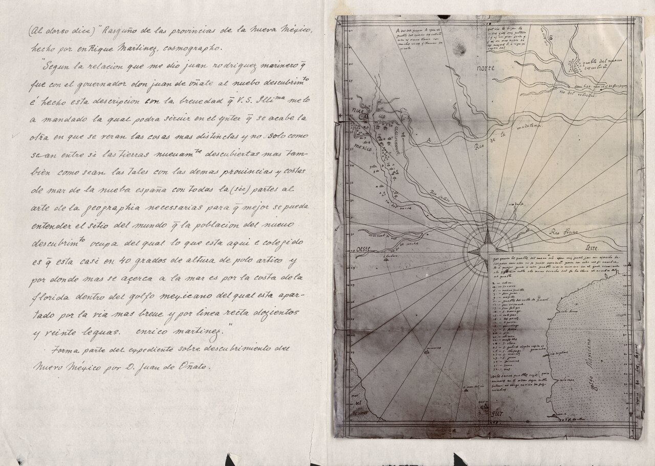
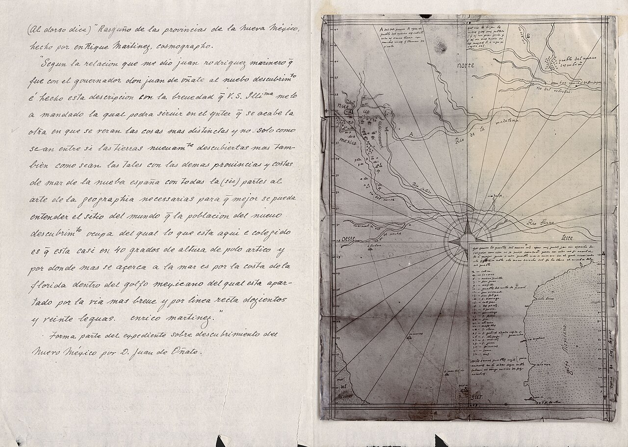
Rasguño de las provincias de la Nueva México
Enrico Martínez · c. 1602
A hand-drawn map made from information supplied by Oñate's men, showing the Rio Grande pueblos and the route of a 1601 expedition onto the plains.
Drawn from reports by Oñate's men, this map records the geography explored during his expeditions.
Free Humy account · No credit card · 120,912 sources to read
About this source
What it is
This sketch map was drawn by Enrico Martínez around 1602, using information gathered from the men who traveled with Juan de Oñate. It shows the pueblos along the Rio Grande and traces the path of an expedition onto the plains in 1601. The original manuscript is held in the Archivo General de Indias in Seville, Spain.
Why it matters
Maps like this one were created by Spanish officials to understand and claim new territory. This map reflects what Oñate's expedition reported back to Spain about the land, the rivers, and the Native settlements they encountered, showing how colonial knowledge of New Mexico was recorded and shared.
Look closer
- Who gave the mapmaker the information shown here, and why might that affect what is included or left out?
- What do the labels and symbols tell you about what the Spanish thought was important to record?
- Whose knowledge of the land is missing from this map?
This document is part of the curated material that grounds the AI version of Juan de Oñate on Humy.ai — when students ask about related events, the AI can quote it and cite it.
More Juan de Oñate sources
Browse all 28 →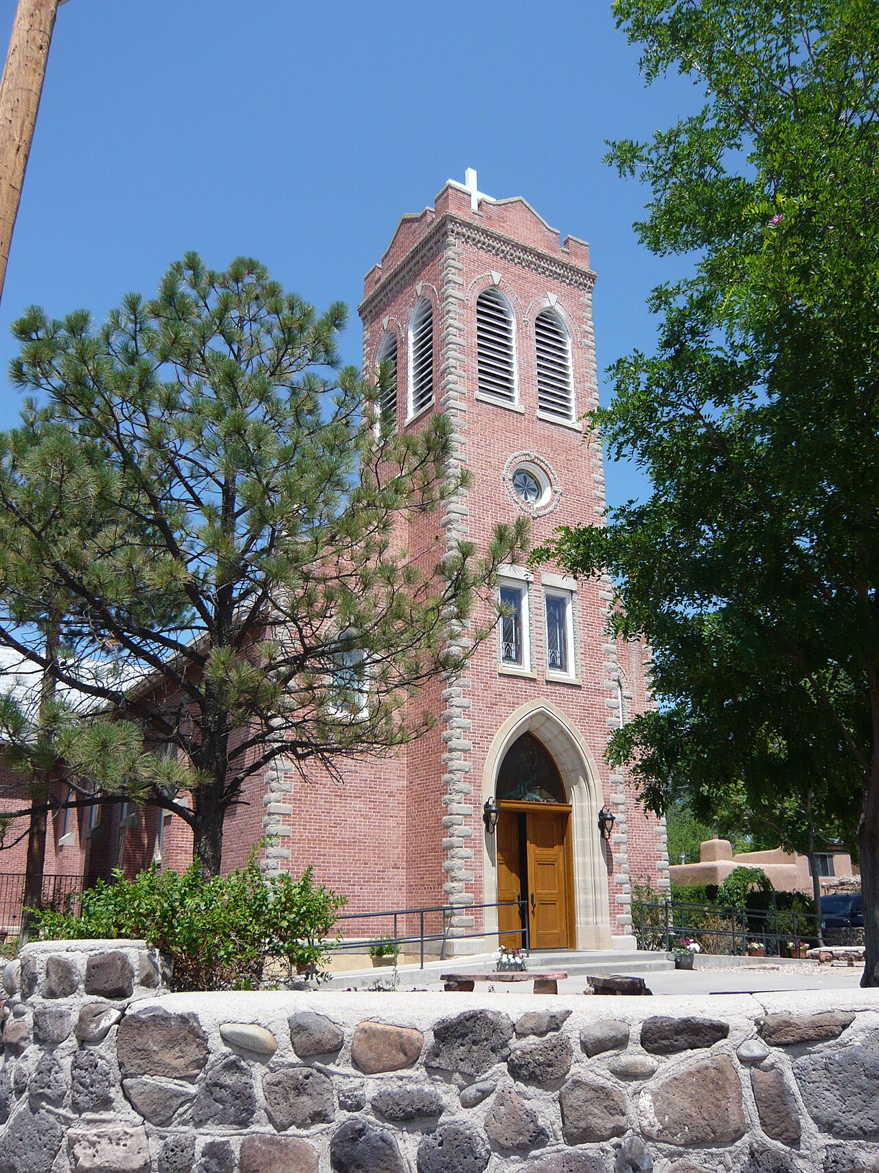 Artifact
Secondary source
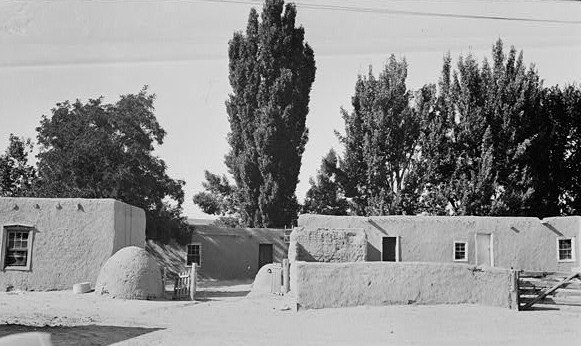
Ohkay Owingeh
1540 (pueblo); 1598 (Spanish capital)
 Book
Secondary source
The Spanish Borderlands: a chronicle of old Florida and the Southwest
Herbert Eugene Bolton · 1921
 Diary entry
Primary source
Diary of Fray Francisco de Escobar on the Colorado River expedition
Francisco de Escobar · 1605
 Document
Secondary source
Rasguño de las provincias de la Nueva México
Enrico Martínez · 1906 photograph of a 1602? manuscript map
Free account
Read every Juan de Oñate source
Sign up free →
Ready when you are
Start chatting with Juan de Oñate now.
20 messages free · No credit card · Available in 50+ languages.