


Secondary sourceDocument19 October 2011
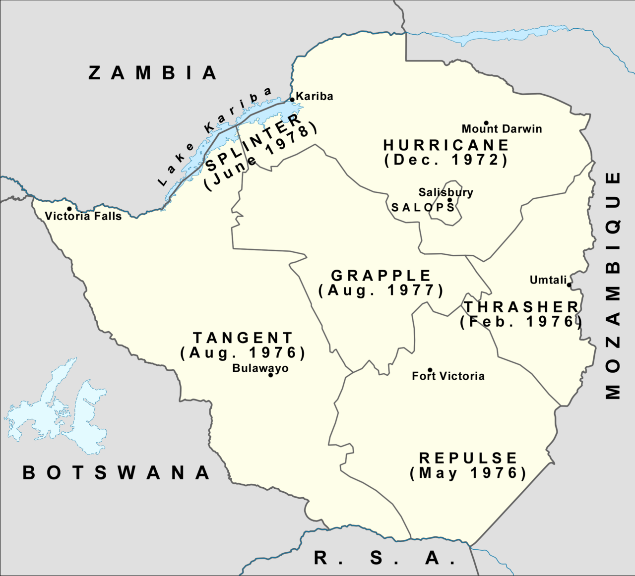
Rhodesian Security Forces Operational Areas Map
Cliftonian · 19 October 2011
A later map showing the operational areas used by Rhodesian security forces in the 1970s Bush War, the conflict that brought Mugabe to power.
Illustrates the war zones of the Bush War in which Mugabe's guerrilla forces operated against Rhodesian rule.
About this source
What it is
A map created in 2011 by a Wikimedia contributor, based on Jackie Cilliers' 1984 study Counter-Insurgency in Rhodesia, showing the operational areas of the Rhodesian Security Forces during the 1970s Bush War, each labelled with a code name and date, such as Hurricane and Thrasher.
Why it matters
The map outlines how the Rhodesian government divided the country into zones to fight guerrilla forces, including those led by Robert Mugabe's movement. It helps show the scale and geography of the war that ended white minority rule and led to Mugabe becoming a national leader.
Look closer
- What do the operation code names and dates suggest about how long and widespread the war was?
- Why would a government divide a country into labelled operational zones like this?
- What does a map like this leave out about the people living in these areas during the fighting?
This document is part of the curated material that grounds the AI version of Robert Mugabe on Humy.ai — when students ask about related events, the AI can quote it and cite it.
More Robert Mugabe sources
Browse all 59 →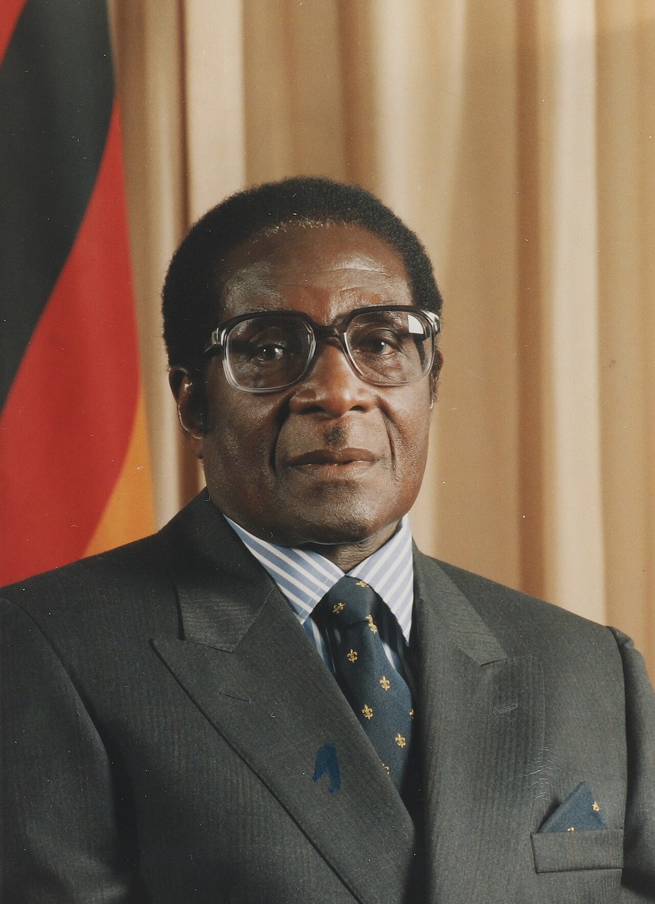 Photograph
Primary source
Official Portrait of Robert Mugabe
Government of Zimbabwe
 Photograph
Primary source
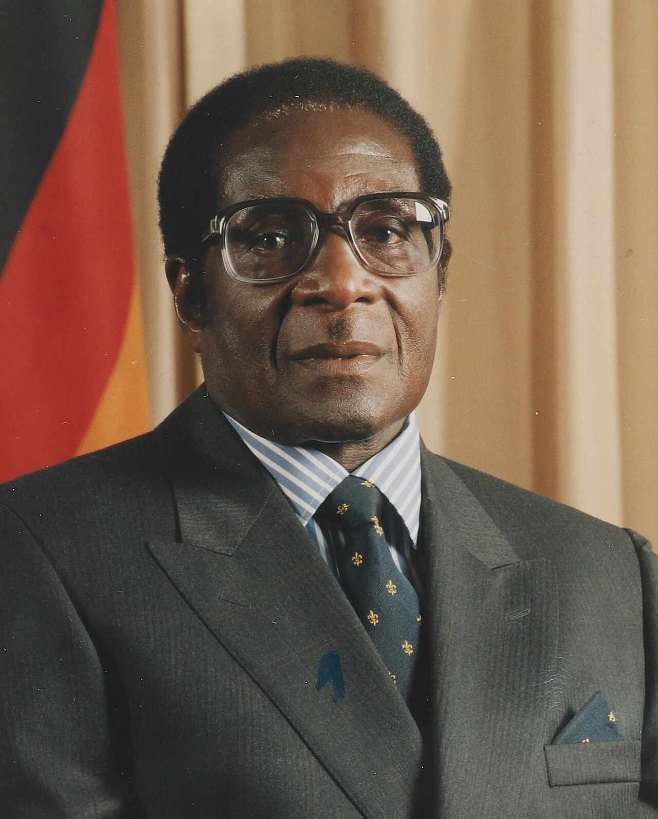
Robert Mugabe Official Portrait (Cropped)
Joseph Nyadzayo
 Document
Primary source
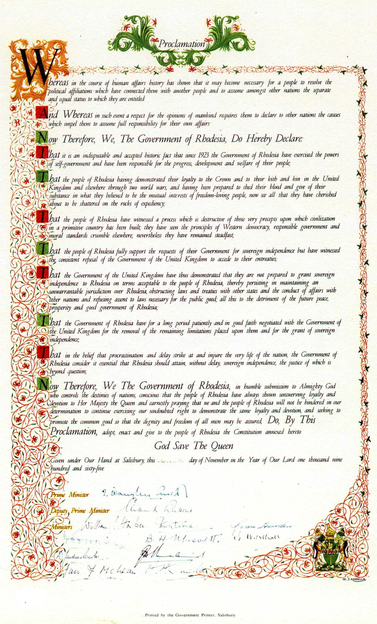
Rhodesia's Unilateral Declaration of Independence
Cabinet of Rhodesia · 11 November 1965
 Artifact
Primary source
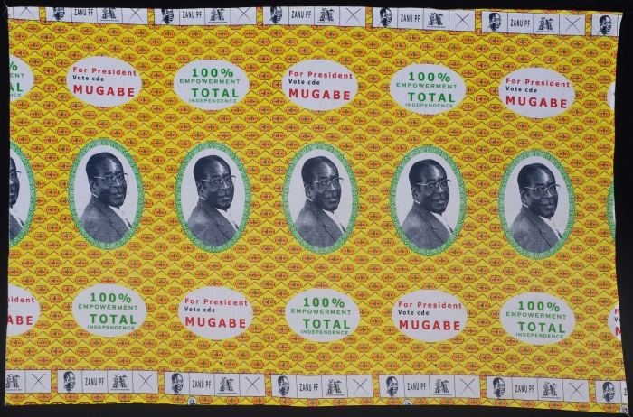
Campaign Cloth with Images of Robert Mugabe
2008
Free account
Read every Robert Mugabe source
Sign up free →
Ready when you are
Start chatting with Robert Mugabe now.
20 messages free · No credit card · Available in 50+ languages.