


Secondary sourceArtifact2009
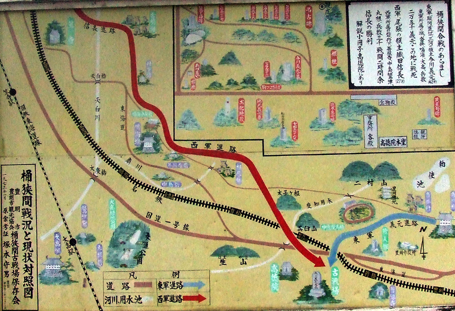
Route Map of Oda and Imagawa Armies at Okehazama
Amenouzume · 2009
A signboard map showing the troop movements of Nobunaga's and Imagawa's forces at the Battle of Okehazama.
Depicts the troop movements of the battle that first made Nobunaga's name as a warlord.
About this source
What it is
This is a photograph of a colorful illustrated signboard map found at the legendary site of the Battle of Okehazama. It shows the terrain of the battle, with arrows marking the routes of the opposing Western (Oda) and Eastern (Imagawa) armies, along with rivers, roads, hills, temples, and shrines.
Why it matters
Okehazama was the battle that made Nobunaga's reputation, when his forces defeated the much larger army of Imagawa Yoshimoto. This kind of map, made for visitors to the historic site, helps explain the terrain and strategy behind that unexpected victory.
Look closer
- What details does the map include to help visitors understand the battle?
- Why might the routes be shown with different colored arrows?
- What can a map like this tell you that a written account cannot?
This artifact is part of the curated material that grounds the AI version of Oda Nobunaga on Humy.ai — when students ask about related events, the AI can quote it and cite it.
More Oda Nobunaga sources
Browse all 89 →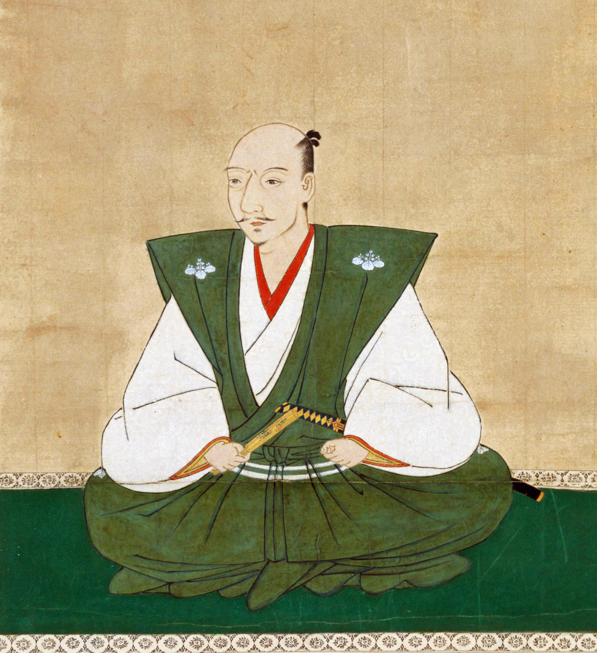 Painting
Secondary source
Portrait of Oda Nobunaga
Kanō school
 Artifact
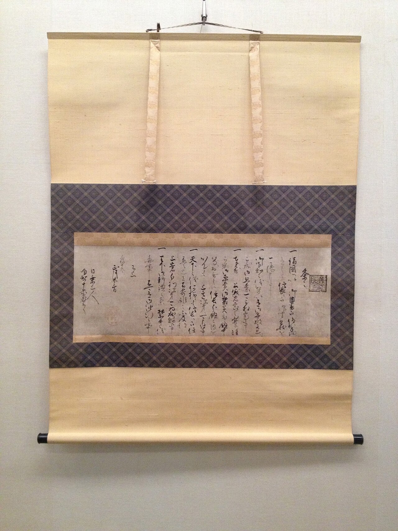
Primary source
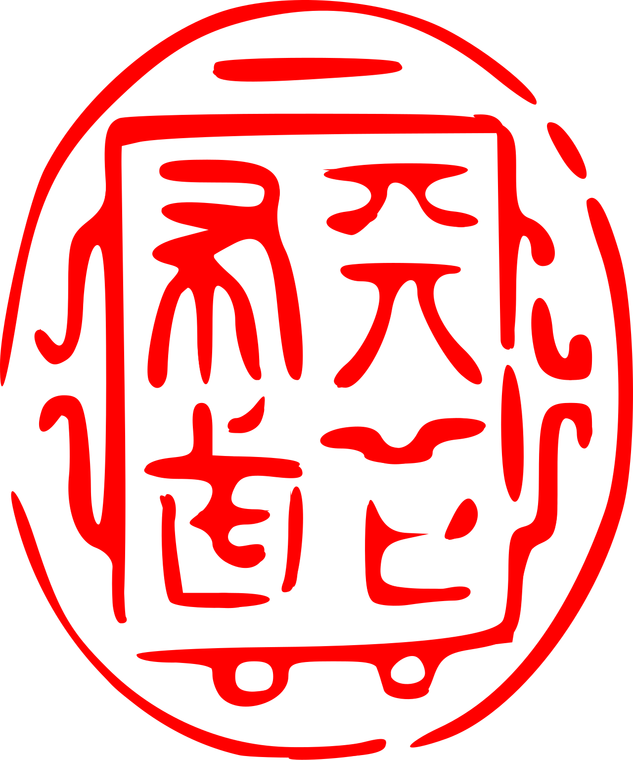
Tenka Fubu Seal
Oda Nobunaga · after 1567
 Artifact
Primary source
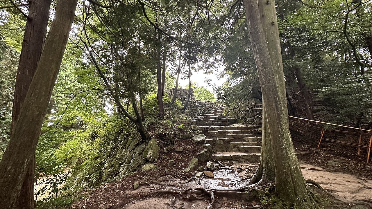
Azuchi Castle
1576-1579
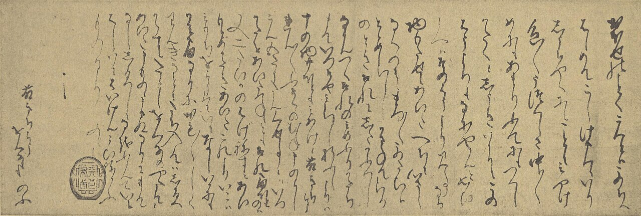 Letter
Primary source
Letter from Oda Nobunaga to Nene
Oda Nobunaga
Free account
Read every Oda Nobunaga source
Sign up free →
Ready when you are
Start chatting with Oda Nobunaga now.
20 messages free · No credit card · Available in 50+ languages.