


Secondary sourceDocument2007
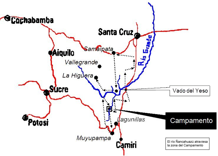
Route of Che Guevara's Guerrilla Group in Bolivia, 1967
Pepe Robles · 2007
A 2007 hand-drawn style map of southeastern Bolivia showing the dotted route of Guevara's guerrilla group in 1967. It is a modern map of his final campaign.
It traces the route of the guerrilla group Guevara led in Bolivia in 1967, his final campaign before his death.
Free Humy account · No credit card · 120,912 sources to read
About this source
What it is
This is a map made in 2007 by Pepe Robles. It shows southeastern Bolivia in red and blue, with labelled towns such as Cochabamba, Santa Cruz, Sucre, Potosí, Camiri and La Higuera. Black dotted arrows trace the route taken by the guerrilla group led by Guevara in 1967, passing near Río Grande, Vado del Yeso and a marked camp. A Spanish note says the Ñancahuazú river crosses the camp area.
Why it matters
The map shows the path of Guevara's last campaign in Bolivia. It helps students see the distances and places involved, and the towns named on it show where his group moved and where it ended. Because it was drawn decades later, it is a modern reconstruction based on the events of 1967.
Look closer
- Which towns and rivers does the route pass, and what does the dotted line tell you about how the group moved?
- Who drew this map, and what might they have used as evidence for the route?
- What does the map leave out, such as the local people the group met or the reasons the route changed?
This document is part of the curated material that grounds the AI version of Che Guevara on Humy.ai — when students ask about related events, the AI can quote it and cite it.
More Che Guevara sources
Browse all 98 →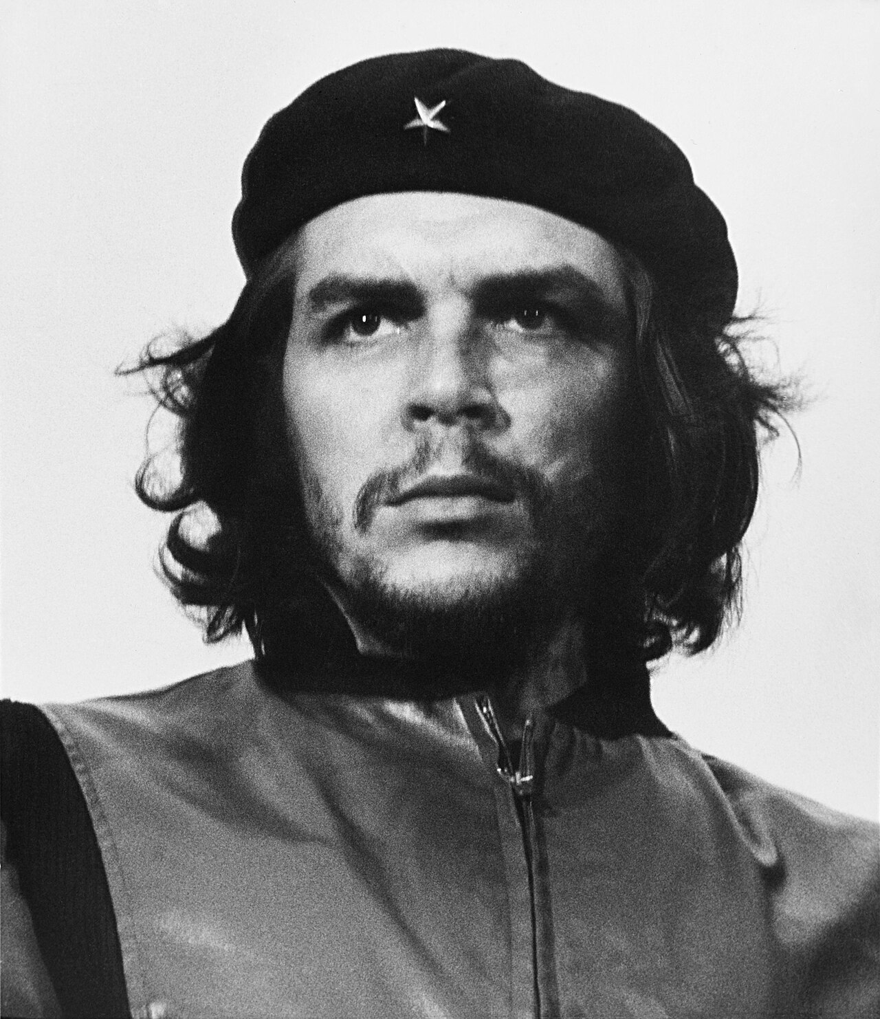 Photograph
Primary source
Guerrillero Heroico
Alberto Korda · 5 March 1960
 Photograph
Primary source
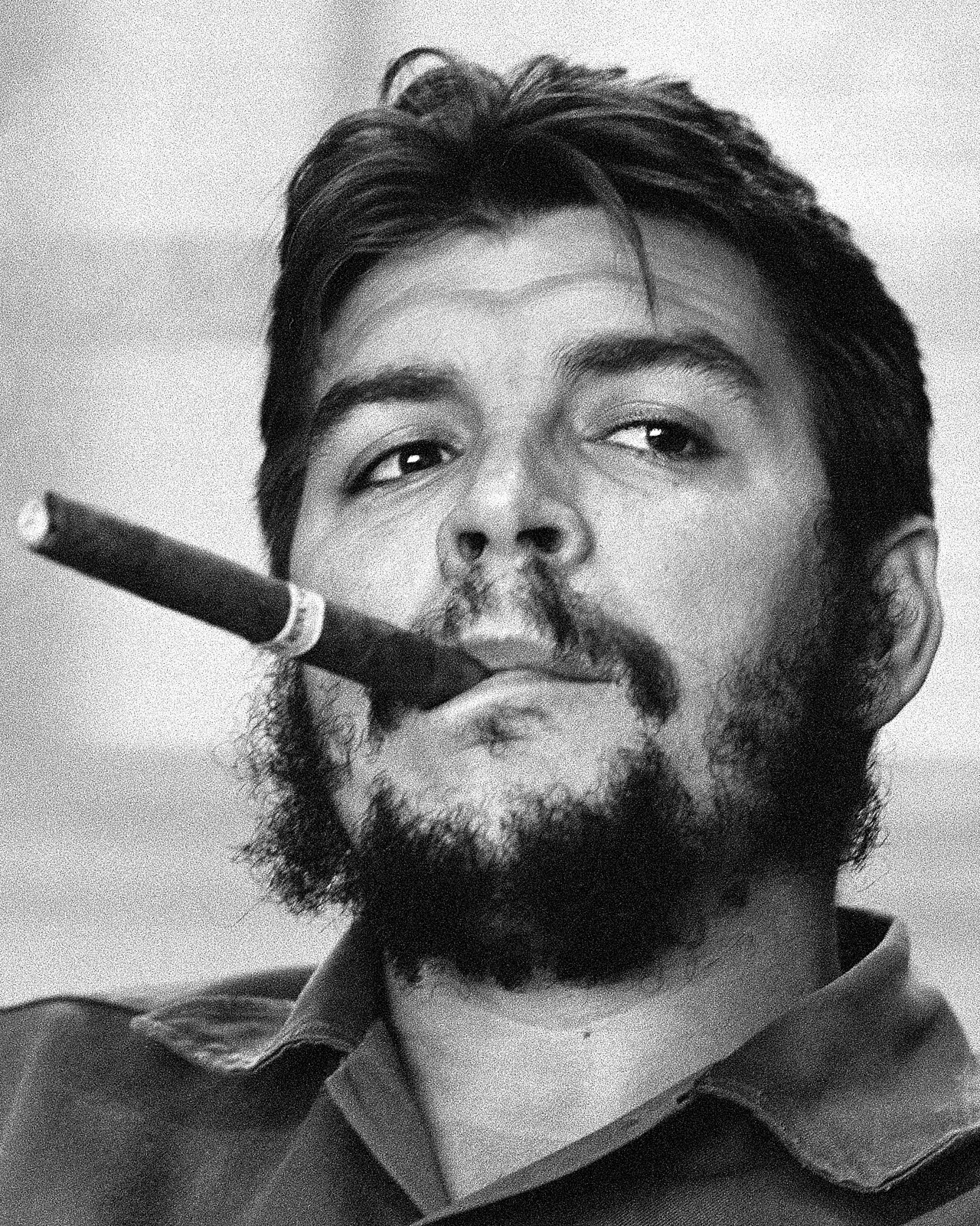
Che Guevara smoking a cigar, Havana 1963
René Burri · 1963
 Photograph
Primary source
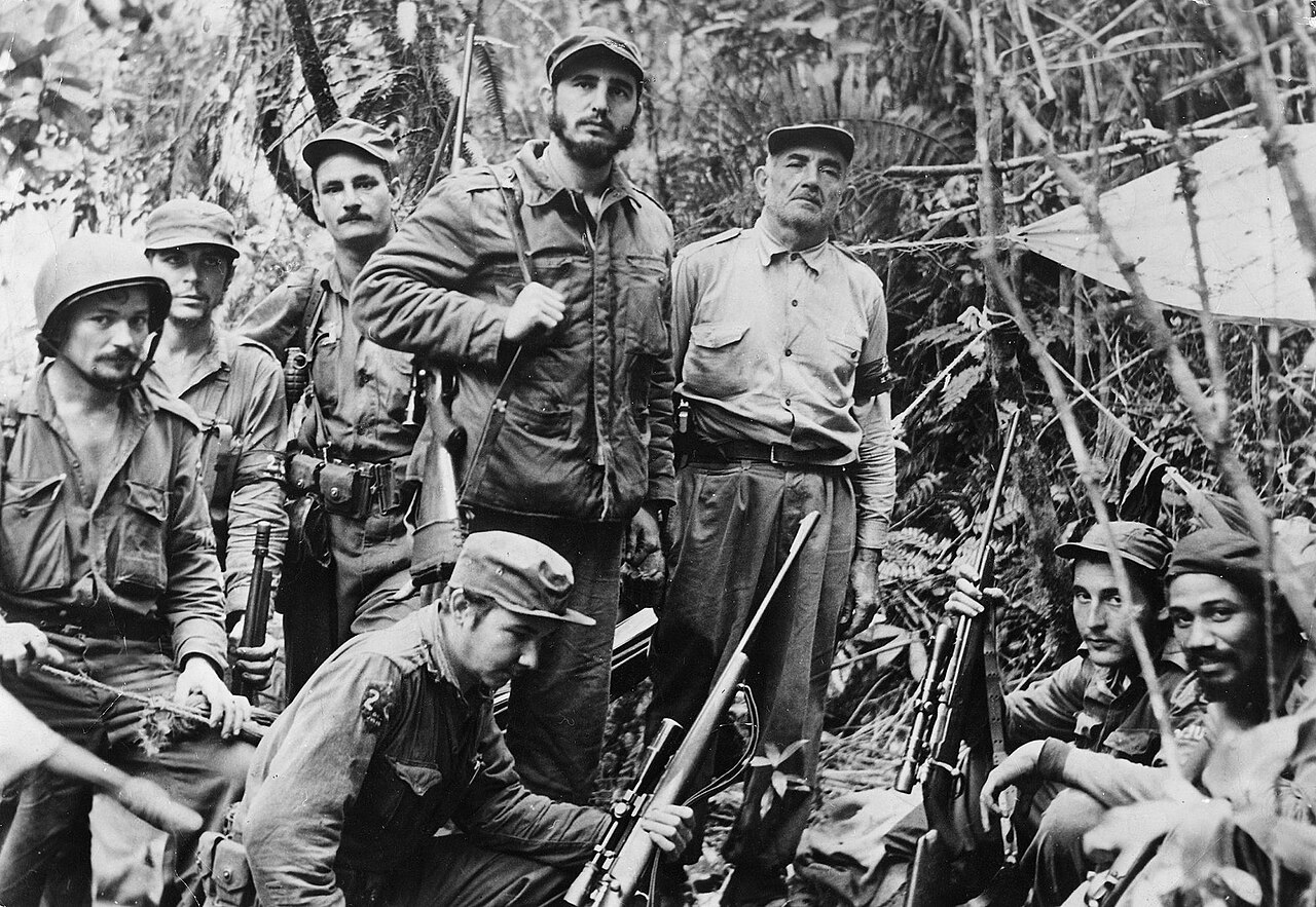
Fidel Castro and His Men in the Sierra Maestra
Unknown · 2 December 1956
Primary source
Speech to the Youth, Havana 1962
Ernesto Che Guevara · 1962
Free account
Read every Che Guevara source
Sign up free →
Ready when you are
Start chatting with Che Guevara now.
20 messages free · No credit card · Available in 50+ languages.