


Secondary sourceDocument1913
Route of Ponce de León in 1513
L. D. Scisco · 1913
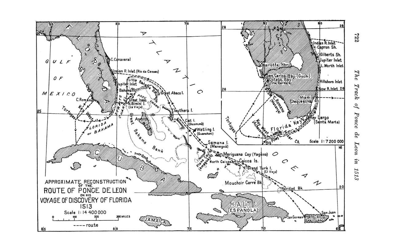
A 1913 scholarly map reconstructing the route of Ponce de León's 1513 Florida voyage, reflecting historians' debates over his exact path.
This scholarly map reconstructs the disputed 1513 route of Ponce de León's Florida voyage.
About this source
What it is
This map, published by L. D. Scisco in 1913 in the Bulletin of the American Geographical Society, is an approximate reconstruction of Ponce de León's 1513 voyage of discovery to Florida. It shows a dashed route through the Bahamas, the Florida Keys, and the Caribbean, with an inset of Florida's east coast.
Why it matters
Historians have long debated exactly where Ponce de León landed and which path he sailed in 1513, since the original records are incomplete or disputed. This map represents one early 20th-century scholar's attempt to reconstruct that route, showing how historical geography is often a matter of careful argument rather than certainty.
Look closer
- Why might historians disagree about the exact route of a 500-year-old voyage?
- What kinds of evidence would a mapmaker need to draw a route like this?
- What does the map leave out about the people already living in the places Ponce de León 'discovered'?
This document is part of the curated material that grounds the AI version of Juan Ponce de León on Humy.ai — when students ask about related events, the AI can quote it and cite it.
More Juan Ponce de León sources
Meet the AI Juan Ponce de León → Book
Secondary source
Historia general de los hechos de los castellanos en las islas y tierra firme del mar océano (Décadas)
Antonio de Herrera y Tordesillas · 1601–1615
 Letter
Primary source
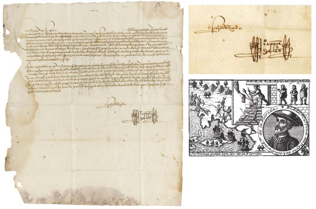
Handwritten Letter from Ponce de León to Ochoa de Isásaga
Juan Ponce de León
 Document
Primary source
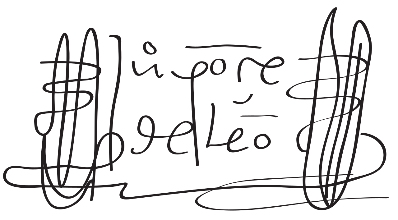
Signature of Juan Ponce de León
Juan Ponce de León
 Book
Secondary source
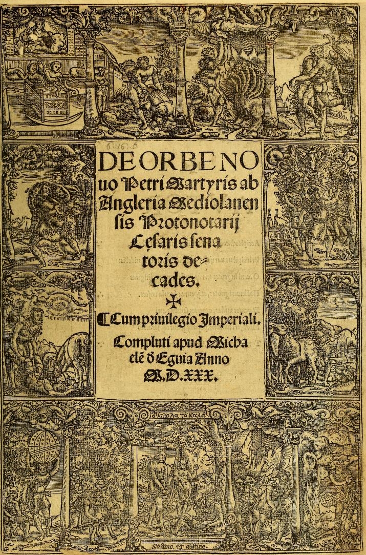
Decades of the New World
Peter Martyr d'Anghiera · 1530 (complete edition)
 Book
Secondary source
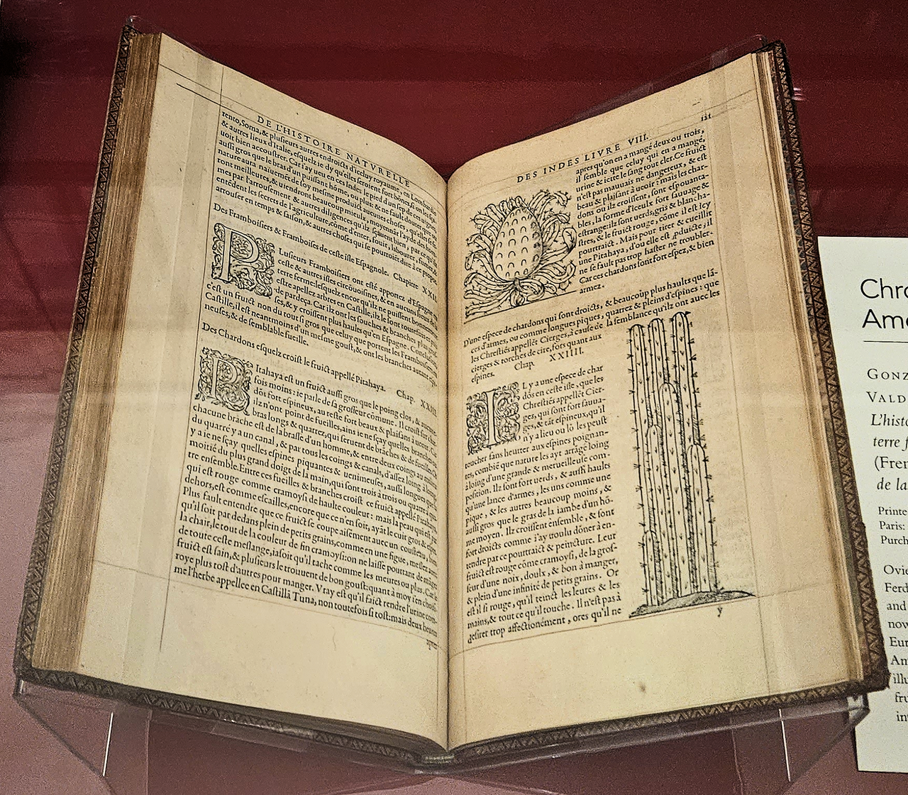
Historia general y natural de las Indias
Gonzalo Fernández de Oviedo y Valdés · 1556 (French edition); original work 16th century
Ready when you are
Start chatting with Juan Ponce de León now.
20 messages free · No credit card · Available in 50+ languages.