


Secondary sourceDocument2 January 1899
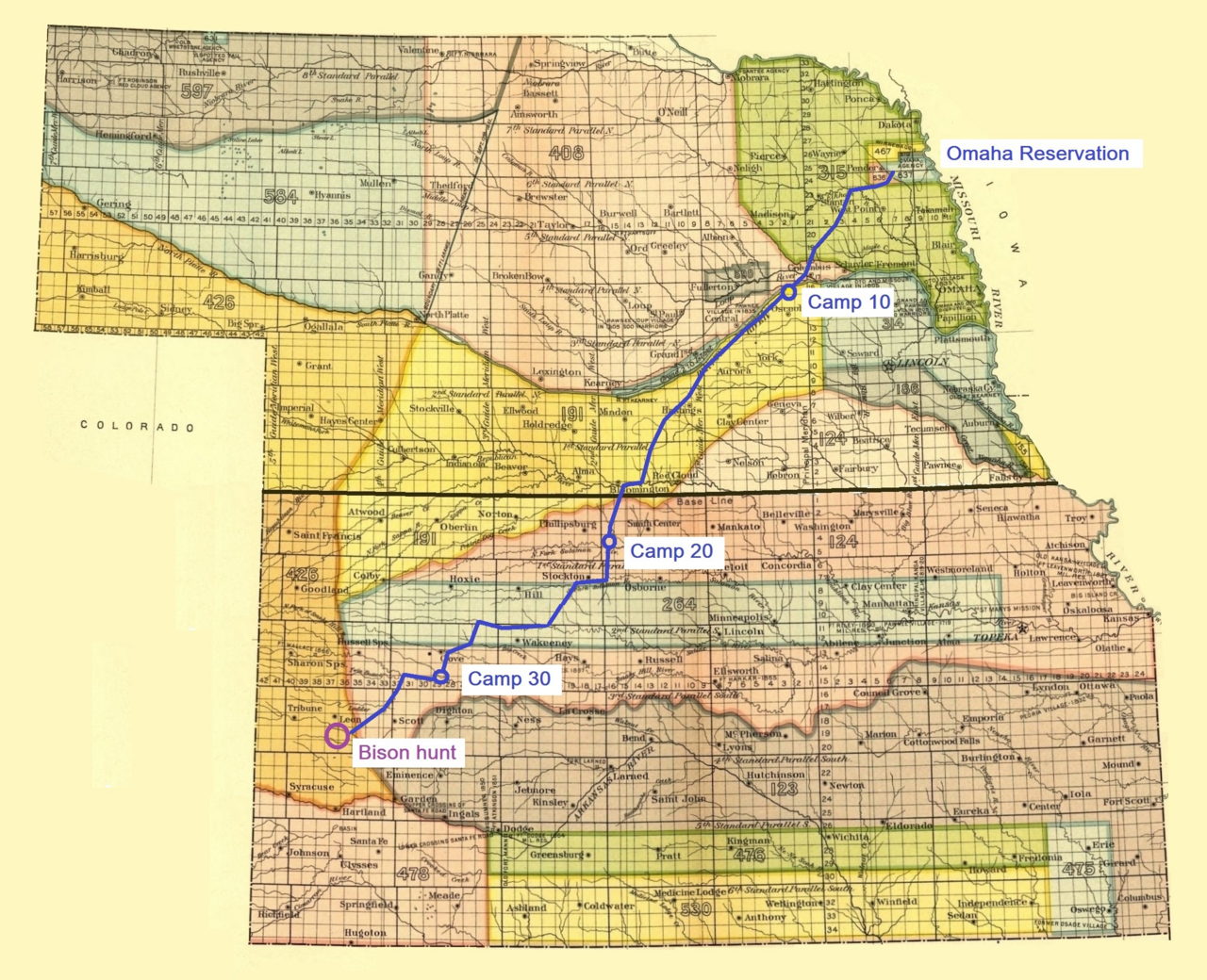
Route of the Omaha Tribe's Last Bison Hunt
2 January 1899
A map tracing the Omaha tribe's 1876 bison hunt route, offering context for Plains Indian life near the Ponca homeland.
Maps the hunting life of a neighboring Plains tribe, providing context for the world and changes Standing Bear's Ponca people also experienced.
About this source
What it is
This map, created around 1899, traces the route of the Omaha tribe's last tribal bison hunt in 1876, based on research by Melvin R. Gilmore. It shows the route from the Omaha Reservation through several camps to a hunting site in southwest Kansas.
Why it matters
The Omaha were neighbors of the Ponca people that Standing Bear led, and this map shows the kind of seasonal hunting life that was ending for Plains tribes in the late 19th century as reservations and government policy reshaped their movement and economy. It helps illustrate the broader changes Standing Bear and his people were living through.
Look closer
- What does the detail of this route suggest about how important the bison hunt was to the Omaha?
- Why might this be described as the tribe's "last" tribal hunt?
- How might mapping a hunt differently from the people who lived it change what we understand about it?
This document is part of the curated material that grounds the AI version of Standing Bear on Humy.ai — when students ask about related events, the AI can quote it and cite it.
More Standing Bear sources
Meet the AI Standing Bear →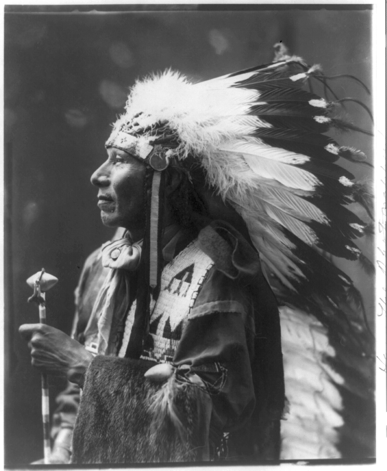 Photograph
Primary source
Portrait of Standing Bear in War Bonnet
 Artifact
Primary source
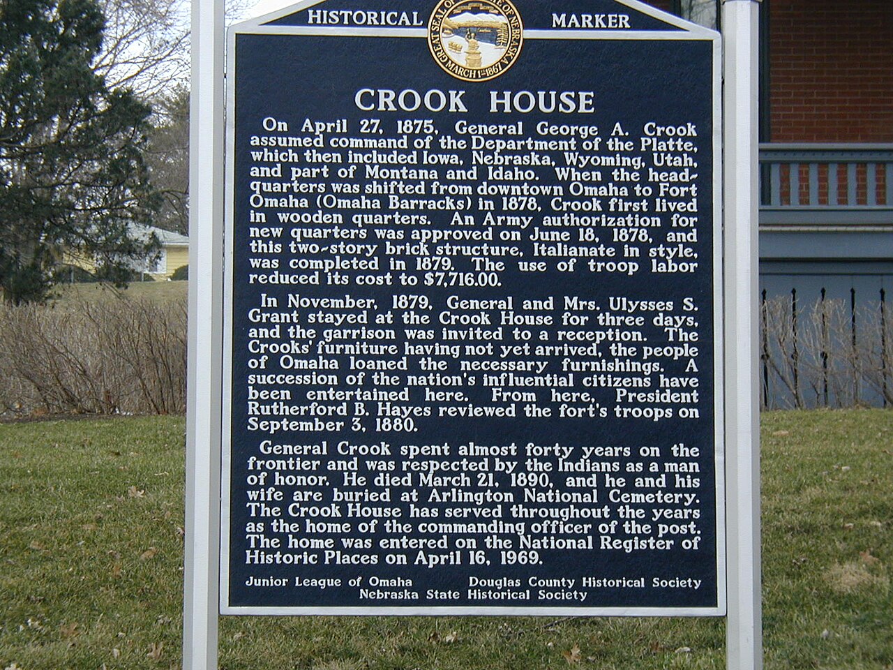
Fort Omaha
1868
 Book
Secondary source
The Ponca Chiefs: An Indian's Attempt to Appeal from the Tomahawk to the Courts
Thomas Henry Tibbles · 1879
 Artifact
Primary source
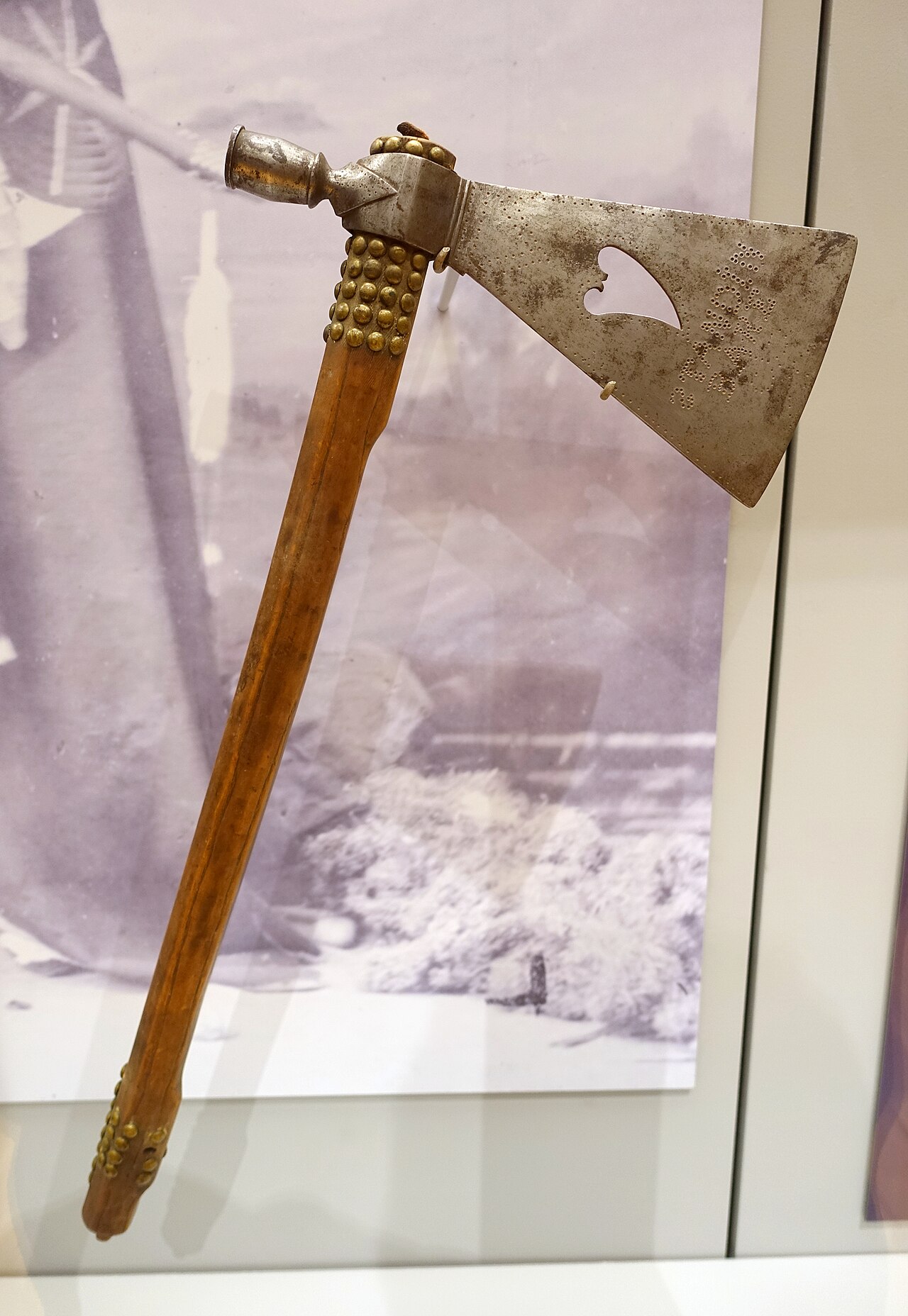
Pipe-Tomahawk Given by Standing Bear to John Lee Webster
1879
 Newspaper article
Primary source
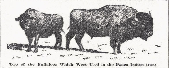
Two Buffaloes Used in the Ponca Indian Hunt
1904
Ready when you are
Start chatting with Standing Bear now.
20 messages free · No credit card · Available in 50+ languages.