


Secondary sourcePhotograph10 June 1943
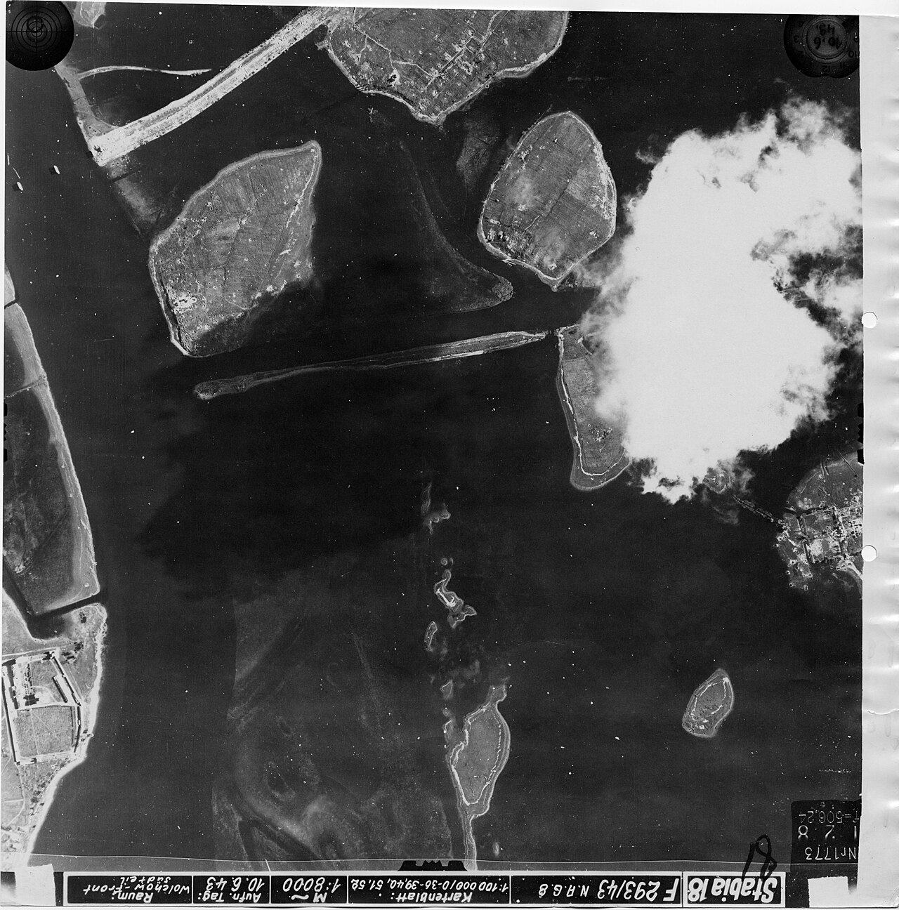
Rurikovo Gorodishche Aerial Photograph, 1943
10 June 1943
A 1943 German wartime aerial photo of Rurikovo Gorodishche, the site traditionally linked to Rurik's rule.
Shows the landscape of the site traditionally linked to Rurik's seat of power, long after his lifetime.
About this source
What it is
This is a black-and-white aerial photograph taken on 10 June 1943 by German forces during the Second World War. It shows Rurikovo Gorodishche, a site near Novgorod traditionally associated with Rurik, along with surrounding islands, a causeway, and a town.
Why it matters
Although taken over a thousand years after Rurik's time, the photo documents the landscape of a place tied to his legend. It also shows how military reconnaissance repurposed historic sites for strategic mapping during wartime.
Look closer
- Why would German forces in 1943 be interested in photographing this particular site?
- What can an aerial photo tell us, and what can it not tell us, about a site's ancient history?
- How does the smoke or haze in the image change how you read the scene?
This photograph is part of the curated material that grounds the AI version of Rurik on Humy.ai — when students ask about related events, the AI can quote it and cite it.
More Rurik sources
Browse all 54 →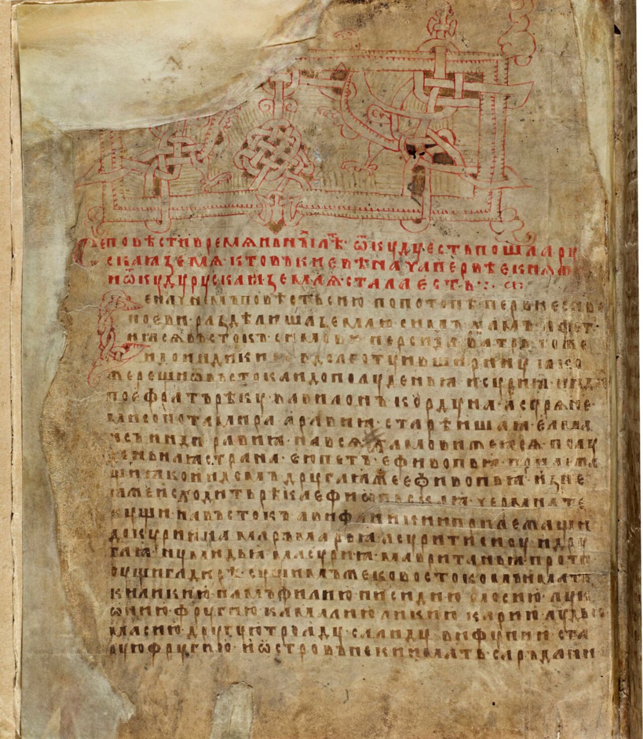 Document
Secondary source
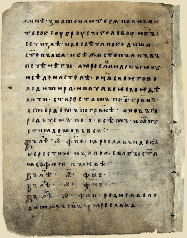
Laurentian Codex
Laurentius · 1377
 Painting
Secondary source
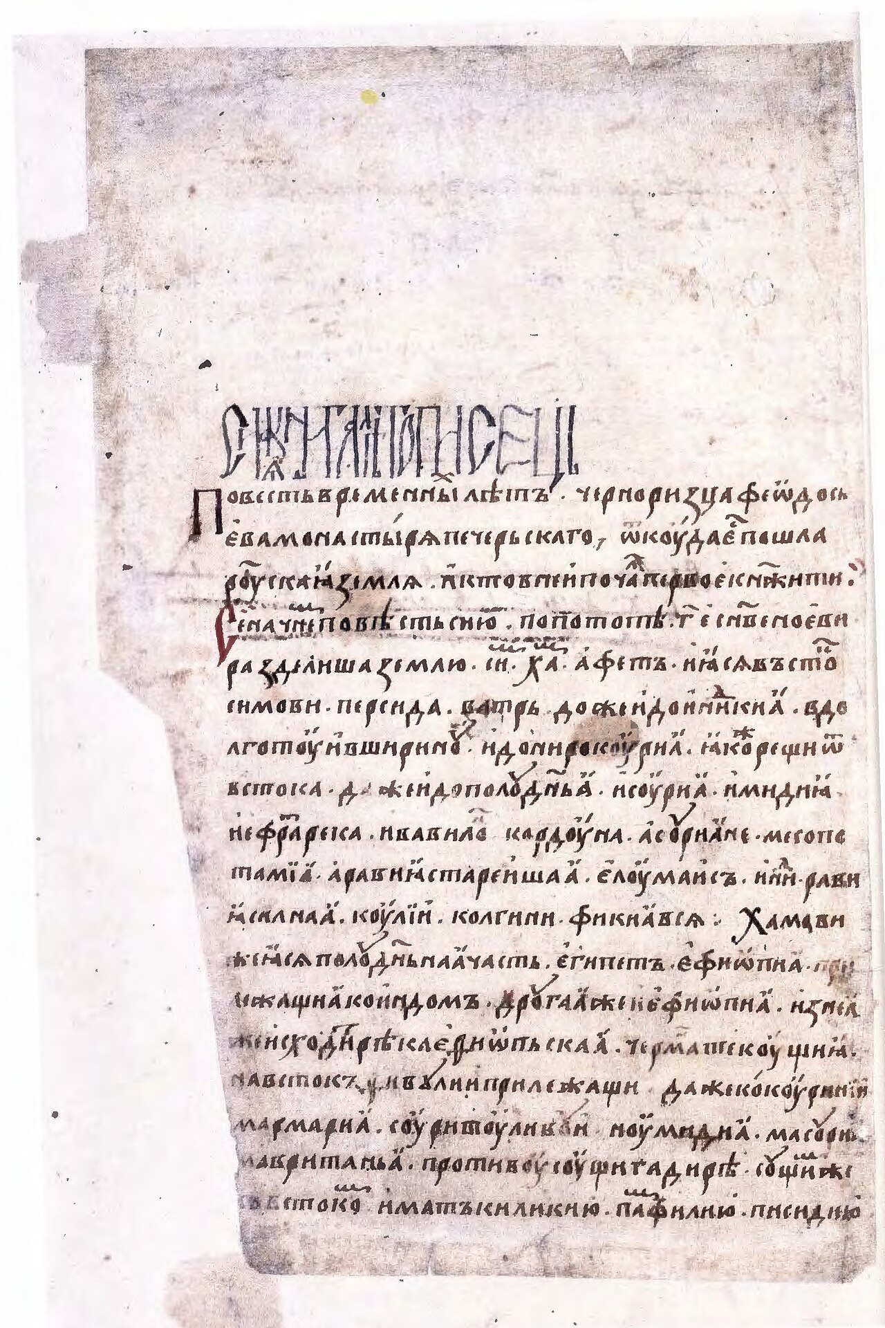
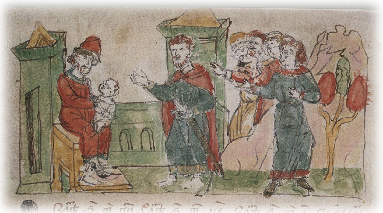
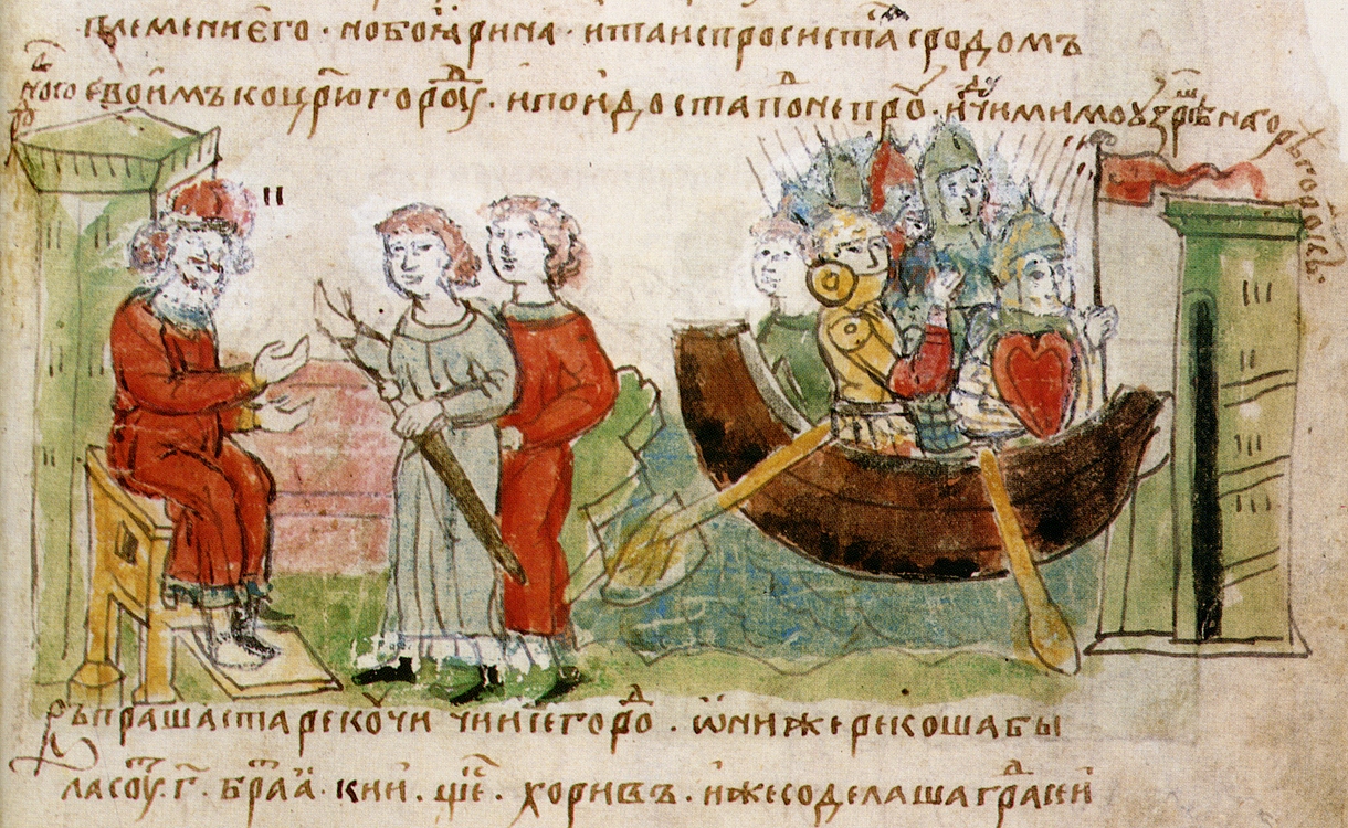
Radziwiłł Chronicle
c. 1500 (copy of a 13th-century original)
 Document
Secondary source
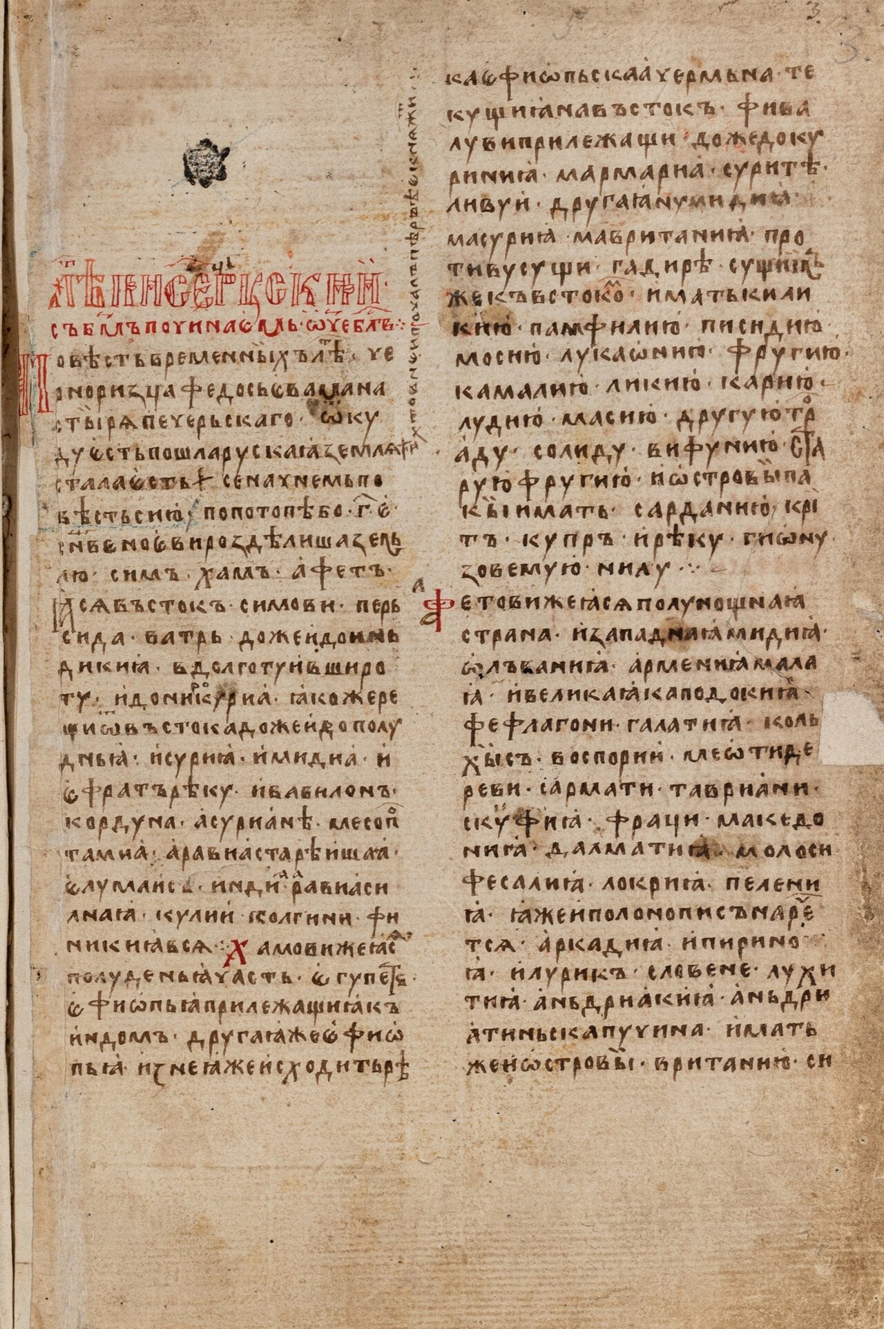
Hypatian Codex
c. 1425
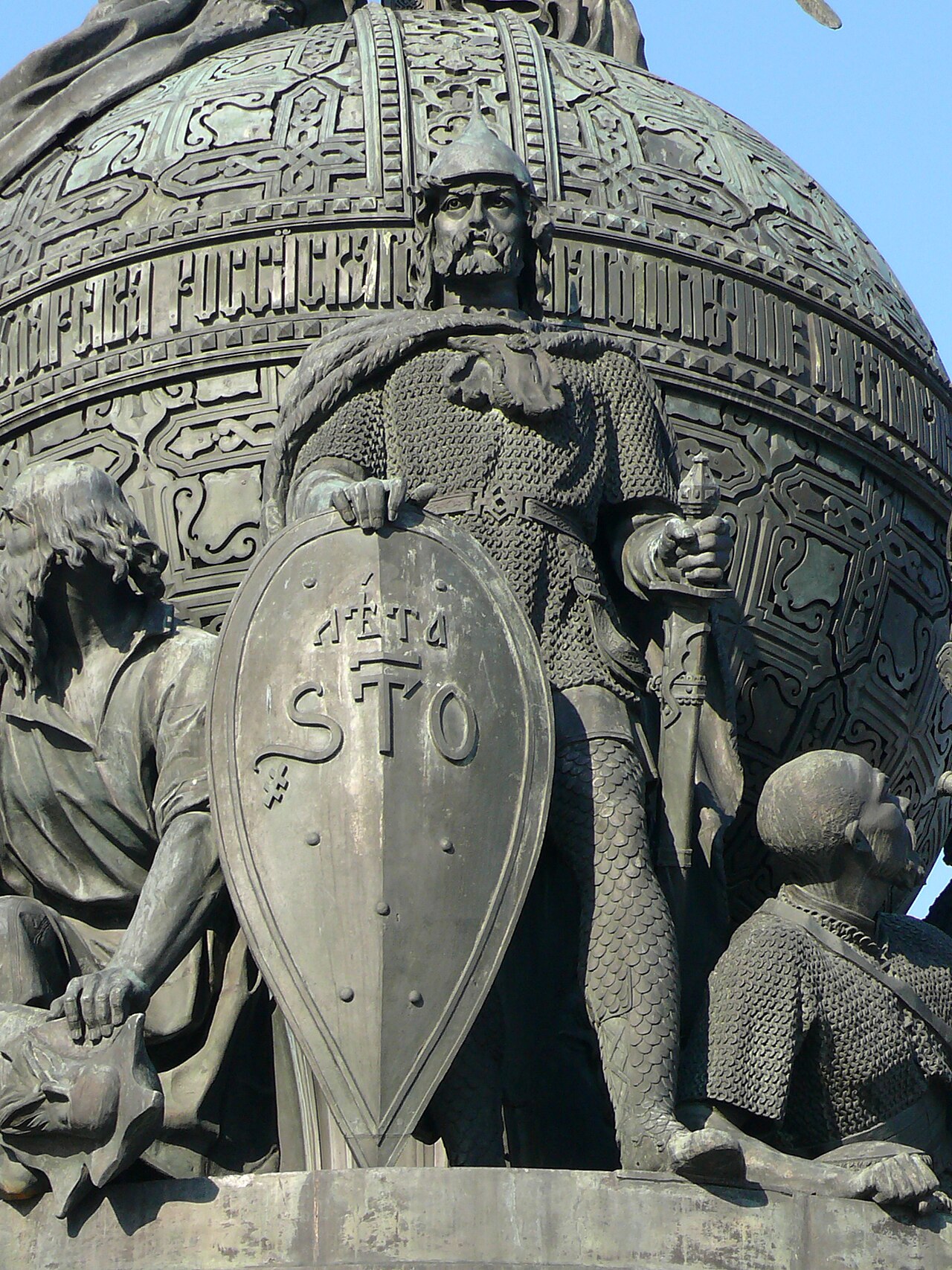 Sculpture
Secondary source
Rurik on the Millennium of Russia Monument
1862
Free account
Read every Rurik source
Sign up free →
Ready when you are
Start chatting with Rurik now.
20 messages free · No credit card · Available in 50+ languages.