


Secondary sourcePhotograph19 August 2015
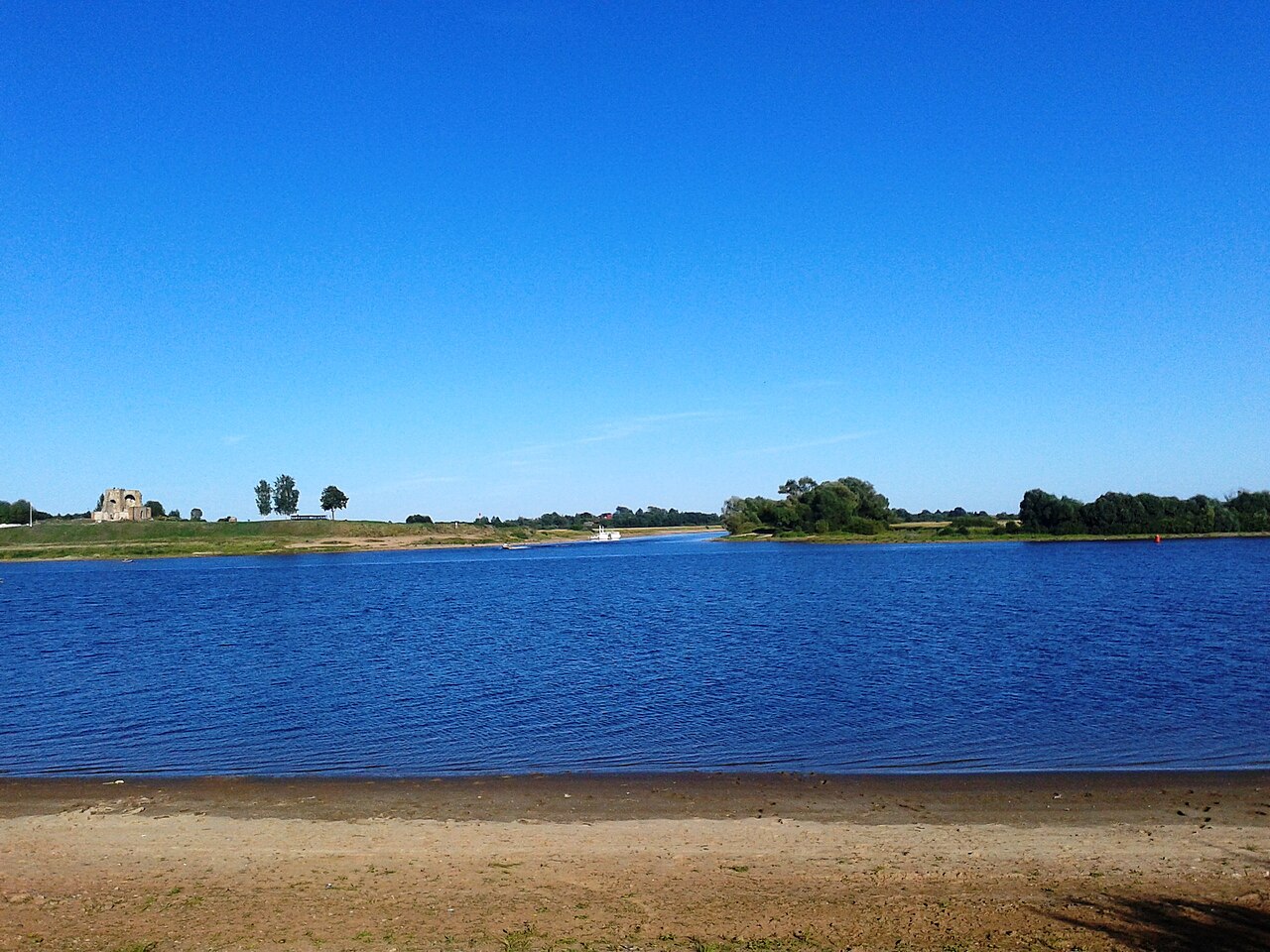
Rurikovo Gorodishche, river view
Максим Вячеславович Гуреев · 19 August 2015
A modern photograph of the Volkhov River site near Novgorod traditionally linked to Rurik's settlement.
Shows the traditional site of Rurik's settlement near Novgorod, giving geographic context to his story.
About this source
What it is
This is a modern photograph taken in 2015 showing the Volkhov River near Veliky Novgorod, with the remains of a small stone structure visible on the far bank. The site is known as Rurikovo Gorodishche, traditionally identified as the place where the Varangian chieftain Rurik is said to have settled.
Why it matters
Archaeological sites like this one help historians and students imagine the landscape of early medieval Rus, where Rurik and his followers are traditionally said to have established power. The photograph itself is not ancient evidence, but shows the place that carries his name today.
Look closer
- What can and can't a modern photograph tell us about events over a thousand years ago?
- Why might a place keep a historical name even without written proof of exact events there?
- What clues in the landscape might archaeologists look for?
This photograph is part of the curated material that grounds the AI version of Rurik on Humy.ai — when students ask about related events, the AI can quote it and cite it.
More Rurik sources
Browse all 54 →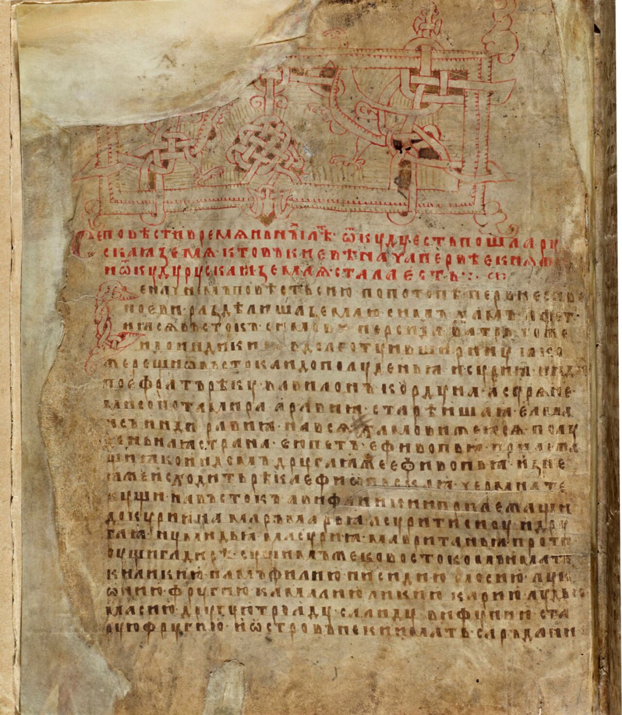 Document
Secondary source
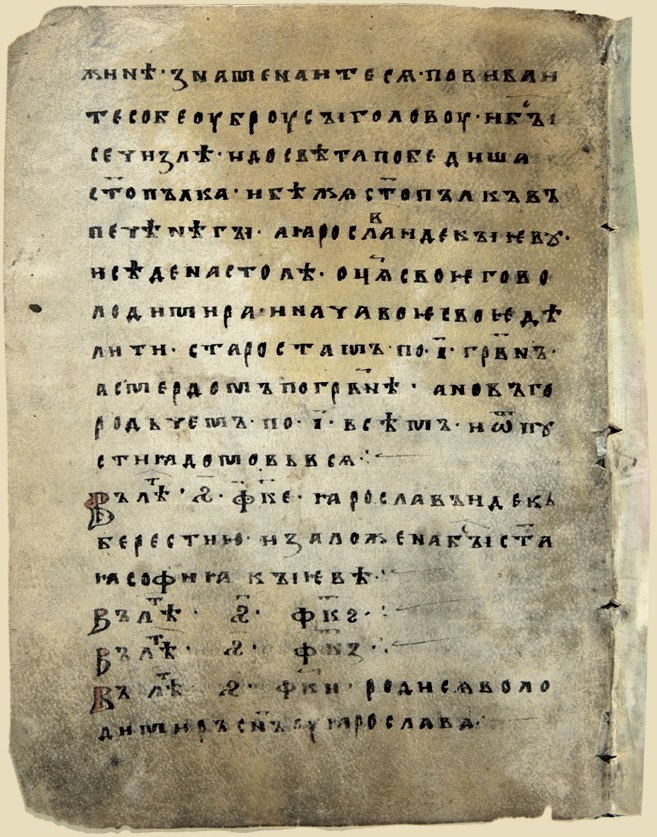
Laurentian Codex
Laurentius · 1377
 Painting
Secondary source
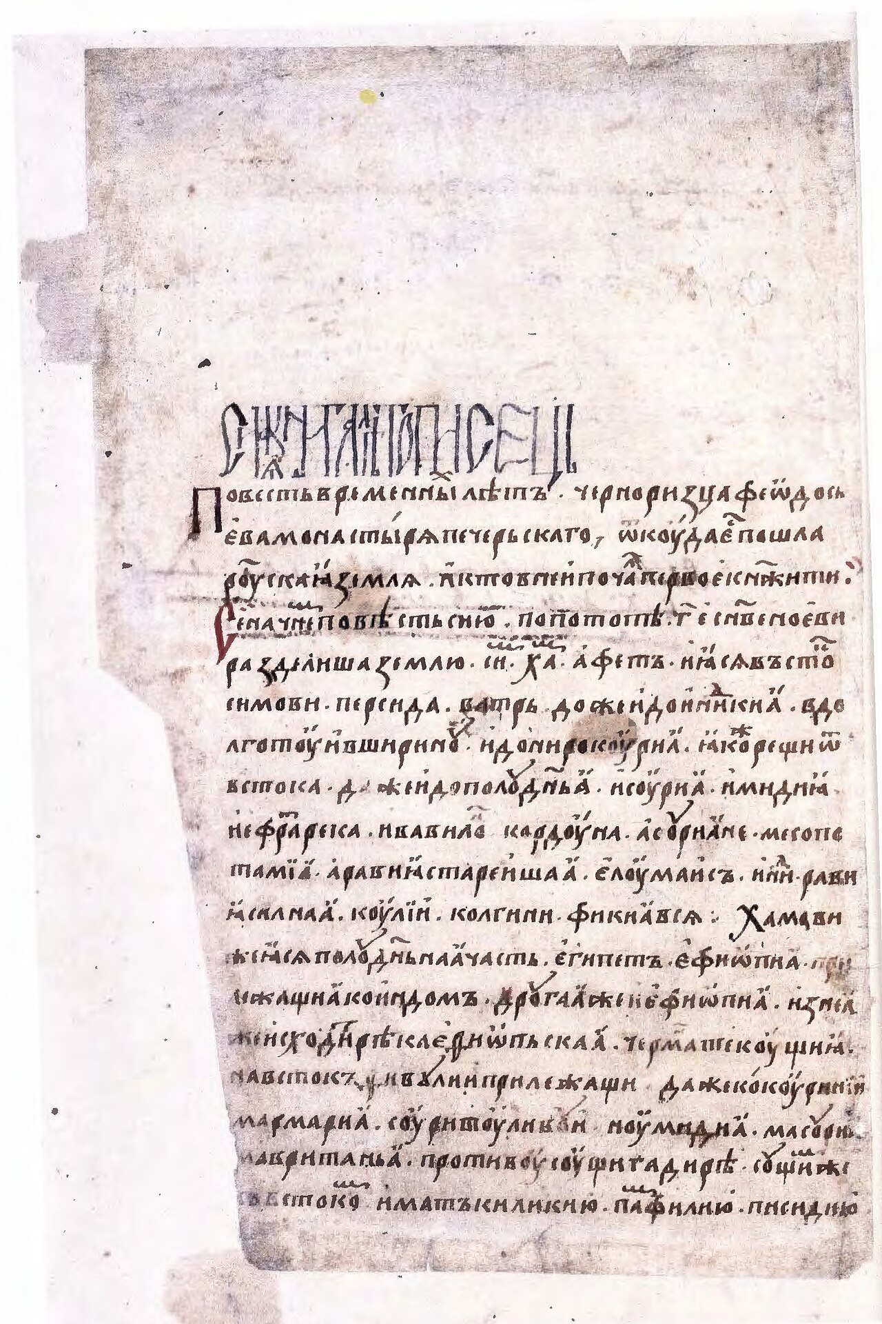
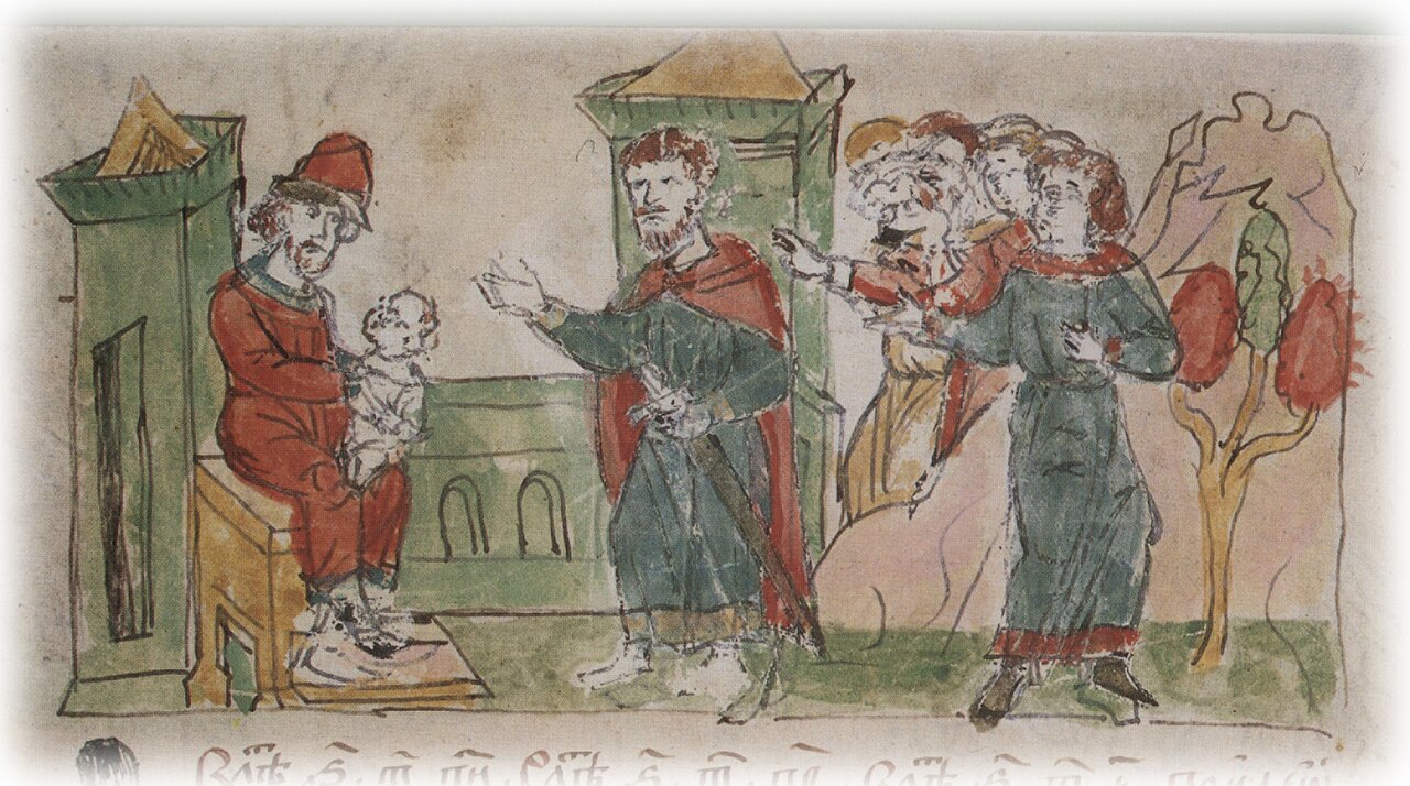
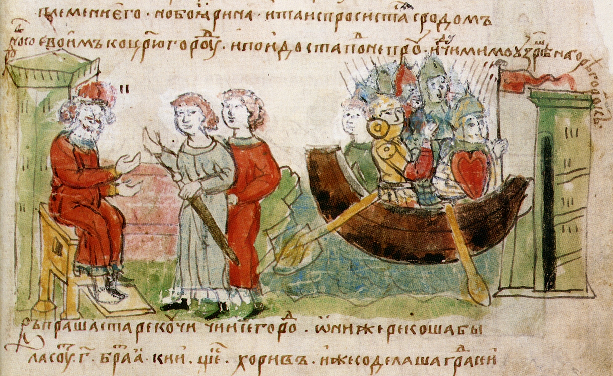
Radziwiłł Chronicle
c. 1500 (copy of a 13th-century original)
 Document
Secondary source
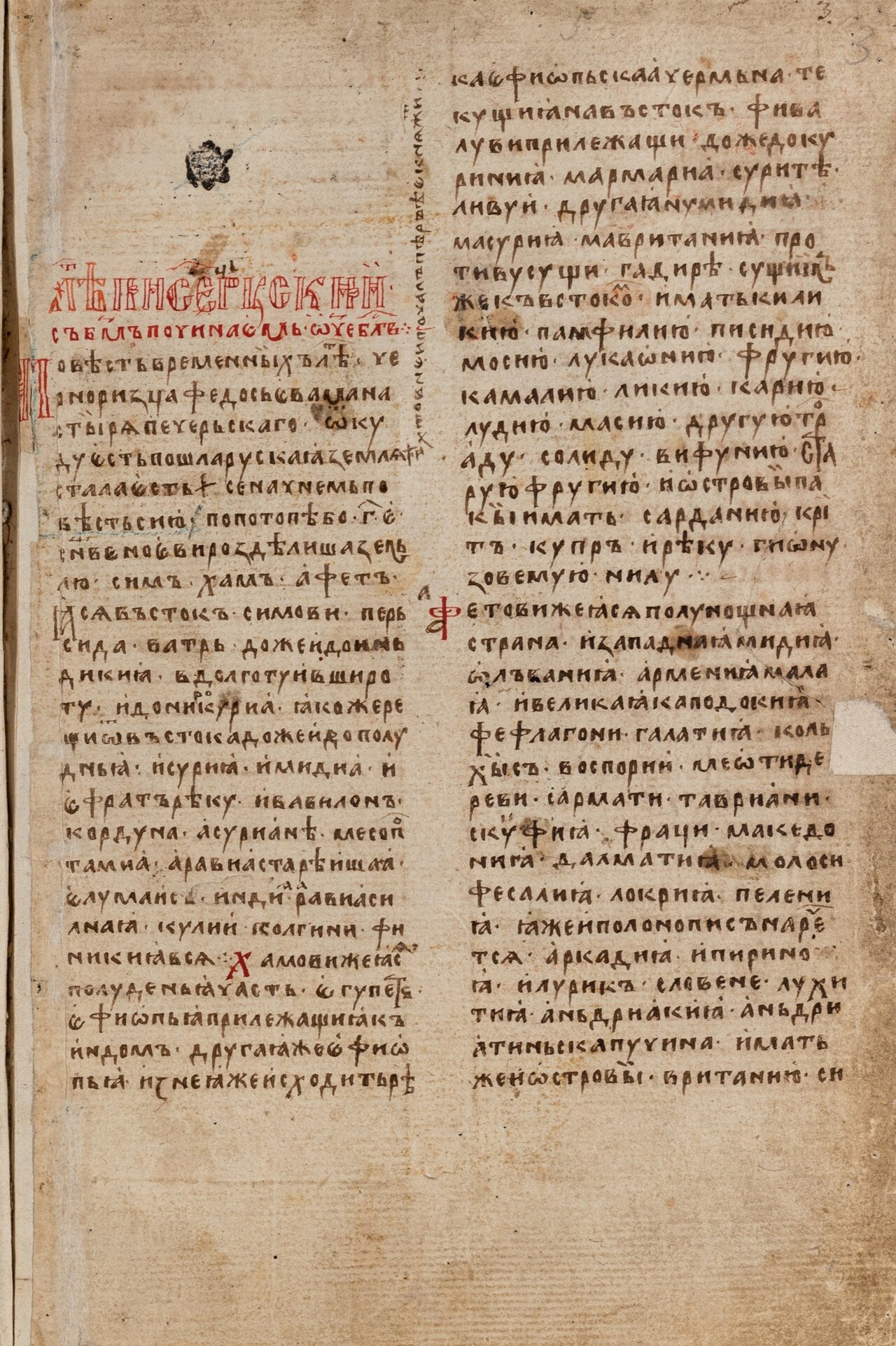
Hypatian Codex
c. 1425
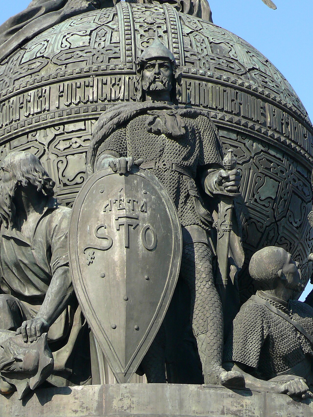 Sculpture
Secondary source
Rurik on the Millennium of Russia Monument
1862
Free account
Read every Rurik source
Sign up free →
Ready when you are
Start chatting with Rurik now.
20 messages free · No credit card · Available in 50+ languages.