


Secondary sourcePhotograph15 May 2021
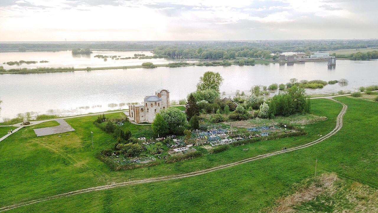
Rurikovo Gorodishche Site from the Southeast
Красный · 15 May 2021
A modern aerial photograph of Rurikovo Gorodishche, the riverside site near Novgorod traditionally associated with Rurik's settlement.
Shows the site traditionally identified as Rurik's settlement near Novgorod, though it dates from many centuries later.
About this source
What it is
This photograph, taken in 2021, shows the Rurikovo Gorodishche area from the southeast. It includes the ruins of a stone church built in the 1340s, the sixth church known to have stood on the site, with the town of Novgorod visible on the horizon beyond a river and bridge.
Why it matters
Rurikovo Gorodishche is traditionally identified as the site of Rurik's settlement, the place where later chronicles say he established his rule. The photograph does not show Rurik or his era directly, but it shows the landscape that archaeologists and historians connect to the earliest history of Russian statehood.
Look closer
- What can and can't a photograph like this tell us about events said to have happened over a thousand years earlier?
- Why do you think this site, rather than another, became linked with Rurik's name?
- What traces of later history (the church, the bridge, the city) are visible, and how might they help or confuse historians?
This photograph is part of the curated material that grounds the AI version of Rurik on Humy.ai — when students ask about related events, the AI can quote it and cite it.
More Rurik sources
Browse all 54 →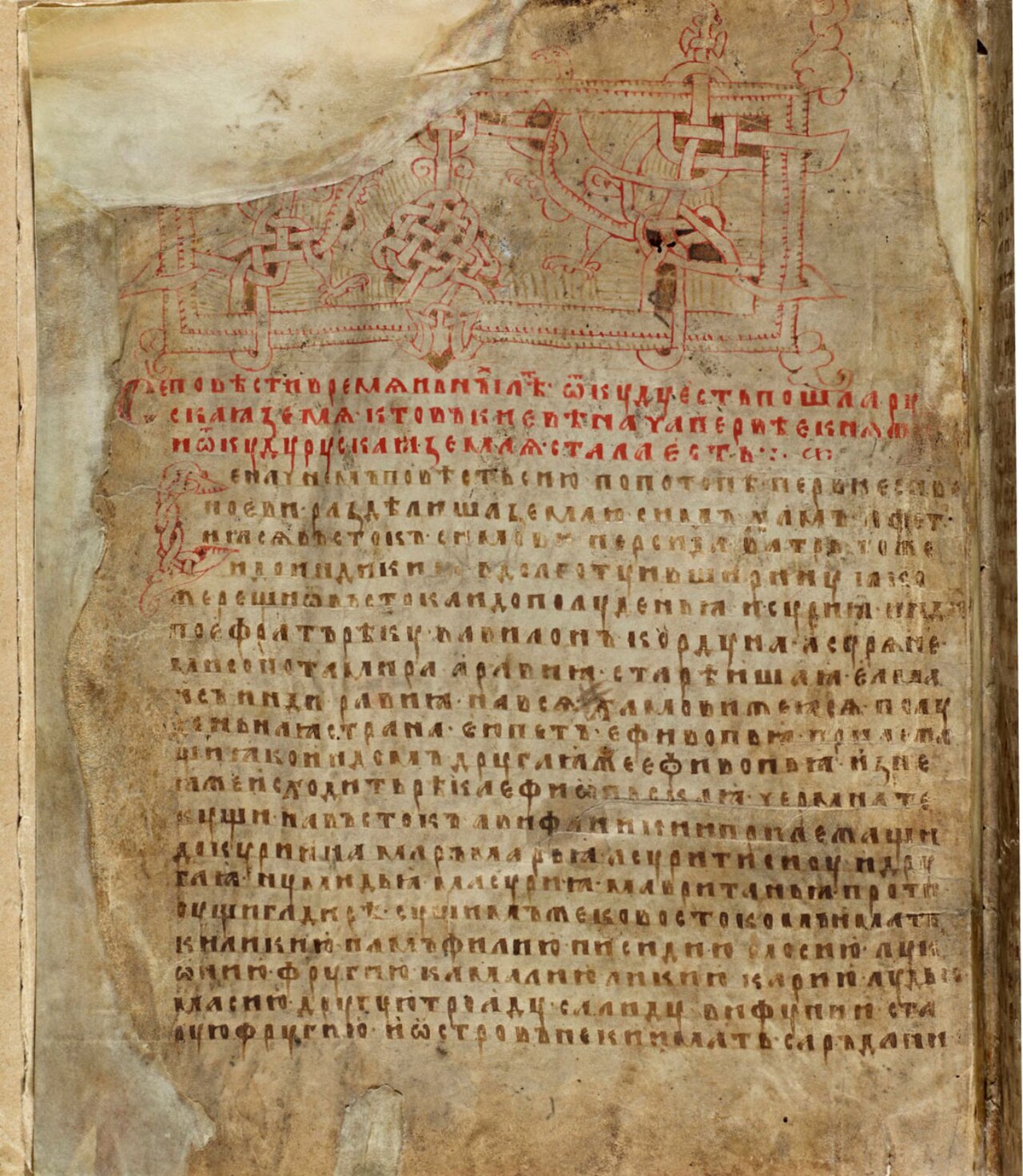 Document
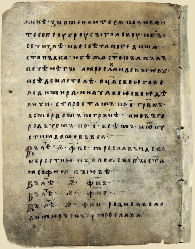
Secondary source
Laurentian Codex
Laurentius · 1377
 Painting
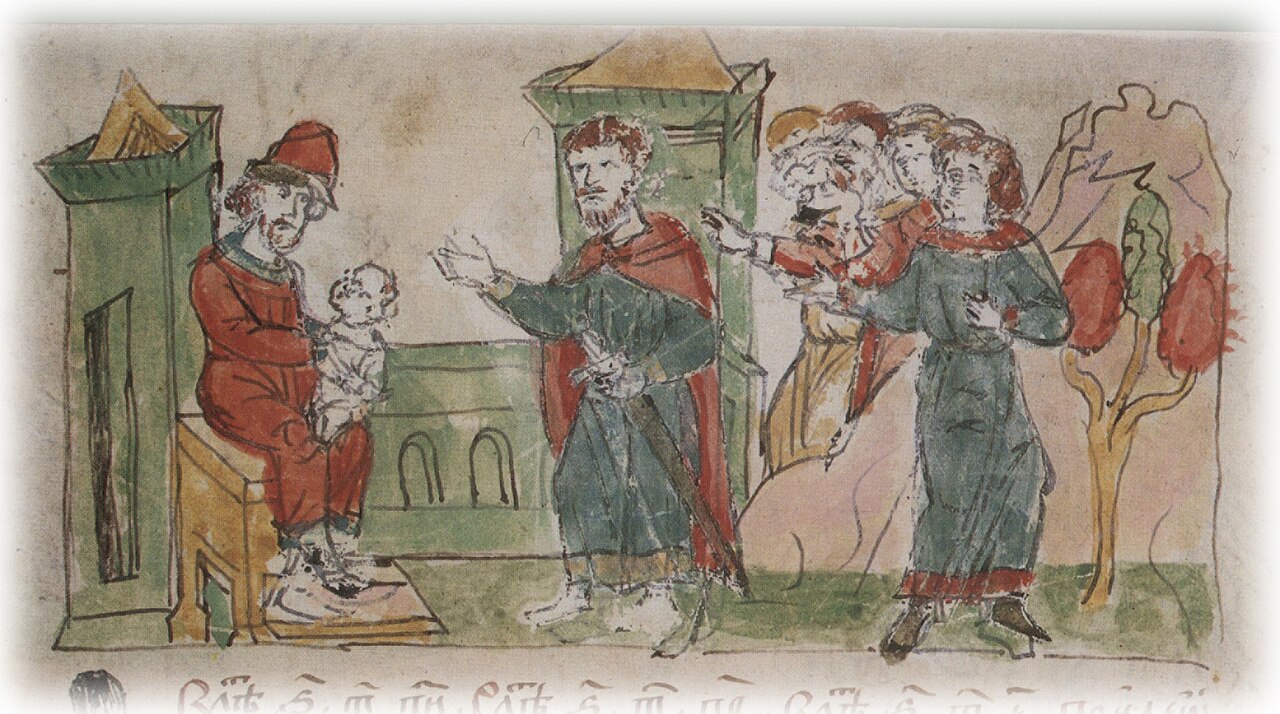
Secondary source
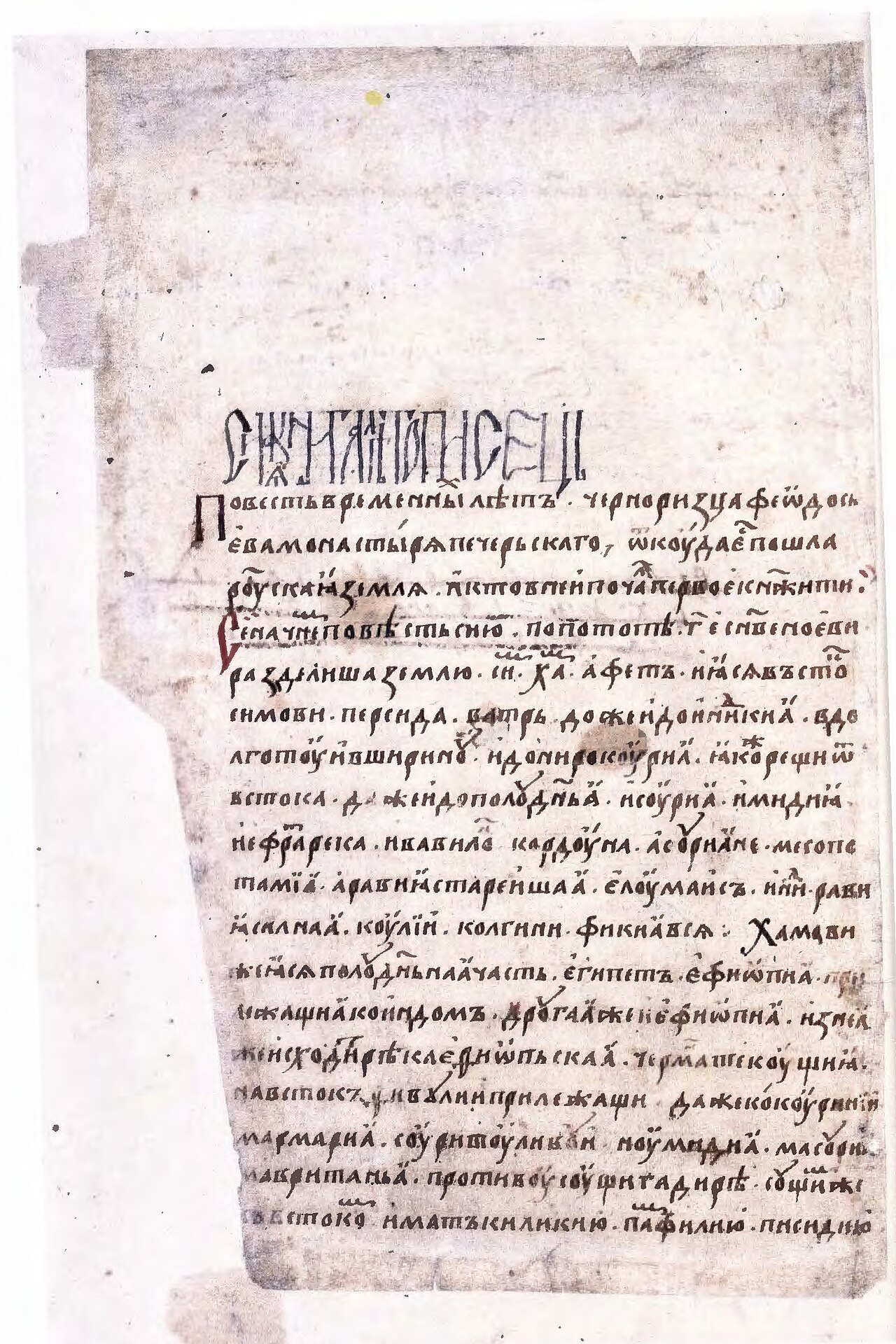
Radziwiłł Chronicle
c. 1500 (copy of a 13th-century original)
 Document
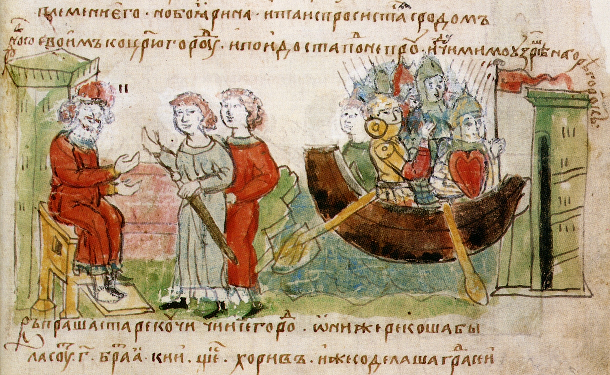
Secondary source
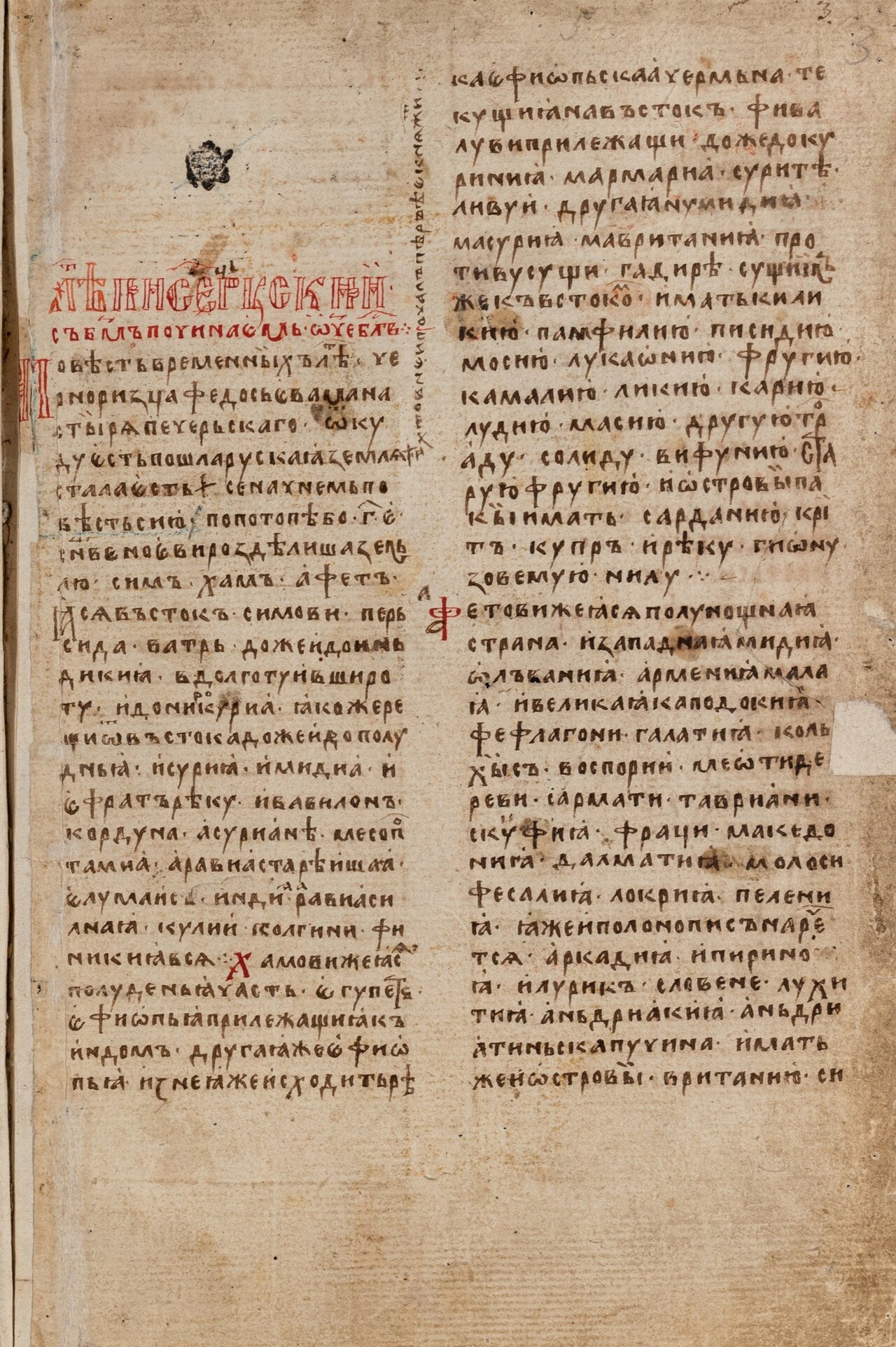
Hypatian Codex
c. 1425
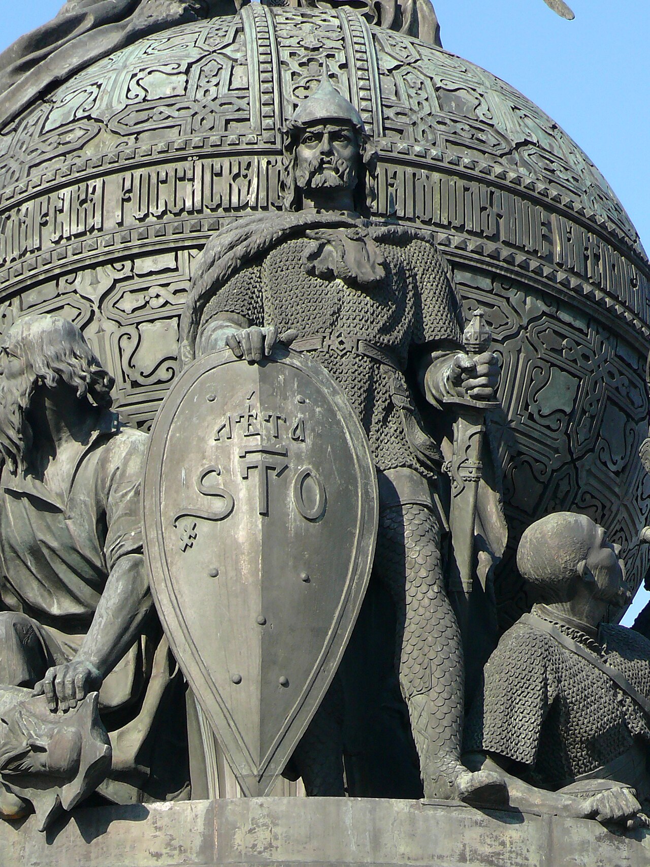 Sculpture
Secondary source
Rurik on the Millennium of Russia Monument
1862
Free account
Read every Rurik source
Sign up free →
Ready when you are
Start chatting with Rurik now.
20 messages free · No credit card · Available in 50+ languages.