


Primary sourceDocumentMarch 1922
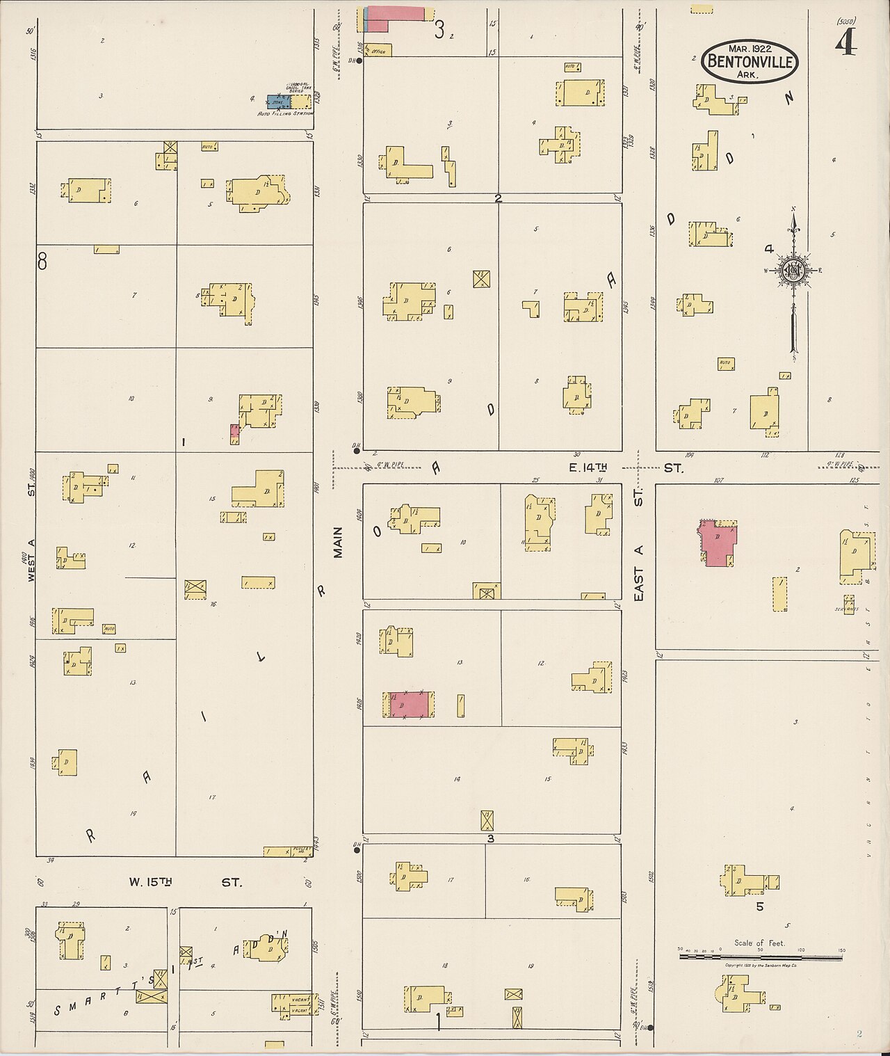
Sanborn Fire Insurance Map of Bentonville, Arkansas
Unknown · March 1922
A 1922 fire insurance map of Bentonville, Arkansas, the town where Sam Walton later built his first store.
A period map of Bentonville, the town where Walton would later found his retail business.
About this source
What it is
This is a sheet from a Sanborn fire insurance map of Bentonville, Arkansas, made in March 1922. It shows the town's street grid and building footprints, color-coded by construction material, with streets such as Main, East A, West A and E. 14th labeled.
Why it matters
Fire insurance maps like this were made to help insurance companies assess risk, but they also give historians a detailed snapshot of a town's layout and buildings at a point in time. This map shows Bentonville as it existed in the era before Sam Walton, who later opened his first store there, became an adult.
Look closer
- What can a map like this tell you about a town that a photograph cannot?
- Why would insurance companies need such detailed records of buildings?
- What might have changed in Bentonville between this 1922 map and the time Walton opened his store?
This document is part of the curated material that grounds the AI version of Sam Walton on Humy.ai — when students ask about related events, the AI can quote it and cite it.
More Sam Walton sources
Meet the AI Sam Walton → Artifact
Secondary source
Sam's Club
1983
 Photograph
Primary source
President Bush Presents the Medal of Freedom to Sam Walton
17 March 1992
 Photograph
Primary source
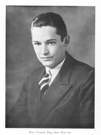
Sam Walton, 1936 Yearbook Portrait
Unknown · 1936
 Photograph
Primary source
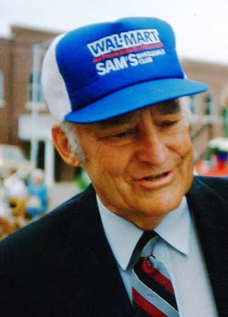
Portrait of Sam Walton
 Document
Primary source
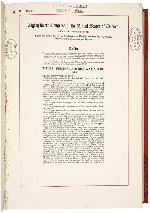
National Interstate and Defense Highways Act
29 June 1956
Ready when you are
Start chatting with Sam Walton now.
20 messages free · No credit card · Available in 50+ languages.