


Primary sourceDocument1906
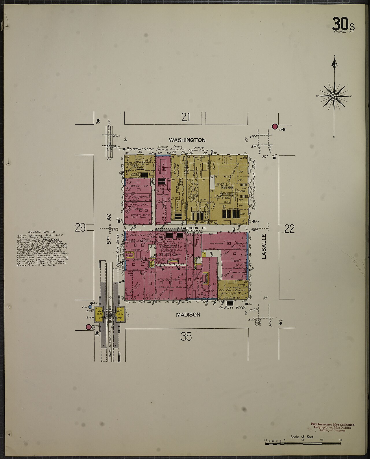
Sanborn Fire Insurance Map of Chicago, North and West Division, 1906
1906
A 1906 fire insurance map of Chicago's congested immigrant tenement districts, the kind of area Grace Abbott studied and wrote about.
Depicts the congested immigrant districts of Chicago that Abbott studied in her reform and writing work.
About this source
What it is
This is a fire insurance map from 1906 covering the North and West Division of Chicago, created by an unknown mapmaker as part of a bound volume showing the city's "congested district." It details building footprints, street names, and lot numbers block by block.
Why it matters
Maps like this one documented the crowded tenement neighborhoods where many immigrant families lived in early twentieth-century Chicago. These were the kinds of districts that Grace Abbott studied closely in her reform work, including her writings on immigrant communities around 1909. The map offers a technical, non-narrative record of the physical conditions reformers were responding to.
Look closer
- What can a map like this tell us about living conditions that a written description cannot?
- Why would an insurance company need such detailed maps of a crowded neighborhood?
- What does the map leave out about the people who actually lived in these buildings?
This document is part of the curated material that grounds the AI version of Grace Abbott on Humy.ai — when students ask about related events, the AI can quote it and cite it.
More Grace Abbott sources
Meet the AI Grace Abbott →Primary source
Twenty Years at Hull House
Jane Addams · 1910
 Book
Primary source
The Immigrant and the Community
Grace Abbott · 1917
 Document
Primary source
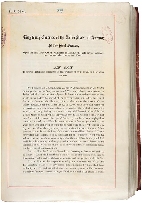
Keating-Owen Child Labor Act
1 September 1916
Primary source
Democracy and Social Ethics
Jane Addams · 1902
 Document
Primary source
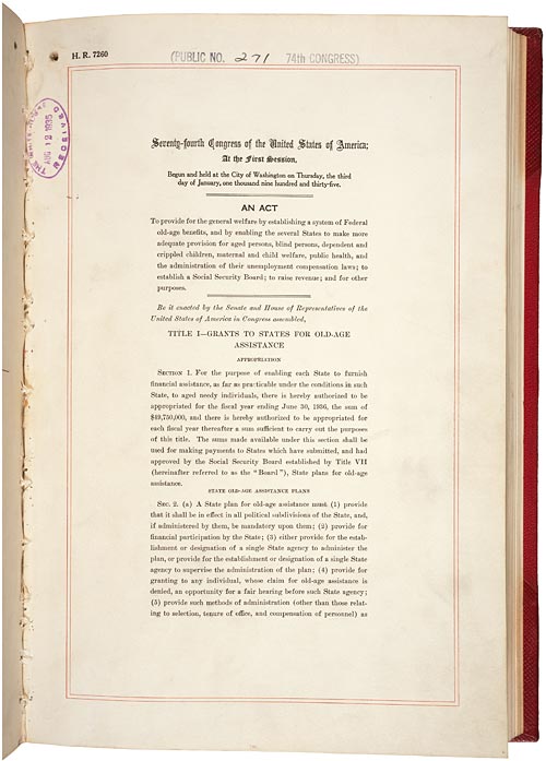
Social Security Act
14 August 1935
Ready when you are
Start chatting with Grace Abbott now.
20 messages free · No credit card · Available in 50+ languages.