


Secondary sourceDocument1649
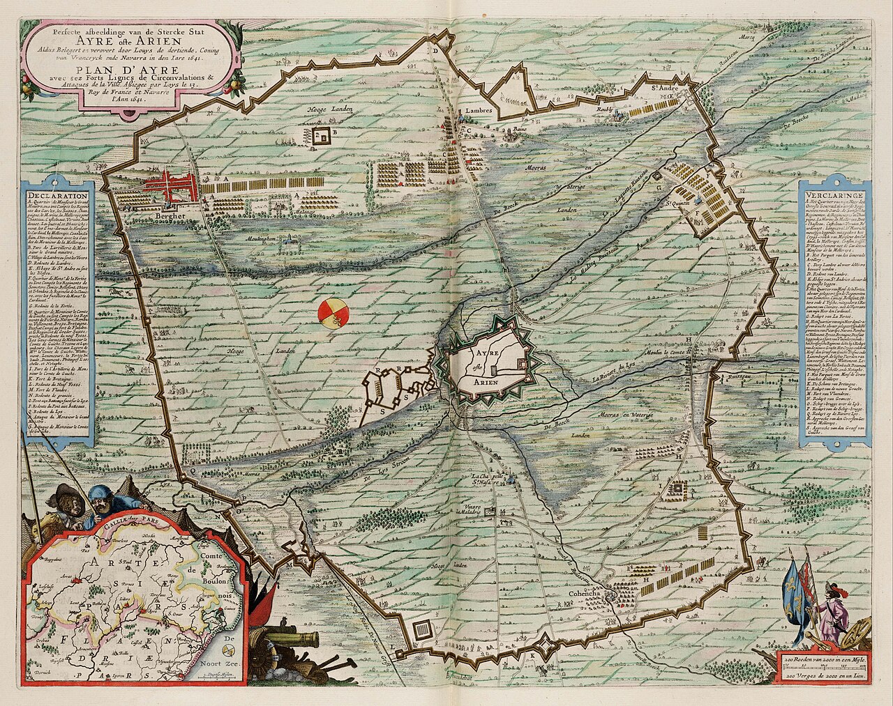
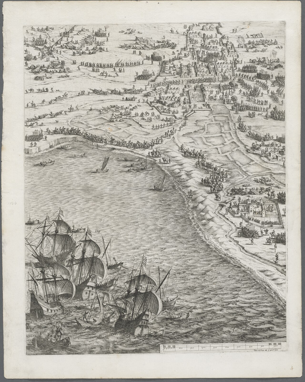
Siege and Conquest of Aire by Louis XIII in 1641
Joan Blaeu · 1649
A hand-coloured engraved siege plan of the fortress town of Aire, made by Joan Blaeu, showing one of Louis XIII's final campaigns against Spain.
The map depicts a siege campaign led by Louis XIII against Spain, showing his role as a wartime commander.
Free Humy account · No credit card · 120,912 sources to read
About this source
What it is
This is a hand-coloured, copper-engraved town plan made by the Dutch cartographer Joan Blaeu in 1649. It shows the fortress of Aire, with its fortifications, siege lines and troop formations, plus a decorative title cartouche and a small regional map inset.
Why it matters
The map records one of the last campaigns of Louis XIII's long war against Spain in the Artois region. Maps like this were made for governments and the public to follow the progress of royal armies and to show the king's military power. It reveals how siege warfare was documented and publicised in the 17th century.
Look closer
- What details does the mapmaker include to show military strength?
- Why might a mapmaker produce this years after the event took place?
- What does the map leave out about the people living in or fighting for the town?
This document is part of the curated material that grounds the AI version of Louis XIII on Humy.ai — when students ask about related events, the AI can quote it and cite it.
More Louis XIII sources
Browse all 89 → Diary entry
Primary source
Journal of Jean Héroard
Jean Héroard · 1601–1628
 Letter
Primary source
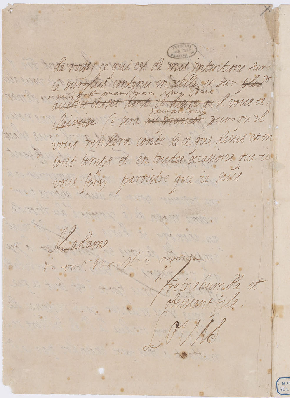
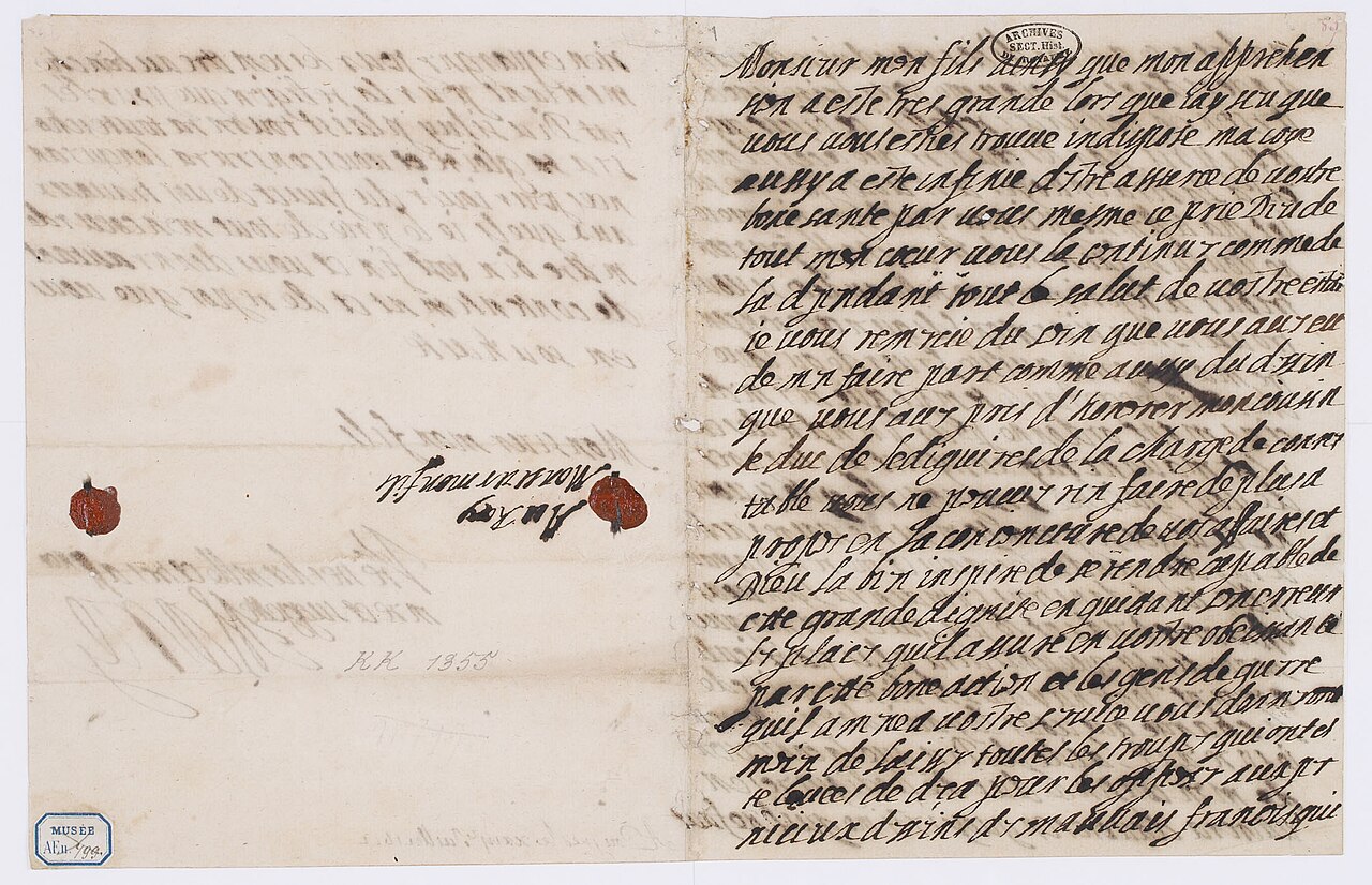
Letter of Louis XIII to Marie de' Medici
Louis XIII of France
 Painting
Primary source
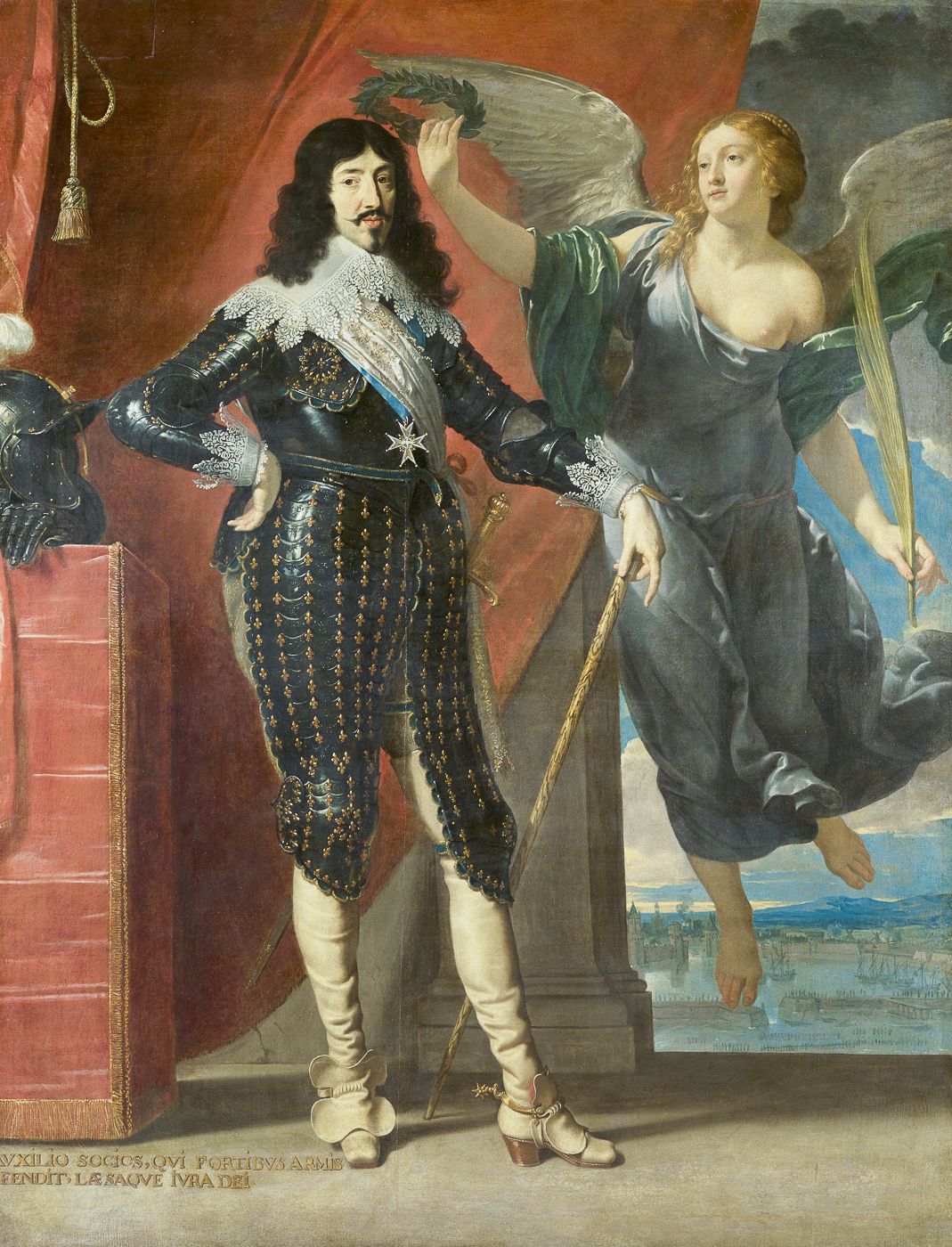
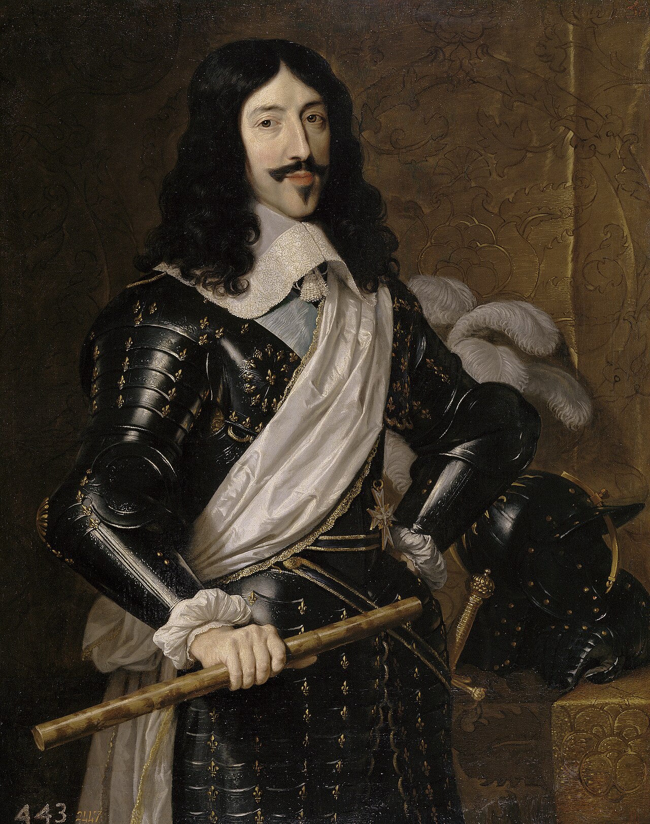
Louis XIII Crowned by Victory
Philippe de Champaigne · 1635
 Artifact
Primary source
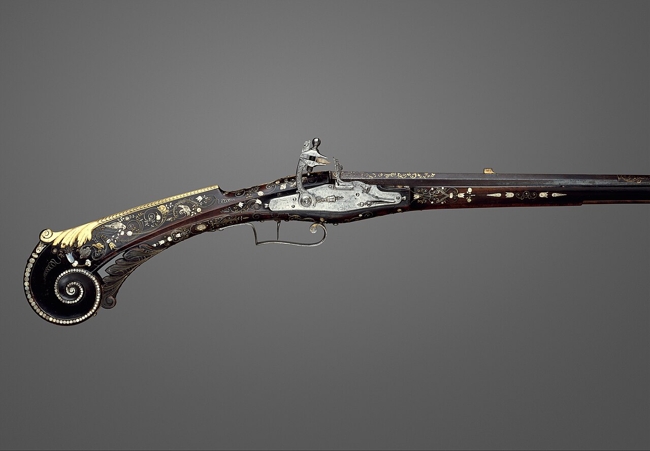
Flintlock Gun of Louis XIII
1620
Free account
Read every Louis XIII source
Sign up free →
Ready when you are
Start chatting with Louis XIII now.
20 messages free · No credit card · Available in 50+ languages.