


Primary sourceDocument1629
Siege of Alès 1629
Jean de Beins · 1629
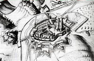
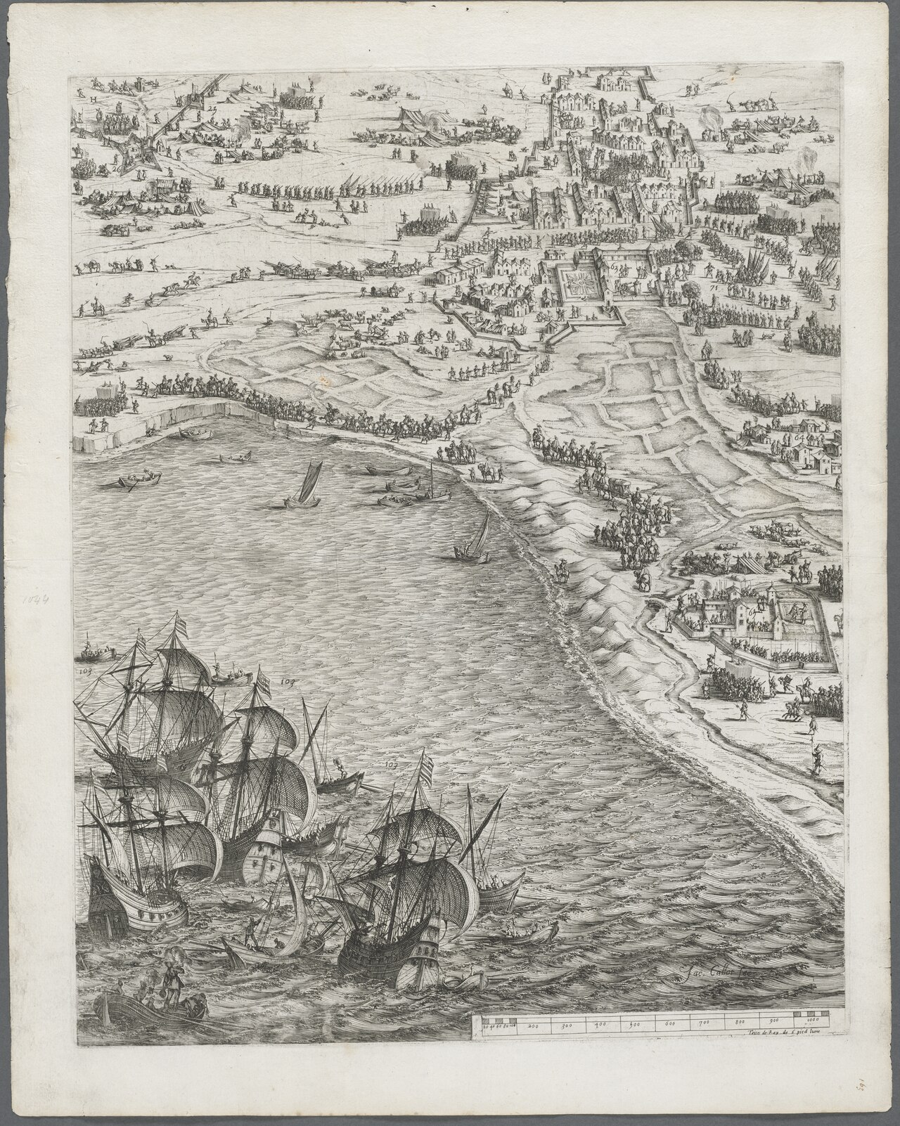
A contemporary map by royal engineer Jean de Beins showing the siege that led to the Peace of Alès under Louis XIII.
This map records a siege carried out under Louis XIII's authority, ending in the Peace of Alès.
About this source
What it is
This is a map made by Jean de Beins, a royal engineer, depicting the siege of Alès in 1629. It shows the military positions during the campaign that ended in the Peace of Alès.
Why it matters
The Peace of Alès ended a phase of the Huguenot wars during Louis XIII's reign, reshaping relations between the crown and Protestant subjects in France. Maps like this were tools of royal administration, used to plan and record military campaigns carried out in the king's name.
Look closer
- Why would a king's engineers need detailed maps of a siege?
- What can a map tell us that a painting or written account cannot?
- Who was this map likely made for, and what might it leave out?
This document is part of the curated material that grounds the AI version of Louis XIII on Humy.ai — when students ask about related events, the AI can quote it and cite it.
More Louis XIII sources
Browse all 89 → Diary entry
Primary source
Journal of Jean Héroard
Jean Héroard · 1601–1628
 Letter
Primary source
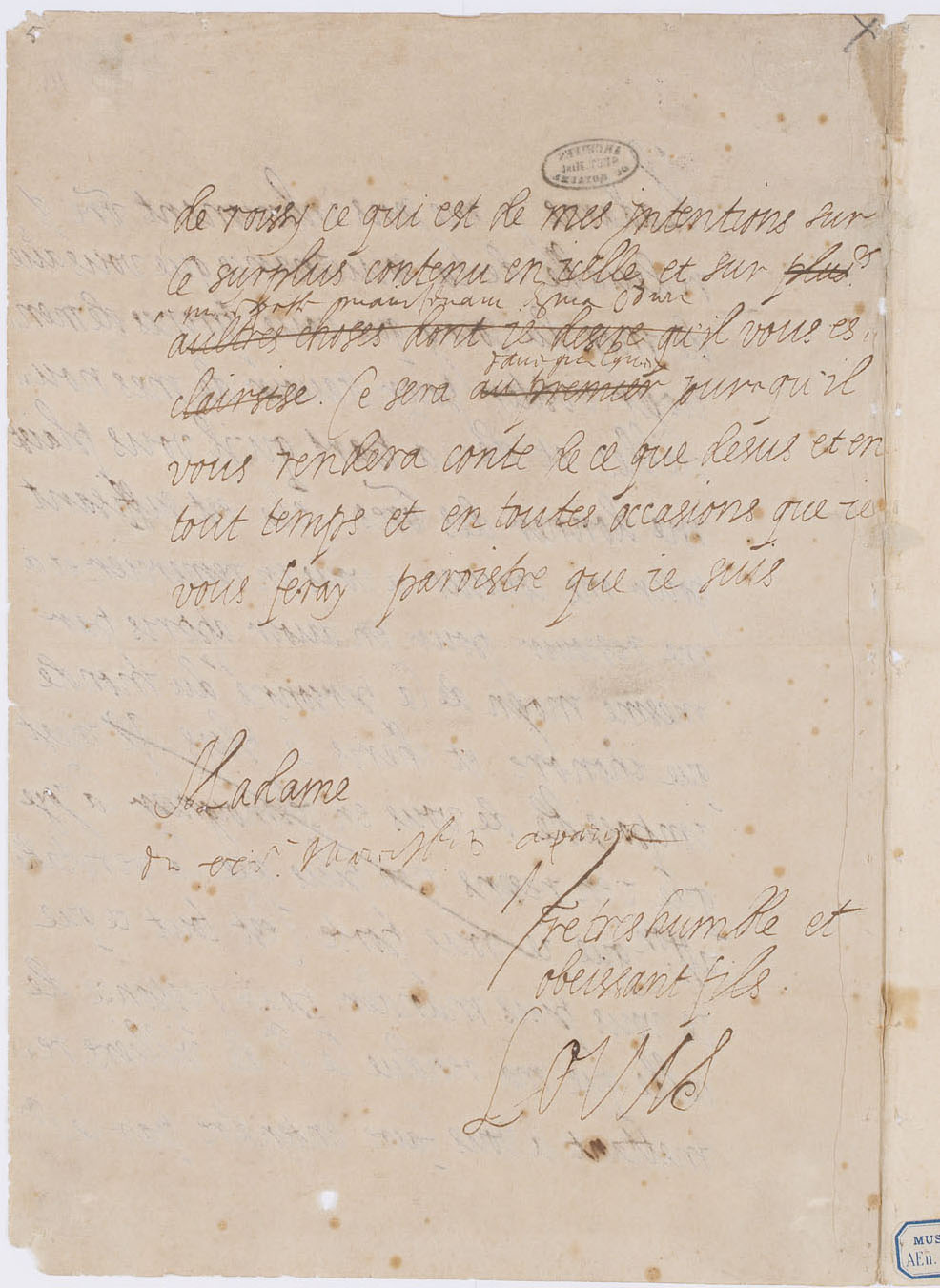
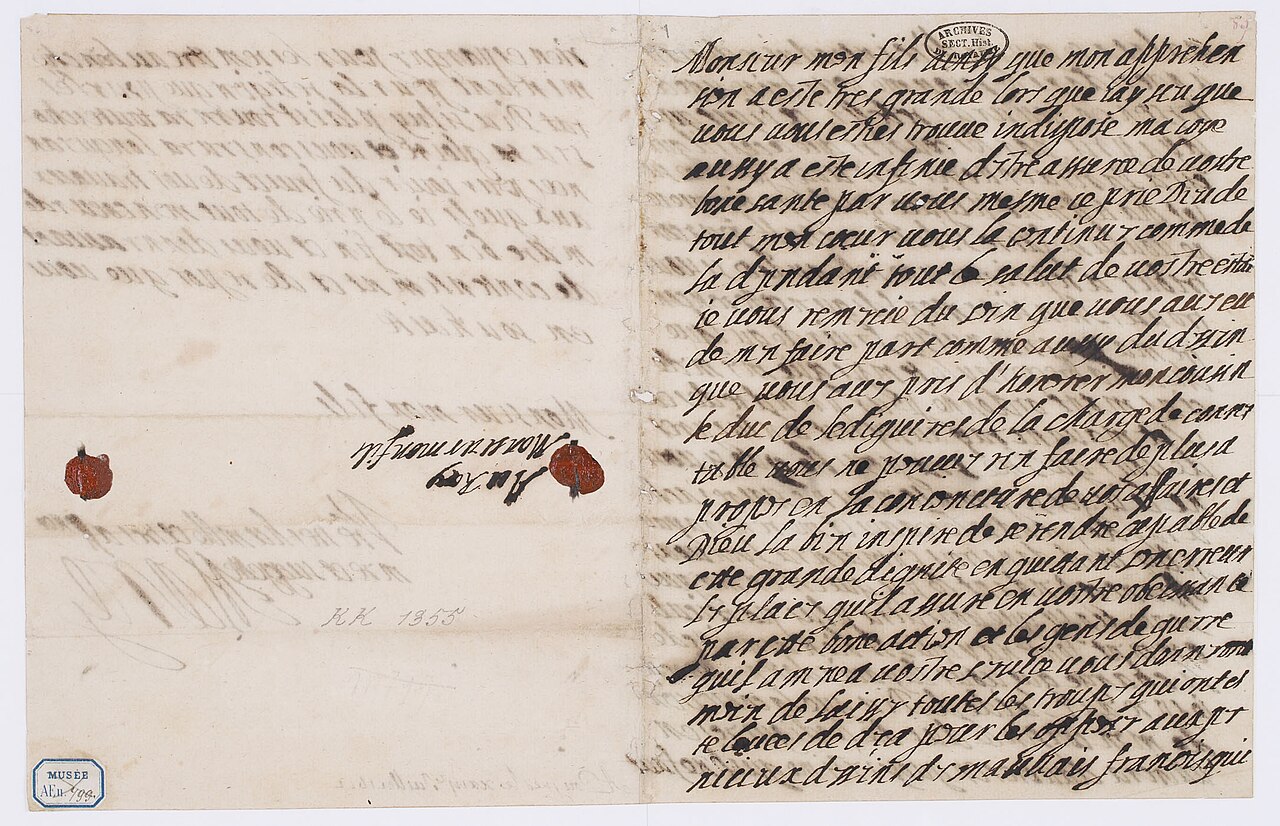
Letter of Louis XIII to Marie de' Medici
Louis XIII of France
 Painting
Primary source
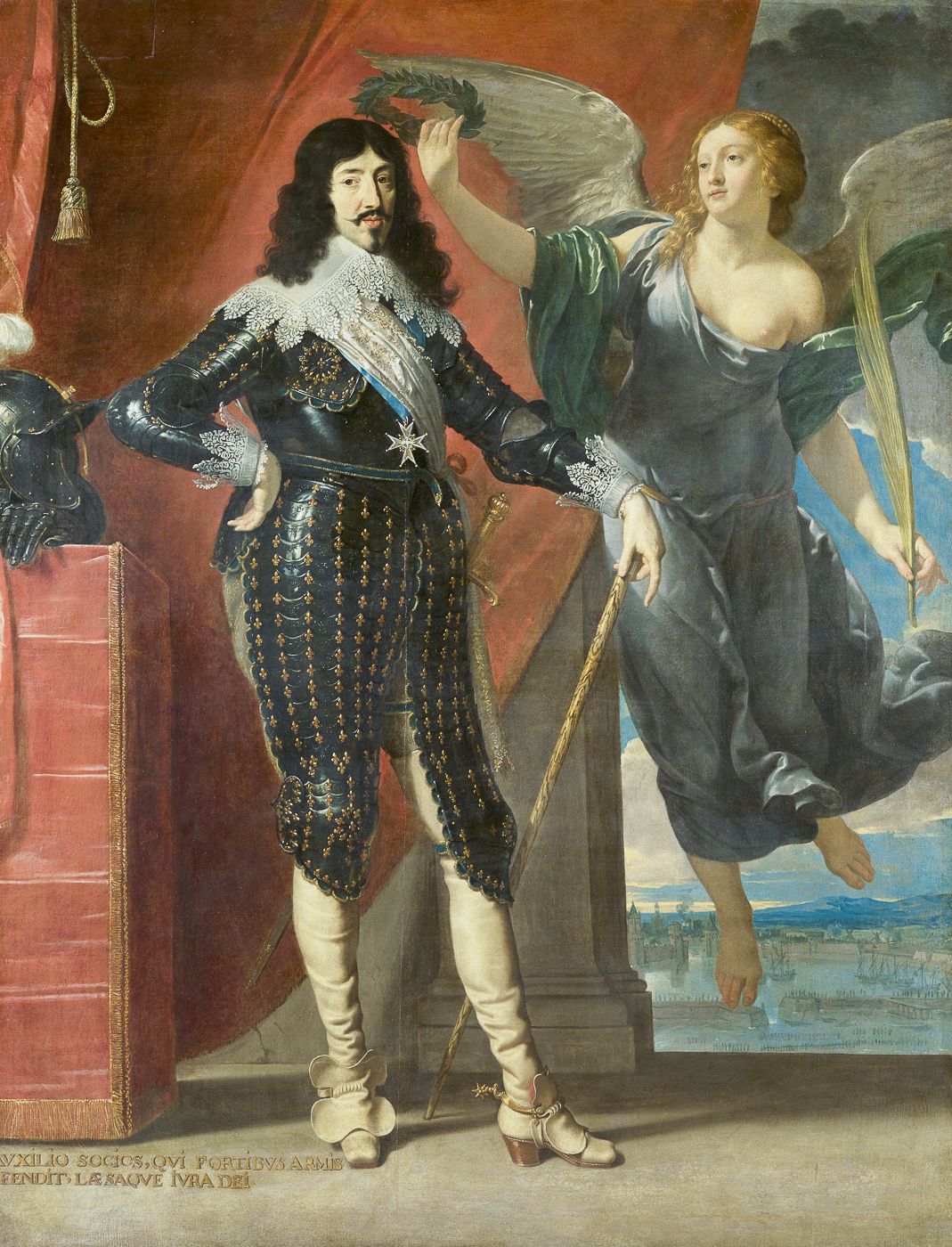
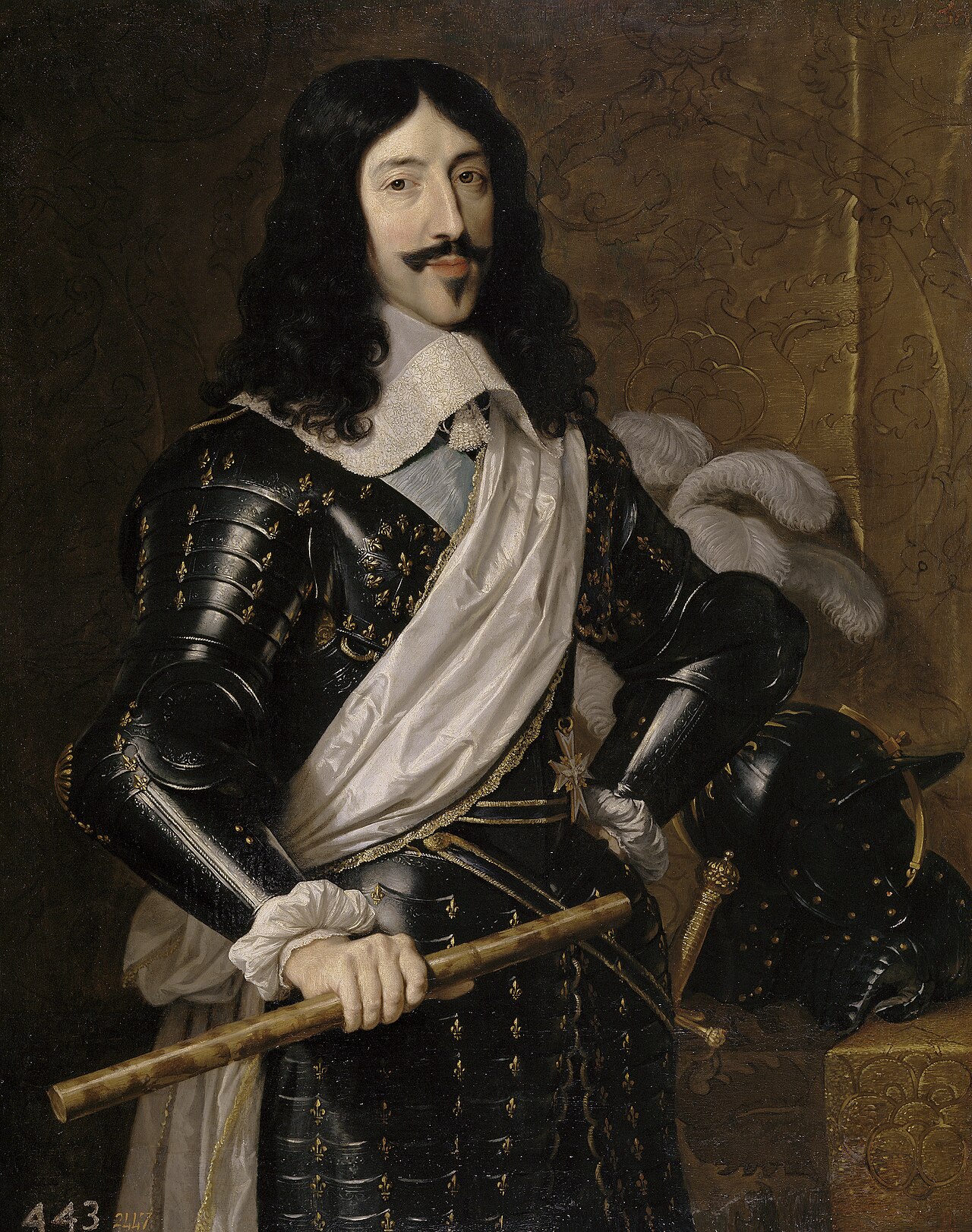
Louis XIII Crowned by Victory
Philippe de Champaigne · 1635
 Artifact
Primary source
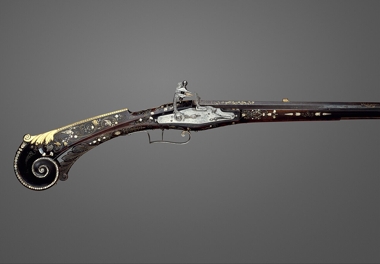
Flintlock Gun of Louis XIII
1620
Free account
Read every Louis XIII source
Sign up free →
Ready when you are
Start chatting with Louis XIII now.
20 messages free · No credit card · Available in 50+ languages.