


Secondary sourceDocument1890
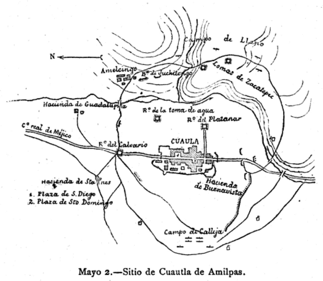
Siege of Cuautla de Amilpas, 2 May 1812
1890
A map of the 1812 siege of Cuautla, the town Morelos directed during the insurgent campaign. It was made much later than the events it shows.
Shows the geography of the 1812 siege of Cuautla that Morelos directed, though it was made long after the event.
Free Humy account · No credit card · 120,912 sources to read
About this source
What it is
This is a map of the siege of Cuautla de Amilpas, dated 2 May 1812. The Wikimedia Commons record lists it as a map, with no named author. The curator dates it to 1890, so it was made decades after the siege.
Why it matters
José María Morelos directed the siege of Cuautla, a key episode in the Mexican War of Independence. A map can show the town, the positions and the ground over which the fighting took place. Because it was drawn later, it reflects the understanding of a later maker rather than an eyewitness view of the events.
Look closer
- What places, roads or defensive positions does the map show, and how are they labeled?
- Why might a map made in 1890 have been drawn, and who would have wanted to see the siege this way?
- What does the map leave out, such as the people who lived in Cuautla or the experience of the soldiers?
This document is part of the curated material that grounds the AI version of José María Morelos on Humy.ai — when students ask about related events, the AI can quote it and cite it.
More José María Morelos sources
Browse all 89 →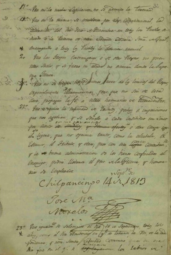 Document
Primary source
Sentimientos de la Nación
José María Morelos y Pavón · 1813
 Document
Primary source
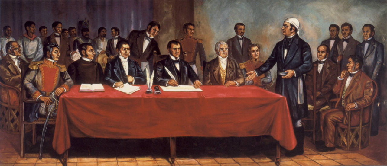
Solemn Act of the Declaration of Independence of Northern America
Congress of Anáhuac · 6 November 1813
 Painting
Secondary source
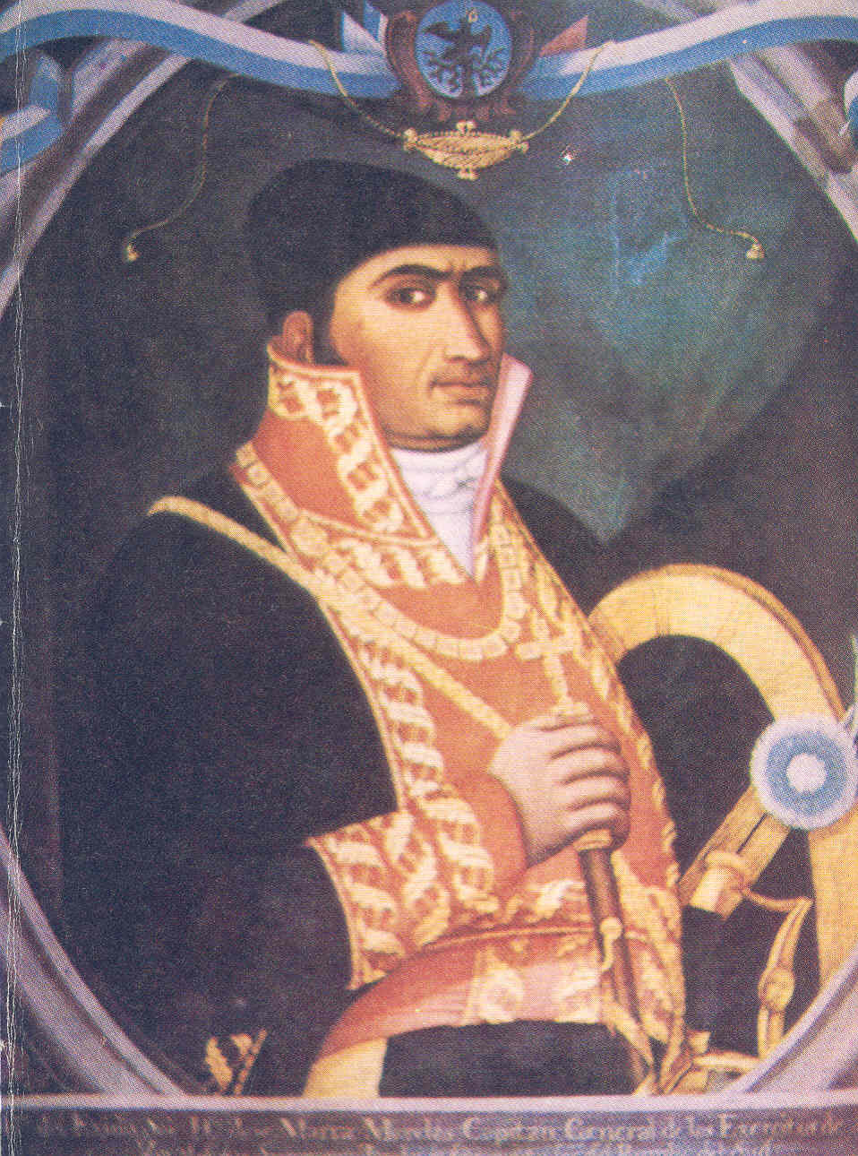
Portrait of José María Morelos
 Document
Primary source
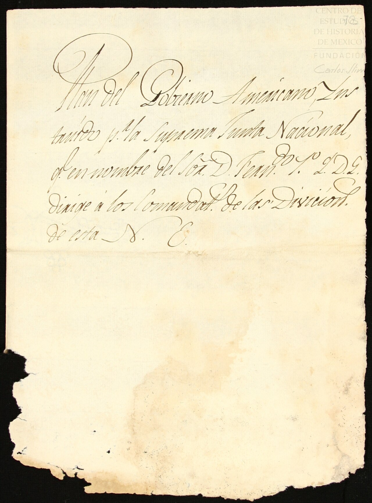
Plan del Gobierno Americano
José María Morelos y Pavón (attributed) · 16 November 1810
Free account
Read every José María Morelos source
Sign up free →
Ready when you are
Start chatting with José María Morelos now.
20 messages free · No credit card · Available in 50+ languages.