


Secondary sourceDocumentbetween 1928 and 1942
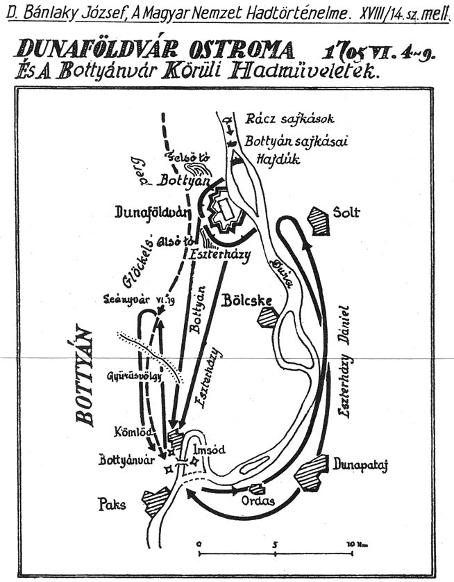
Siege of Dunaföldvár, 4–9 June 1705
Bánlaky József · between 1928 and 1942
A black-and-white battle map by historian József Bánlaky showing the siege of Dunaföldvár in June 1705, during Rákóczi's war. It is a later reconstruction, not a field map.
Shows one siege from the war that Rákóczi led, as a later military historian reconstructed its movements.
Free Humy account · No credit card · 120,912 sources to read
About this source
What it is
This is a black-and-white battle map titled 'Dunaföldvár ostroma 1705 VI. 4-9'. It shows Hungarian place names, the Danube, arrows for troop movements, labels for Bottyán and Dunapataj, and a scale in kilometres. József Bánlaky, a military historian, made it between 1928 and 1942, long after the siege.
Why it matters
The siege took place during the uprising led by Francis II Rákóczi against the Habsburgs. Maps like this one let students follow how the armies moved along the river. The map was drawn by a historian, so it presents one interpretation of the events. Bottyán, named on the map, was a commander who fought on the kuruc side in the same war.
Look closer
- Where are the arrows pointing, and what do they suggest about how each side moved?
- Why would a map drawn decades later be useful for understanding a battle, and what might it simplify?
- Which people or places named on the map do you need to research to understand their role?
This document is part of the curated material that grounds the AI version of Francis II Rákóczi on Humy.ai — when students ask about related events, the AI can quote it and cite it.
More Francis II Rákóczi sources
Browse all 90 →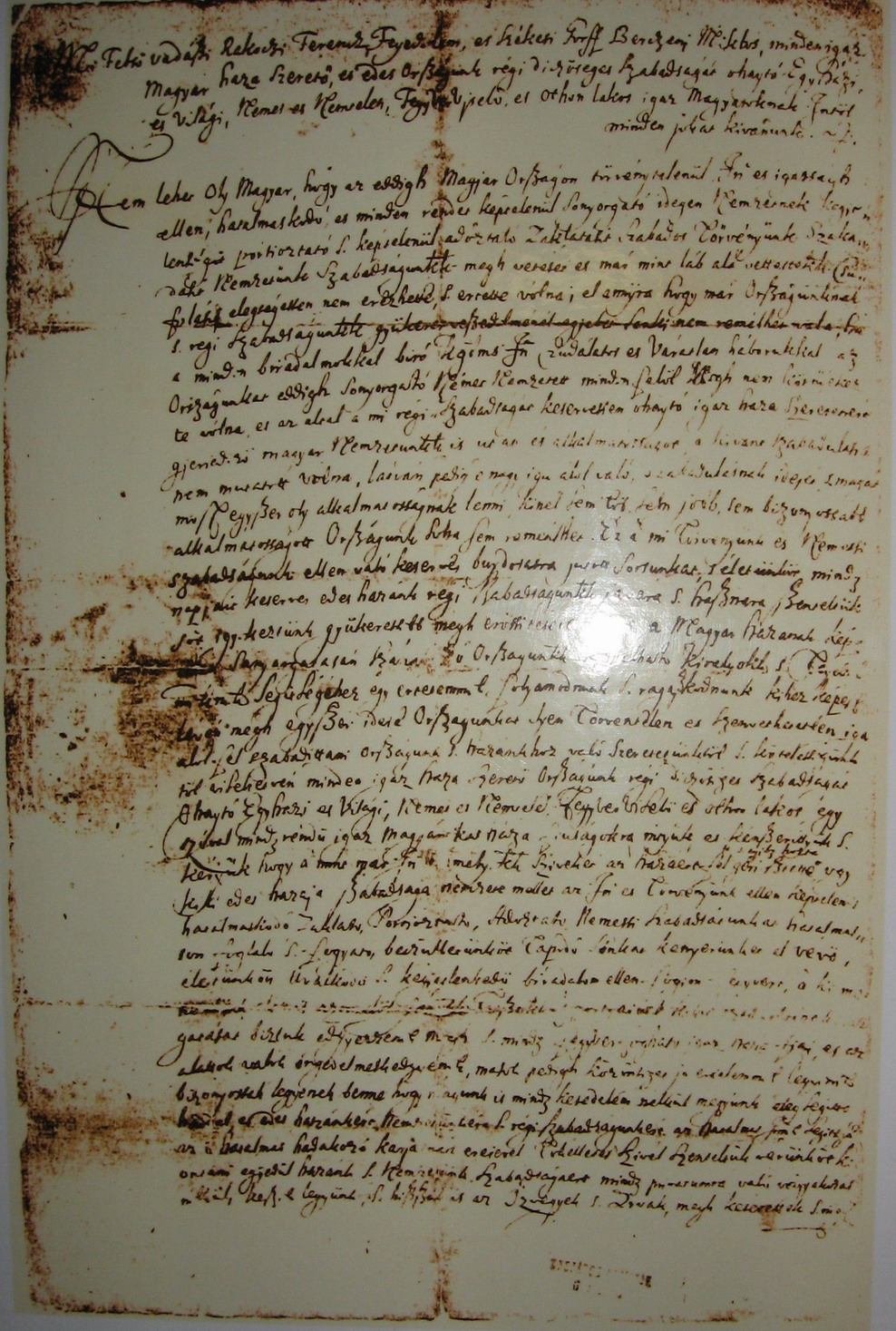 Document
Primary source
Manifesto of Berezhany
Francis II Rákóczi · 1703
 Painting
Primary source
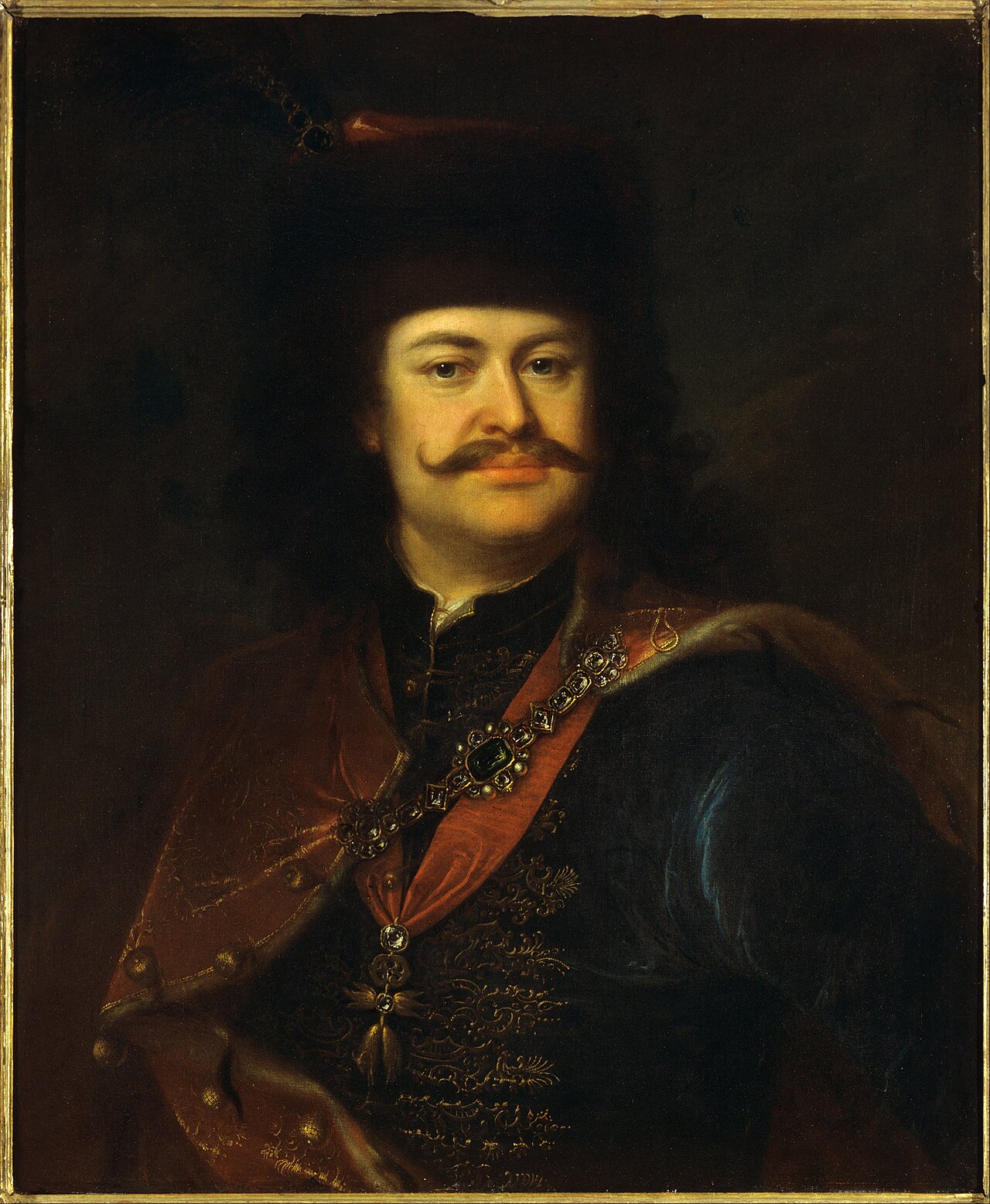
Portrait of Prince Ferenc Rákóczi II
Ádám Mányoki · 1712
 Newspaper article
Primary source
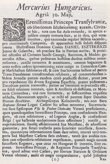
Mercurius Hungaricus
1705
 Artifact
Primary source
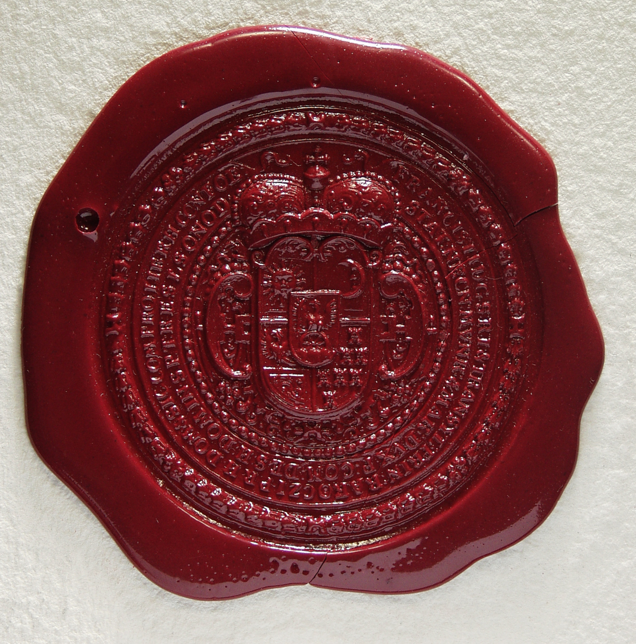
Great Seal of Francis II Rákóczi
Free account
Read every Francis II Rákóczi source
Sign up free →
Ready when you are
Start chatting with Francis II Rákóczi now.
20 messages free · No credit card · Available in 50+ languages.