


Primary sourceDocument1627
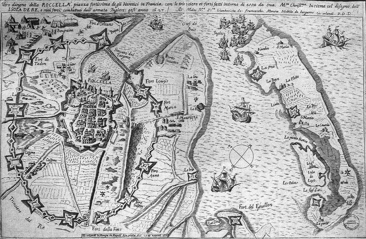
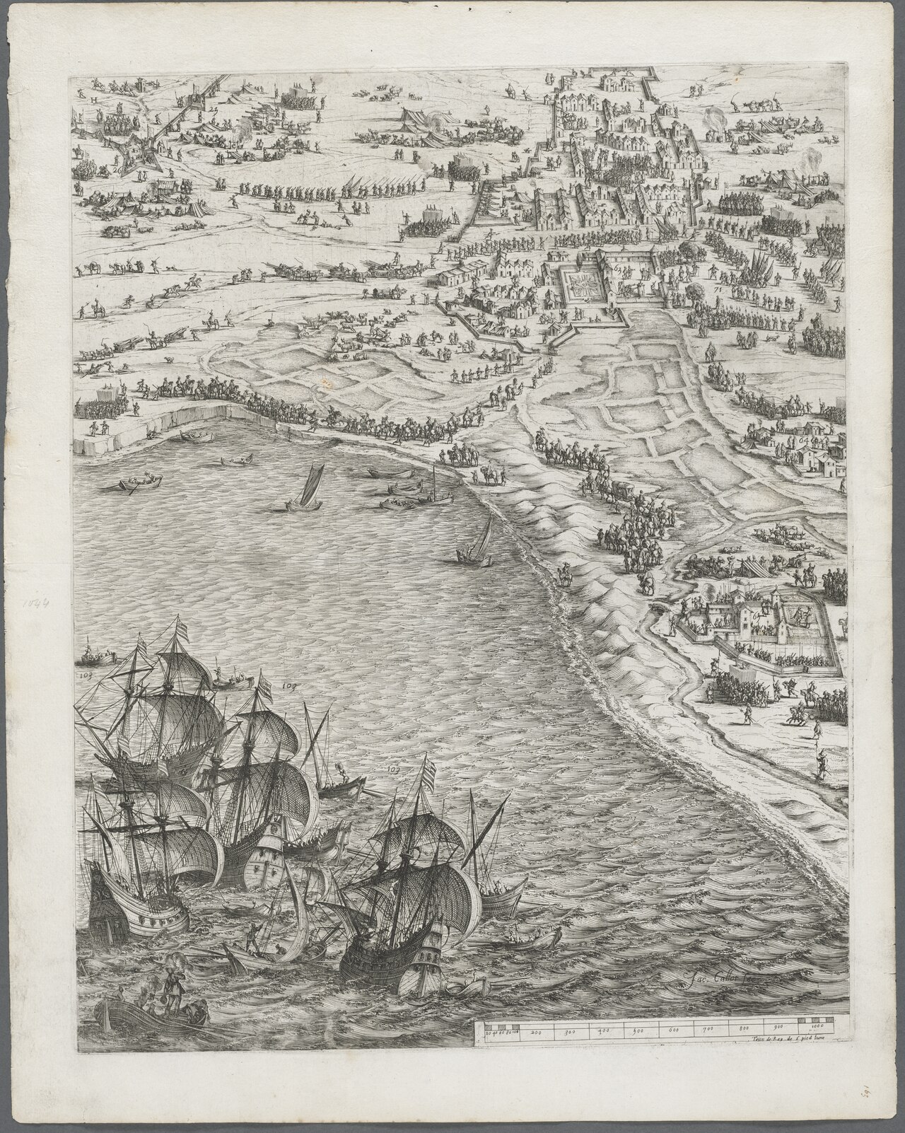
Siege of La Rochelle by Orlandi
Orlandi · 1627
An engraved map titled 'Vera disegno della Rocella' by Orlandi, dated 1627, showing La Rochelle and the fleets during the royal siege. It is linked to the campaign of Louis XIII.
Depicts the royal siege of La Rochelle, a campaign of Louis XIII, so it shows the military action taken in his reign.
Free Humy account · No credit card · 120,912 sources to read
About this source
What it is
This is a black and white engraved map titled Vera disegno della Rocella, dated 1627 and attributed to Orlandi. It shows the fortified city of La Rochelle with its walls, forts and harbor, and English fleet ships at sea. It has an inscription and a compass rose, and its labels for forts and locations are in Italian. The file is held on Wikimedia Commons.
Why it matters
The siege of La Rochelle in 1627 and 1628 was a major royal campaign under Louis XIII. The city was a Protestant stronghold, and the map shows the English fleet that came to help it. Maps like this one gave people at the time a picture of places they might never see. This map shows how the royal side wanted the siege understood, through the city's defenses and the ships around it.
Look closer
- Which features of the city and the harbor are labeled, and why might those labels matter?
- Why does the map show English ships, and what does that suggest about the conflict?
- What does a map like this leave out about the people who lived inside the city?
This document is part of the curated material that grounds the AI version of Louis XIII on Humy.ai — when students ask about related events, the AI can quote it and cite it.
More Louis XIII sources
Browse all 89 → Diary entry
Primary source
Journal of Jean Héroard
Jean Héroard · 1601–1628
 Letter
Primary source
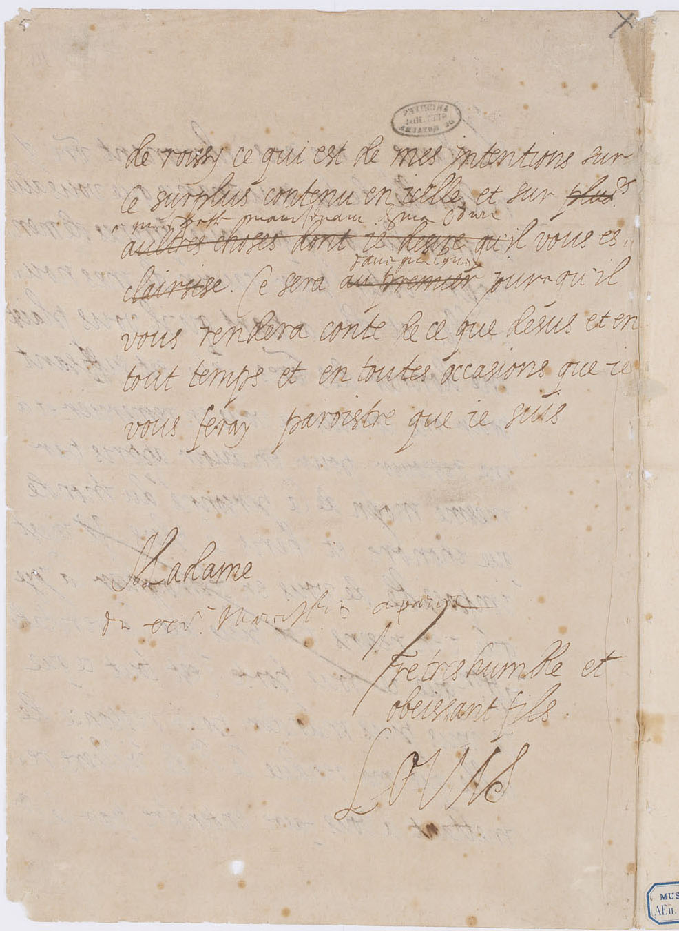
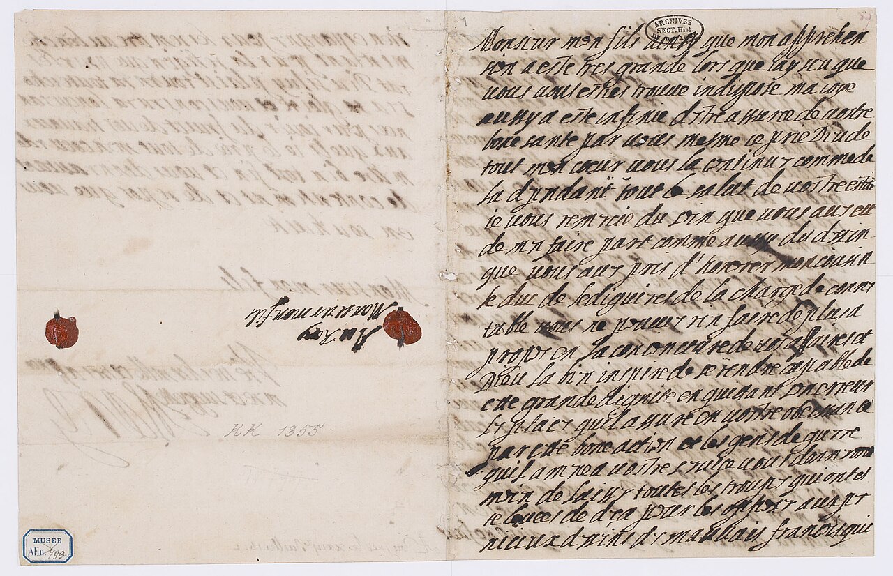
Letter of Louis XIII to Marie de' Medici
Louis XIII of France
 Painting
Primary source
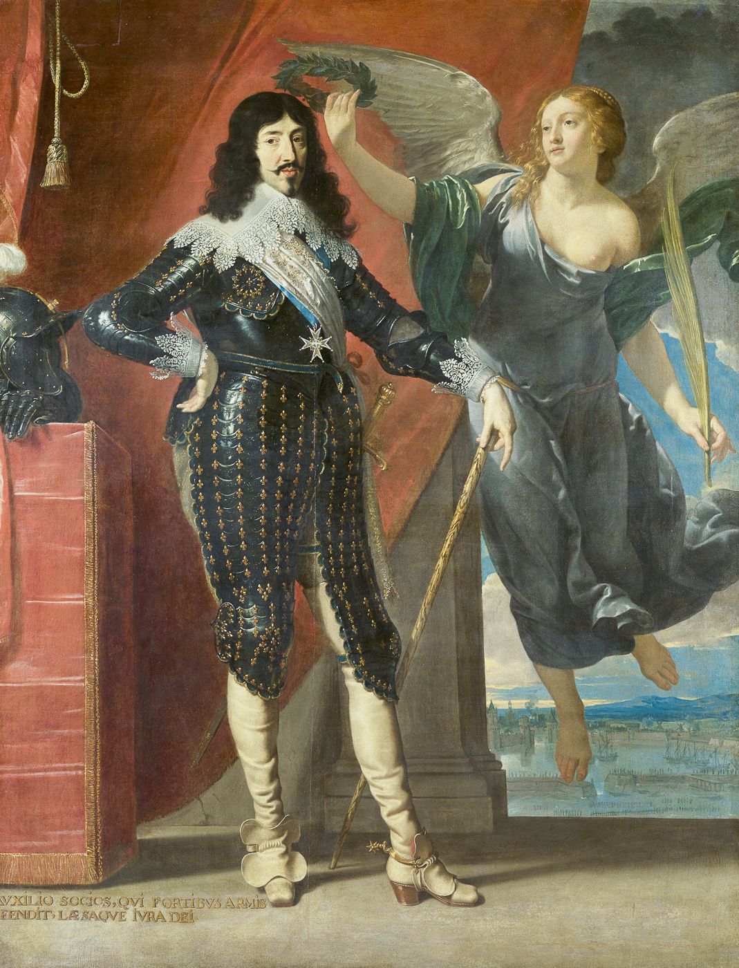
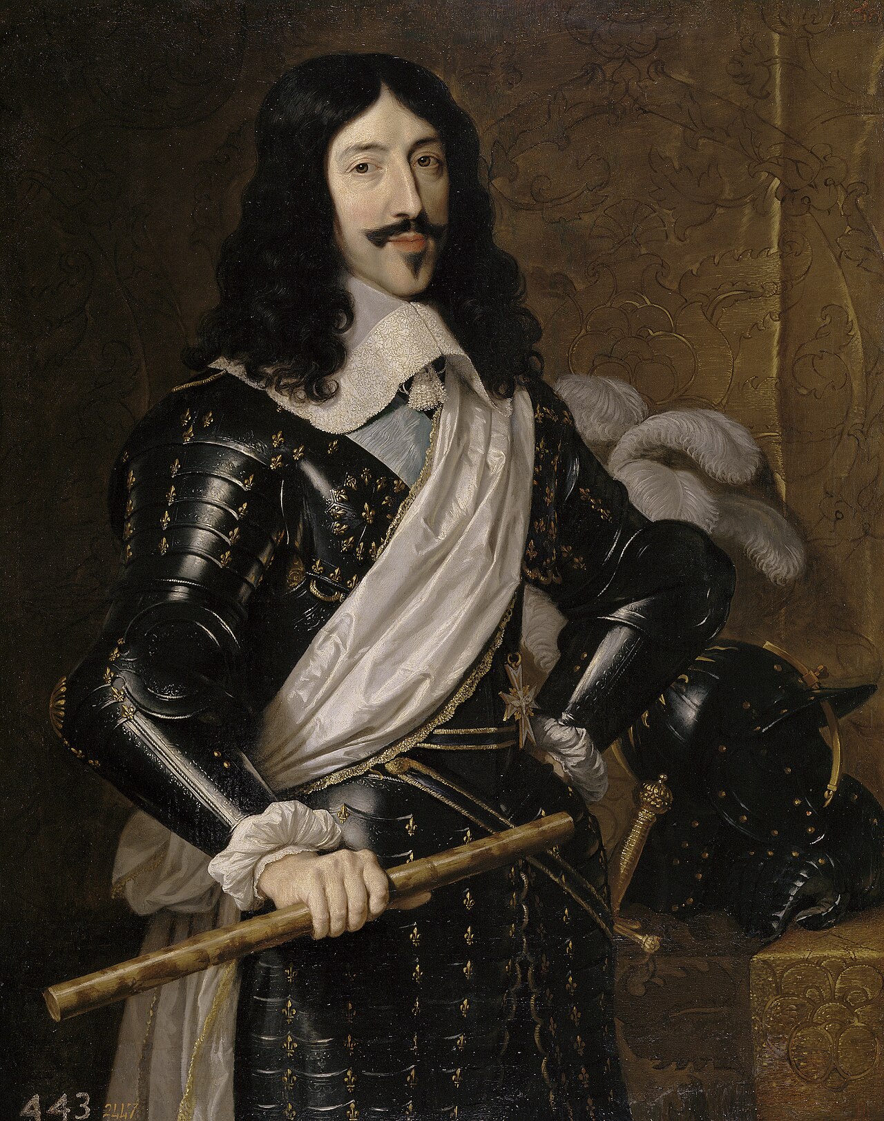
Louis XIII Crowned by Victory
Philippe de Champaigne · 1635
 Artifact
Primary source
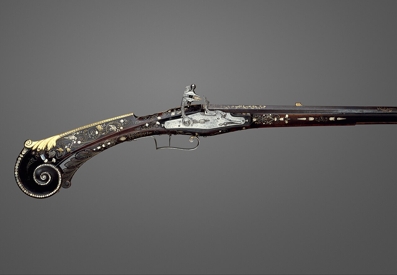
Flintlock Gun of Louis XIII
1620
Free account
Read every Louis XIII source
Sign up free →
Ready when you are
Start chatting with Louis XIII now.
20 messages free · No credit card · Available in 50+ languages.