


Primary sourceDocument
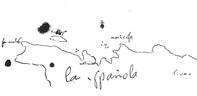
Sketch Map of Hispaniola by Columbus
Cristóbal Colón
The only surviving map attributed to Columbus's own hand, sketching the coast of Hispaniola and the fort of La Navidad.
The only surviving map drawn by Columbus himself, showing how he recorded the coast of Hispaniola and the fort of La Navidad.
About this source
What it is
This hand-drawn sketch map in black ink shows the island of Hispaniola, including the fort of Natividad and the region of Civao. It is attributed to Christopher Columbus himself.
Why it matters
This is the only map that survives in Columbus's own hand, making it a rare direct trace of how he recorded and understood the lands he encountered. The labelling of Civao, which reminded Columbus of Japan (then called Cipango), reveals how he tried to fit new discoveries into his existing ideas about Asia.
Look closer
- Why might Columbus have compared this region to Japan?
- What do the simple ink marks and labels tell you about how early explorers recorded new lands?
- What is left out of this sketch that a modern map would include?
This document is part of the curated material that grounds the AI version of Christopher Columbus on Humy.ai — when students ask about related events, the AI can quote it and cite it.
More Christopher Columbus sources
Meet the AI Christopher Columbus →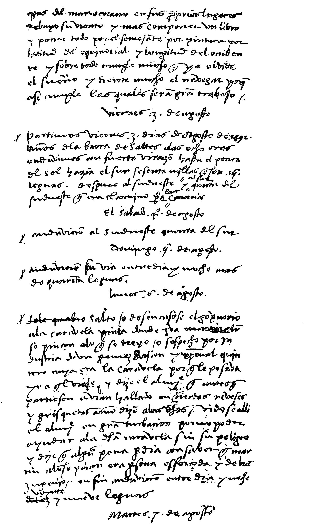 Diary entry
Primary source
Christopher Columbus' Journal
Christopher Columbus · 3 August 1492 – 15 March 1493
 Painting
Secondary source
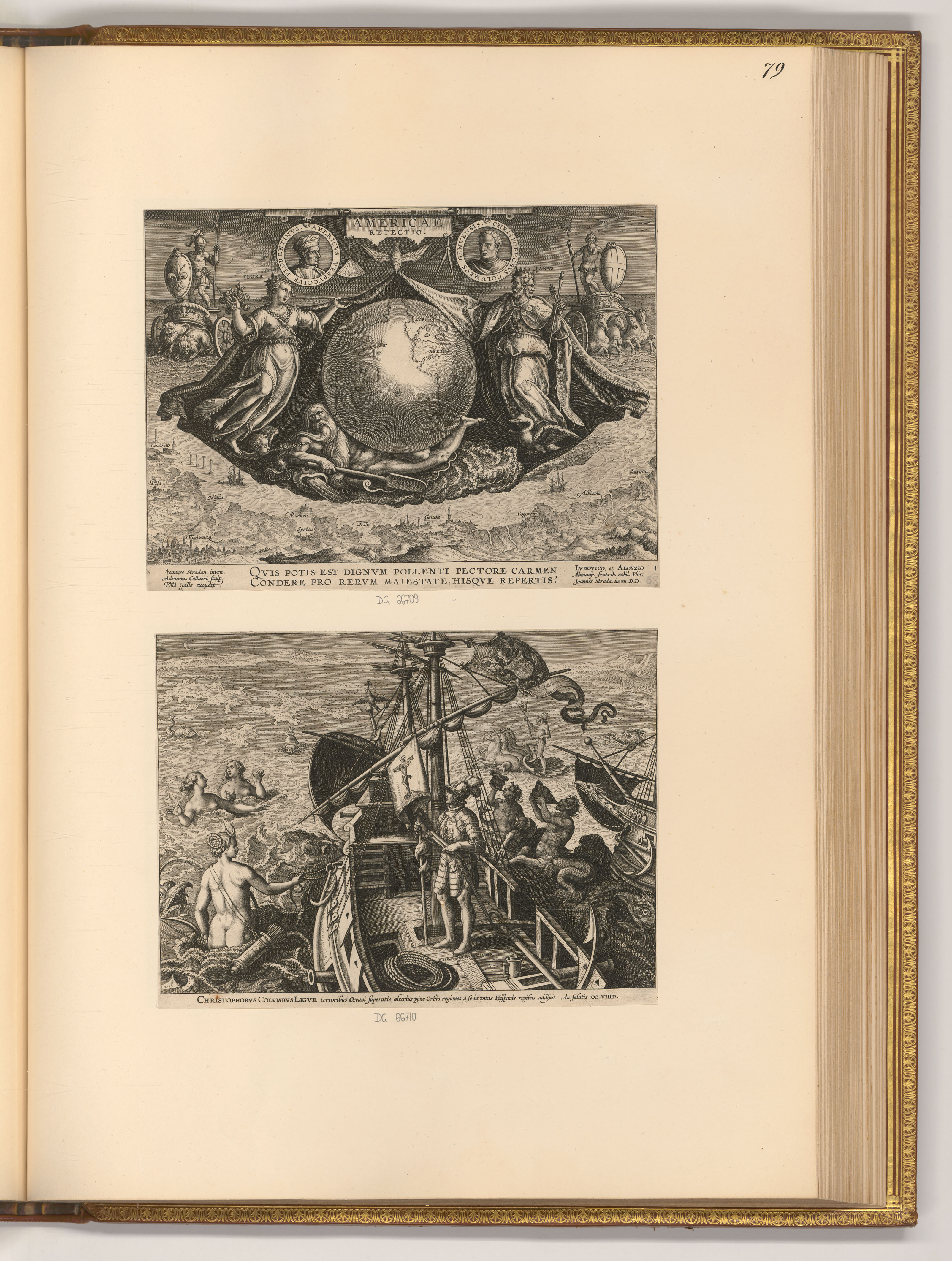
Americae Retectio Title Page with Columbus on His Ship
 Letter
Primary source
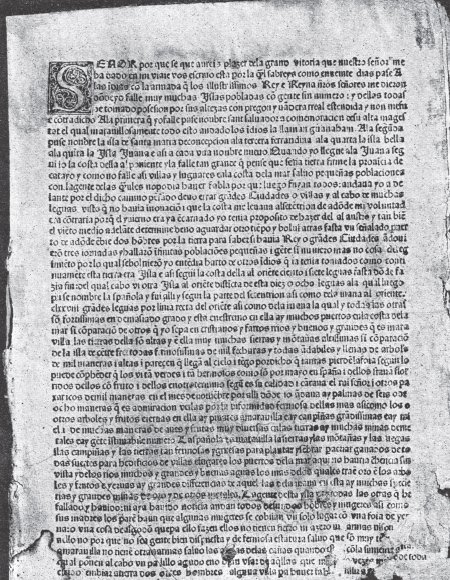
Columbus Letter on the First Voyage
Christopher Columbus · 15 February 1493
 Painting
Secondary source
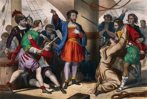
Columbus Admonishes His Men
Cassé
 Document
Primary source
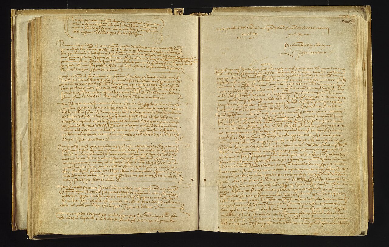
Capitulations of Santa Fe
Catholic Monarchs · 17 April 1492
Ready when you are
Start chatting with Christopher Columbus now.
20 messages free · No credit card · Available in 50+ languages.