


Primary sourceArtifactc. 1493
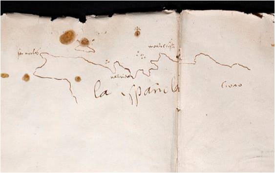
Sketch of Northwest Hispaniola Coast
Anonymous, possibly Christopher Columbus or a crew member · c. 1493
A hand-drawn coastal sketch possibly made by Columbus or a crew member during his first voyage.
This sketch may have been drawn by Columbus himself or his crew during his first voyage, documenting the coast he explored.
About this source
What it is
This is a hand-drawn ink sketch showing the northwest coast of Hispaniola, the island now divided between Haiti and the Dominican Republic. It dates from around 1493 and may have been drawn by Christopher Columbus himself or by another member of his crew near the end of his first voyage to the Indies.
Why it matters
Maps like this were essential tools for navigators recording new coastlines. If made by Columbus or his crew, it offers a rare glimpse of how early European explorers documented unfamiliar land as they encountered it, including place names they gave or recorded.
Look closer
- What details on the sketch suggest it was made quickly, perhaps at sea?
- Why is the exact author of this sketch uncertain?
- What might this sketch leave out about the people already living on this coast?
This artifact is part of the curated material that grounds the AI version of Christopher Columbus on Humy.ai — when students ask about related events, the AI can quote it and cite it.
More Christopher Columbus sources
Meet the AI Christopher Columbus →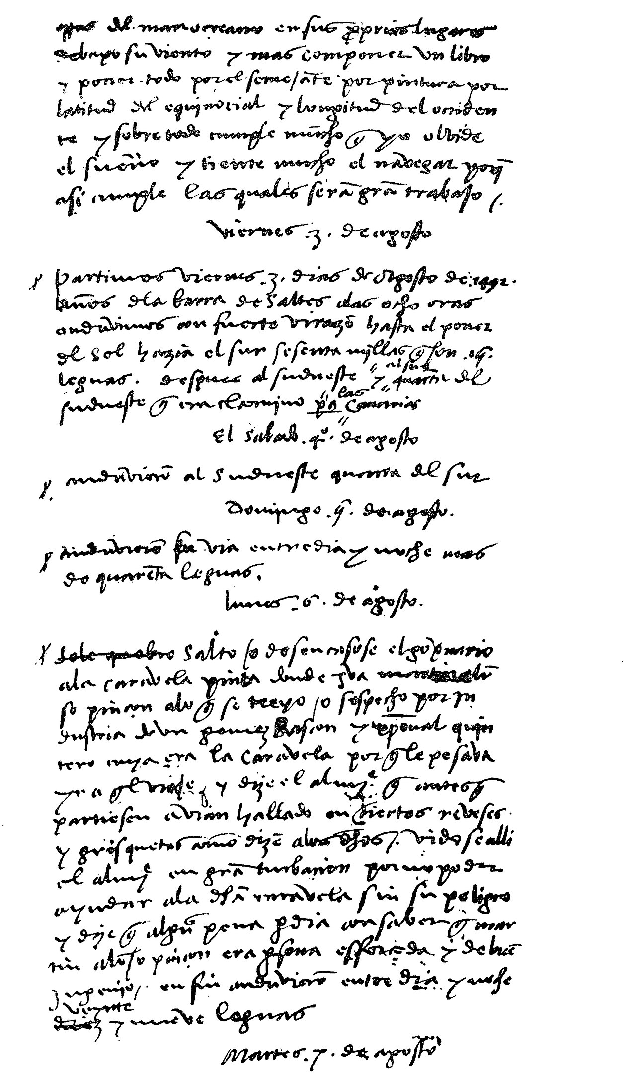 Diary entry
Primary source
Christopher Columbus' Journal
Christopher Columbus · 3 August 1492 – 15 March 1493
 Painting
Secondary source
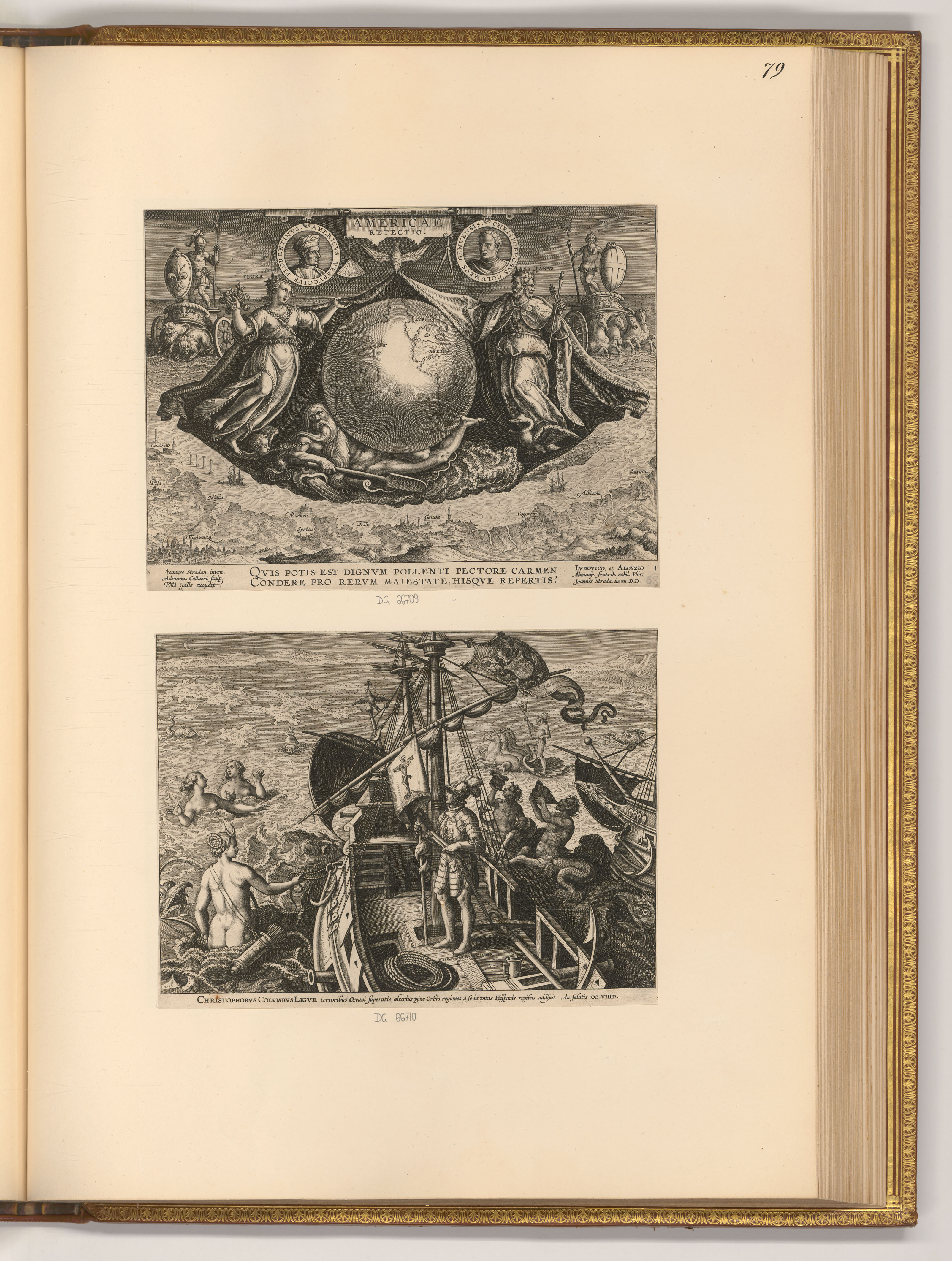
Americae Retectio Title Page with Columbus on His Ship
 Letter
Primary source
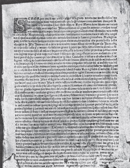
Columbus Letter on the First Voyage
Christopher Columbus · 15 February 1493
 Painting
Secondary source
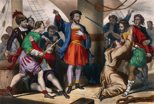
Columbus Admonishes His Men
Cassé
 Document
Primary source
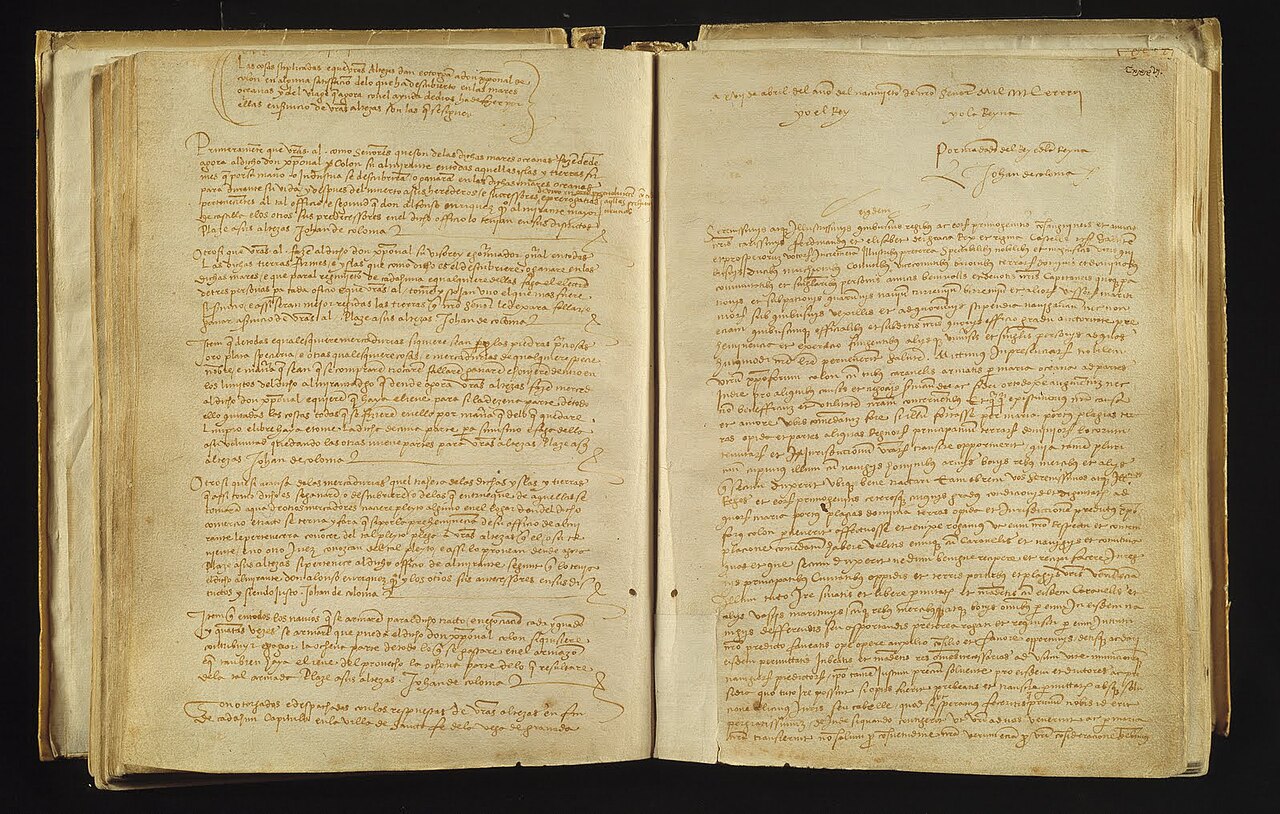
Capitulations of Santa Fe
Catholic Monarchs · 17 April 1492
Ready when you are
Start chatting with Christopher Columbus now.
20 messages free · No credit card · Available in 50+ languages.