


Primary sourceDocument12 September 1519
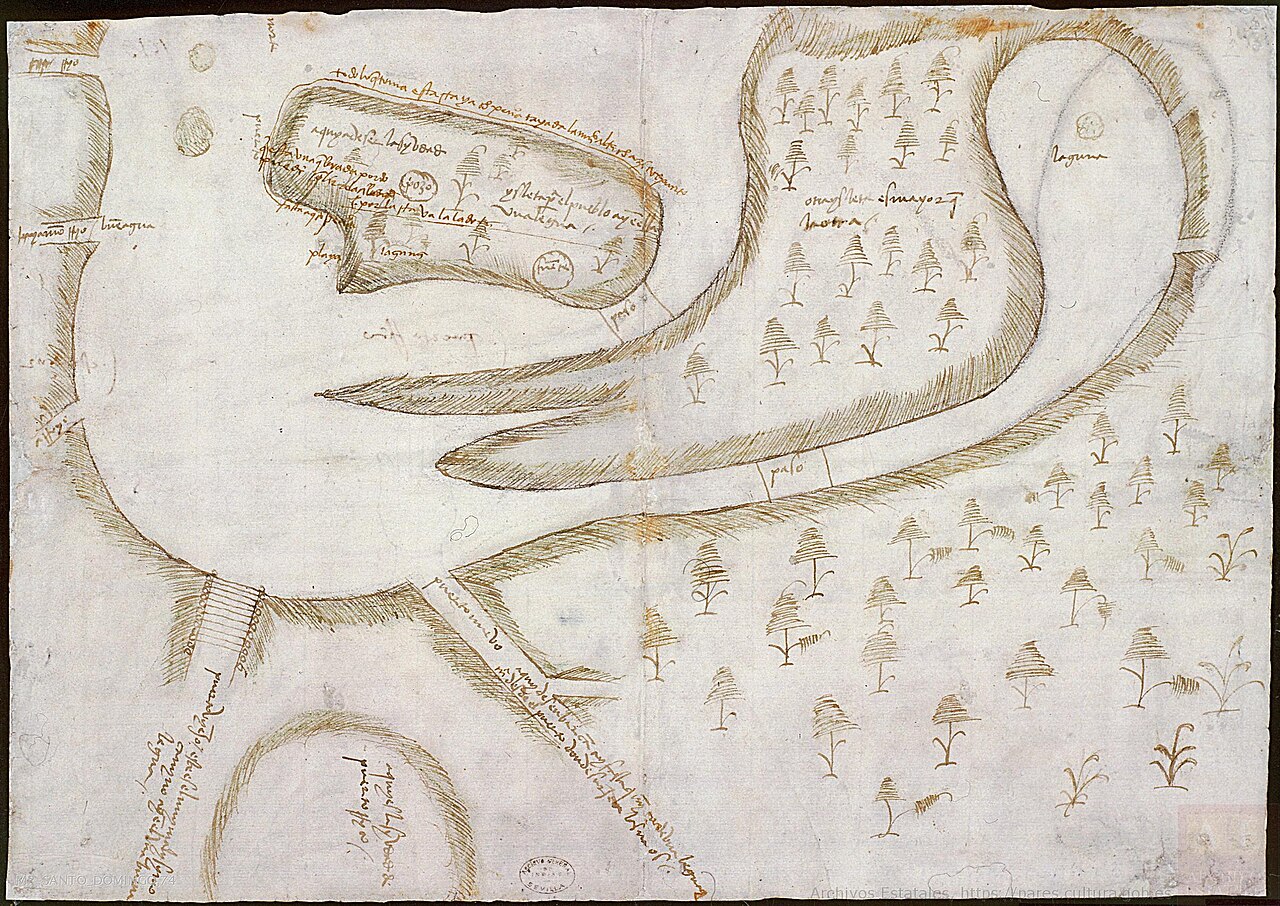
Sketch of San Juan Bay
Rodrigo de Figueroa · 12 September 1519
A 1519 hand-drawn map of San Juan Bay showing the move of the capital city from Caparra, the settlement founded by Ponce de León, to the islet that became Old San Juan.
Depicts the bay and islet near Caparra, the settlement Ponce de León founded, and the capital's move away from it.
About this source
What it is
This is a hand-drawn ink sketch made in 1519 by Rodrigo de Figueroa, a Spanish official, showing San Juan Bay in Puerto Rico. It marks the location of the first settlement, called Caparra, and the islet to which the capital was moved.
Why it matters
Caparra was founded by Juan Ponce de León in 1508 and named after a Roman city in the home region of his superior, Nicolás de Ovando. This sketch, made the same era, records the decision to relocate the capital to a healthier site on the islet, a move completed by 1521. It shows how colonial administrators planned and recorded their settlements, and how Ponce de León's original town did not last as the permanent capital.
Look closer
- What do the handwritten Spanish labels tell us about the purpose of this sketch?
- Why might officials decide to move a city rather than keep building where it already stood?
- What does this map leave out about the people who already lived on this land?
This document is part of the curated material that grounds the AI version of Juan Ponce de León on Humy.ai — when students ask about related events, the AI can quote it and cite it.
More Juan Ponce de León sources
Meet the AI Juan Ponce de León → Book
Secondary source
Historia general de los hechos de los castellanos en las islas y tierra firme del mar océano (Décadas)
Antonio de Herrera y Tordesillas · 1601–1615
 Letter
Primary source
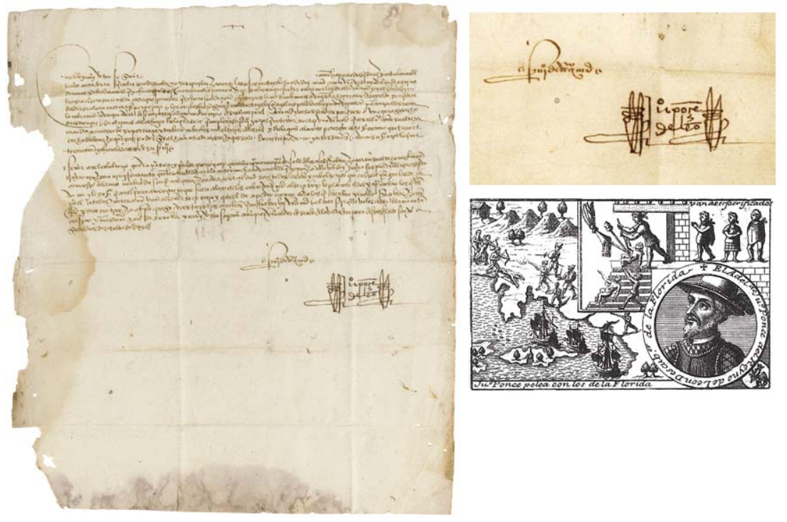
Handwritten Letter from Ponce de León to Ochoa de Isásaga
Juan Ponce de León
 Document
Primary source
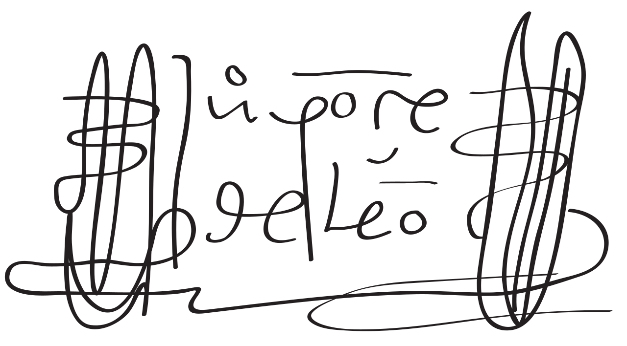
Signature of Juan Ponce de León
Juan Ponce de León
 Book
Secondary source
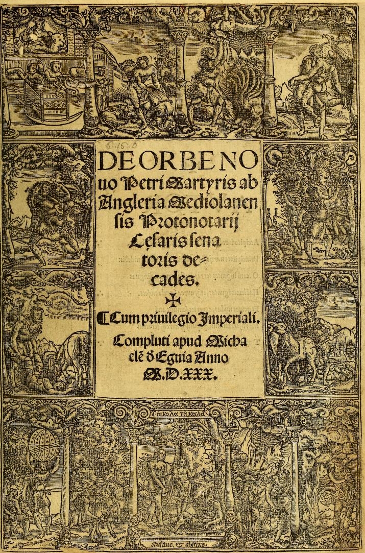
Decades of the New World
Peter Martyr d'Anghiera · 1530 (complete edition)
 Book
Secondary source
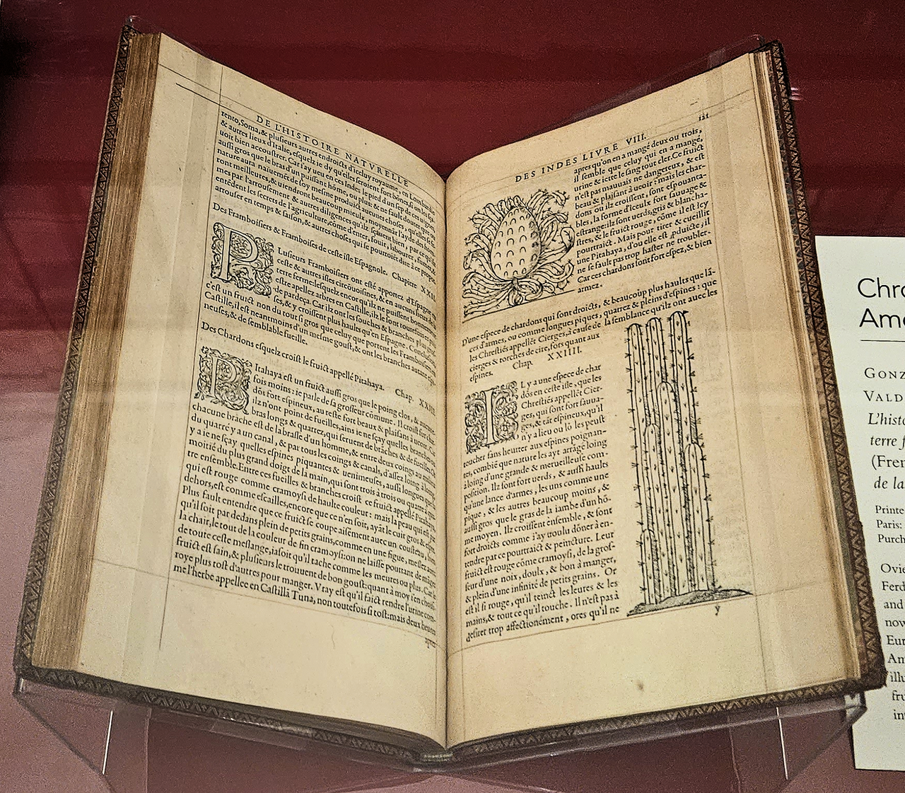
Historia general y natural de las Indias
Gonzalo Fernández de Oviedo y Valdés · 1556 (French edition); original work 16th century
Ready when you are
Start chatting with Juan Ponce de León now.
20 messages free · No credit card · Available in 50+ languages.