


Primary sourceDocument1789
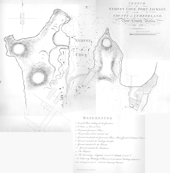
Sketch of Sydney Cove
Arthur Phillip? · 1789
An engraved map from Phillip's voyage book showing the early British settlement at Sydney Cove in 1788.
This map records the settlement Phillip founded and governed as the first Governor of New South Wales.
About this source
What it is
This is an engraved map titled 'Sketch of Sydney Cove, Port Jackson, in the County of Cumberland, New South Wales, July 1788', published as a plate in The Voyage of Governor Phillip to Botany Bay in 1789.
Why it matters
Arthur Phillip led the fleet that founded the colony at Sydney Cove in 1788, and this book recorded that achievement for readers in Britain. The map shows the coastline, the cove, and the first buildings, giving a rare direct view of the settlement in its earliest months.
Look closer
- What details does the map choose to label and show, and what does that tell us about the priorities of the colonists?
- How might this map have been used by people planning the colony's growth?
- What does the map leave out about the land and its original inhabitants?
This document is part of the curated material that grounds the AI version of Arthur Phillip on Humy.ai — when students ask about related events, the AI can quote it and cite it.
More Arthur Phillip sources
Browse all 70 →Primary source
The Voyage of Governor Phillip to Botany Bay
Arthur Phillip · 1789
 Painting
Primary source
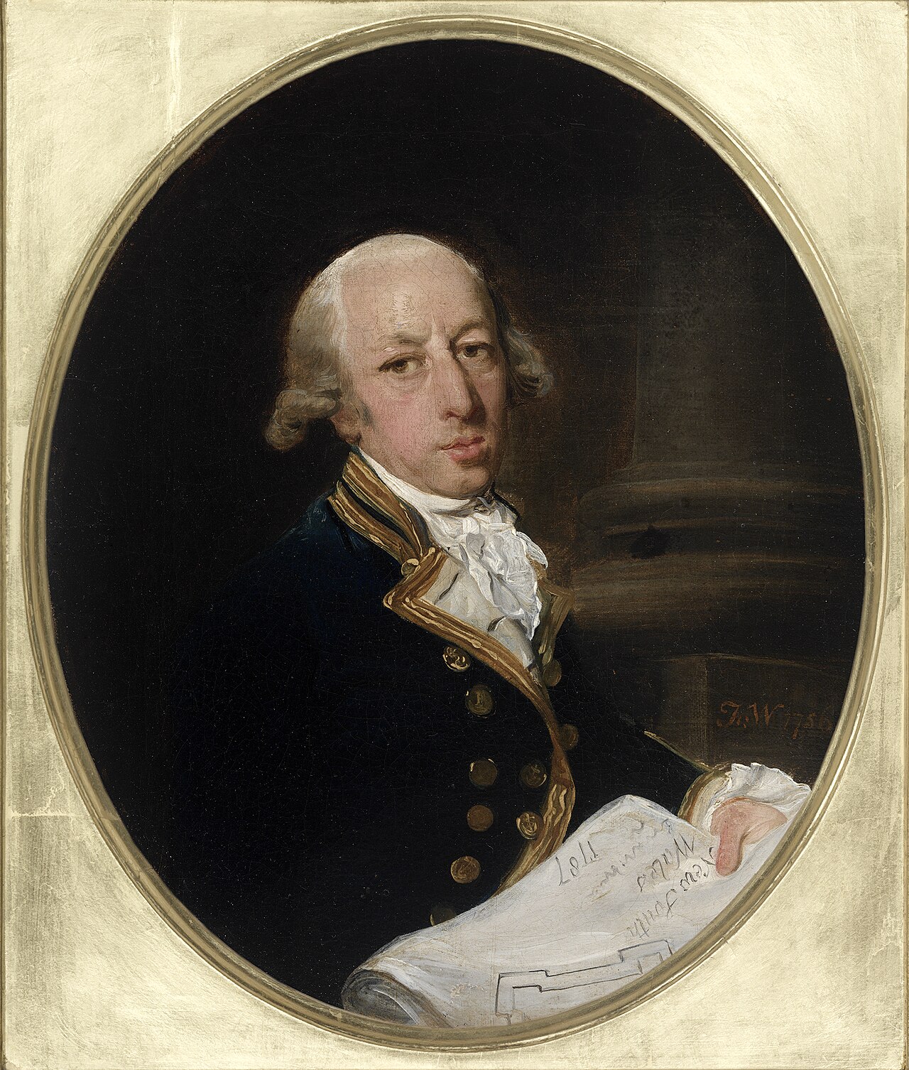
Captain Arthur Phillip, ca. 1787
Francis Wheatley · c. 1786-1787
 Painting
Primary source
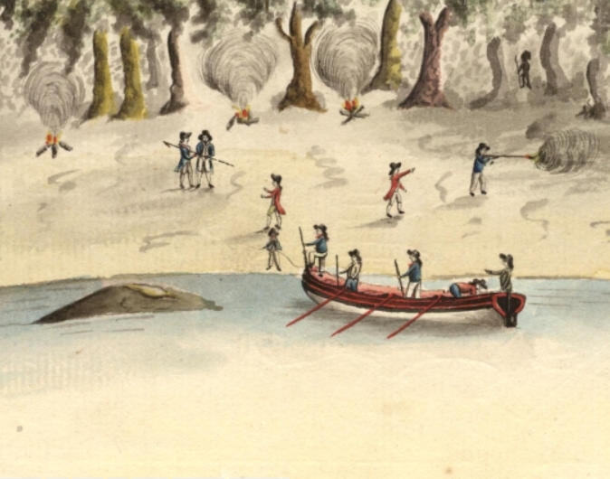
Spearing of Arthur Phillip
Port Jackson Painter · 1790
Primary source
A Narrative of the Expedition to Botany Bay
Watkin Tench · 1789

Free account
Read every Arthur Phillip source
Sign up free →
Ready when you are
Start chatting with Arthur Phillip now.
20 messages free · No credit card · Available in 50+ languages.