


Primary sourceDocumentcirca 8 February 1862
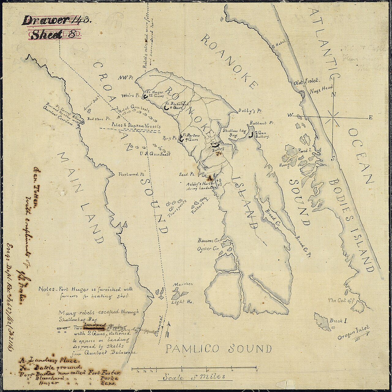
Sketch of the Action at Roanoke Island, February 8, 1862
circa 8 February 1862
A hand-drawn manuscript map of Roanoke Island and Pamlico Sound, with notes on Confederate forts and landing places from the February 1862 action.
Maps the Roanoke Island ground where Burnside's expedition attacked in February 1862.
About this source
What it is
This is a hand-drawn manuscript map of Roanoke Island and Pamlico Sound, labelled 'Drawer 4 Sheet 8'. It shows Confederate forts, landing places and notes on the action of February 1862. The text on it reads 'Pamlico Sound' and 'Scale of miles'. The author is not recorded, and the date is given as circa 8 February 1862.
Why it matters
The sketch records the ground on which the Union attack on Roanoke Island was planned and fought. Maps like this were used by commanders and officers to understand forts, shorelines and places to land. The Confederate defenders shown on the map and the Union commander Ambrose Burnside, whose expedition fought there, are the people most closely tied to it.
Look closer
- Which marks show the forts, and which show where troops could come ashore?
- Why would a hand-drawn map be made during a campaign rather than after it?
- Who drew this map, and what might they have wanted a reader to understand?
This document is part of the curated material that grounds the AI version of Ambrose Burnside on Humy.ai — when students ask about related events, the AI can quote it and cite it.
More Ambrose Burnside sources
Meet the AI Ambrose Burnside →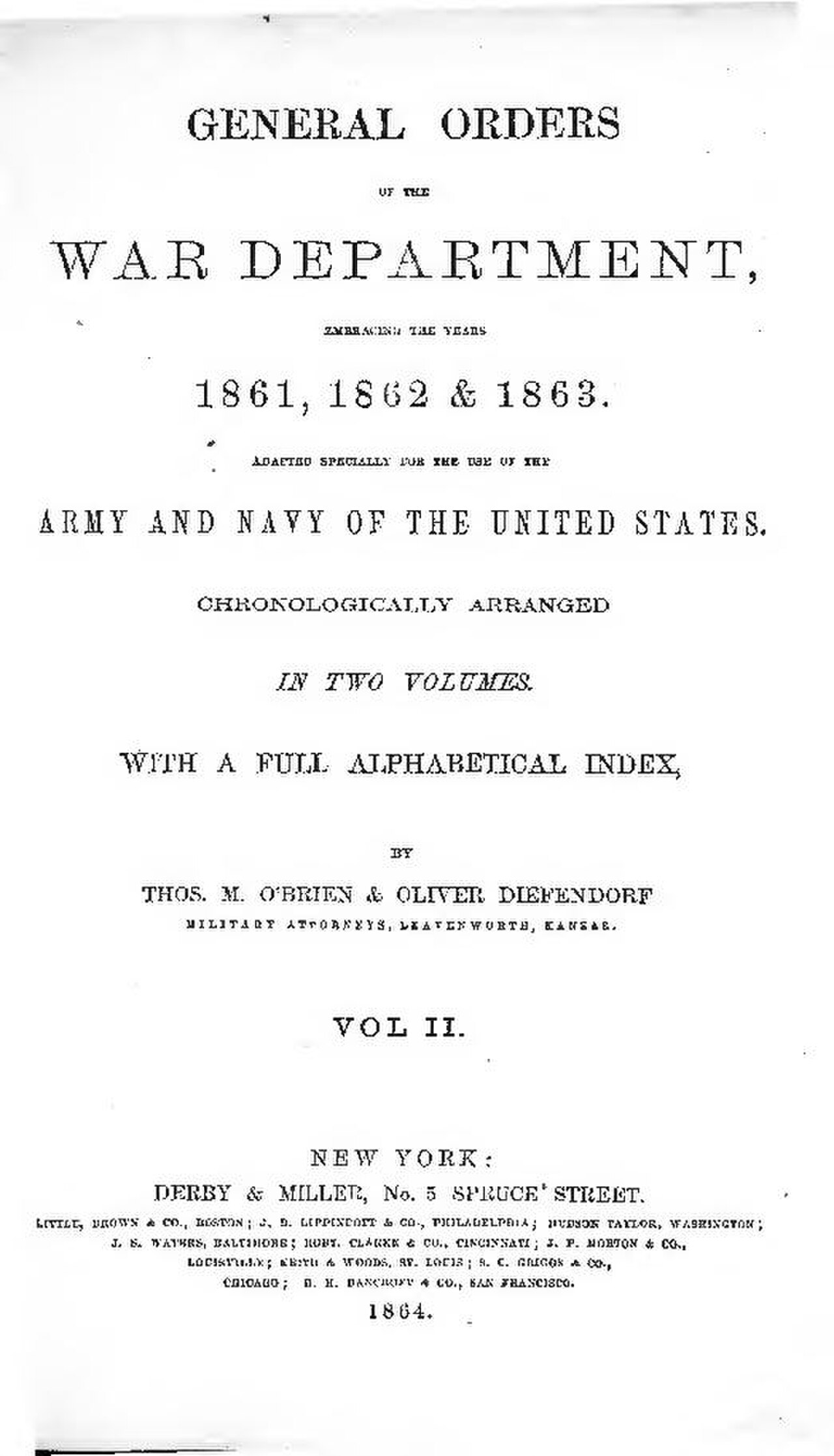 Document
Primary source
General Order No. 38
Ambrose E. Burnside · 13 April 1863
Secondary source
Ex parte Vallandigham
Supreme Court of the United States · 1864
 Artifact
Primary source
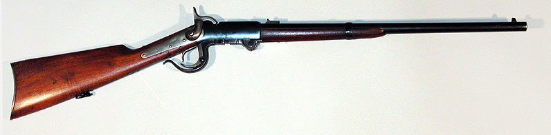
Burnside Carbine
Burnside Rifle Company / Bristol Firearms Co. · 1856–1865
 Photograph
Primary source
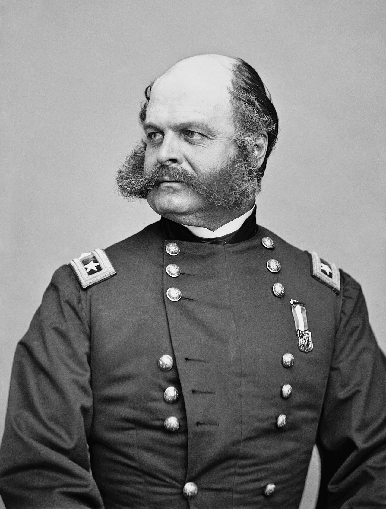
Portrait of Ambrose Burnside
Mathew Benjamin Brady
 Photograph
Primary source
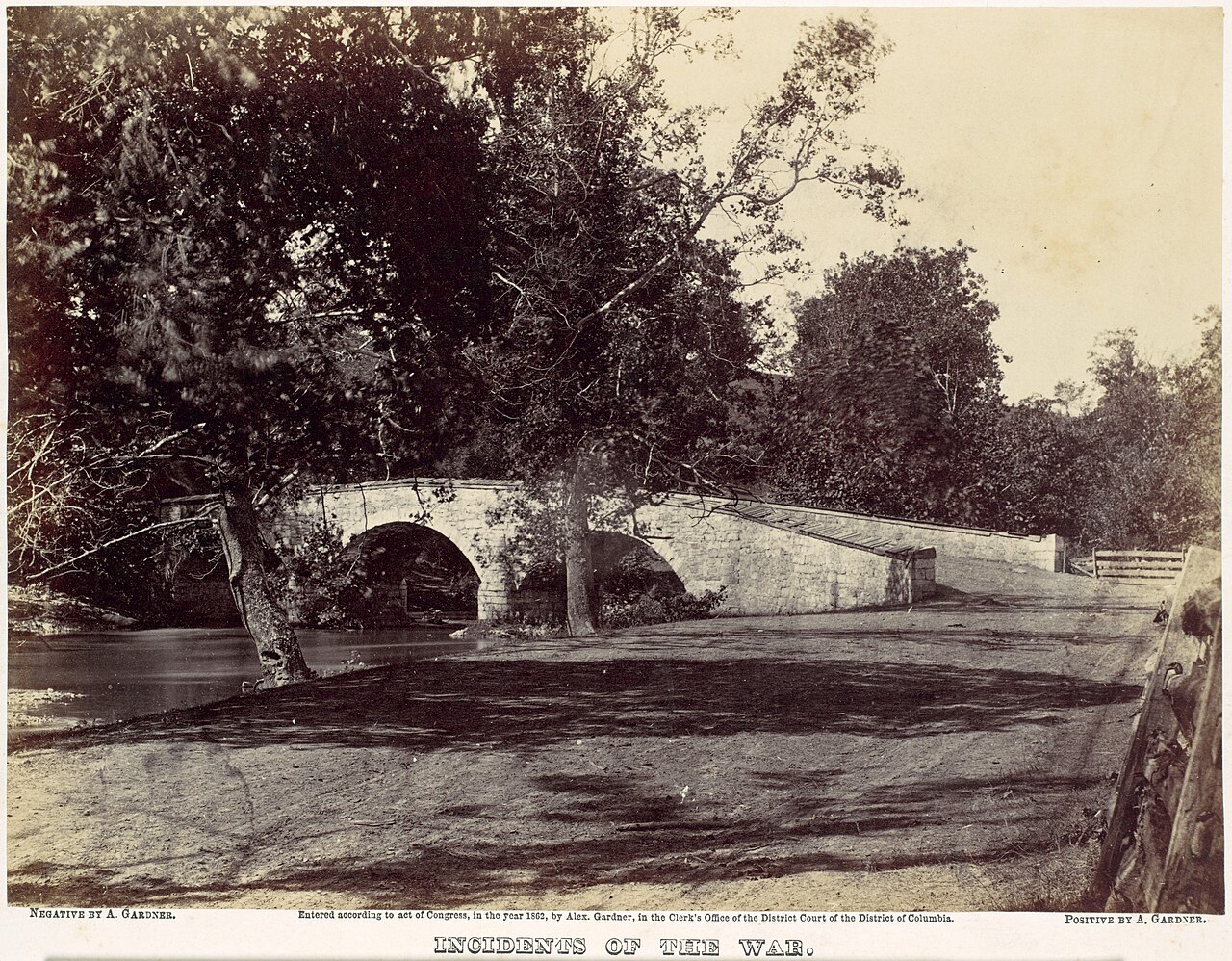
Burnside's Bridge, Antietam
Alexander Gardner · September 1862
Ready when you are
Start chatting with Ambrose Burnside now.
20 messages free · No credit card · Available in 50+ languages.