


Secondary sourcePhotograph
South Pass, Wyoming
National Park Service
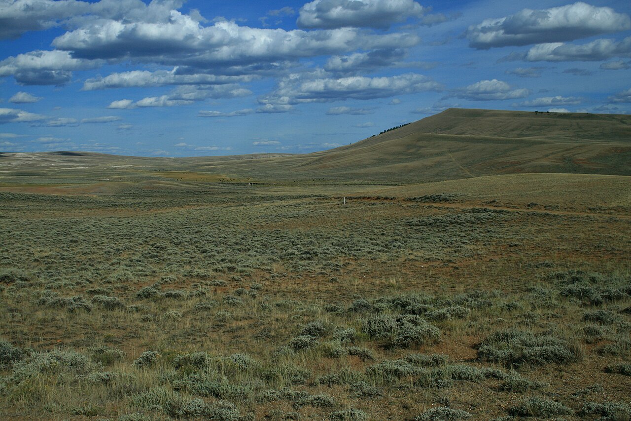
A National Park Service photograph of the South Pass valley, the mountain crossing central to Jedediah Smith's explorations.
Shows South Pass, the mountain crossing central to the routes Jedediah Smith's explorations made significant.
About this source
What it is
This National Park Service photograph shows South Pass, a wide, open valley in Wyoming on the continental divide. It is one of the high points along the Oregon, California, and Mormon Pioneer national historic trails.
Why it matters
South Pass became one of the most important routes through the Rocky Mountains for westward travel. Jedediah Smith's explorations of this region in the early 19th century helped establish its importance as a practical crossing point, which later shaped emigrant trails used by thousands of settlers.
Look closer
- Why might a gentle, open valley like this matter so much for wagon travel compared to steep mountain terrain?
- What clues in the landscape hint at why this spot was chosen as a crossing point?
- How might this place have looked different in Smith's time versus today?
This photograph is part of the curated material that grounds the AI version of Jedediah Smith on Humy.ai — when students ask about related events, the AI can quote it and cite it.
More Jedediah Smith sources
Meet the AI Jedediah Smith →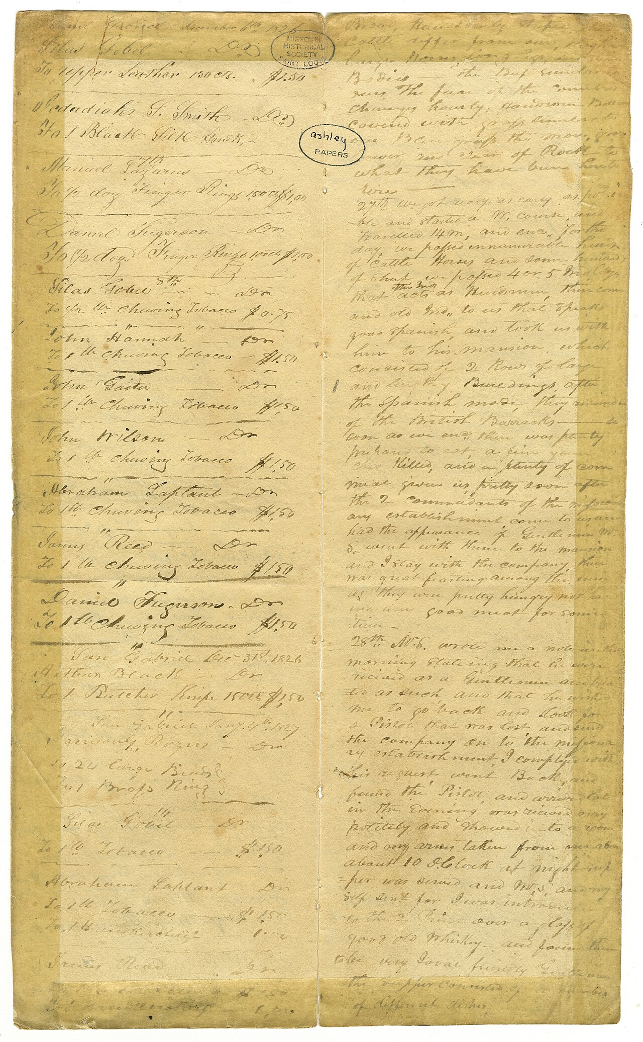 Diary entry
Primary source
Journals of Harrison G. Rogers
Harrison G. Rogers · 1826–1828
 Book
Secondary source
History of the Expedition under the Command of Captains Lewis and Clark
Nicholas Biddle and Paul Allen (eds.) · 1814
 Painting
Secondary source
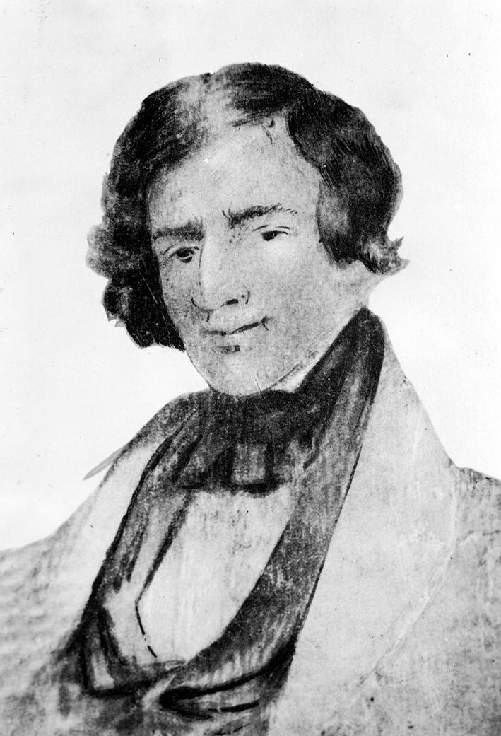
Portrait of Jedediah Smith
Unknown friend of Jedediah Smith · c. 1835
 Painting
Secondary source
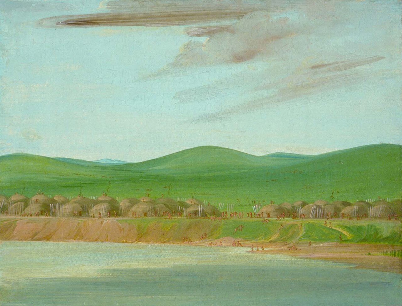
Arikara Village of Earth-Covered Lodges, 1600 Miles above St. Louis
George Catlin · 1832
 Book
Secondary source
Commerce of the Prairies
Josiah Gregg · 1844
Ready when you are
Start chatting with Jedediah Smith now.
20 messages free · No credit card · Available in 50+ languages.