


Secondary sourceDocumentApril 1942
Spanish Territorial Changes in Northwest Africa, 1885-1912
Geographical Review · April 1942
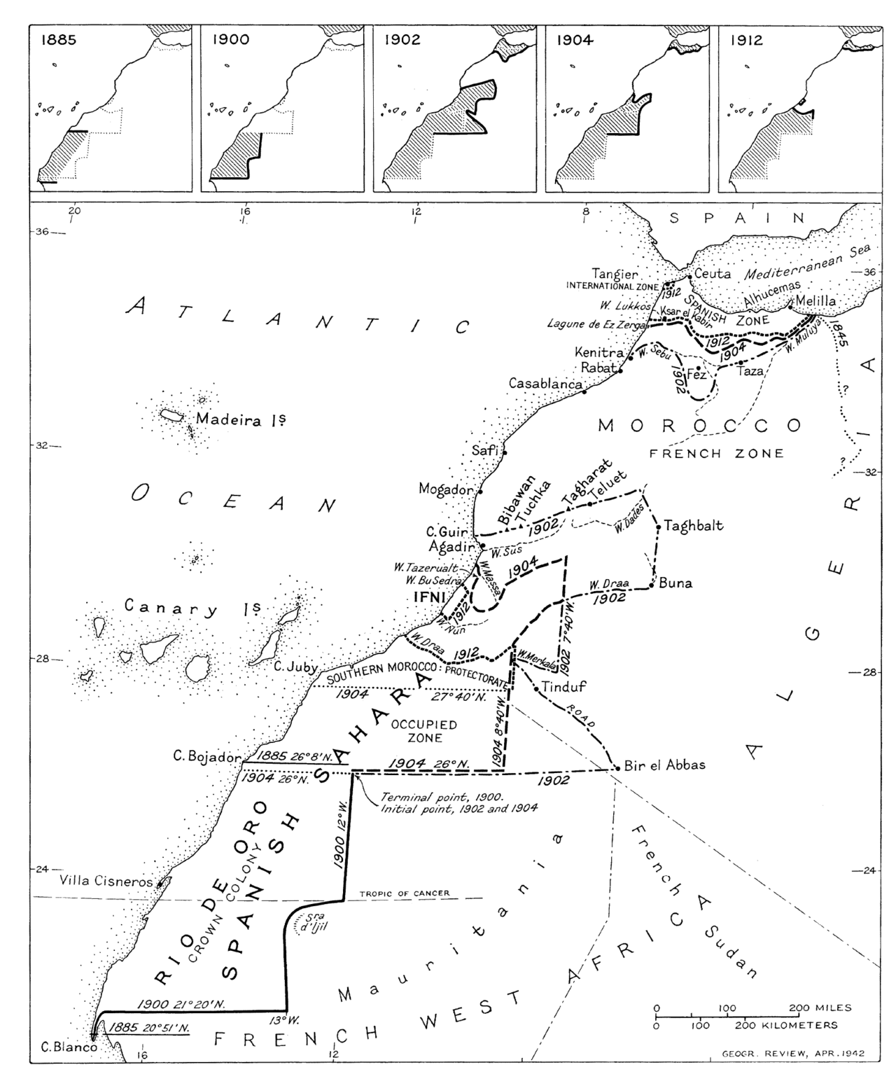
A 1942 map showing how Spain's territory in Morocco expanded and contracted before the era of Abd el-Krim's Rif Republic.
Shows the colonial borders of the Spanish protectorate that Abd el-Krim's Rif Republic later fought against.
Free Humy account · No credit card · 120,912 sources to read
About this source
What it is
This map was published in the Geographical Review in April 1942. It shows Spanish territorial expansion and contraction in Morocco and the Western Sahara from the late 19th century up to the Franco-Spanish convention of 1912, which settled boundaries and created the Spanish protectorate in Morocco. It includes five small maps showing changes in 1885, 1900, 1902, 1904, and 1912.
Why it matters
This map explains the colonial background to the Rif War: the Spanish protectorate created in 1912 covered the northern Moroccan region where Abd el-Krim later led the Rif Republic against Spain and France. Understanding these borders helps explain why the conflict broke out.
Look closer
- Why did the borders between Spanish and French territory keep changing?
- What does this map leave out about the Moroccan people living in these areas?
- How might this map have been used differently by Spanish officials than by Moroccans?
This document is part of the curated material that grounds the AI version of Abd el-Krim on Humy.ai — when students ask about related events, the AI can quote it and cite it.
More Abd el-Krim sources
Browse all 40 →Primary source
Recording of the Voice of Abd el-Krim
Abd el-Krim · 1952
 Document
Primary source
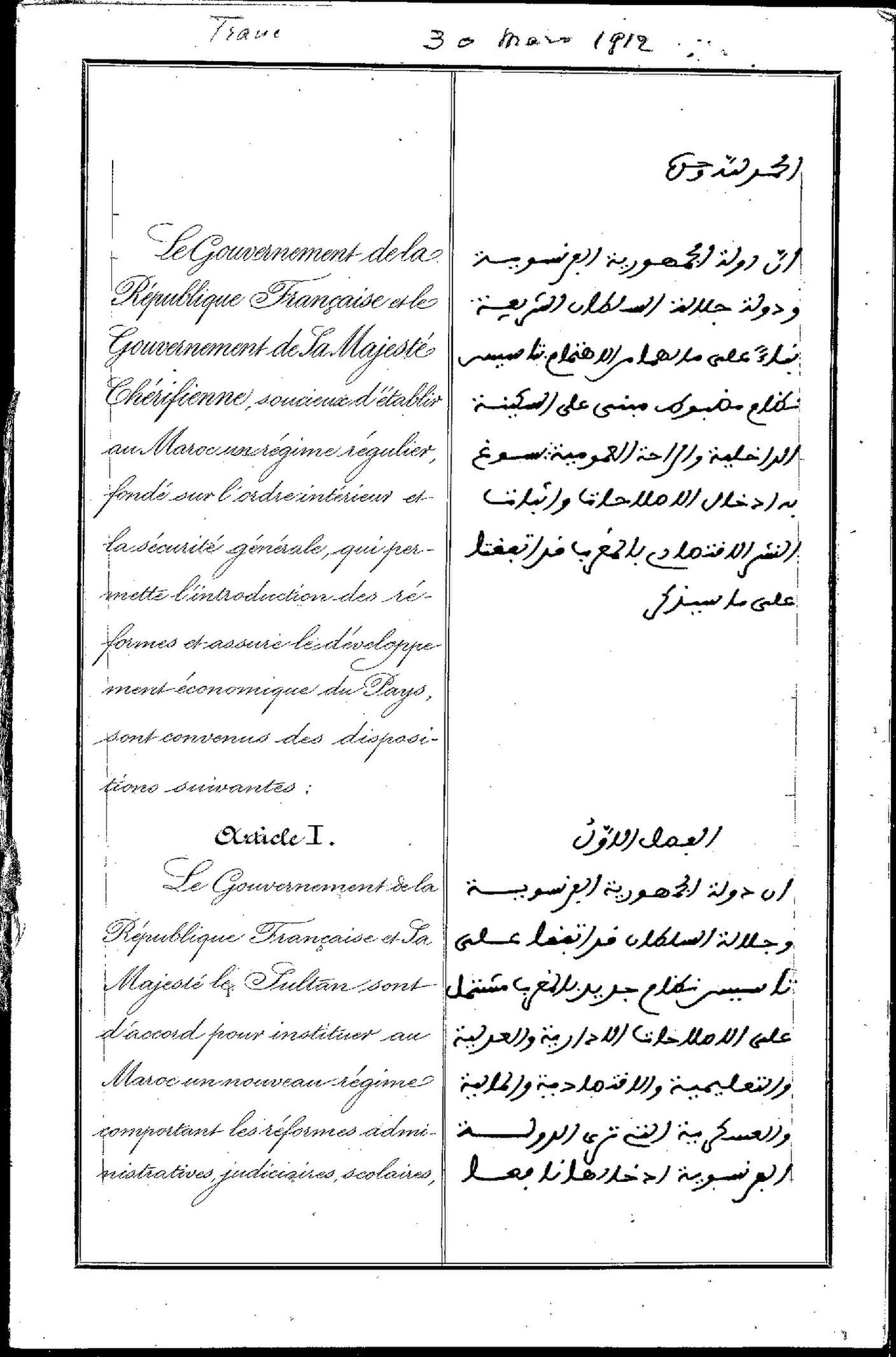
Treaty of Fes
30 March 1912
 Photograph
Primary source
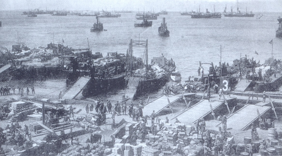
Alhucemas landing
1925
 Photograph
Primary source
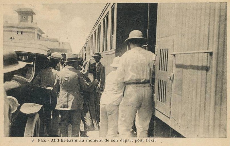
Abd el-Krim Departing for Exile, Fez 1926
Édit. Bouhsira, Fez · 1926

Free account
Read every Abd el-Krim source
Sign up free →
Ready when you are
Start chatting with Abd el-Krim now.
20 messages free · No credit card · Available in 50+ languages.