


Secondary sourcePhotographJune 1973
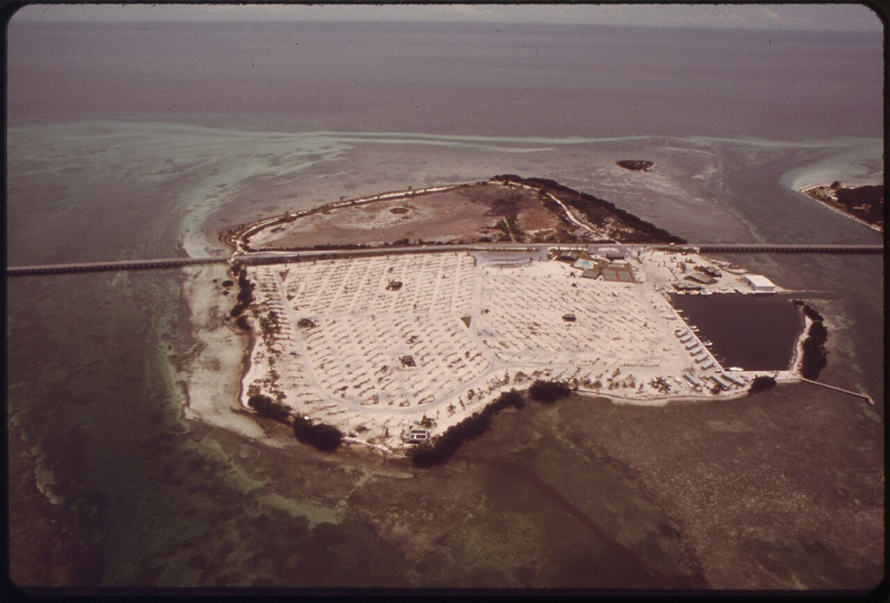
Sunshine Key, Florida Keys, Research Site
Flip Schulke · June 1973
A 1973 aerial photograph of Sunshine Key, the Florida Keys island where Carson camped while researching The Edge of the Sea.
Identifies the specific Florida Keys site where Carson camped and gathered data for The Edge of the Sea.
About this source
What it is
This is an aerial photograph of Sunshine Key in the Florida Keys, taken by Flip Schulke in June 1973. It shows the small island with campsites, a boat basin, a causeway, and the surrounding shallow turquoise water.
Why it matters
Rachel Carson camped at this site while gathering data for her 1955 book The Edge of the Sea, which described coastal ecosystems for a general readership. The photograph was taken years after her visit, showing how the location later developed, but it still identifies the real place tied to her fieldwork.
Look closer
- This photo was taken in 1973, well after Carson's visit — what might have changed about the island since then?
- Why would a researcher like Carson choose to camp at a remote key like this?
- What can an aerial photograph show about a place that a ground-level photo cannot?
This photograph is part of the curated material that grounds the AI version of Rachel Carson on Humy.ai — when students ask about related events, the AI can quote it and cite it.
More Rachel Carson sources
Meet the AI Rachel Carson → Book
Primary source
Silent Spring
Rachel Carson · 1962
 Photograph
Primary source
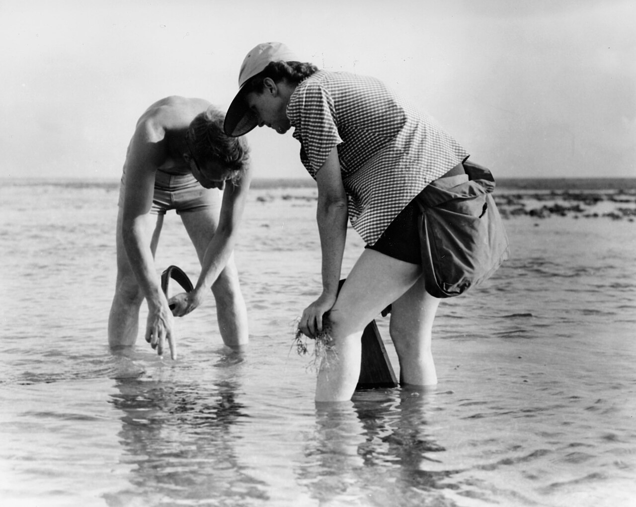
Rachel Carson Conducts Marine Biology Research with Bob Hines
U.S. Fish and Wildlife Service · 1952
 Sculpture
Secondary source
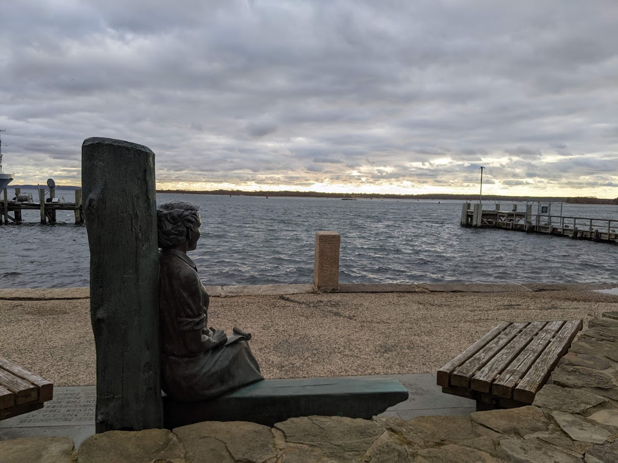
Rachel Carson Statue in Woods Hole
2022
Secondary source
Public Law 110-62 Naming the Rachel Carson Post Office Building
110th United States Congress · 9 August 2007
 Photograph
Primary source
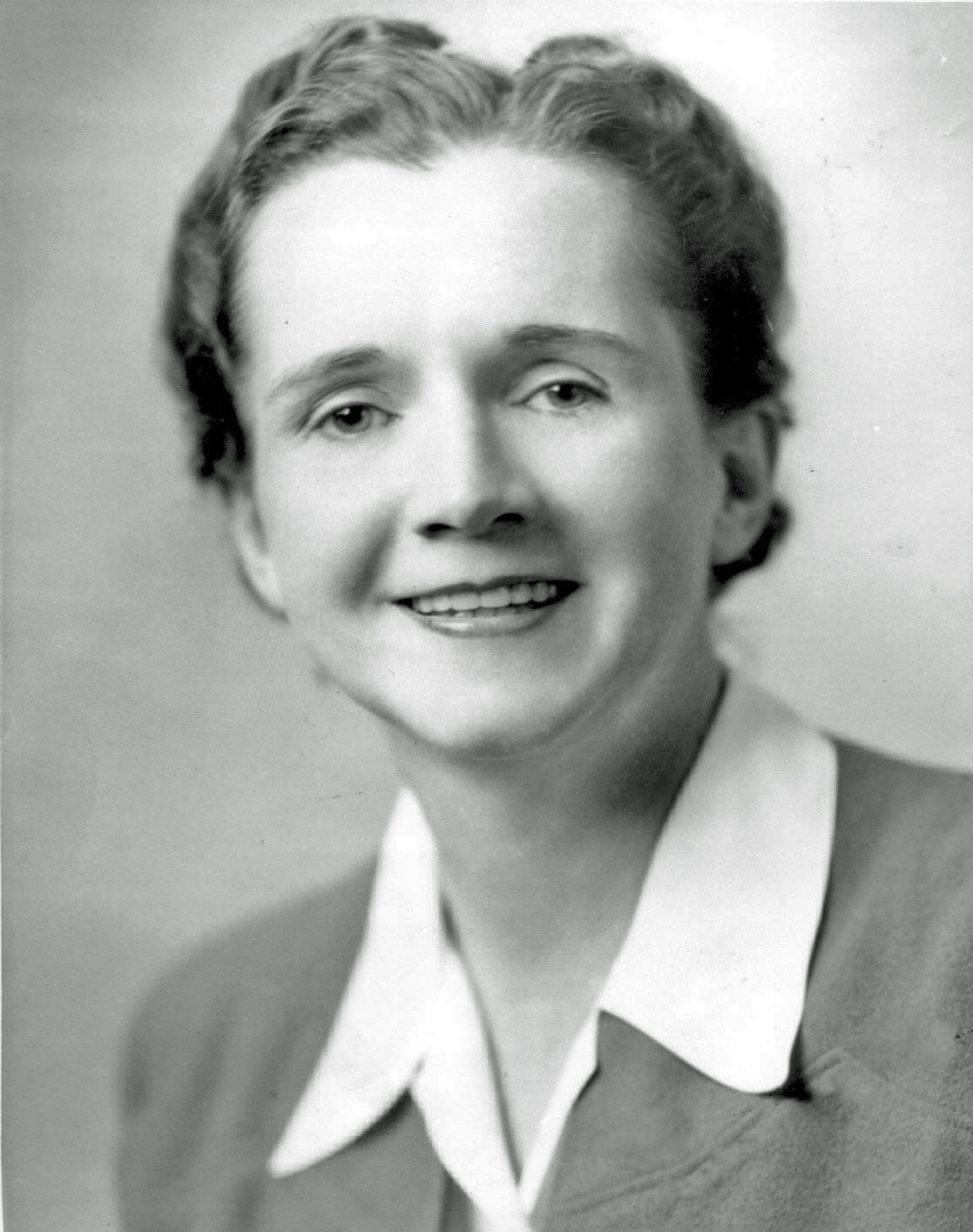
Rachel Carson, Official FWS Portrait
U.S. Fish and Wildlife Service
Ready when you are
Start chatting with Rachel Carson now.
20 messages free · No credit card · Available in 50+ languages.