


Primary sourceArtifactSeptember 1837
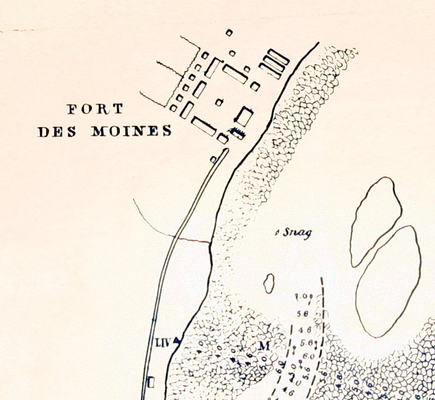
Survey Map of the Des Moines Rapids
Robert E. Lee · September 1837
A hand-drawn 1837 map by Robert E. Lee showing Fort Des Moines and the Des Moines Rapids in Iowa, from his prewar engineering work.
Lee drew this survey map himself as part of his prewar career as a U.S. Army engineer.
About this source
What it is
This map, drawn by Robert E. Lee with assistance from M. C. Meigs, I. S. Morehead, and H. Kaysee, shows Fort Des Moines (later Montrose) at the head of the Des Moines Rapids in Iowa. It dates from September 1837.
Why it matters
Before the Civil War, Lee served as a U.S. Army engineer working on river improvements. This survey was part of his effort to open the upper Mississippi River region to steamboat traffic, showing a side of his career far removed from the battlefield he is best known for.
Look closer
- What details on the map, like the soundings and rapids markings, tell you about the purpose of this survey?
- Why might the U.S. Army have needed detailed maps of river rapids in the 1830s?
- How does this document change or add to your picture of Lee's career before the Civil War?
This artifact is part of the curated material that grounds the AI version of Robert E. Lee on Humy.ai — when students ask about related events, the AI can quote it and cite it.
More Robert E. Lee sources
Meet the AI Robert E. Lee →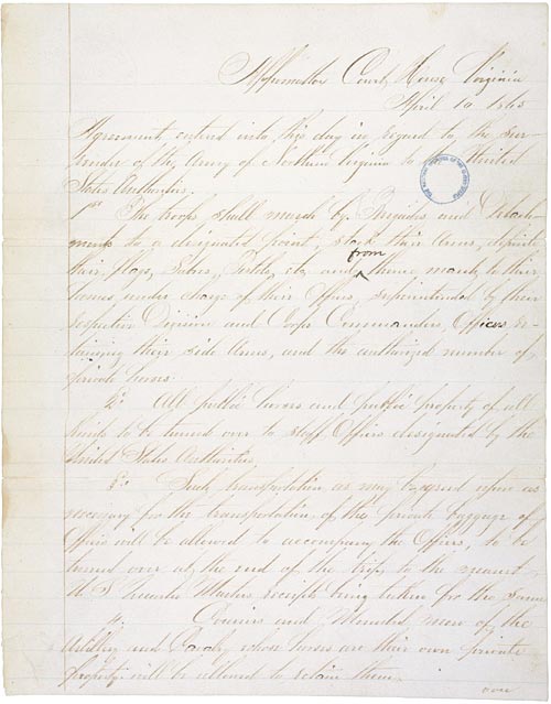 Document
Primary source
Articles of Agreement Relating to the Surrender of the Army of Northern Virginia
Ulysses S. Grant · 10 April 1865
 Letter
Primary source
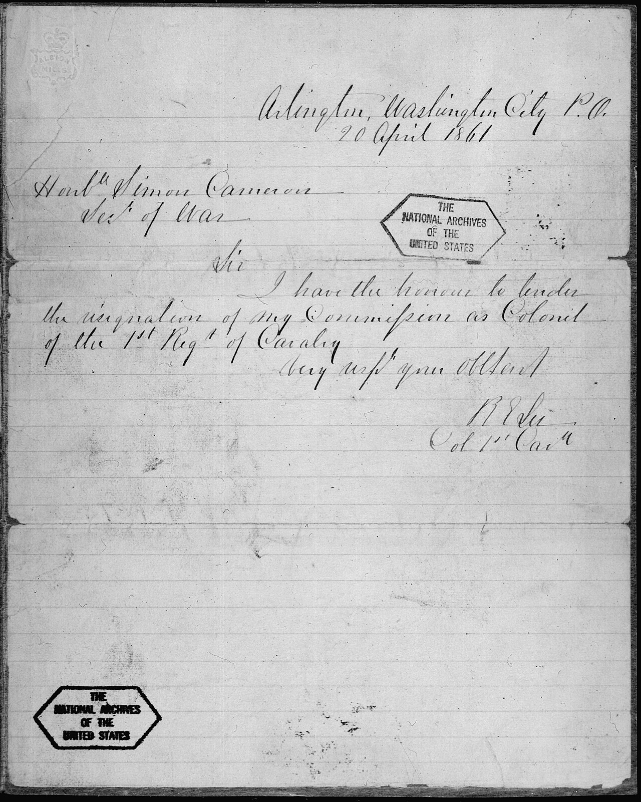
Letter from Robert E. Lee to Simon Cameron Resigning from the U.S. Army
Robert E. Lee · 20 April 1861
 Speech
Primary source
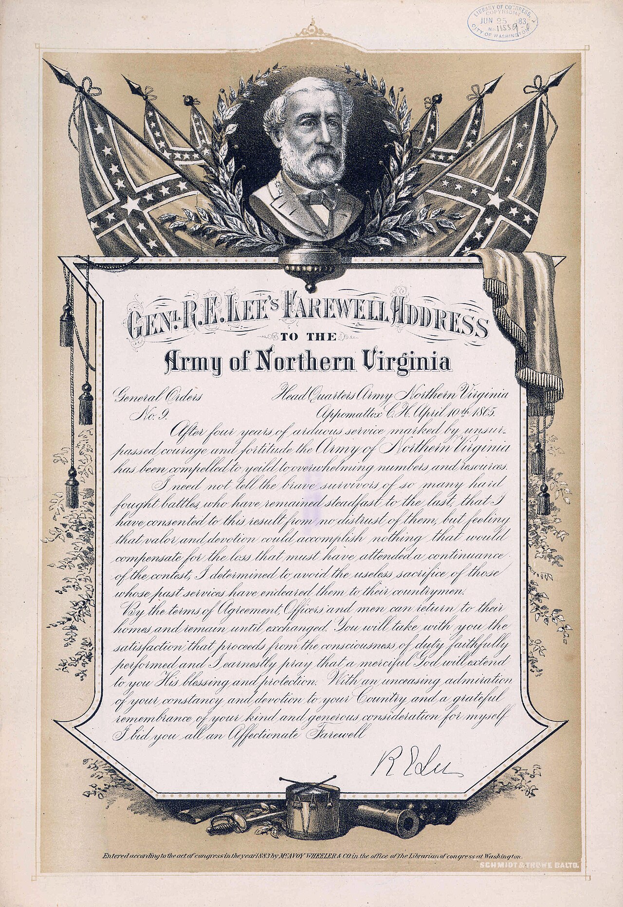
Lee's Farewell Address (General Order No. 9)
 Photograph
Primary source
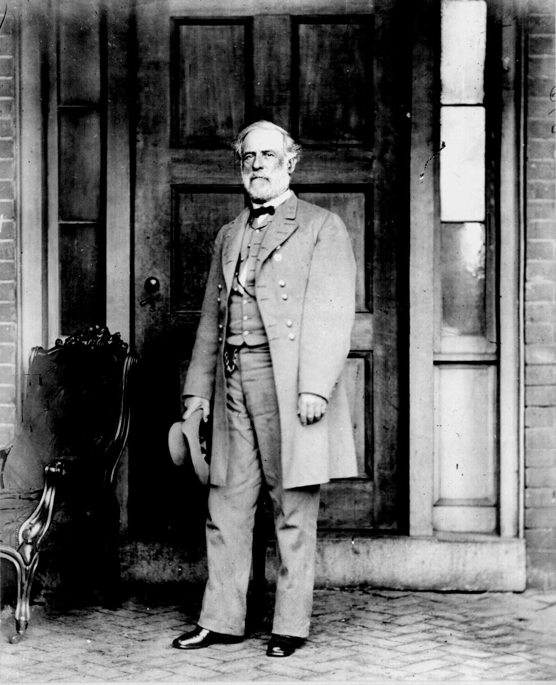
Confederate General Robert E. Lee Poses in Late April 1865
Mathew Benjamin Brady · late April 1865
 Book
Primary source
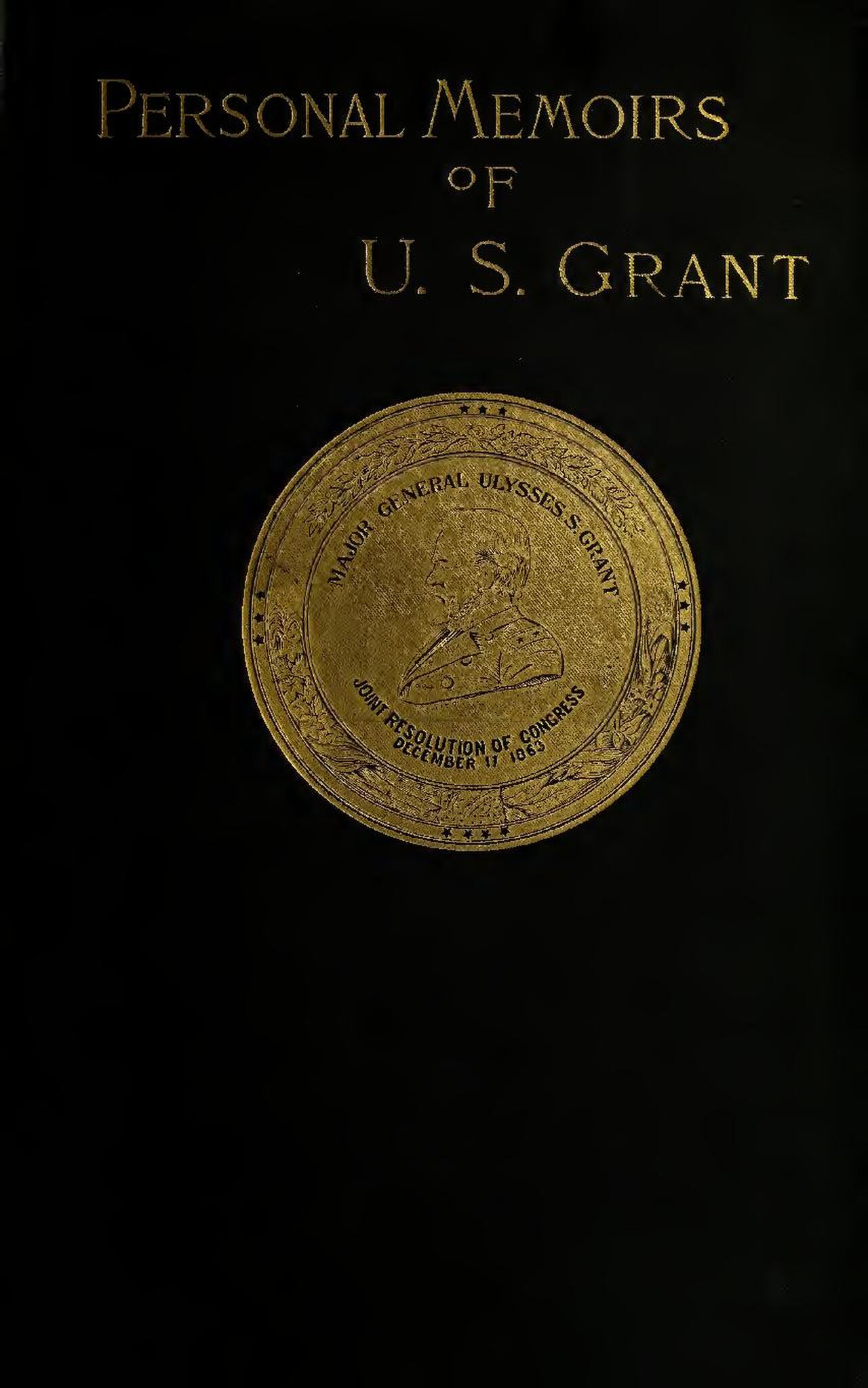
Personal Memoirs of U. S. Grant
Ulysses S. Grant · 1885
Ready when you are
Start chatting with Robert E. Lee now.
20 messages free · No credit card · Available in 50+ languages.