


Primary sourceDocumentc. 1777
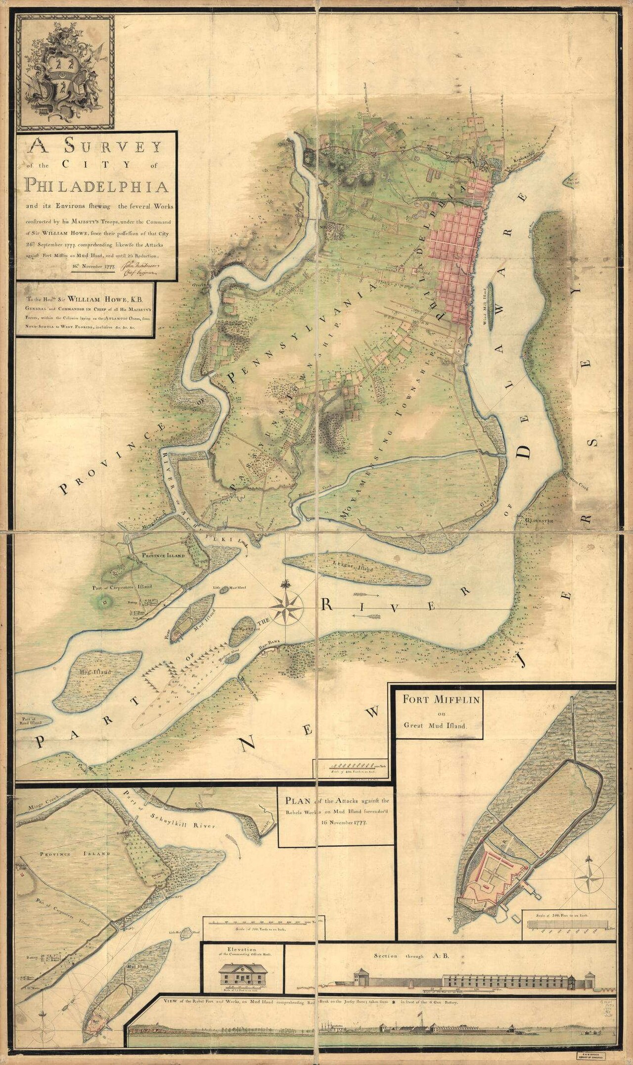
Survey of Philadelphia and Its Environs, 1777
John Montresor · c. 1777
A British military survey map of occupied Philadelphia, the city where Galloway lived and served under British rule.
Maps the British-occupied city of Philadelphia where Galloway lived and worked under British rule.
About this source
What it is
This hand-colored map, made around 1777 by British engineer John Montresor, surveys Philadelphia and its surroundings, showing fortifications built by British troops under Sir William Howe after they occupied the city in September 1777.
Why it matters
This map records the period when the British army controlled Philadelphia. Joseph Galloway, as a Loyalist, lived in and served the city under British occupation during this time, making this map useful context for understanding his circumstances, even though he is not depicted on it.
Look closer
- What can you tell about military priorities from what this map chooses to show in detail?
- Why would the British army need such a detailed survey of a city they had just occupied?
- What does this map leave out about the everyday lives of Philadelphia's residents?
This document is part of the curated material that grounds the AI version of Joseph Galloway on Humy.ai — when students ask about related events, the AI can quote it and cite it.
More Joseph Galloway sources
Meet the AI Joseph Galloway →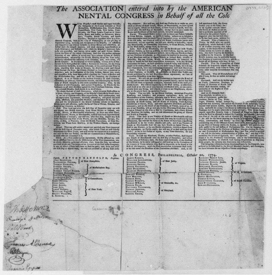 Document
Primary source
Continental Association
First Continental Congress · 20 October 1774
 Painting
Secondary source
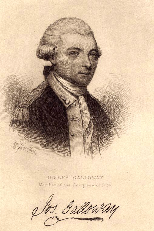
Portrait of Joseph Galloway
Thomas Emmet · 1885
 Document
Primary source
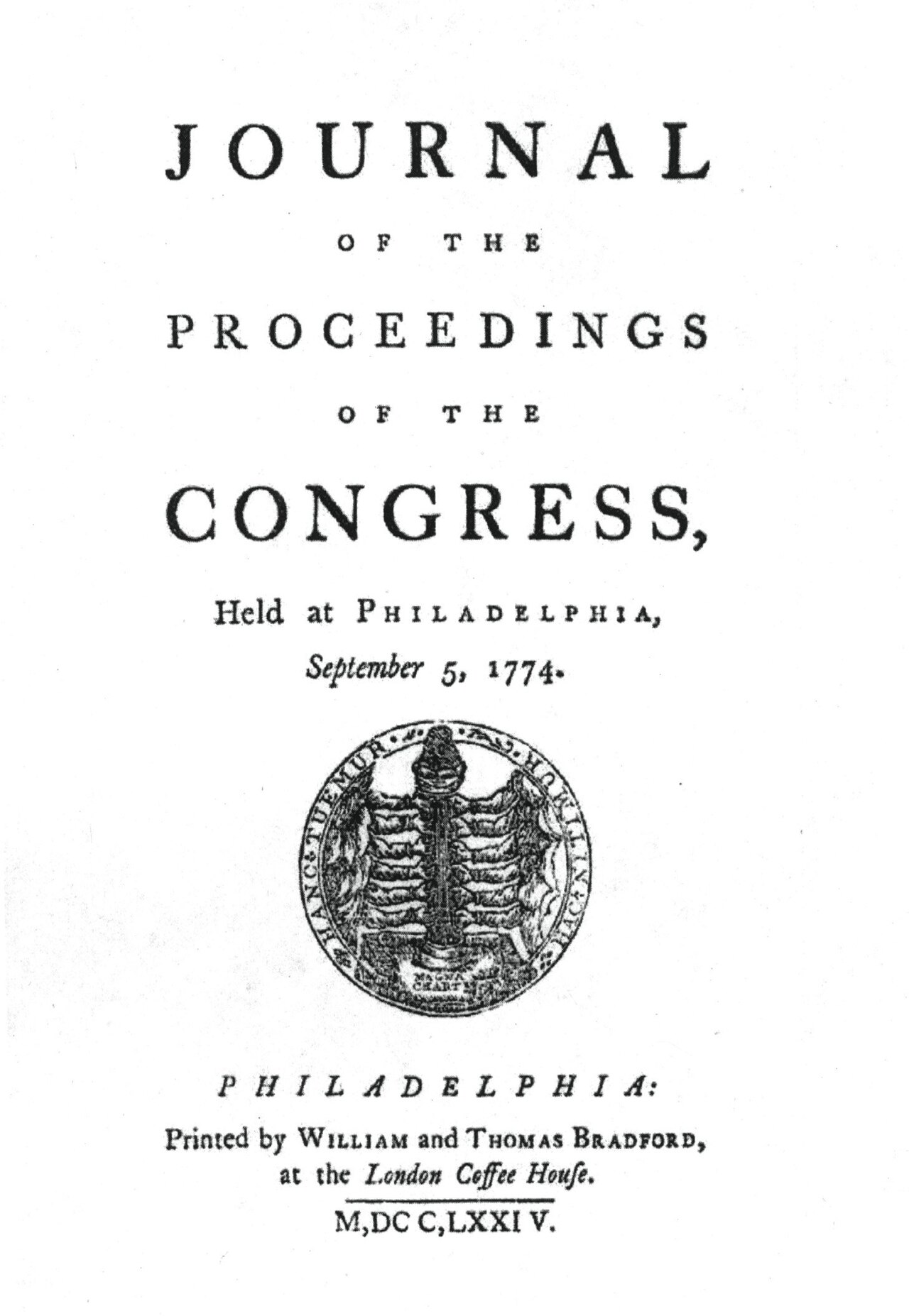
Journals of the Continental Congress
1774
 Document
Primary source
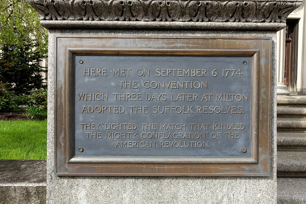
Suffolk Resolves
Joseph Warren · 1774
 Speech
Primary source
The Speech of Joseph Galloway, Esq., in Answer to the Speech of John Dickinson
Joseph Galloway · 1764
Ready when you are
Start chatting with Joseph Galloway now.
20 messages free · No credit card · Available in 50+ languages.