


Primary sourceDocument1789
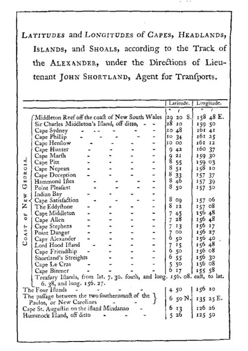
Table of Latitudes and Longitudes from the Voyage of Governor Phillip
Arthur Phillip? · 1789
A table of coastal positions from Arthur Phillip's 1789 published account of the voyage to Botany Bay.
Appears in Phillip's own published 1789 account of the voyage to Botany Bay that he led as governor.
Free Humy account · No credit card · 120,912 sources to read
About this source
What it is
This is a printed table from the 1789 book The Voyage of Governor Phillip to Botany Bay, listing latitudes and longitudes of capes, headlands, islands and shoals as recorded along the track of the transport ship Alexander, under the direction of Lieutenant John Shortland.
Why it matters
The table is part of the official published account associated with Arthur Phillip's voyage and governorship, and it shows the practical navigational work that underpinned the First Fleet's journey to Australia. It reflects the careful record-keeping expected of naval officers of the period.
Look closer
- Why would navigators need such precise tables of positions?
- What does this table tell you about who did the surveying work on the voyage?
- What is missing from a table like this that a written account might include?
This document is part of the curated material that grounds the AI version of Arthur Phillip on Humy.ai — when students ask about related events, the AI can quote it and cite it.
More Arthur Phillip sources
Browse all 70 →Primary source
The Voyage of Governor Phillip to Botany Bay
Arthur Phillip · 1789
 Painting
Primary source
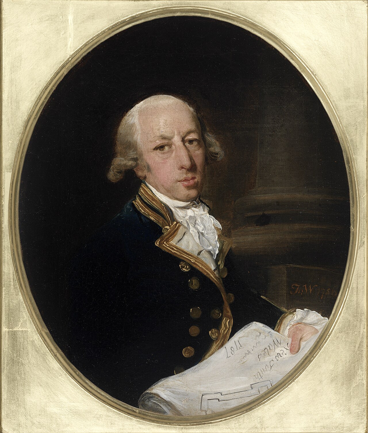
Captain Arthur Phillip, ca. 1787
Francis Wheatley · c. 1786-1787
 Painting
Primary source
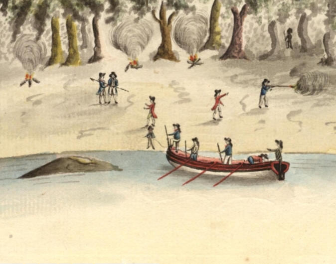
Spearing of Arthur Phillip
Port Jackson Painter · 1790
Primary source
A Narrative of the Expedition to Botany Bay
Watkin Tench · 1789

Free account
Read every Arthur Phillip source
Sign up free →
Ready when you are
Start chatting with Arthur Phillip now.
20 messages free · No credit card · Available in 50+ languages.