


Primary sourceDocument1789
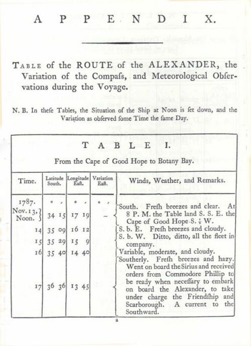
Table of the Route of the Alexander and Meteorological Observations
Arthur Phillip? · 1789
An appendix table from Phillip's 1789 book recording the route, compass variation and weather during the Alexander's voyage.
Appendix data from the voyage Phillip led to found the colony of New South Wales, published in his own account.
Free Humy account · No credit card · 120,912 sources to read
About this source
What it is
This is an appendix table from the 1789 book The Voyage of Governor Phillip to Botany Bay. It records the route of the transport ship Alexander from the Cape of Good Hope to Botany Bay, along with compass variation and meteorological observations made during the journey from November 1787.
Why it matters
The table shows the detailed scientific and navigational records kept on the voyage that brought Arthur Phillip and the First Fleet to Australia, reflecting the importance placed on accurate observation in eighteenth-century seafaring.
Look closer
- What kinds of information were thought important enough to record daily on the voyage?
- How might weather and compass readings have affected the fleet's journey?
- What does this kind of record tell you about life on board, and what does it leave out?
This document is part of the curated material that grounds the AI version of Arthur Phillip on Humy.ai — when students ask about related events, the AI can quote it and cite it.
More Arthur Phillip sources
Browse all 70 →Primary source
The Voyage of Governor Phillip to Botany Bay
Arthur Phillip · 1789
 Painting
Primary source
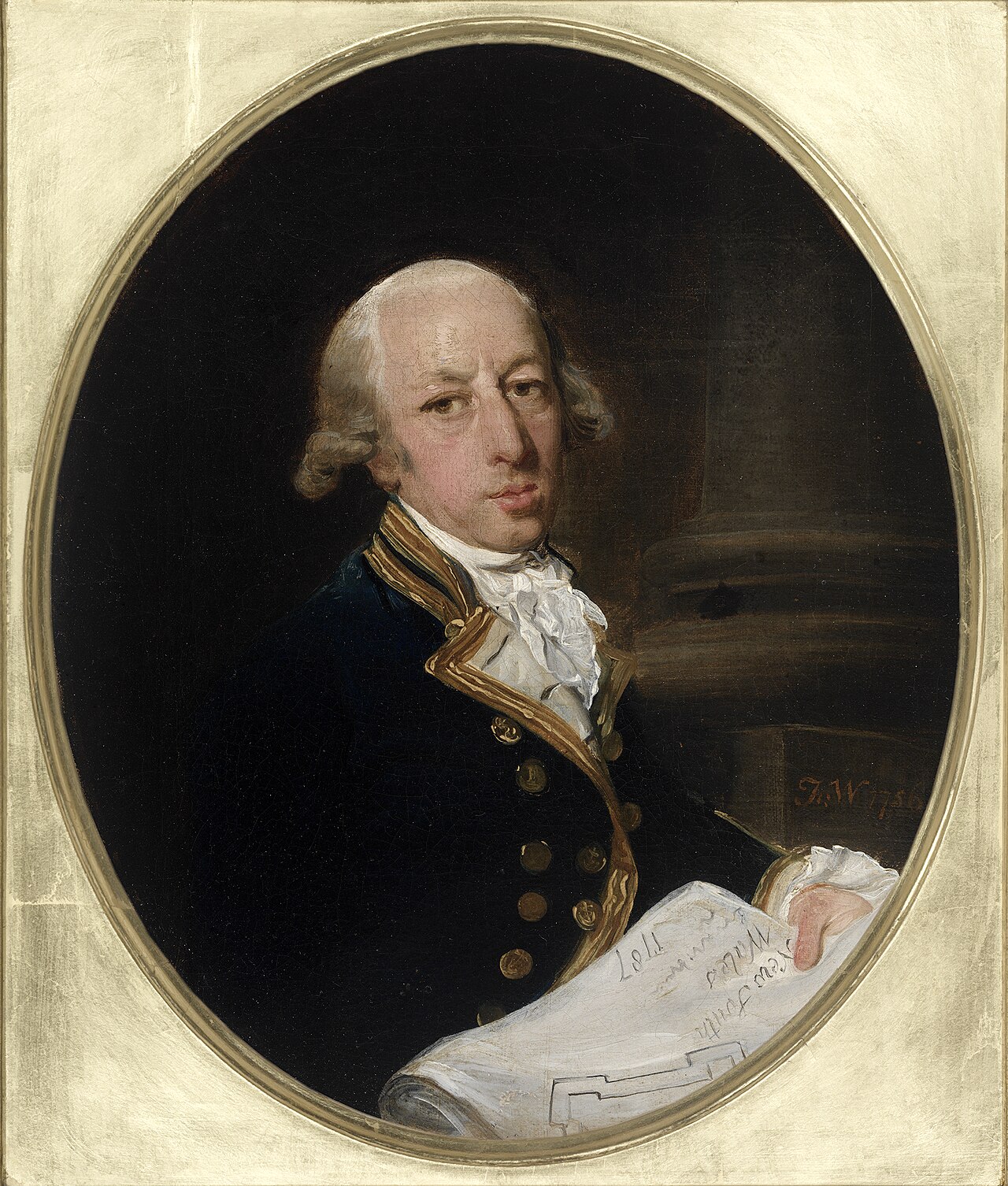
Captain Arthur Phillip, ca. 1787
Francis Wheatley · c. 1786-1787
 Painting
Primary source
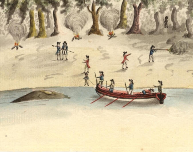
Spearing of Arthur Phillip
Port Jackson Painter · 1790
Primary source
A Narrative of the Expedition to Botany Bay
Watkin Tench · 1789

Free account
Read every Arthur Phillip source
Sign up free →
Ready when you are
Start chatting with Arthur Phillip now.
20 messages free · No credit card · Available in 50+ languages.