


Primary sourceDocument1753
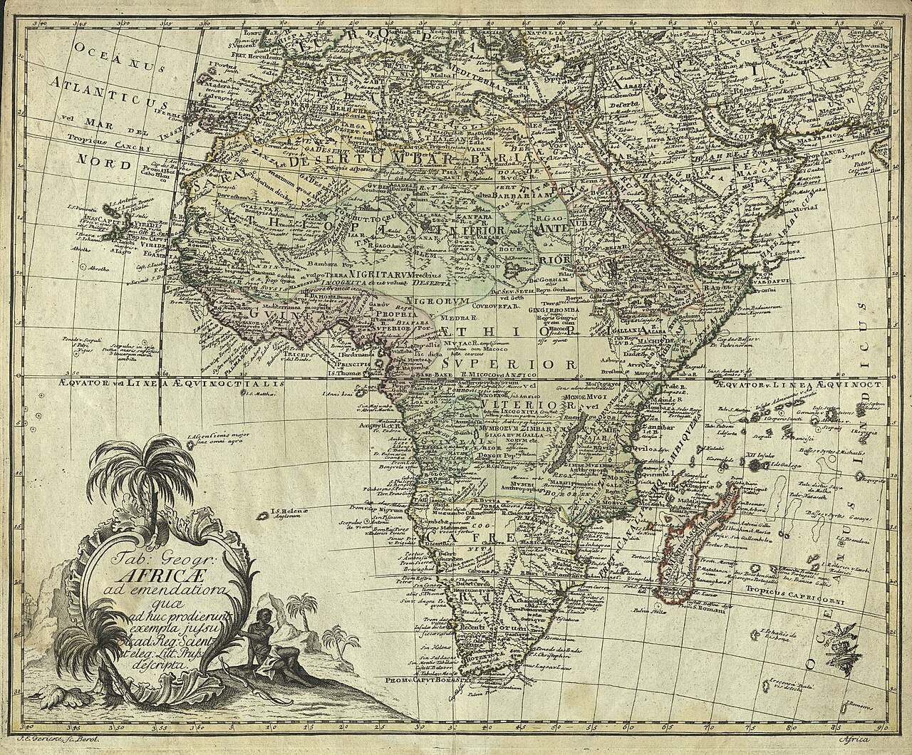
Tabula geographica Africae
Leonhard Euler · 1753
A 1753 engraved map of Africa made by Euler, part of his geographic and cartographic work.
Euler produced this map of Africa, showing his broader scientific work in cartography.
About this source
What it is
This is an antique engraved map of Africa from 1753, made by Leonhard Euler. It has a decorative title cartouche with a palm tree and a seated figure, Latin place names across the continent, and coordinate markings along the edges.
Why it matters
Though Euler is remembered chiefly for mathematics, this map is evidence that he also contributed to cartography, a field combining science, geometry and art. It reflects how European mapmakers of the time depicted distant continents, often based on incomplete information and the political interests of the era.
Look closer
- What does the decorative cartouche suggest about European views of Africa at the time?
- How might the map's accuracy have been limited by the knowledge available in the 1750s?
- What clues on the map show it was made for a European audience?
This document is part of the curated material that grounds the AI version of Leonhard Euler on Humy.ai — when students ask about related events, the AI can quote it and cite it.
More Leonhard Euler sources
Browse all 78 →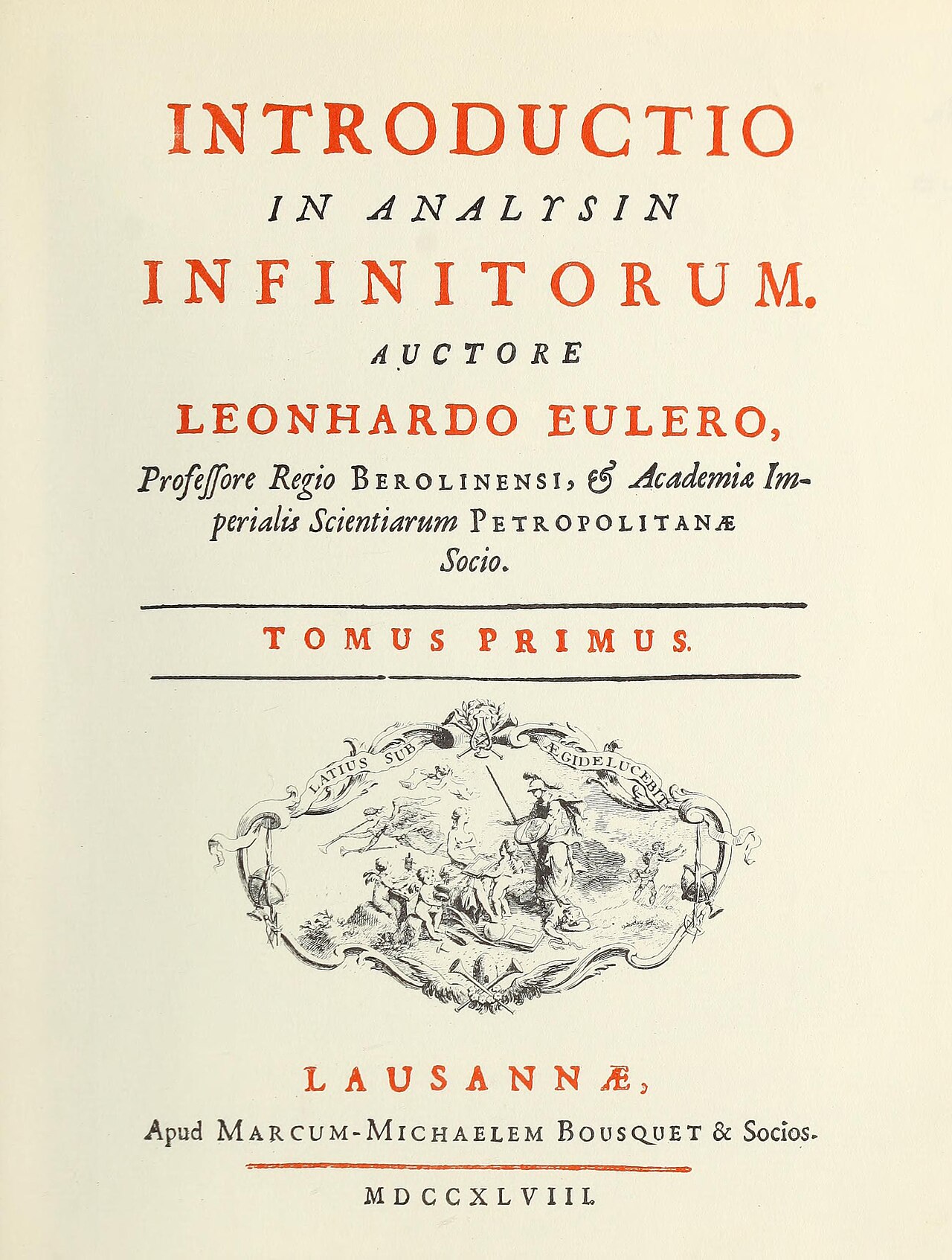 Book
Primary source
Introductio in analysin infinitorum
Leonhard Euler · 1748
 Painting
Primary source
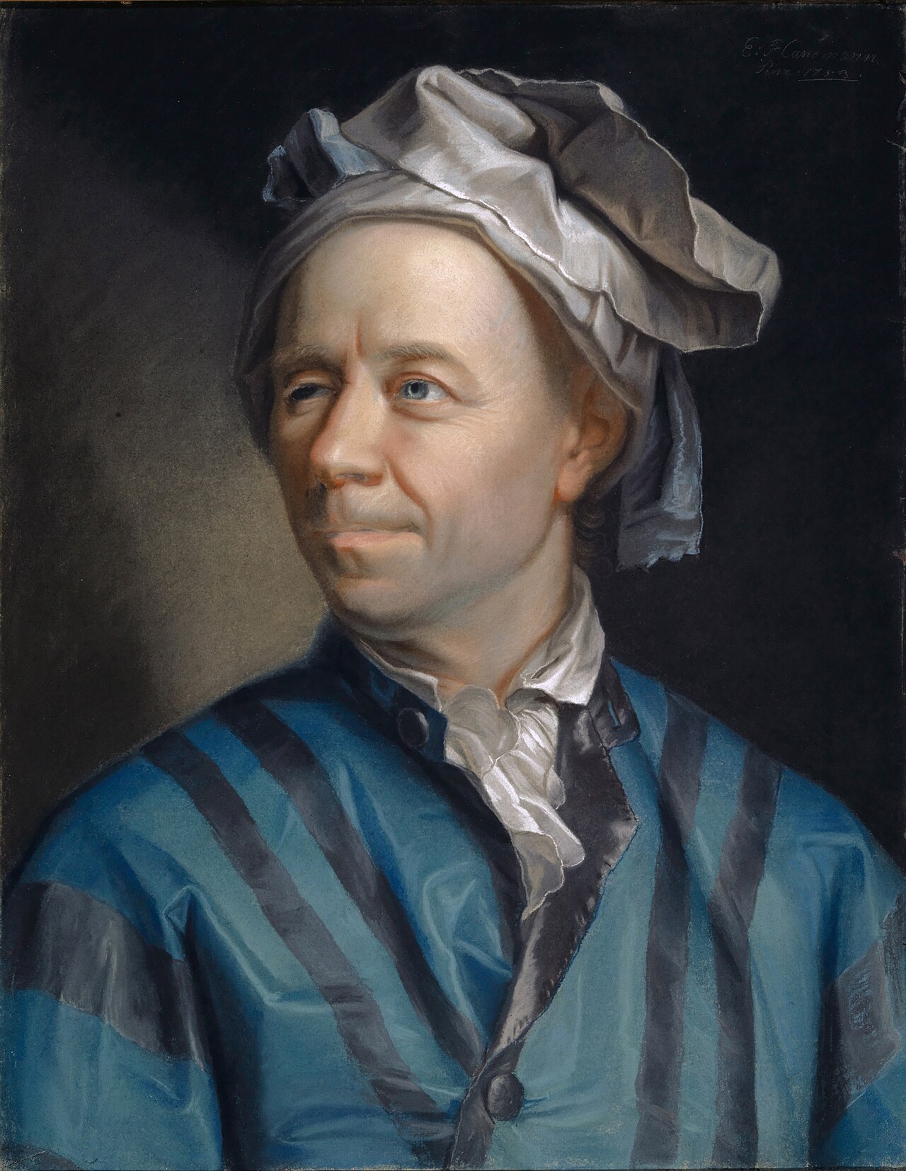
Portrait of Leonhard Euler
Jakob Emanuel Handmann · 1753
 Document
Primary source
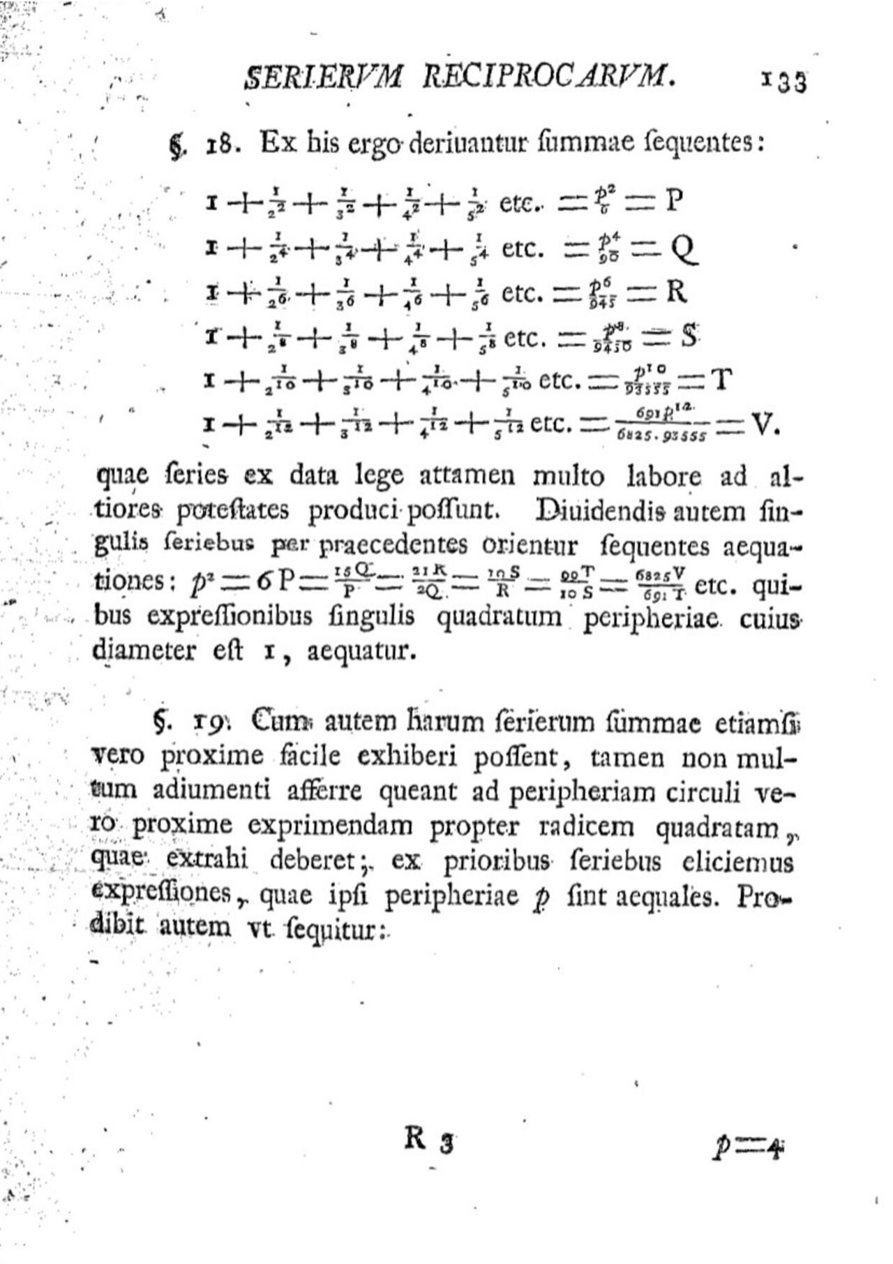
De summis serierum reciprocarum
Leonhard Euler
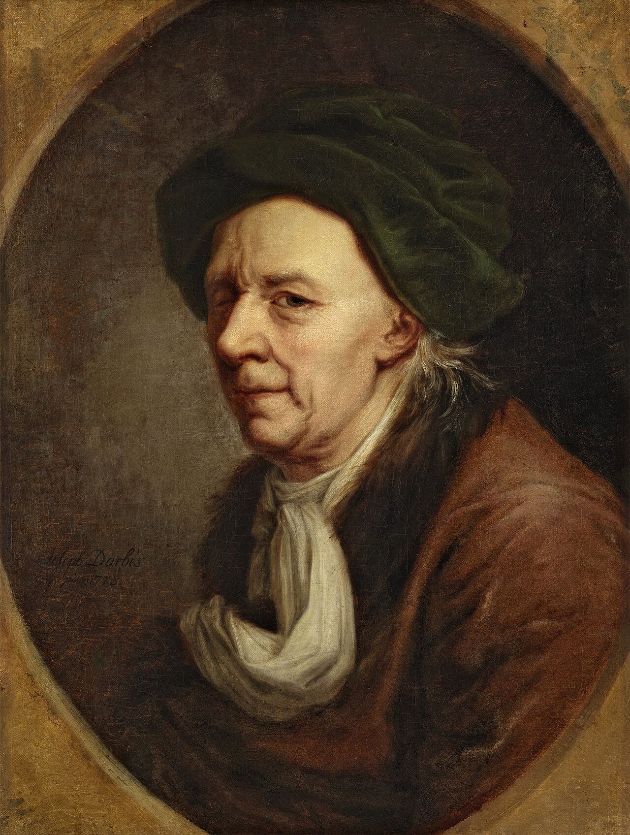 Painting
Primary source
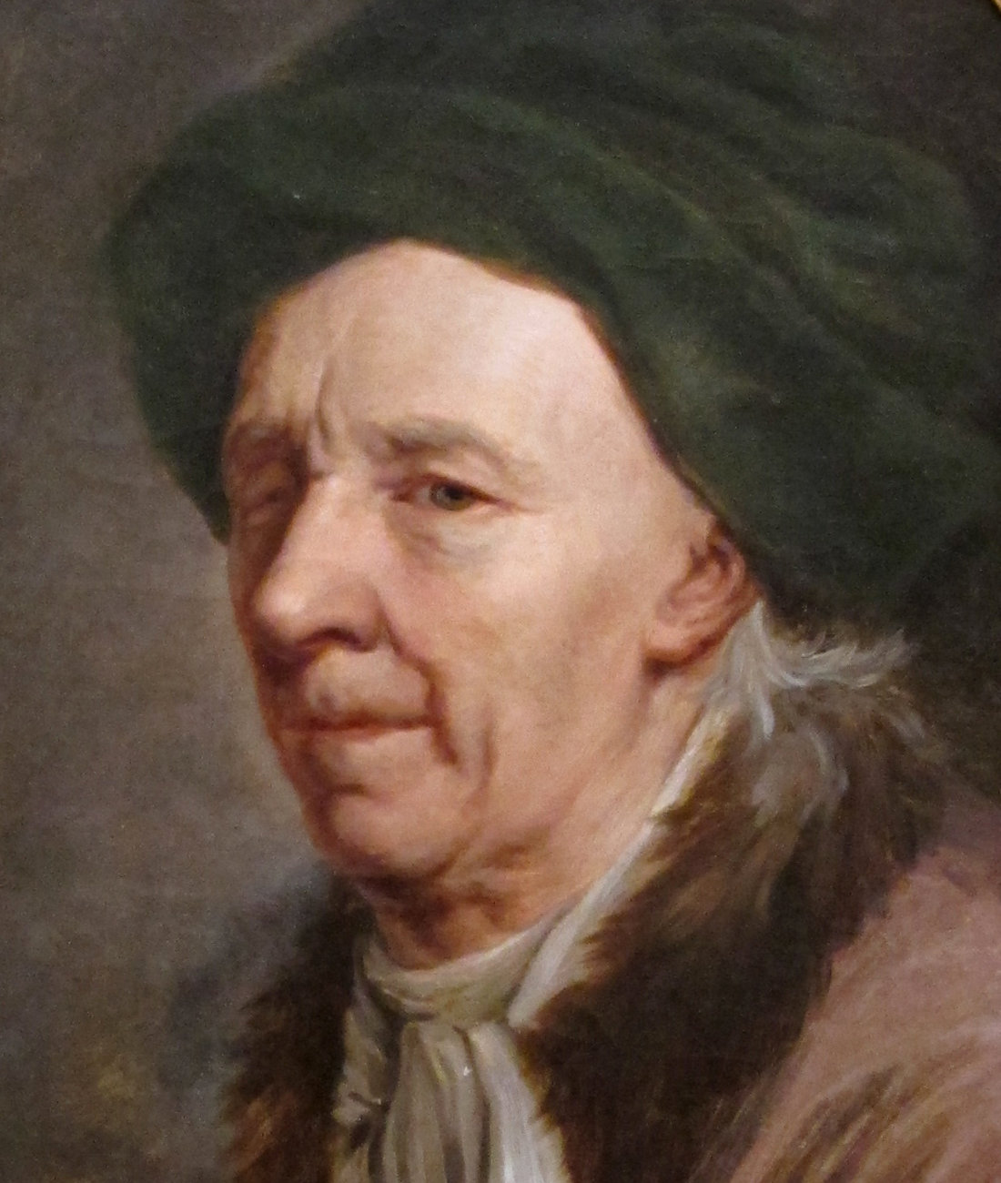
Leonhard Euler
Joseph Friedrich August Darbes · 1778
Free account
Read every Leonhard Euler source
Sign up free →
Ready when you are
Start chatting with Leonhard Euler now.
20 messages free · No credit card · Available in 50+ languages.