


Primary sourceDocumentc. 1760
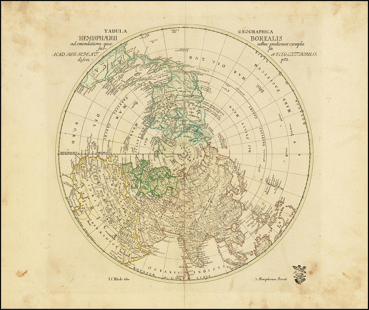
Tabula Geographica Hemisphaerii Borealis
Leonhard Euler · c. 1760
An engraved map of the northern hemisphere attributed to Euler, part of his work in geography and cartography.
Attributed to Euler, this map illustrates his geographical work alongside his mathematics.
About this source
What it is
This is an engraved map titled Tabula Geographica Hemisphaerii Borealis, showing the northern hemisphere as a circle with lines of latitude and longitude, coastlines and place names. It is attributed to Leonhard Euler and dated to around 1760.
Why it matters
Euler is famous for his contributions to mathematics and physics, but maps like this show he also applied his skills to geography and cartography, fields that depended on mathematical calculation for accurate projections. It is a reminder that 18th-century science was less divided into separate subjects than it is today.
Look closer
- What mathematical knowledge would be needed to draw a map like this accurately?
- What details does the map include, and what might it leave out or get wrong?
- Why might a map of the whole northern hemisphere have been useful in the 1700s?
This document is part of the curated material that grounds the AI version of Leonhard Euler on Humy.ai — when students ask about related events, the AI can quote it and cite it.
More Leonhard Euler sources
Browse all 78 →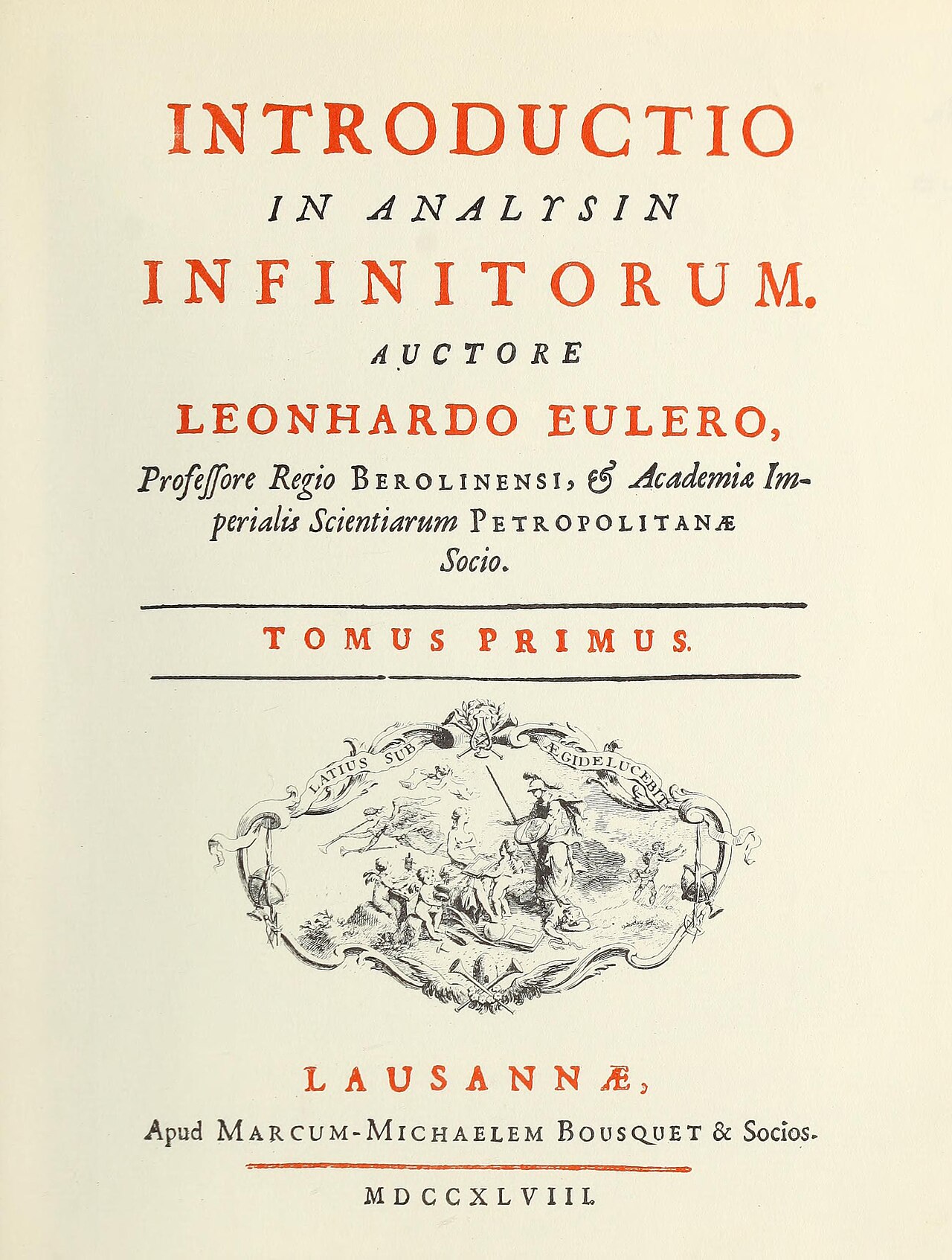 Book
Primary source
Introductio in analysin infinitorum
Leonhard Euler · 1748
 Painting
Primary source
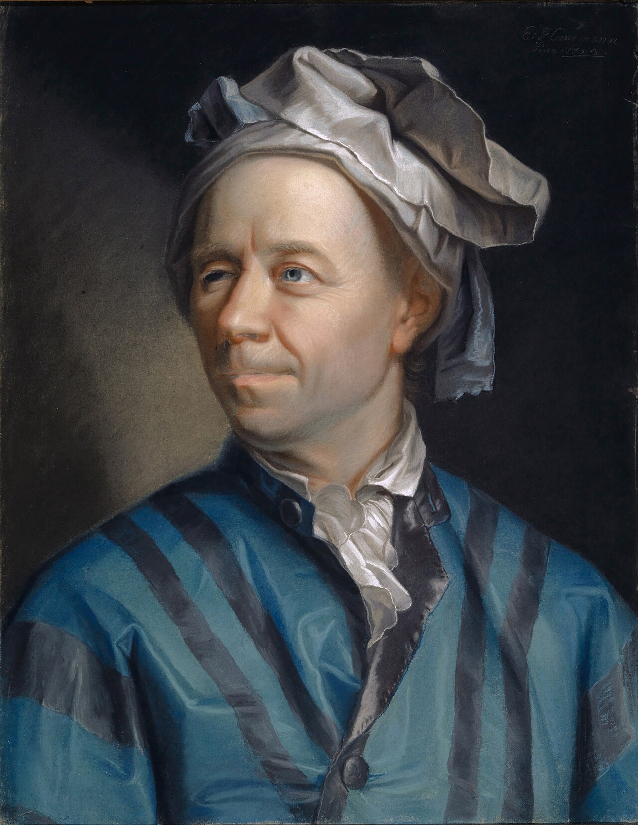
Portrait of Leonhard Euler
Jakob Emanuel Handmann · 1753
 Document
Primary source
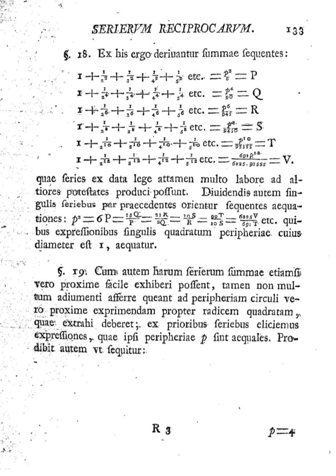
De summis serierum reciprocarum
Leonhard Euler
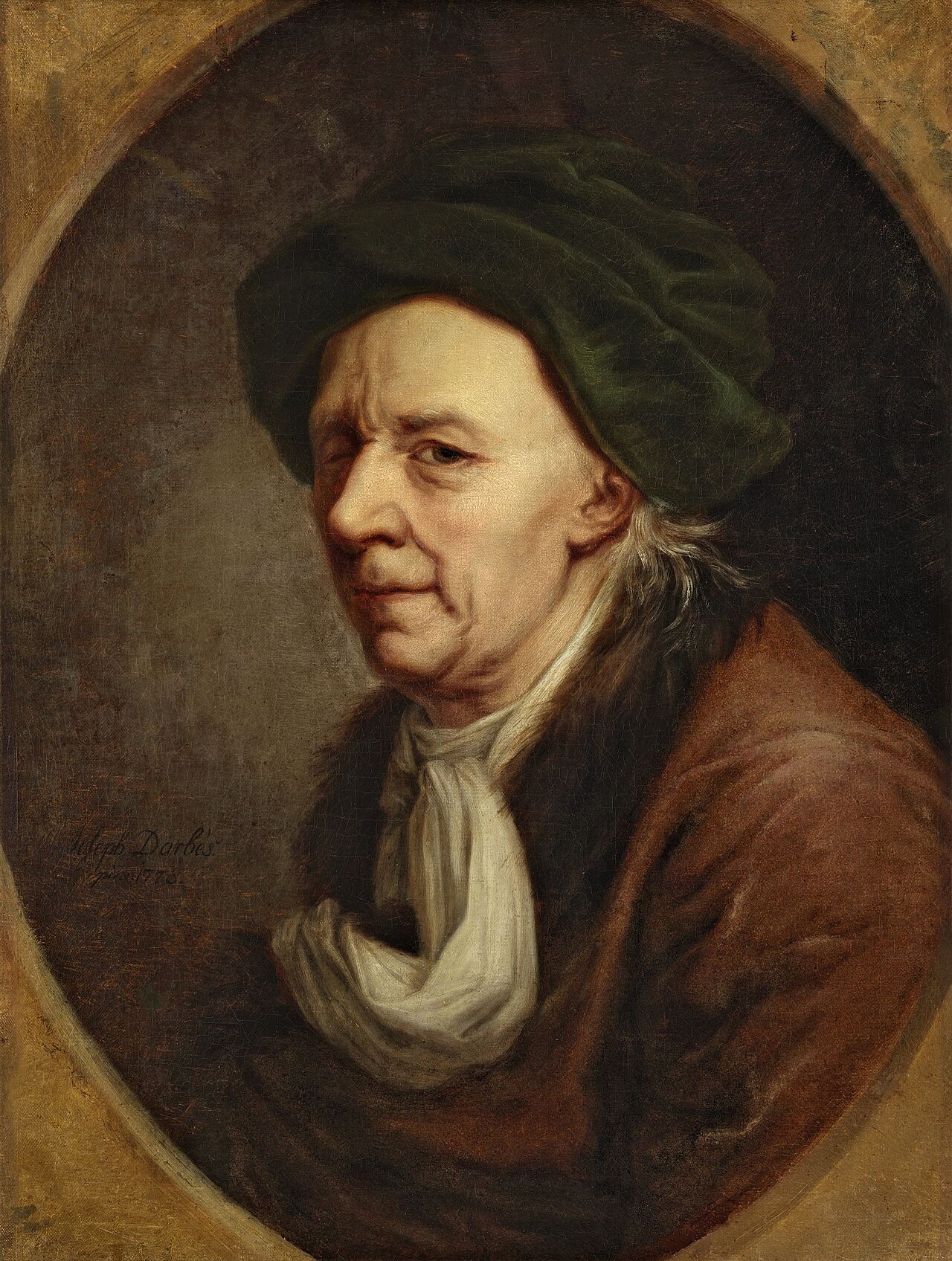 Painting
Primary source
Leonhard Euler
Joseph Friedrich August Darbes · 1778
Free account
Read every Leonhard Euler source
Sign up free →
Ready when you are
Start chatting with Leonhard Euler now.
20 messages free · No credit card · Available in 50+ languages.