


Primary sourceArtifact1760 (atlas first published 1753)
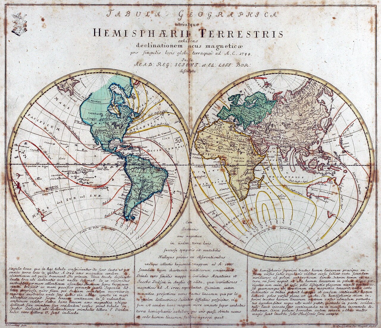
Tabula Geographica utriusque Hemisphaerii Terrestris
Leonhard Euler · 1760 (atlas first published 1753)
A world map made by Euler for his school atlas, showing both hemispheres with lines marking magnetic declination.
A map Euler made for his school atlas, showing his work in geography and cartography.
About this source
What it is
This is an engraved double-hemisphere world map made by Leonhard Euler, showing the Western and Eastern Hemispheres with curved lines marking magnetic declination. It comes from his school atlas, the Geographischer Atlas, first published in Berlin and reissued in 1760.
Why it matters
The map shows that Euler's work went beyond mathematics into cartography and geography, including scientific features like magnetic declination lines that were useful for navigation. It reflects his role as an educator producing teaching materials.
Look closer
- Why might a mathematician be interested in making maps for schools?
- What do the colored lines on the map tell you about what the mapmaker thought was important?
- What parts of the world might be shown less accurately, and why?
This artifact is part of the curated material that grounds the AI version of Leonhard Euler on Humy.ai — when students ask about related events, the AI can quote it and cite it.
More Leonhard Euler sources
Browse all 78 →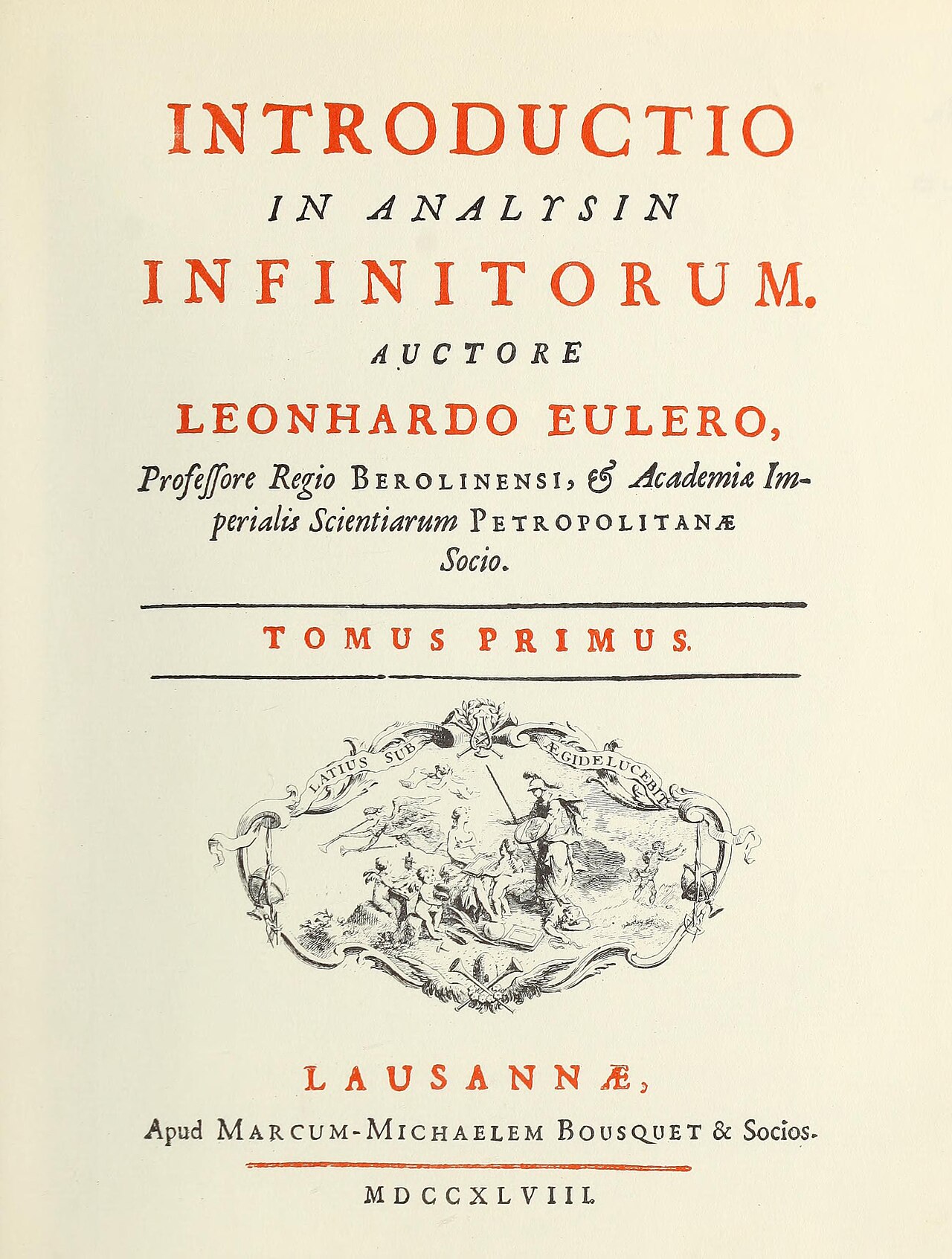 Book
Primary source
Introductio in analysin infinitorum
Leonhard Euler · 1748
 Painting
Primary source
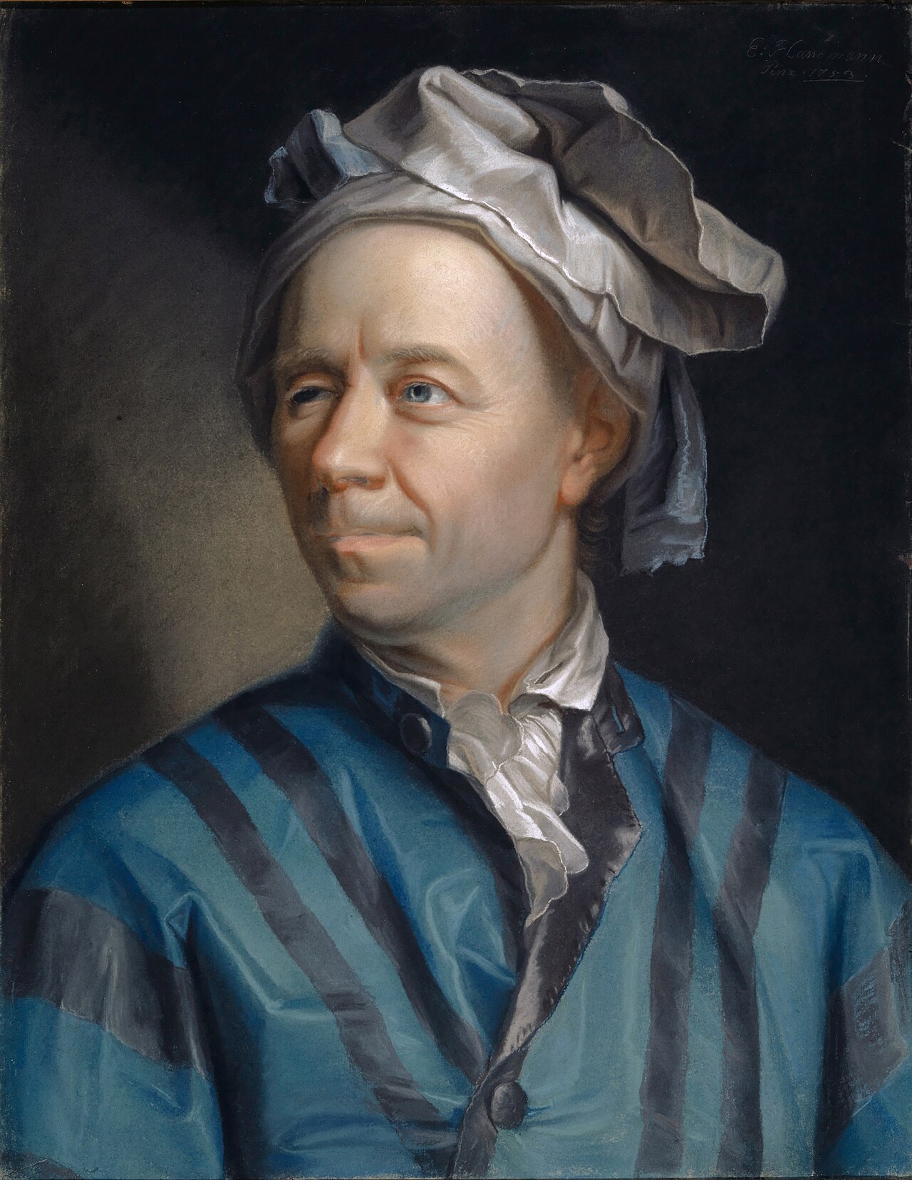
Portrait of Leonhard Euler
Jakob Emanuel Handmann · 1753
 Document
Primary source
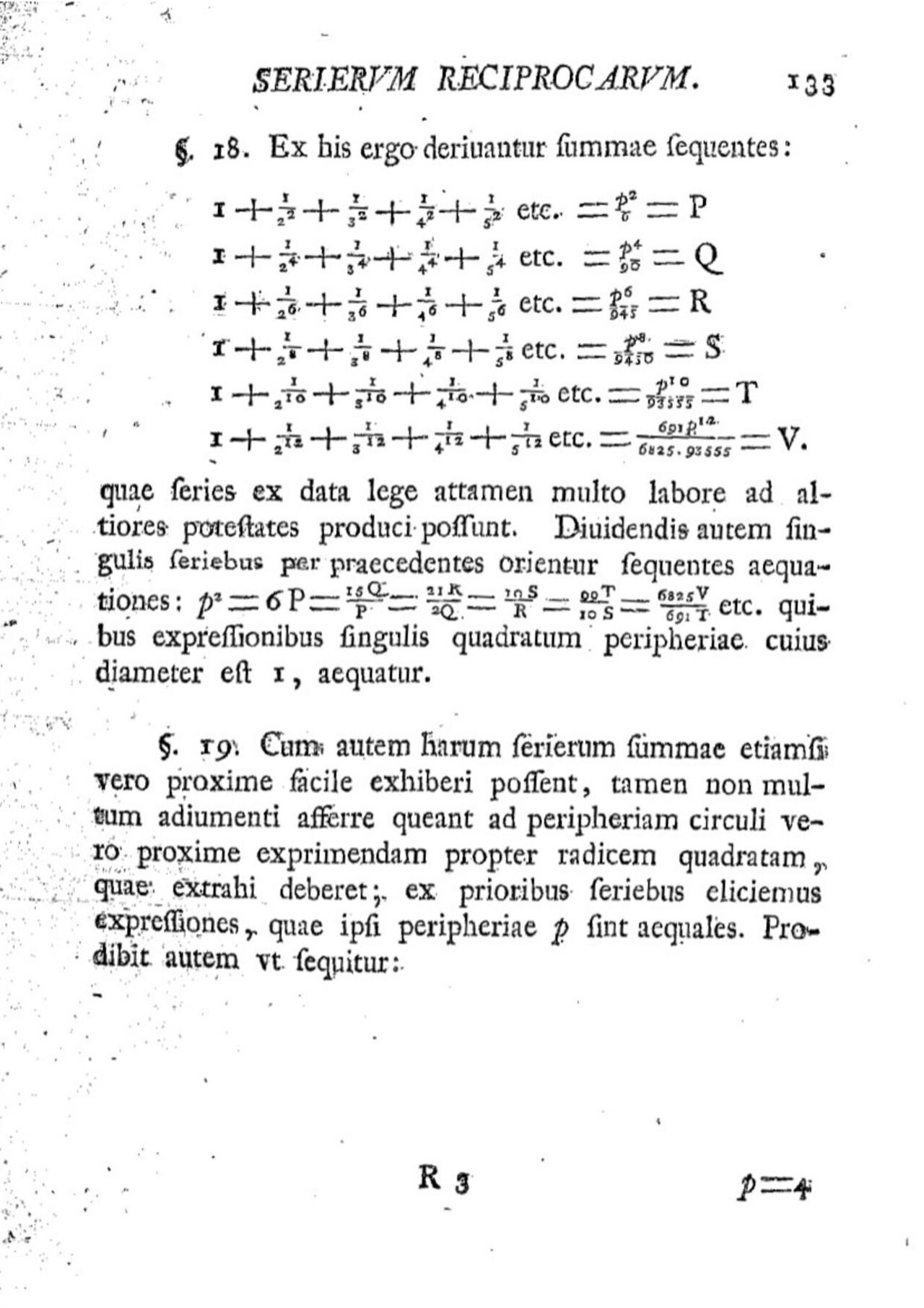
De summis serierum reciprocarum
Leonhard Euler
 Painting
Primary source
Leonhard Euler
Joseph Friedrich August Darbes · 1778

Free account
Read every Leonhard Euler source
Sign up free →
Ready when you are
Start chatting with Leonhard Euler now.
20 messages free · No credit card · Available in 50+ languages.