


Secondary sourceDocument
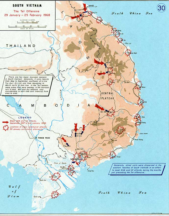
Tet Offensive 1968 Map
An unlabeled map showing the spread of major attacks during the 1968 Tet Offensive, a campaign directed in part by Giáp.
Depicts the geographic scope of the Tet Offensive, which Giáp helped direct as a North Vietnamese commander.
Free Humy account · No credit card · 118,535 sources to read
About this source
What it is
This is a map titled 'South Vietnam: The Tet Offensive, 29 January - 25 February 1968', showing South Vietnam, Cambodia, Laos and Thailand. Red arrows mark major North Vietnamese Army and Viet Cong attacks, and starburst symbols mark locations of major communist assaults, along with notes on monsoon seasons and the dispersal of allied forces.
Why it matters
The Tet Offensive was a coordinated campaign involving forces under the command of leaders including Võ Nguyên Giáp. This map helps students visualize how widely the attacks were spread across South Vietnam and how terrain and weather affected military planning.
Look closer
- What does the spread of arrows and symbols tell you about the coordination needed to launch this offensive?
- Why do you think the map includes notes about monsoon seasons?
- What is left out of a map like this that a photograph or a personal account might show instead?
This document is part of the curated material that grounds the AI version of Võ Nguyên Giáp on Humy.ai — when students ask about related events, the AI can quote it and cite it.
More Võ Nguyên Giáp sources
Browse all 59 →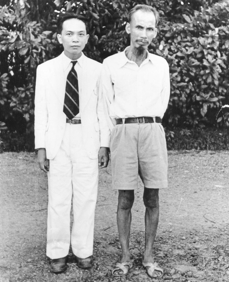 Photograph
Primary source
Photograph of Giáp and Ho Chi Minh
 Photograph
Primary source
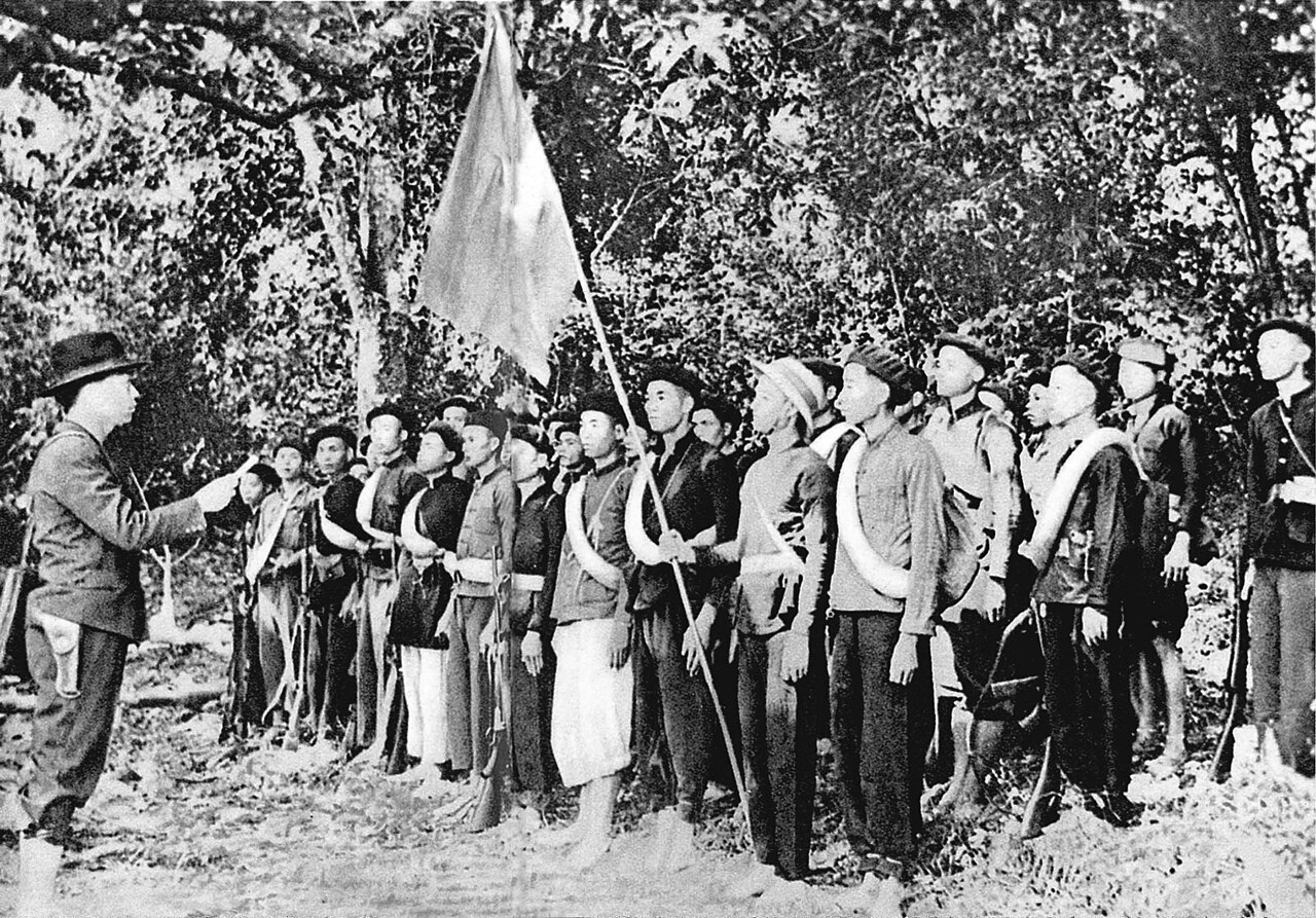
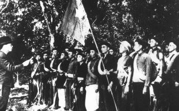
Vo Nguyen Giap with Viet Minh forces, 1944
Hoàng Văn Đức · 1944
 Speech
Primary source
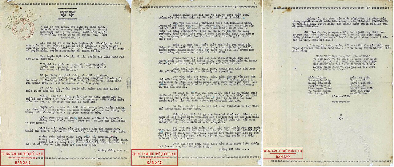
Declaration of Independence of the Democratic Republic of Vietnam
Ho Chi Minh · 2 September 1945
 Photograph
Primary source
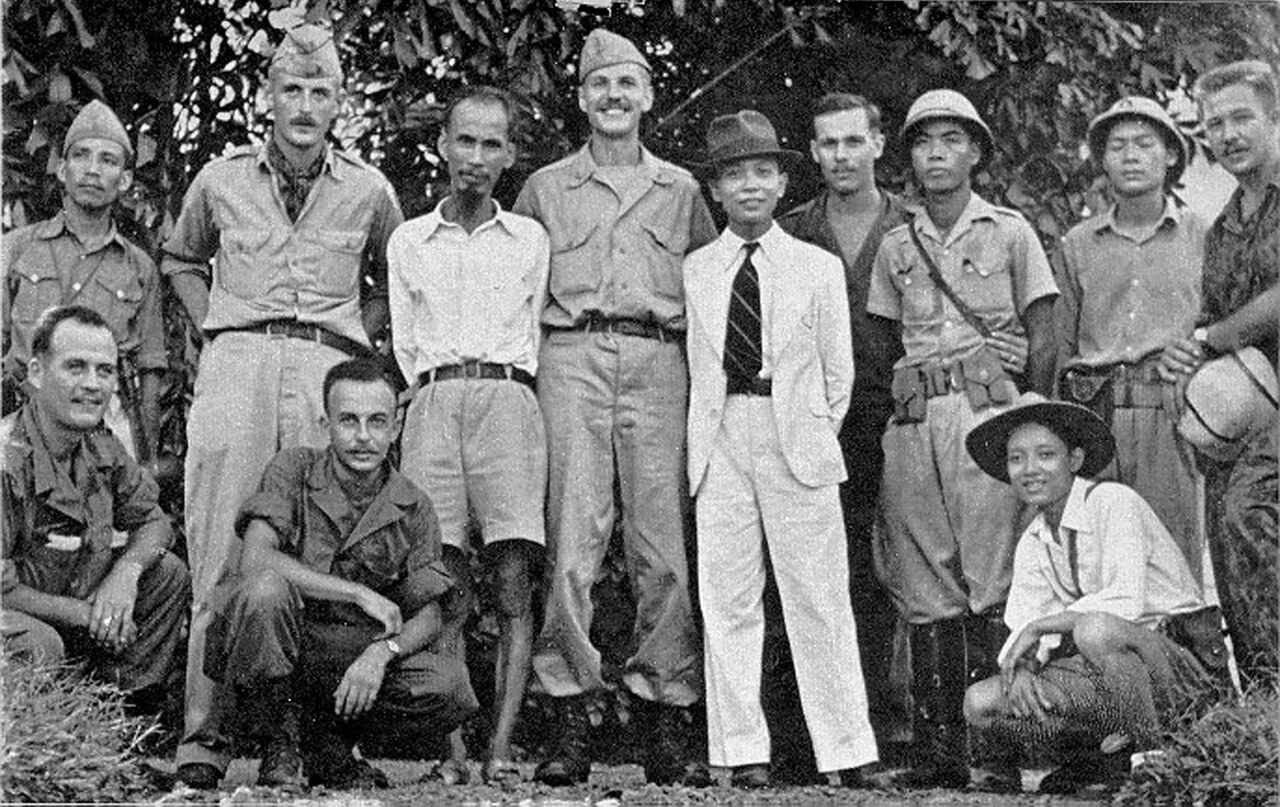
Photograph of Ho Chi Minh with the OSS Deer Team
OSS Deer Team member · 1945
Free account
Read every Võ Nguyên Giáp source
Sign up free →
Ready when you are
Start chatting with Võ Nguyên Giáp now.
20 messages free · No credit card · Available in 50+ languages.