


Secondary sourceDocument31 January 1968 (map published 2017)
Tet Offensive Attack on Long Binh and Bien Hoa
US Army Center of Military History · 31 January 1968 (map published 2017)
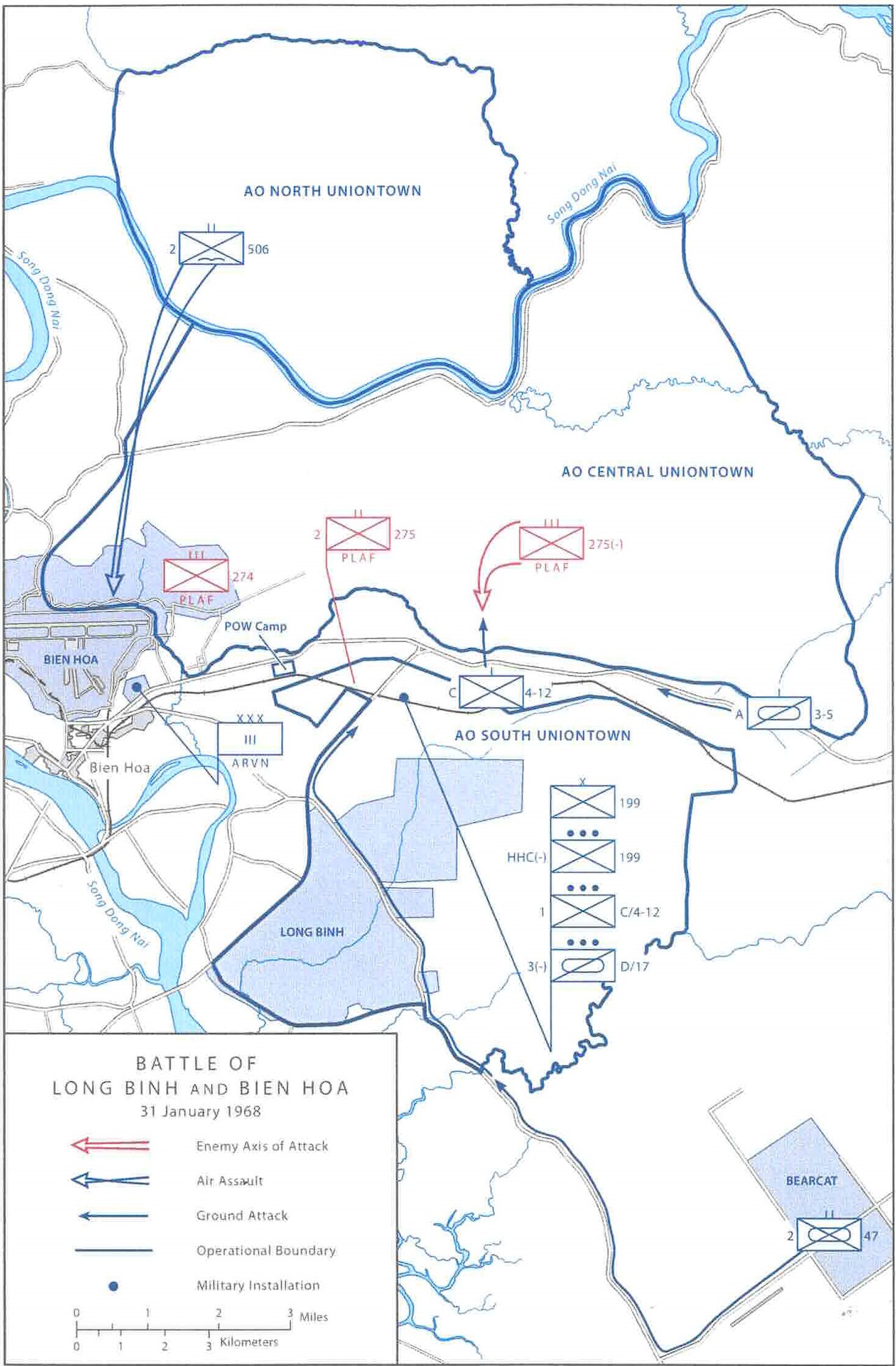
A US Army map of the 1968 Tet Offensive attack on Long Binh and Bien Hoa, part of the campaign Giáp helped direct.
Documents another battle within the Tet Offensive, the campaign associated with Giáp's military command.
About this source
What it is
This military situation map, produced by the US Army Center of Military History, shows the Battle of Long Binh and Bien Hoa during the Tet Offensive on 31 January 1968. It uses blue and red unit symbols, arrows for attack routes, and operational boundaries around Bien Hoa, Long Binh, and Bearcat.
Why it matters
This map documents another part of the Tet Offensive, the coordinated campaign of 1968 in which Võ Nguyên Giáp played a leading role as a North Vietnamese military commander. Studying such maps helps students see how the offensive unfolded across multiple locations at once and how military historians later reconstructed events.
Look closer
- How does this map help you understand the scale of the Tet Offensive?
- Why would the US Army create a map like this after the battle?
- What might be left out of a map that focuses only on military movements?
This document is part of the curated material that grounds the AI version of Võ Nguyên Giáp on Humy.ai — when students ask about related events, the AI can quote it and cite it.
More Võ Nguyên Giáp sources
Browse all 59 →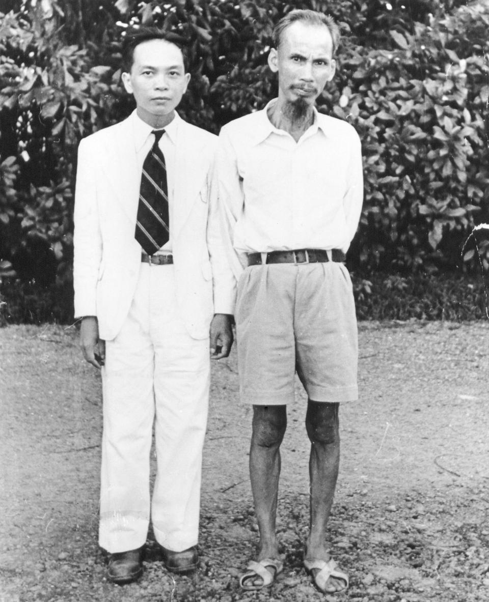 Photograph
Primary source
Photograph of Giáp and Ho Chi Minh
 Photograph
Primary source
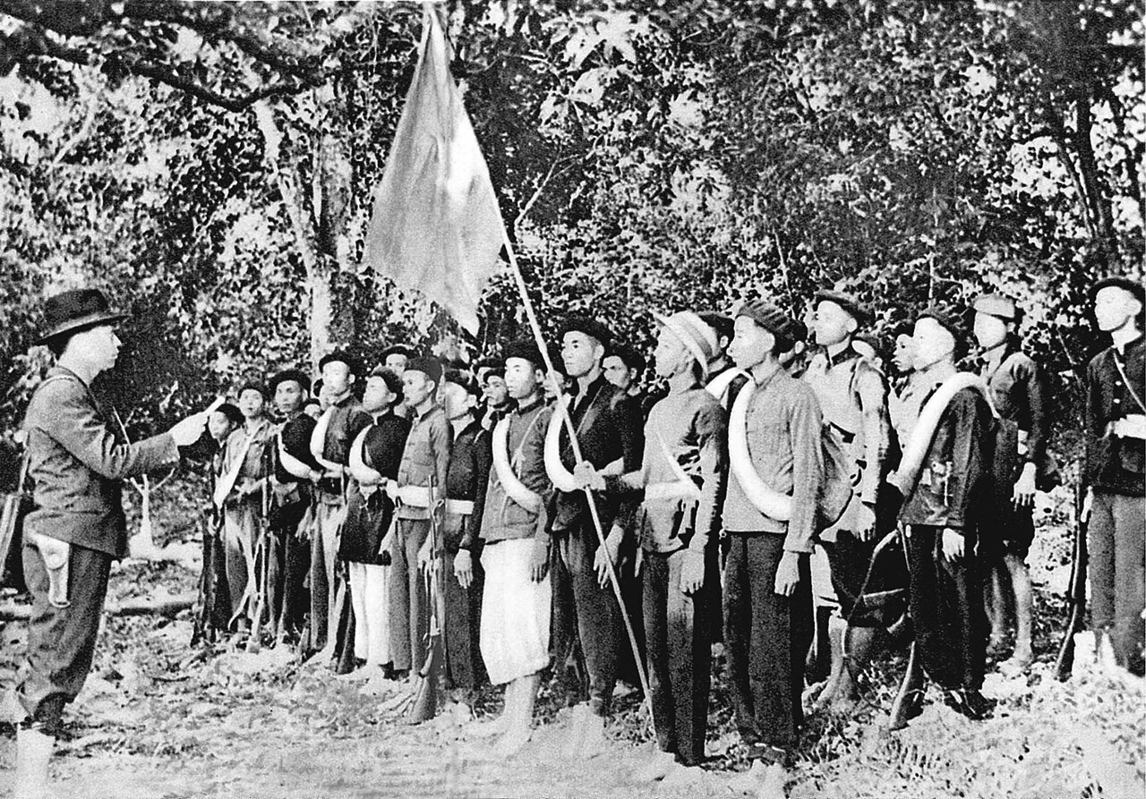
Vo Nguyen Giap with Viet Minh forces, 1944
Hoàng Văn Đức · 1944
 Speech
Primary source
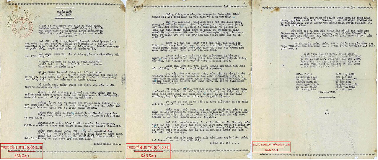
Declaration of Independence of the Democratic Republic of Vietnam
Ho Chi Minh · 2 September 1945
 Photograph
Primary source
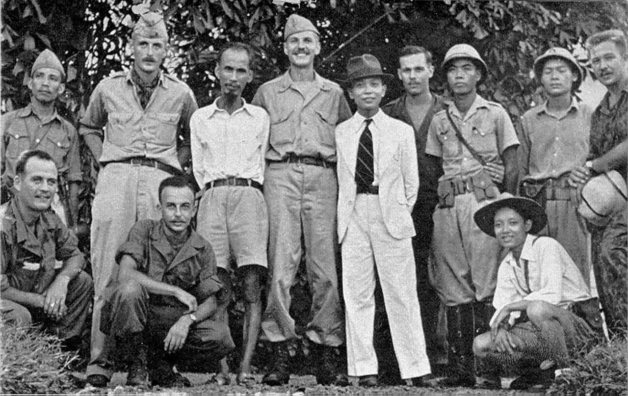
Photograph of Ho Chi Minh with the OSS Deer Team
OSS Deer Team member · 1945
Free account
Read every Võ Nguyên Giáp source
Sign up free →
Ready when you are
Start chatting with Võ Nguyên Giáp now.
20 messages free · No credit card · Available in 50+ languages.