


Secondary sourceArtifact12 June 1896 (photograph); globe dated 1542
The Ulpius Globe of 1542
Unknown author · 12 June 1896 (photograph); globe dated 1542
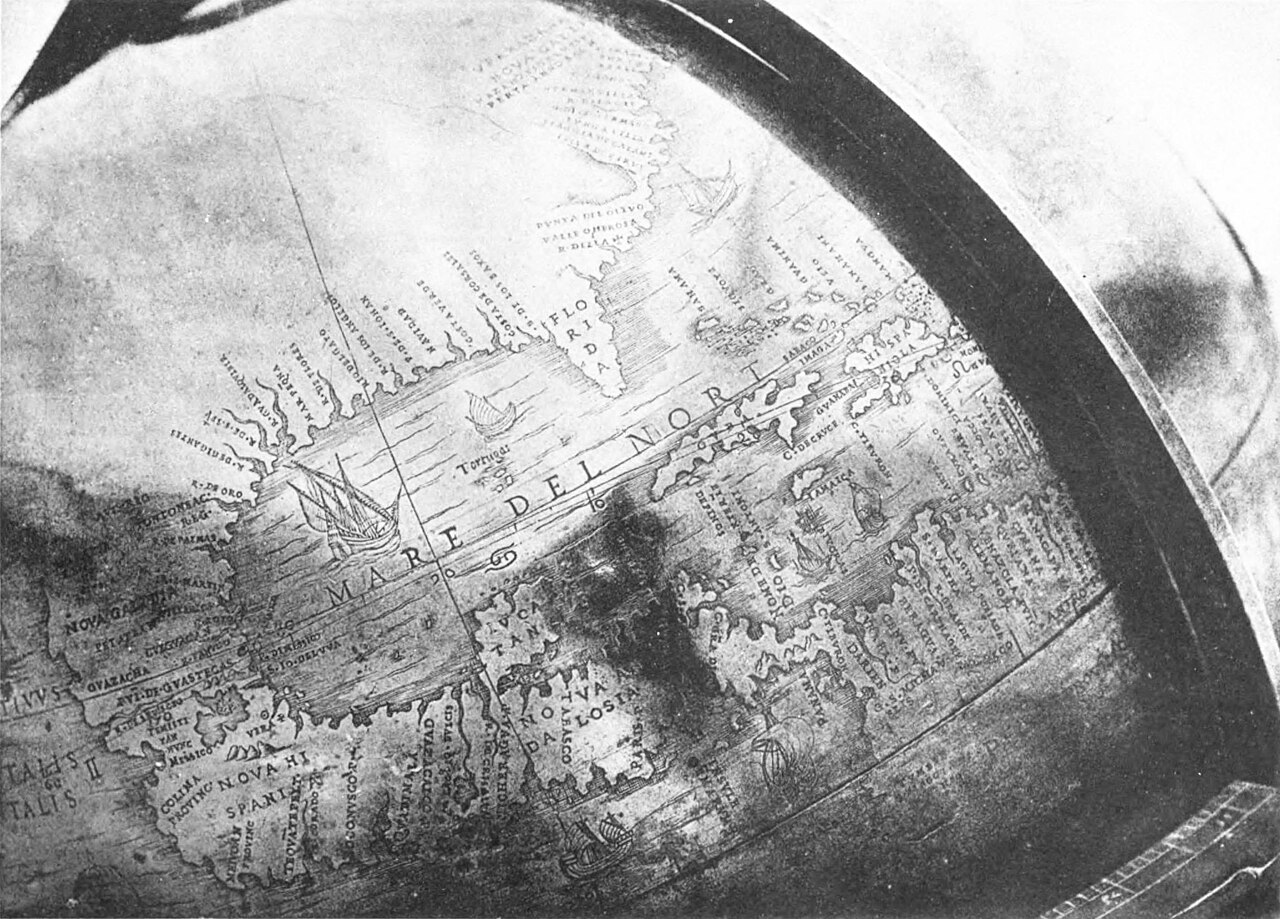
A photograph of part of an early globe made the year after Coronado's expedition, showing geographic knowledge of the time.
This globe, made the year after Coronado's expedition, shows the geographic knowledge his journey helped shape.
About this source
What it is
This is a black-and-white photograph of part of the engraved surface of the Ulpius globe, dated to 1542, the year after Coronado's expedition ended. The photograph itself was made in 1896. The globe shows the outline of Florida, the label 'Mare del Norte' over the ocean, ships, and many place names.
Why it matters
Globes like this one reveal what European mapmakers understood, and misunderstood, about the geography of the Americas around the time of Coronado's journey. They show how exploration and mapmaking developed together, with explorers' reports feeding into the knowledge mapmakers recorded.
Look closer
- What does the mix of accurate coastlines and unfamiliar labels tell you about 16th-century geographic knowledge?
- Why might this globe be useful for understanding the world Coronado explored?
- What is missing from the globe that a modern map would include?
This artifact is part of the curated material that grounds the AI version of Francisco Vázquez de Coronado on Humy.ai — when students ask about related events, the AI can quote it and cite it.
More Francisco Vázquez de Coronado sources
Meet the AI Francisco Vázquez de Coronado →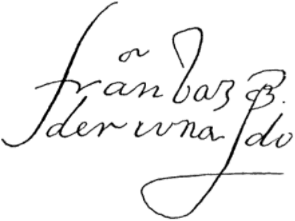 Document
Primary source
Signature of Francisco Vázquez de Coronado
Francisco Vázquez de Coronado
Primary source
Relación de la jornada de Cíbola
Pedro de Castañeda de Nájera · c. 1560s (surviving copy 1596)
Primary source
Letter of Viceroy Antonio de Mendoza to Charles V
Antonio de Mendoza · 17 April 1540
 Book
Secondary source
Relación de los naufragios y comentarios
Álvar Núñez Cabeza de Vaca · 1906 edition (text from the 16th century)
 Artifact
Secondary source
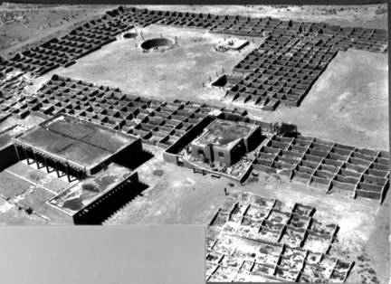
Coronado State Monument
1940 (site dedicated); pueblo occupied c. 1325–late 16th century
Ready when you are
Start chatting with Francisco Vázquez de Coronado now.
20 messages free · No credit card · Available in 50+ languages.