


Secondary sourceDocument1570
Theatrum Orbis Terrarum
Abraham Ortelius · 1570
Abraham Ortelius's pioneering 1570 atlas, whose maps are thought to have supplied the geography for Marlowe's Tamburlaine.
This atlas is believed to have supplied the geography Marlowe used in writing Tamburlaine's conquests.
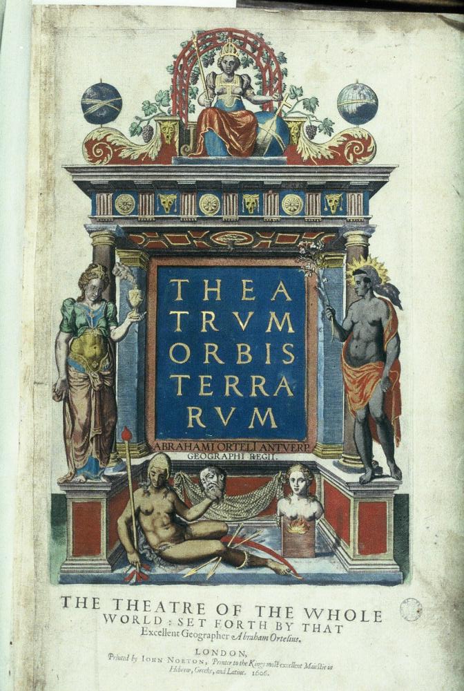
About this source
What it is
This is an atlas compiled by the cartographer Abraham Ortelius, first printed in Antwerp in 1570 and considered the first true modern atlas. It gathered maps by many different cartographers into a single uniform book, with descriptive text for each region.
Why it matters
Scholars have shown that Ortelius's atlas supplied Marlowe with the geography used in his play Tamburlaine, revealing how Marlowe built his dramatic world not from travel but from books and maps available to an educated Elizabethan writer. The atlas also represents the wider explosion of geographic knowledge in Marlowe's lifetime.
Look closer
- What does it mean that a playwright might construct the setting of a play from an atlas rather than personal travel?
- Why might combining many cartographers' maps into one uniform book have been valuable to readers and writers of the time?
- What does the atlas's popularity across many editions and languages suggest about Elizabethan curiosity about the world?
This document is part of the curated material that grounds the AI version of Christopher Marlowe on Humy.ai — when students ask about related events, the AI can quote it and cite it.
More Christopher Marlowe sources
Browse all 57 →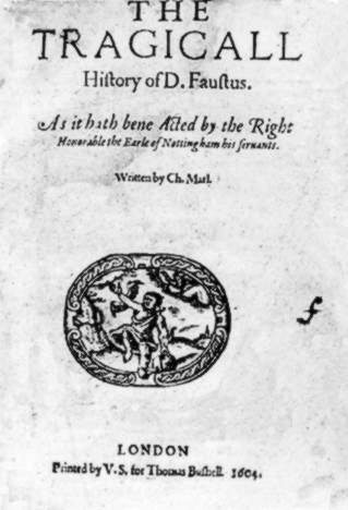 Book
Primary source
The Tragical History of Doctor Faustus
Christopher Marlowe · 1604
 Book
Secondary source
Tamburlaine the Great
Christopher Marlowe · 1587 or 1588
 Book
Primary source
The Passionate Shepherd to His Love
Christopher Marlowe · 1599
 Painting
Primary source
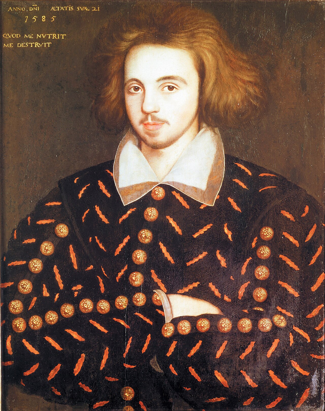
Portrait of a Gentleman
1585
Free account
Read every Christopher Marlowe source
Sign up free →
Ready when you are
Start chatting with Christopher Marlowe now.
20 messages free · No credit card · Available in 50+ languages.