


Primary sourceDocument19th century
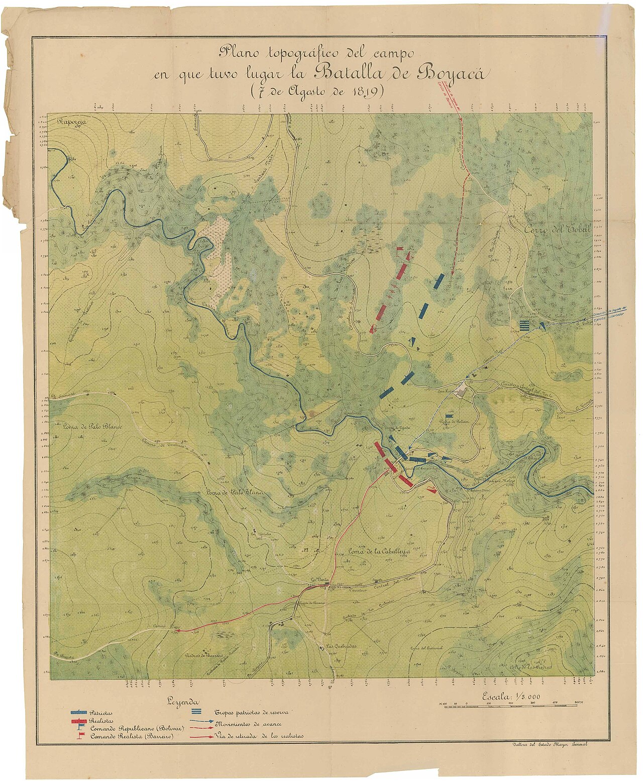
Topographic Plan of the Battle of Boyacá Field
Talleres del Estado Mayor General · 19th century
A military map of the battlefield where the Battle of Boyacá was fought on 7 August 1819, showing troop positions.
This map depicts the battlefield where Santander's forces fought during the decisive Battle of Boyacá.
About this source
What it is
This is a colored topographic map titled 'Plano topográfico del campo en que tuvo lugar la Batalla de Boyacá (7 de agosto de 1819).' It was produced by the Talleres del Estado Mayor General in the 19th century. It shows terrain, a river, hills, and blue markers for Patriot units and red markers for Realist units, with a legend and scale.
Why it matters
The Battle of Boyacá was a decisive moment in the struggle for independence in Colombia. Santander commanded forces in this battle, which helped secure the path to independence. Maps like this help historians and students understand how armies moved and fought on a specific piece of ground.
Look closer
- What do the colors blue and red tell you about the two sides?
- Why might military planners have made a map like this after the battle?
- What details does the map leave out that a soldier on the ground might have noticed?
This document is part of the curated material that grounds the AI version of Francisco de Paula Santander on Humy.ai — when students ask about related events, the AI can quote it and cite it.
More Francisco de Paula Santander sources
Browse all 55 →Primary source
Colombian Constitution of 1821
Congress of Cúcuta · 30 August 1821
 Painting
Primary source
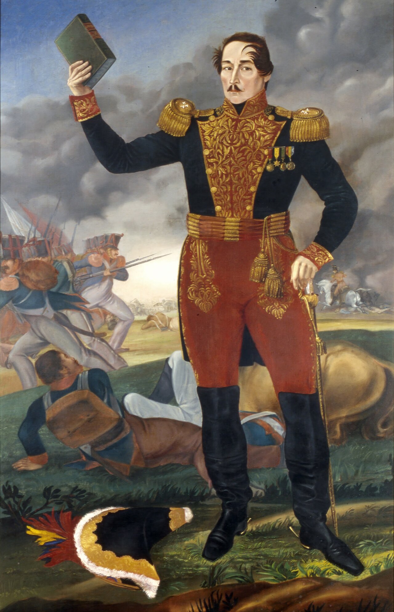
Francisco de Paula Santander
José María Espinosa · 1853
 Painting
Secondary source
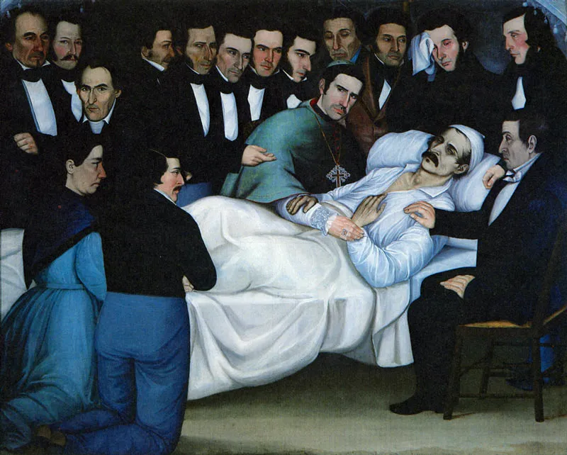
Muerte de Francisco de Paula Santander
Luis García Hevia · 6 May 1840
 Book
Primary source
Historia de la revolución de la República de Colombia
José Manuel Restrepo Veléz
Free account
Read every Francisco de Paula Santander source
Sign up free →
Ready when you are
Start chatting with Francisco de Paula Santander now.
20 messages free · No credit card · Available in 50+ languages.