


Primary sourceDocument1920
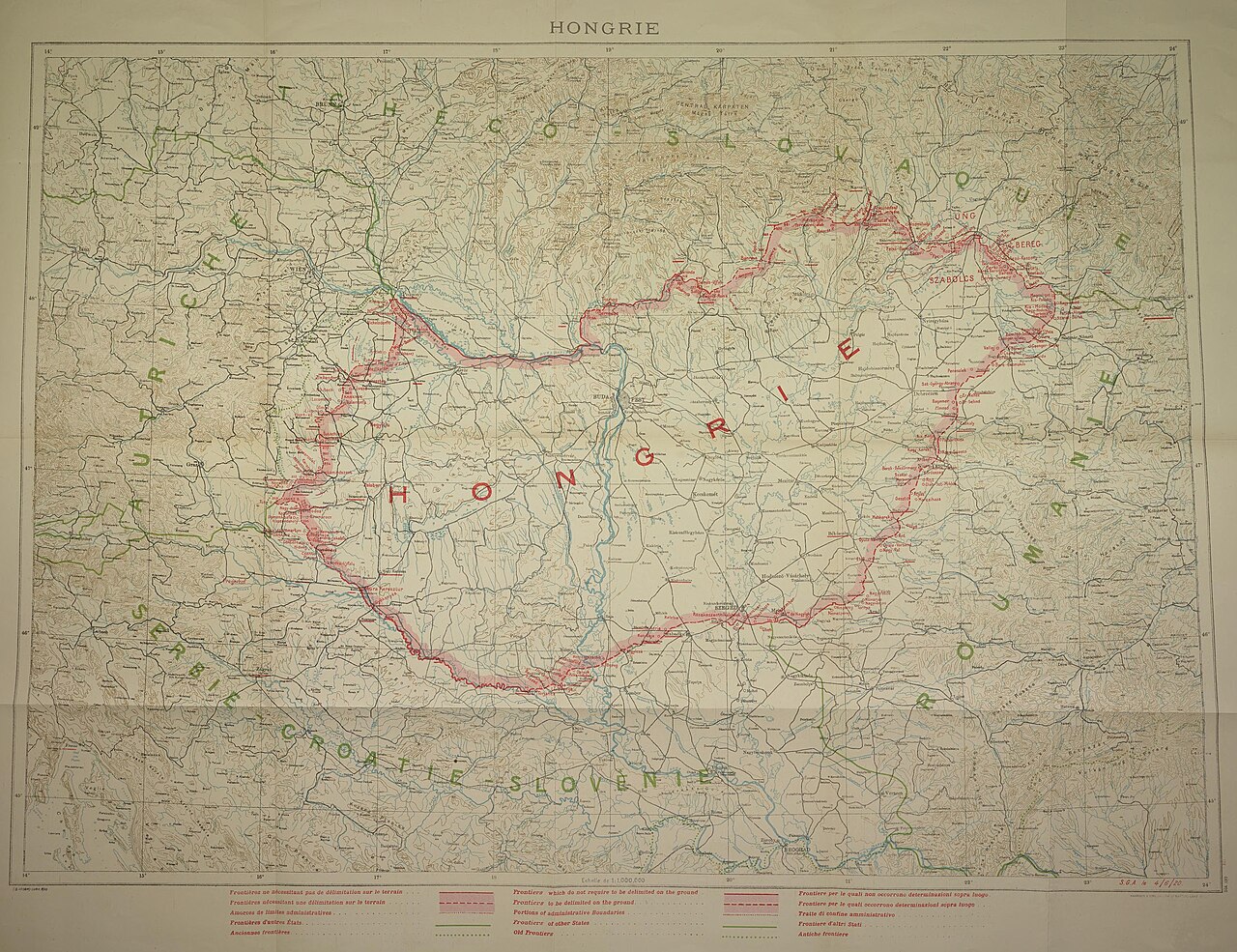
Treaty of Trianon Map of Hungary
H. M. Stationery Office Harrison & Sons · 1920
A 1920 British official map showing Hungary's new borders under the Treaty of Trianon, the settlement Horthy's regime sought to overturn.
This map shows the post-WWI borders that Horthy's regency sought to reverse, framing the central grievance of his rule.
Free Humy account · No credit card · 120,912 sources to read
About this source
What it is
This is a printed colour map titled HONGRIE, made in 1920 by H. M. Stationery Office, showing Hungary's new borders alongside Czechoslovakia, Austria, Romania and Yugoslavia, with a French-language legend.
Why it matters
The Treaty of Trianon stripped Hungary of large territories after the First World War. Miklós Horthy's government, which he led as Regent, made revising these borders a central goal of Hungarian policy during his rule. This official British map shows exactly what was lost and why it mattered so much to Horthy's Hungary.
Look closer
- Why would a British government office produce a map like this?
- What do the labelled borders tell you about how the region was reorganised?
- What does the map leave out about the people living inside these new borders?
This document is part of the curated material that grounds the AI version of Miklós Horthy on Humy.ai — when students ask about related events, the AI can quote it and cite it.
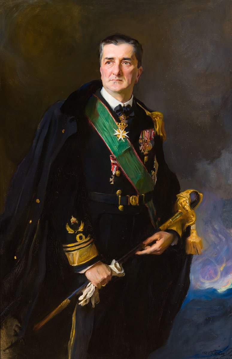
More Miklós Horthy sources
Browse all 58 →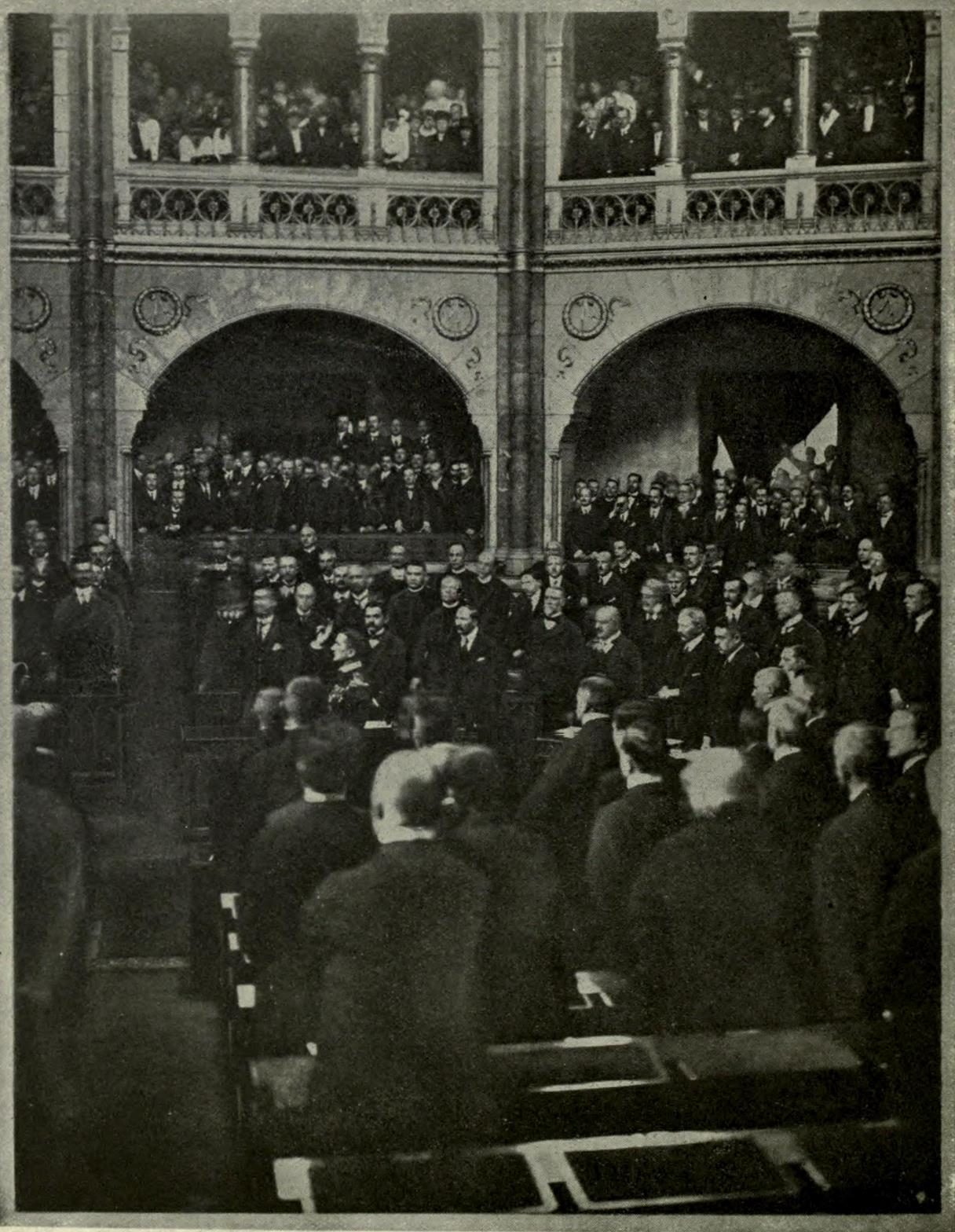 Photograph
Primary source
Horthy Taking the Oath as Regent
Unknown · 1 March 1920
 Photograph
Primary source
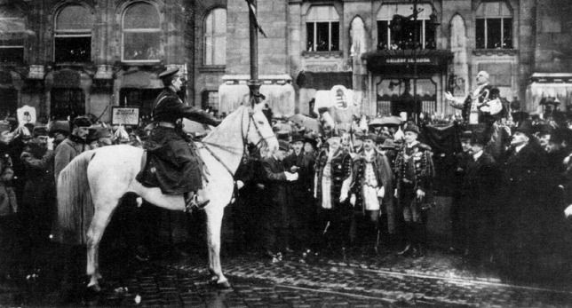
Horthy's Entry into Budapest on a White Horse
Unknown · 16 November 1919
 Photograph
Primary source
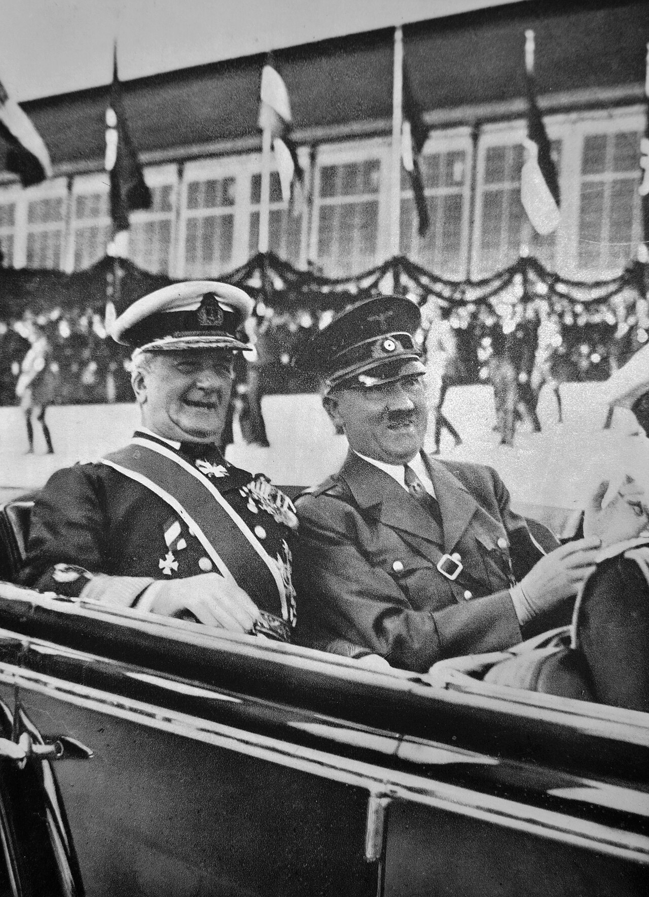
Miklós Horthy and Adolf Hitler, 1938
Ladislav Luppa · 1938
 Photograph
Primary source
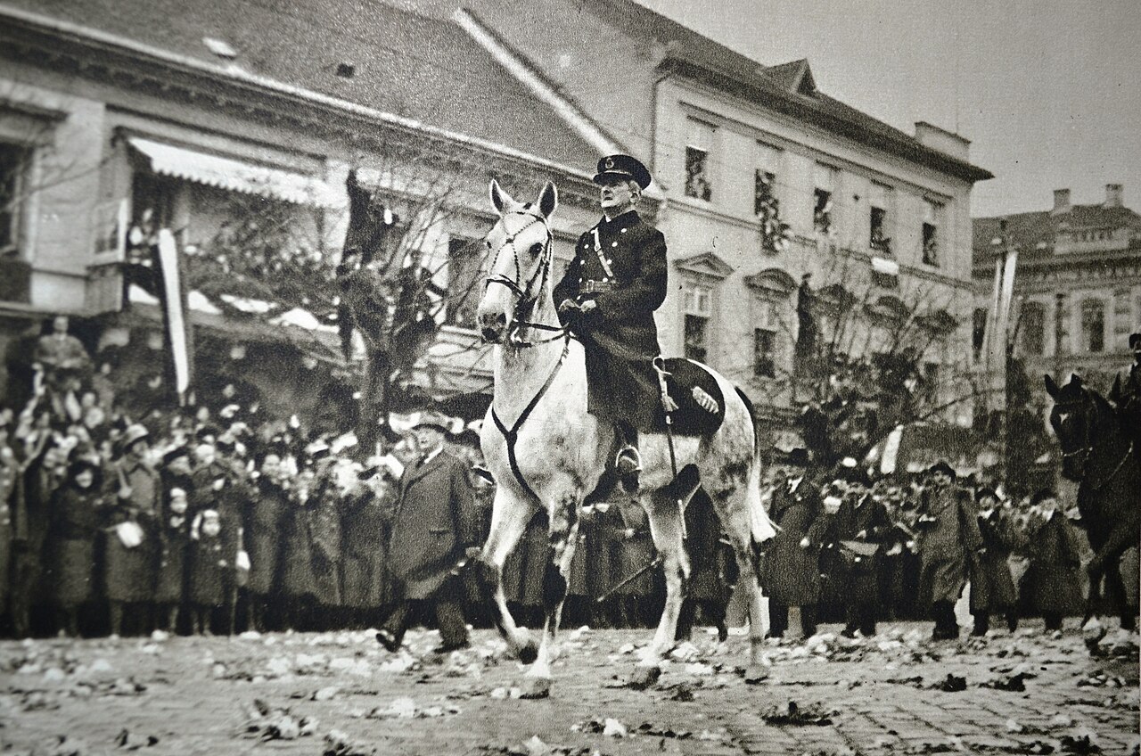
Horthy's Entry into Kassa, 1938
Ladislav Luppa · 11 November 1938
Free account
Read every Miklós Horthy source
Sign up free →
Ready when you are
Start chatting with Miklós Horthy now.
20 messages free · No credit card · Available in 50+ languages.