


Secondary sourceDocument19 June 2019
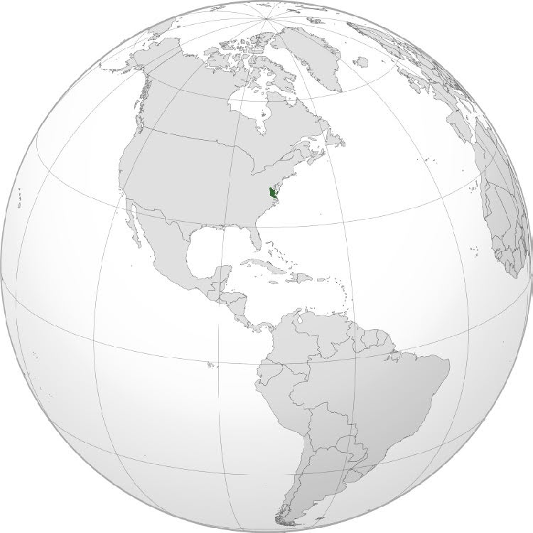
Tsenacommacah Orthographic Projection Map
Joshua Sarquilla · 19 June 2019
A 2019 digital map highlighting the location of Tsenacommacah, the Powhatan homeland Opechancanough helped lead, on a globe of the Western Hemisphere.
Shows the location of Tsenacommacah, the homeland of the Powhatan Confederacy that Opechancanough helped lead.
About this source
What it is
This is a modern map created in 2019 by Joshua Sarquilla. It shows an orthographic projection of the globe centered on the Western Hemisphere, with a small highlighted area on the US East Coast marking Tsenacommacah, the Powhatan homeland in present-day Virginia.
Why it matters
This map is a modern tool, not a historical document. It helps students locate the territory that Opechancanough and the Powhatan Confederacy controlled, giving geographic context to events in his life and leadership.
Look closer
- Why might mapmakers today still use historical names like Tsenacommacah?
- How does seeing the small highlighted area change your sense of the scale of Powhatan territory compared to the whole hemisphere?
This document is part of the curated material that grounds the AI version of Opechancanough on Humy.ai — when students ask about related events, the AI can quote it and cite it.
More Opechancanough sources
Browse all 35 →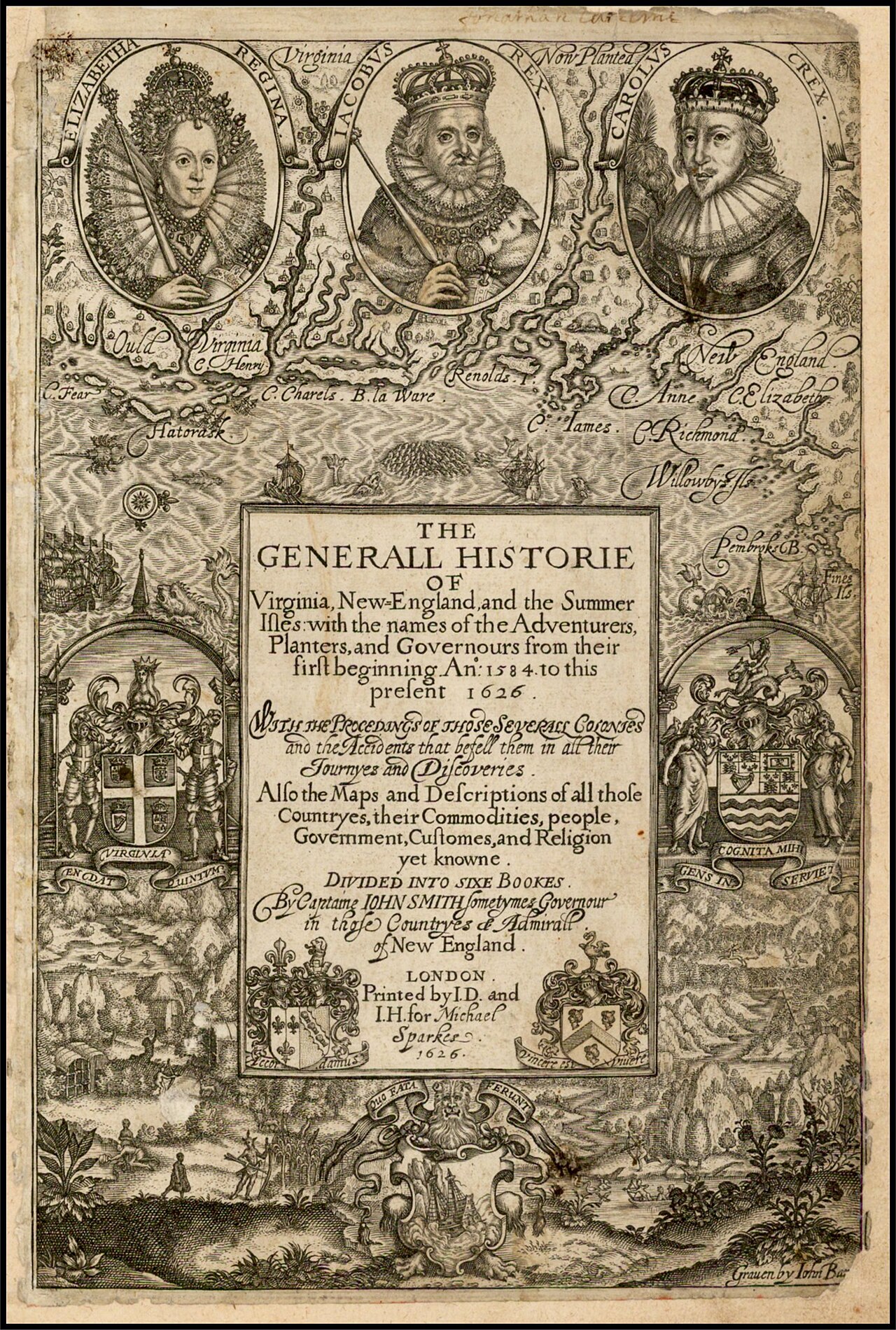 Book
Primary source
The Generall Historie of Virginia, New-England, and the Summer Isles
John Smith · 1624
 Painting
Primary source
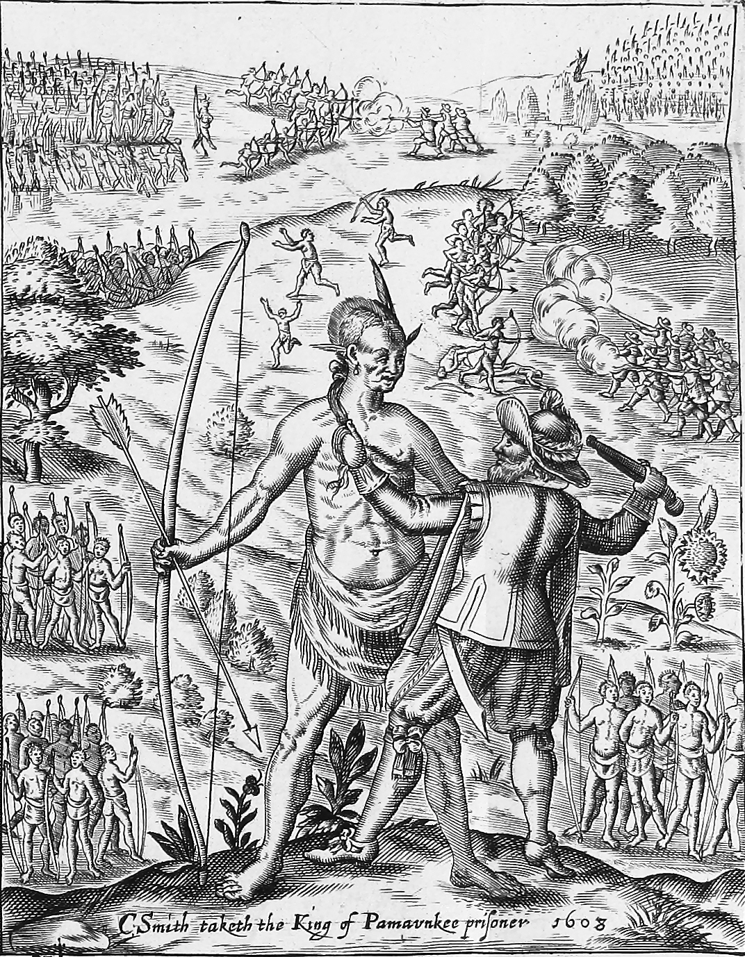
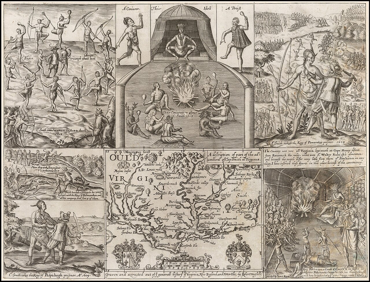
John Smith taking the King of Pamunkee prisoner
Robert Vaughan · 1624
 Book
Primary source
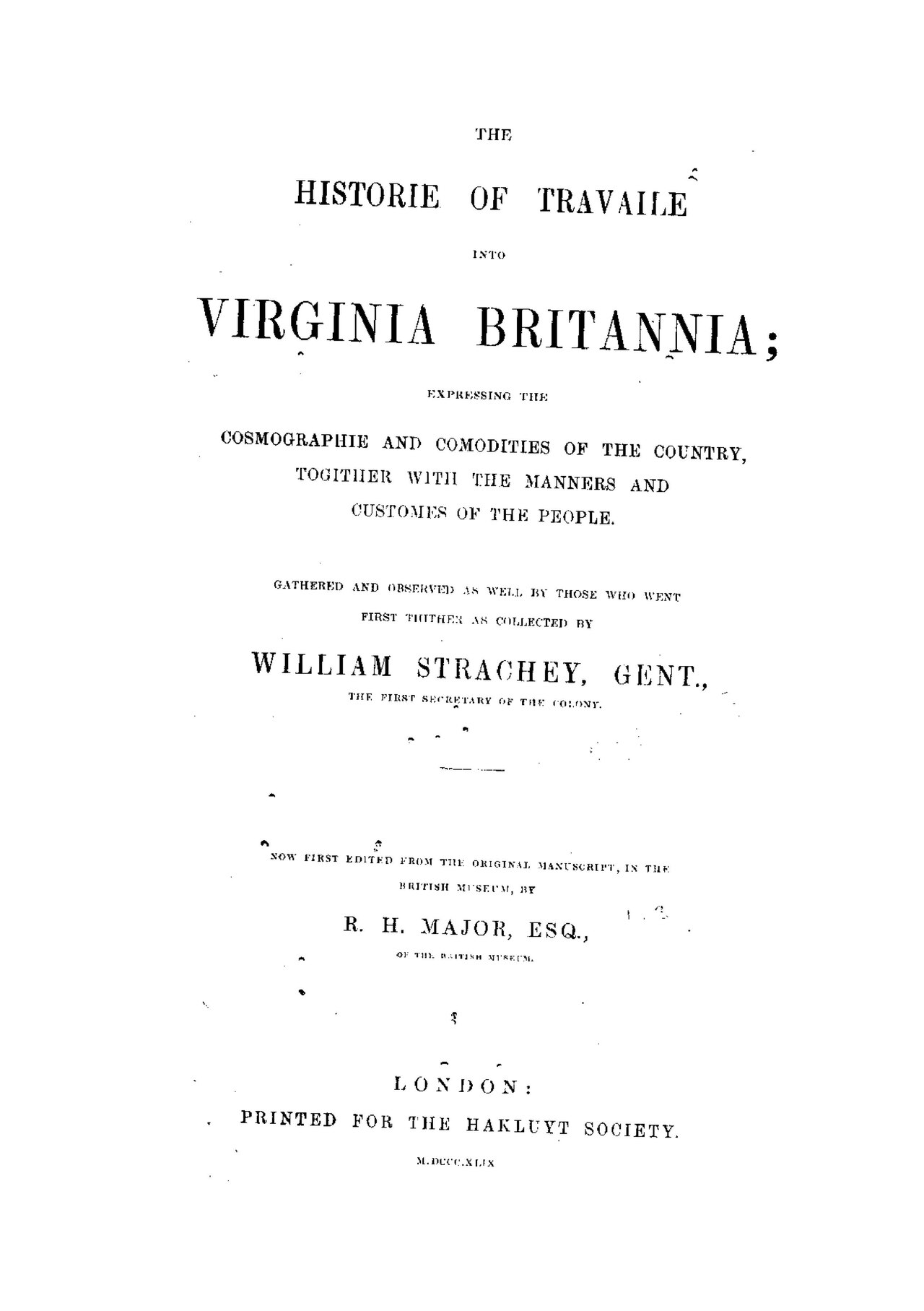
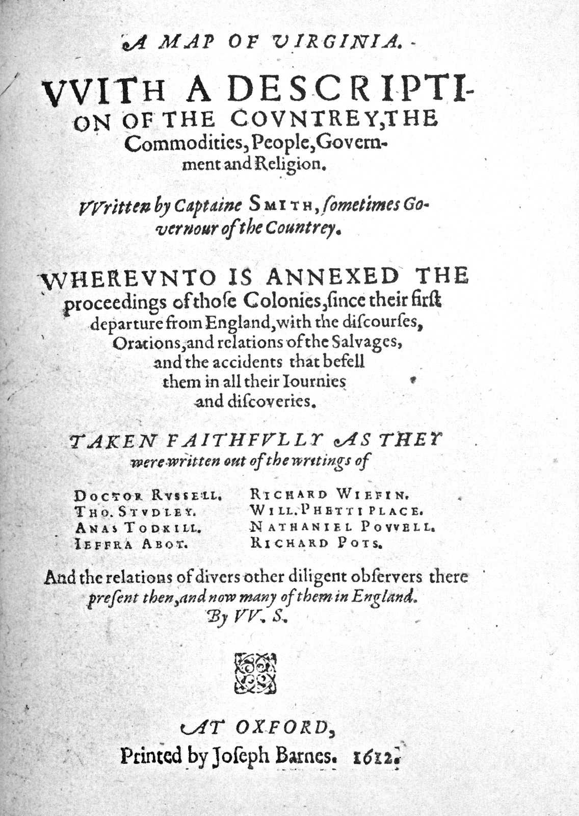
The Historie of Travaile Into Virginia Britannia
William Strachey · c. 1612
 Painting
Secondary source
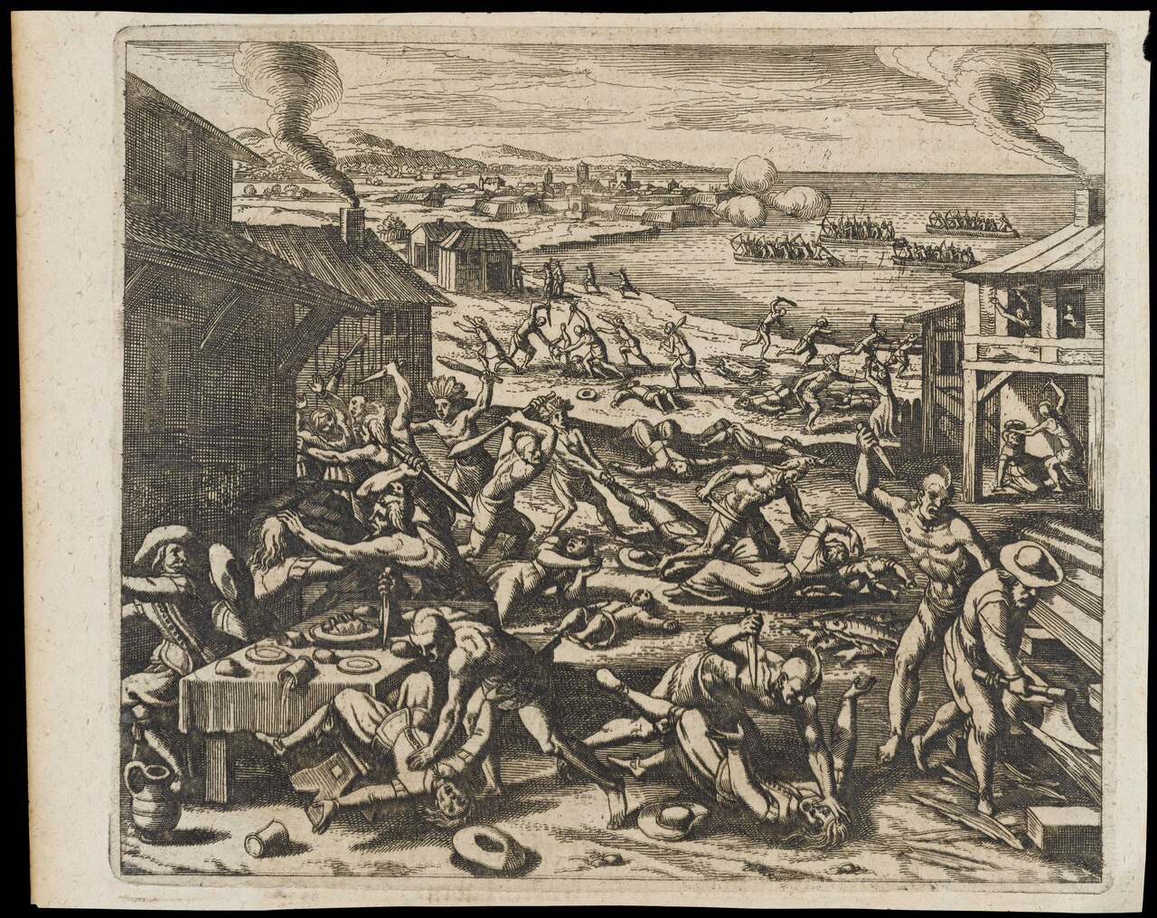
Indians Slaughtering the English Near Jamestown
Gottfried · 1655
Free account
Browse every Opechancanough source
Sign up free →
Ready when you are
Start chatting with Opechancanough now.
20 messages free · No credit card · Available in 50+ languages.