


Primary sourceDocument14 May 1945
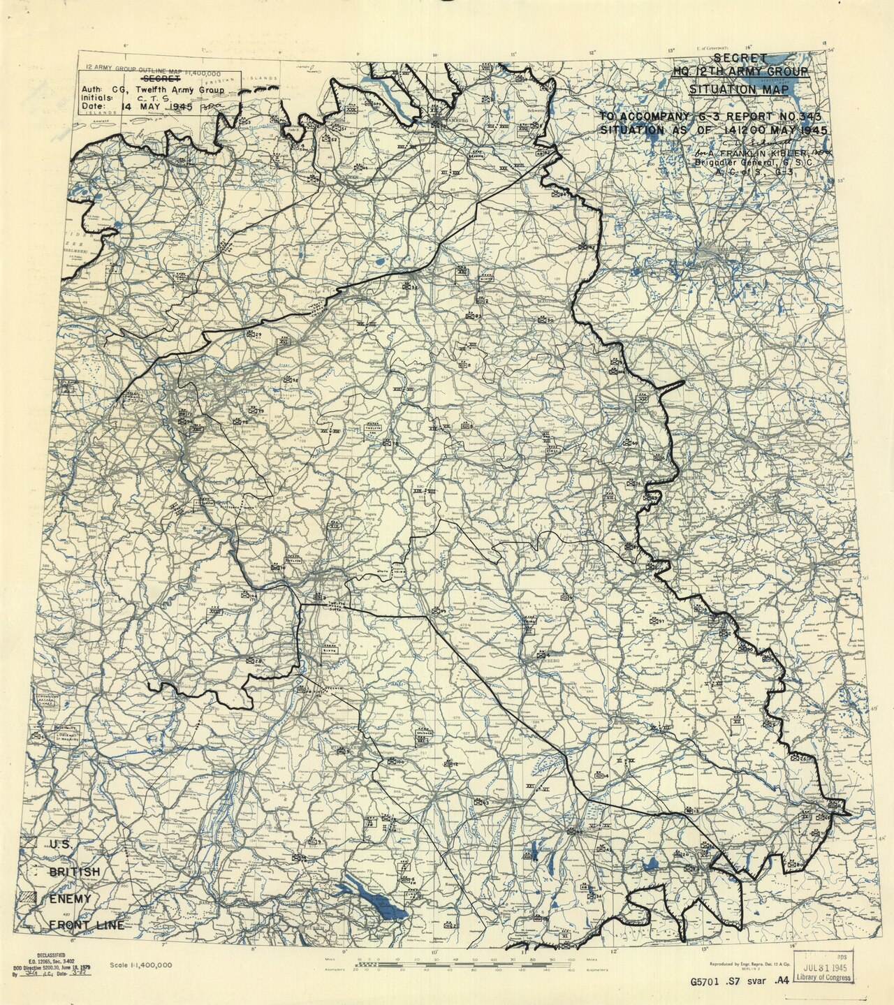
Twelfth Army Group headquarters situation map, 14 May 1945
Twelfth Army Group Engineer Section · 14 May 1945
A military situation map from the headquarters Bradley commanded, showing front lines and unit positions across Central Europe in May 1945.
A staff map from the headquarters Bradley commanded, recording the military situation just after Germany's surrender.
About this source
What it is
This is a scanned wartime situation map titled HQ 12th Army Group Situation Map, dated 14 May 1945. It was made by the Engineer Section of the Twelfth Army Group headquarters, the unit commanded by General Omar Bradley. The map shows front lines, unit markers and place names across Central Europe, with a legend and title block.
Why it matters
Maps like this were working tools used by army staff to track the movement of Allied and enemy forces. This one dates from just days after the German surrender, so it records the military situation at the very end of the war in Europe, under Bradley's command.
Look closer
- What symbols are used to mark different types of units?
- Why would a headquarters need a map updated so soon after fighting stopped?
- What does the map leave out that a photograph might show?
This document is part of the curated material that grounds the AI version of Omar Bradley on Humy.ai — when students ask about related events, the AI can quote it and cite it.
More Omar Bradley sources
Browse all 61 →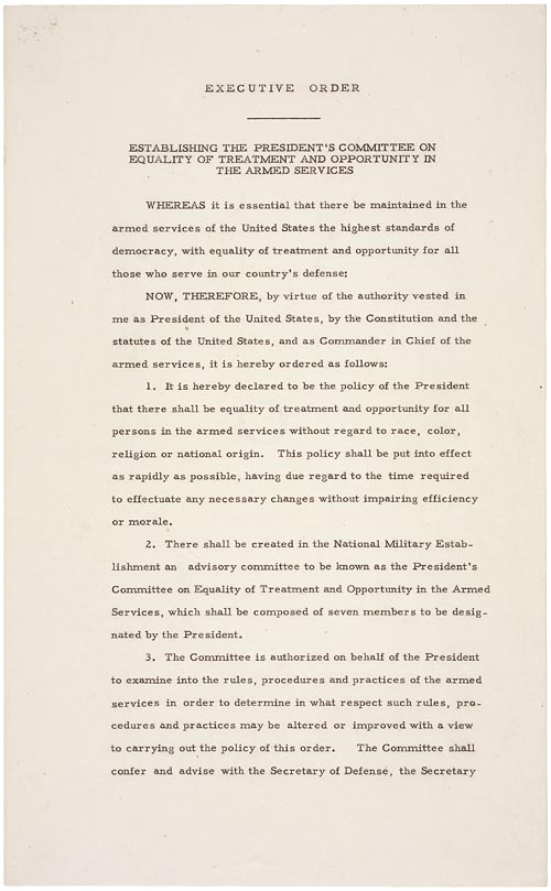 Document
Primary source
Executive Order 9981
Harry S. Truman · 26 July 1948
 Document
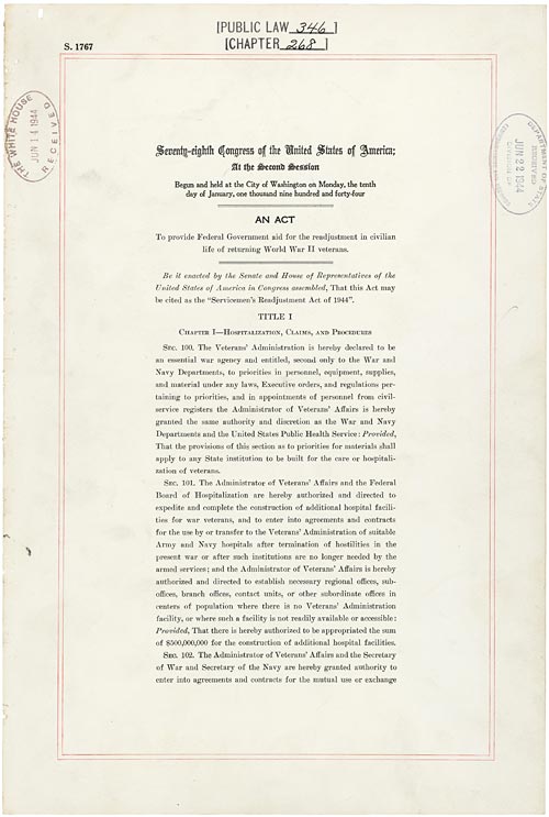
Primary source
Servicemen's Readjustment Act
22 June 1944
 Photograph
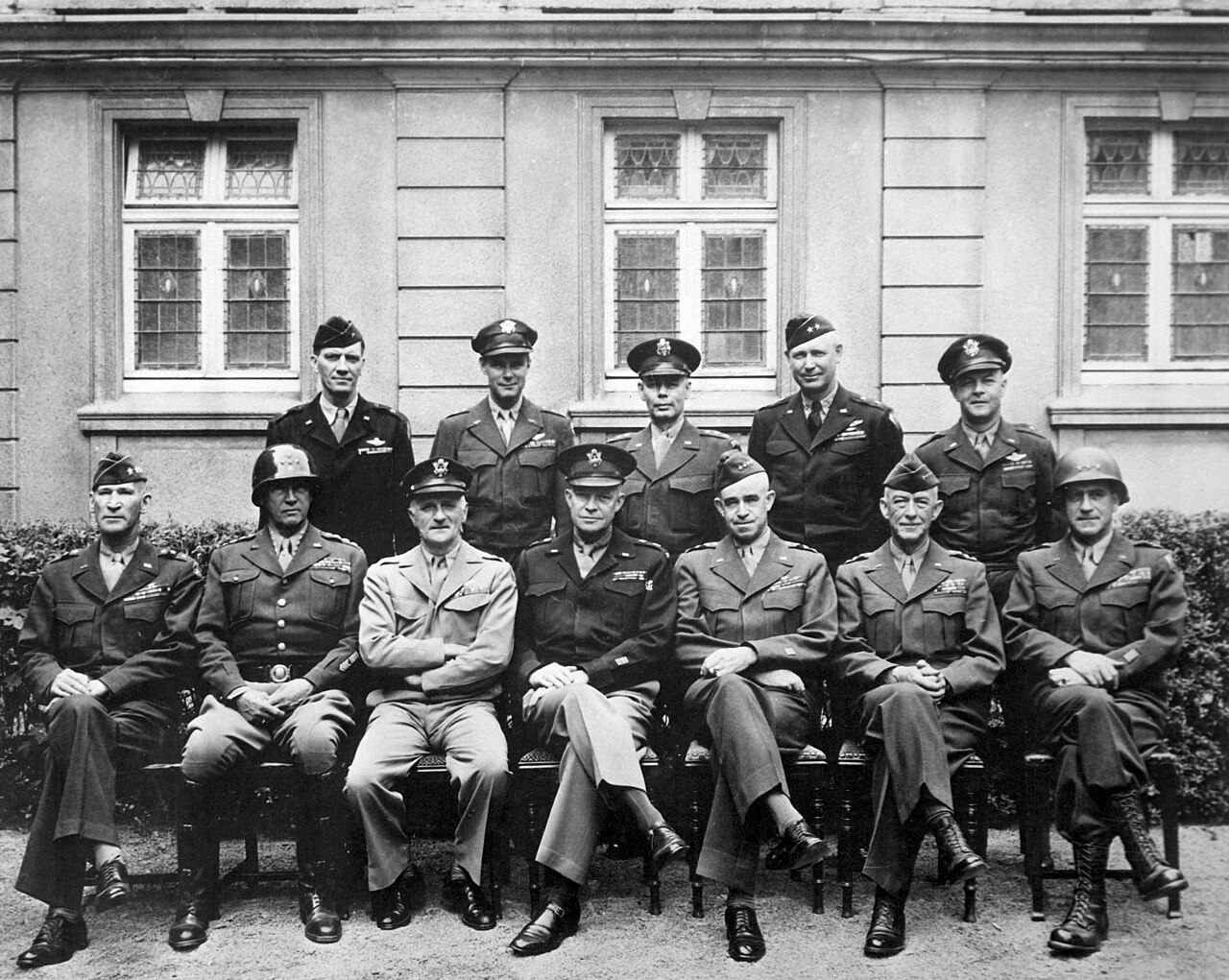
Primary source
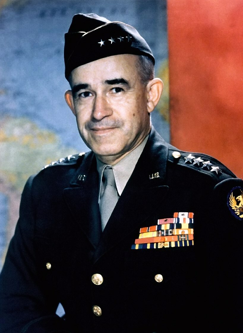
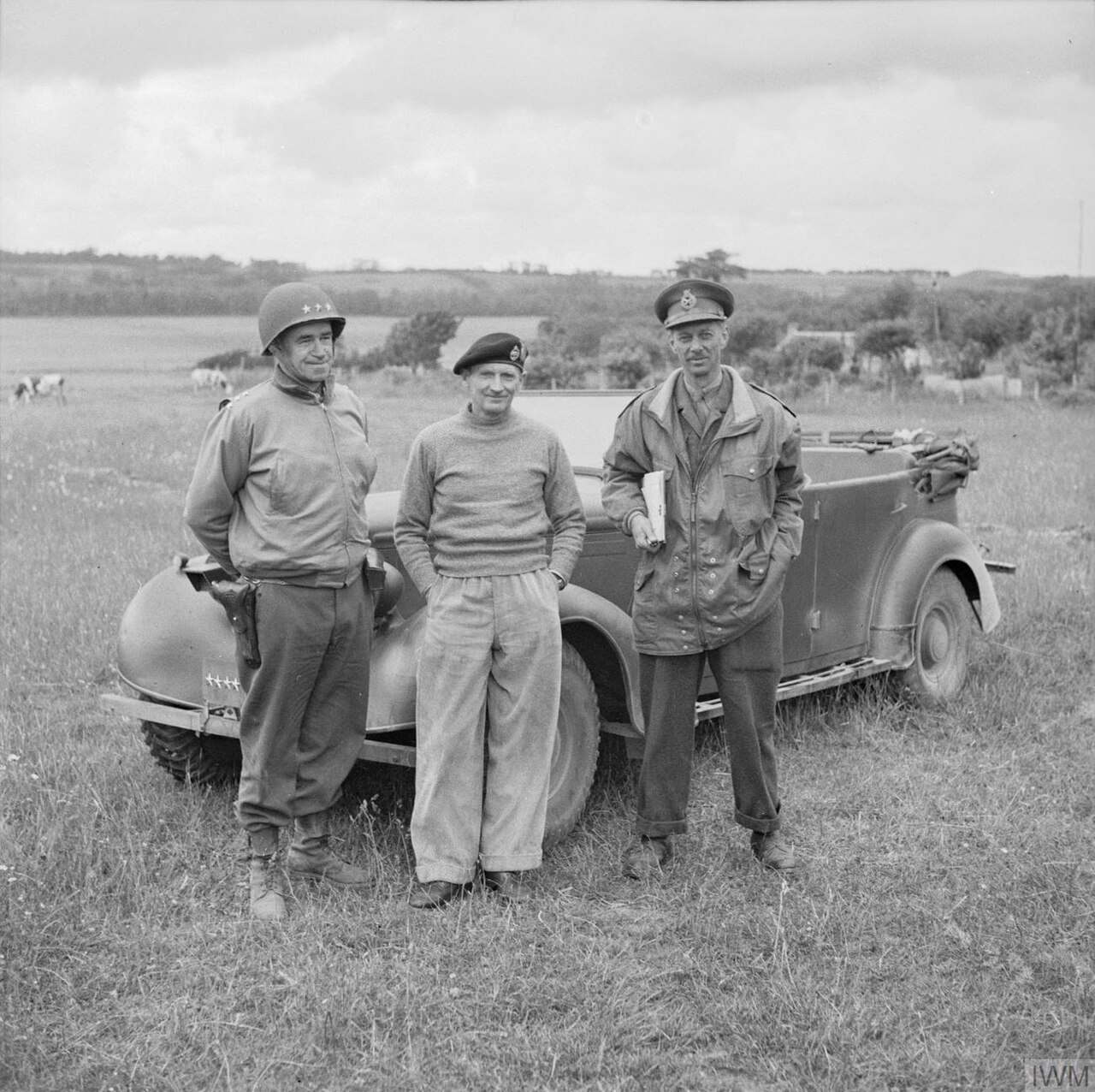
American World War II senior military officials, 1945
1945
 Photograph
Primary source
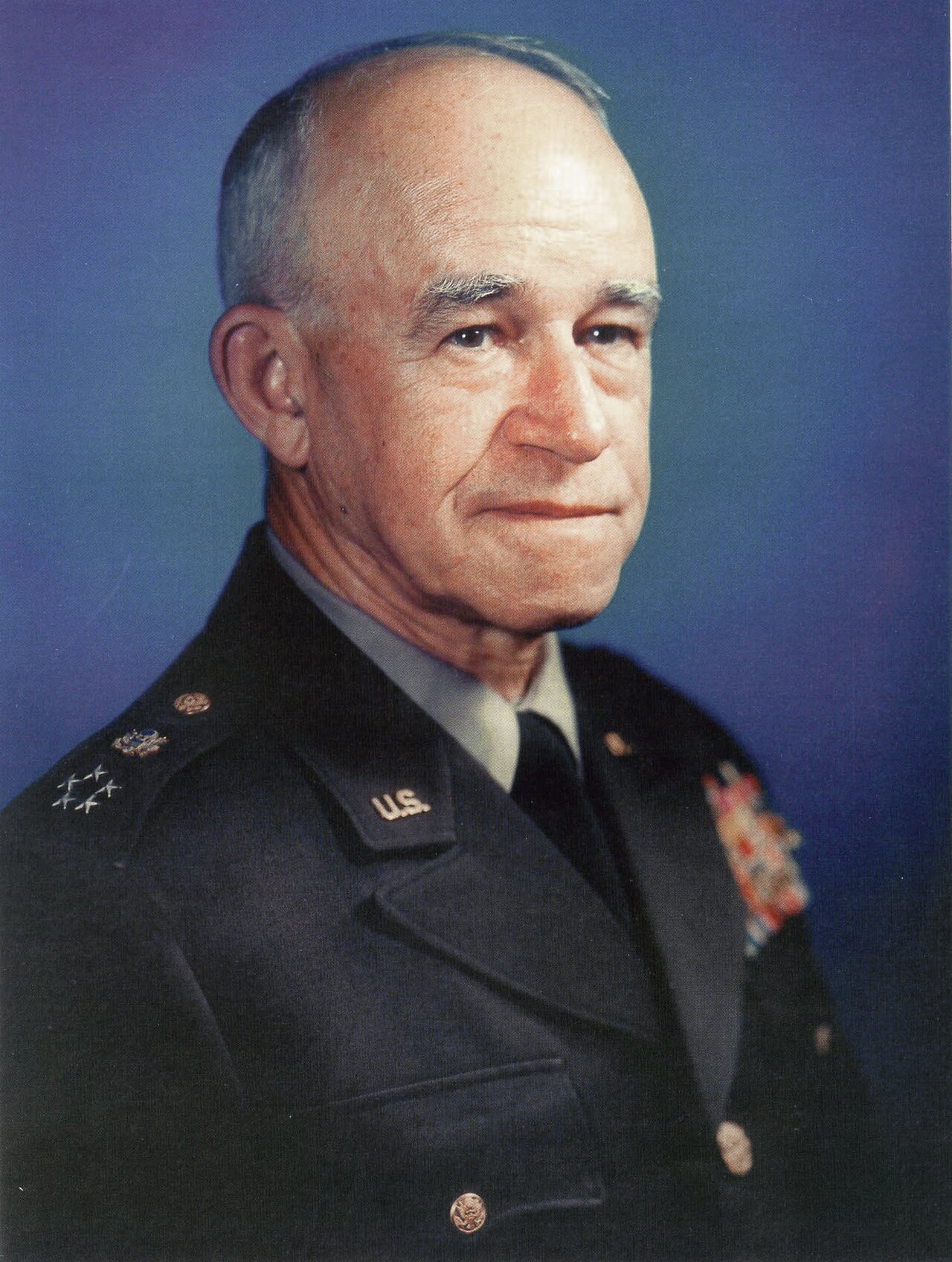
Omar Bradley, official military photo, 1949
United States Army · c. 1945
Free account
Read every Omar Bradley source
Sign up free →
Ready when you are
Start chatting with Omar Bradley now.
20 messages free · No credit card · Available in 50+ languages.