


Primary sourceDocument24 April 1945
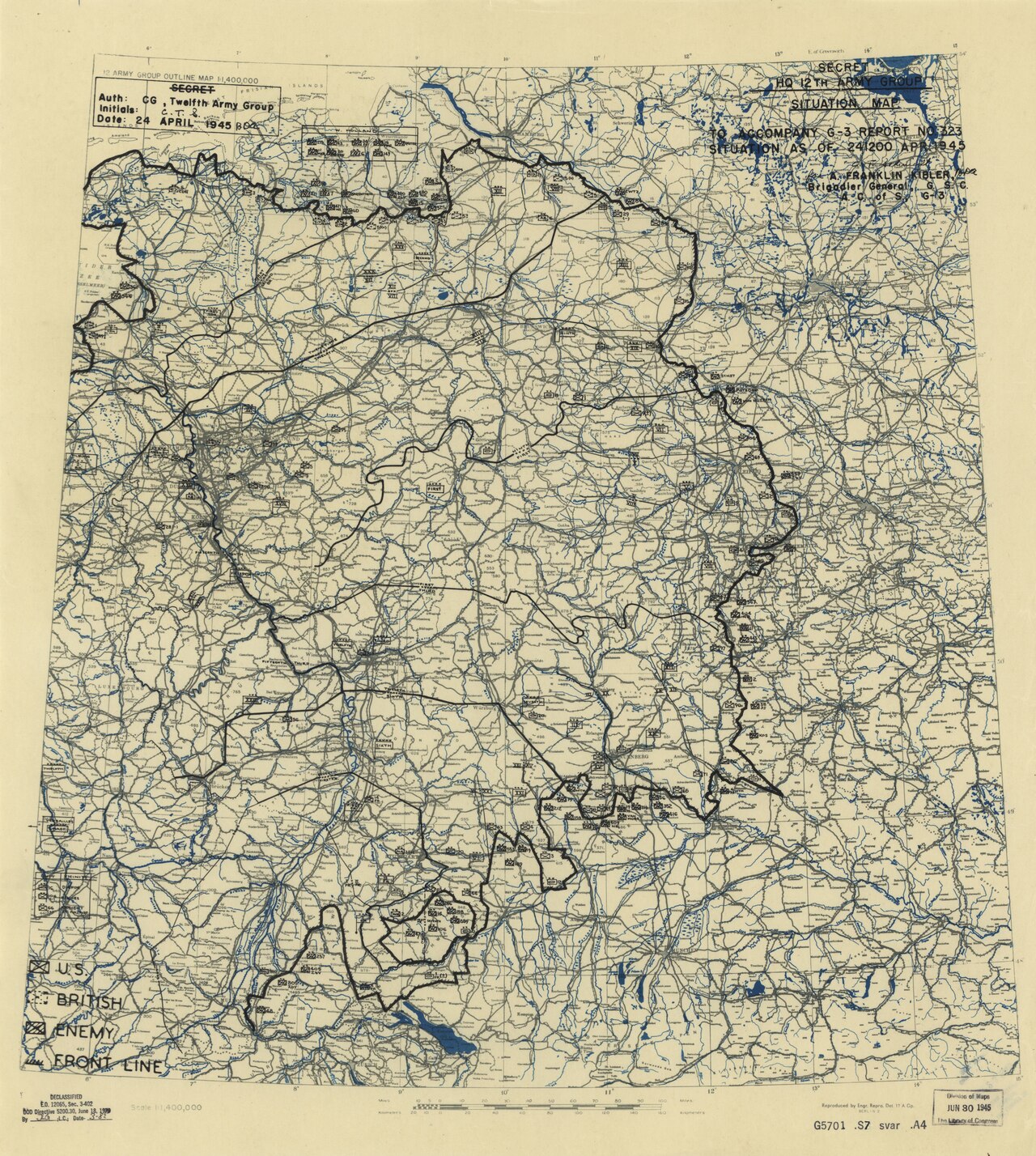
Twelfth Army Group Situation Map, 24 April 1945
12th Army Group Engineer Section · 24 April 1945
A secret wartime situation map from the headquarters of the 12th Army Group, which Omar Bradley commanded, dated 24 April 1945.
A headquarters situation map from the army group Bradley commanded during the final weeks of the European war.
About this source
What it is
This is a military situation map titled "Secret HQ 12th Army Group Situation Map," dated 24 April 1945, made by the Engineer Section of the 12th Army Group and the headquarters of the 1st Army Group. It shows roads, rivers, front-line boundaries, and unit markings with a legend for U.S., British, and enemy positions.
Why it matters
As the force's commanding general, Bradley would have relied on maps like this to track the progress of operations in the final weeks of the war in Europe. It shows how commanders visualized and managed large, fast-moving campaigns.
Look closer
- What can you learn about the fighting from the way the lines and markings are drawn?
- Why would this map have been marked "Secret"?
- What information might be missing that a soldier on the ground would have known?
This document is part of the curated material that grounds the AI version of Omar Bradley on Humy.ai — when students ask about related events, the AI can quote it and cite it.
More Omar Bradley sources
Browse all 61 →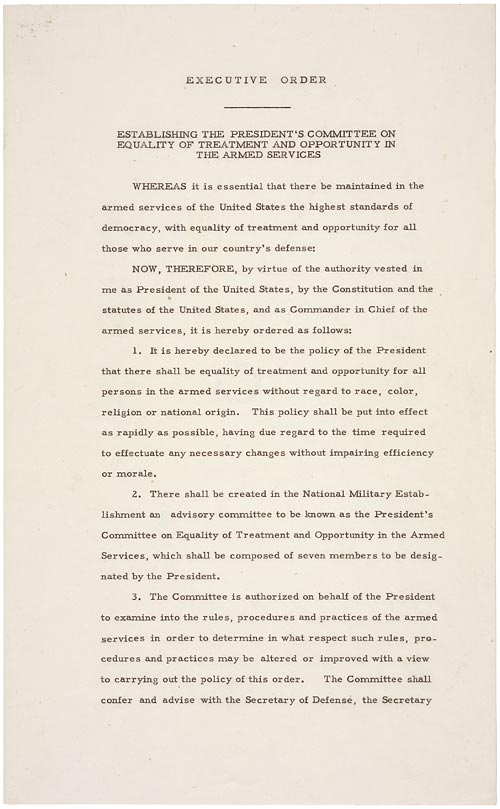 Document
Primary source
Executive Order 9981
Harry S. Truman · 26 July 1948
 Document
Primary source
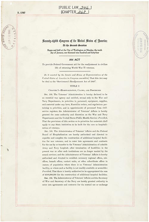
Servicemen's Readjustment Act
22 June 1944
 Photograph
Primary source
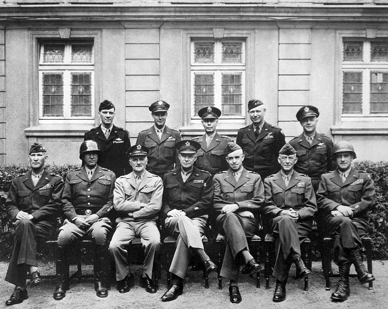
American World War II senior military officials, 1945
1945
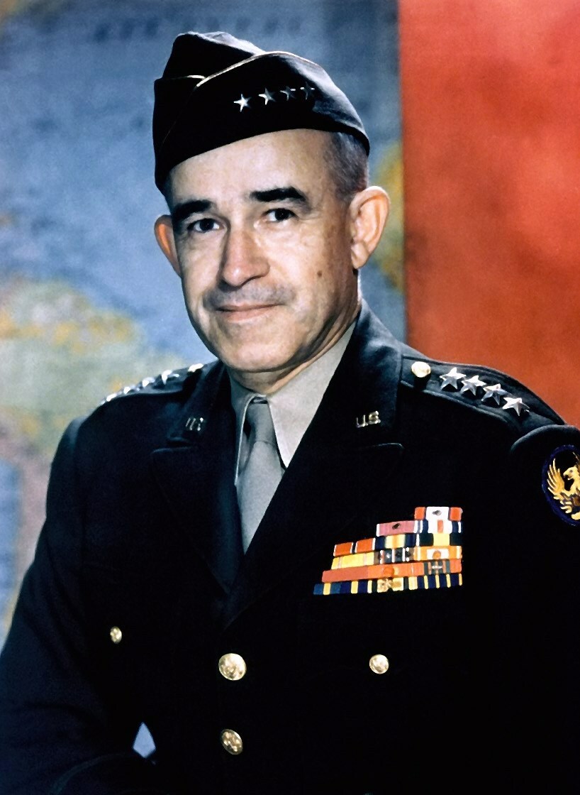 Photograph
Primary source
Omar Bradley, official military photo, 1949
United States Army · c. 1945
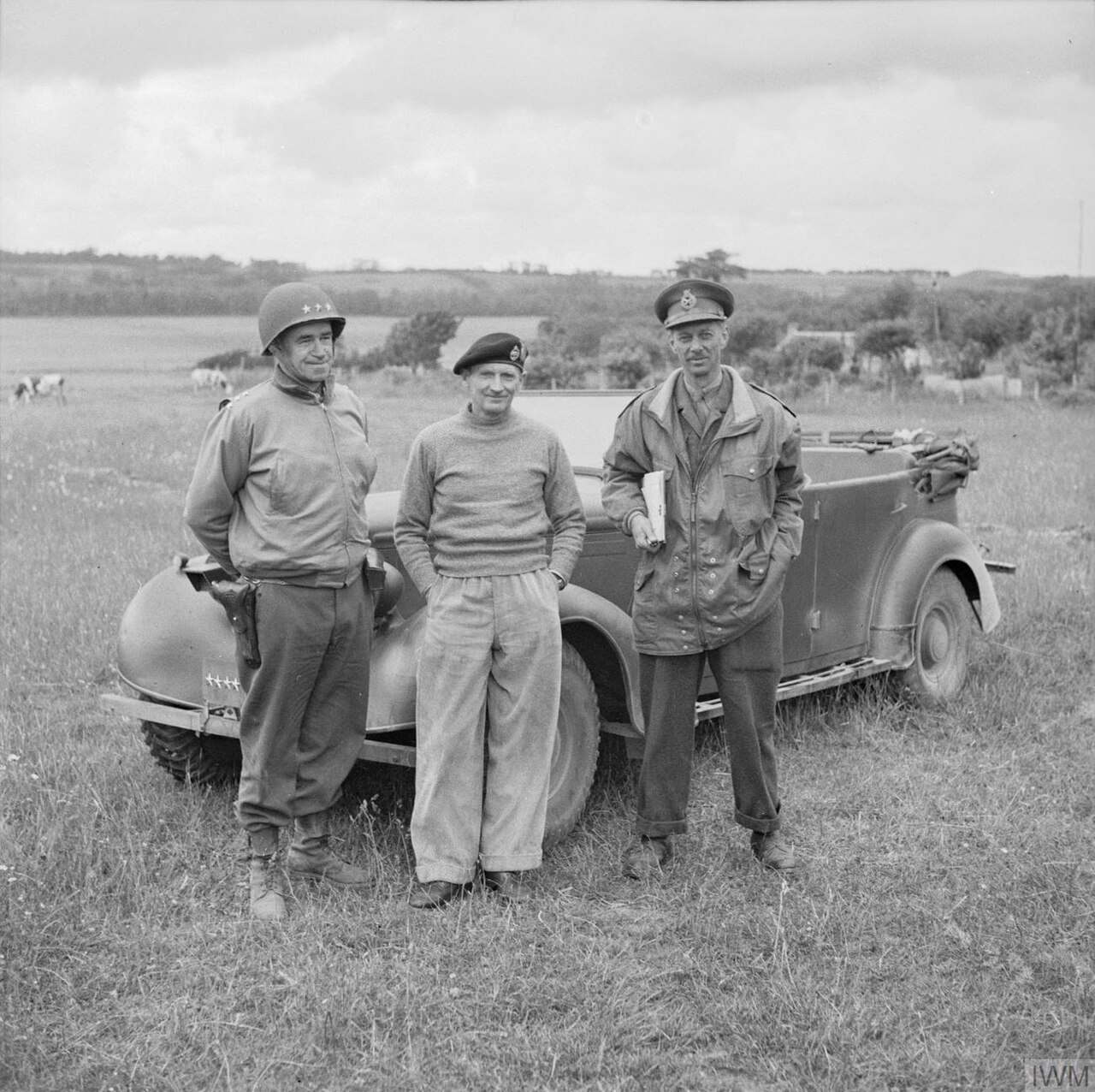
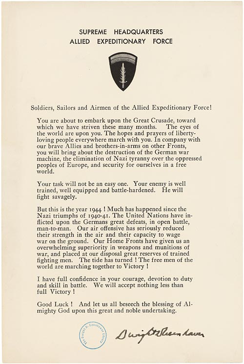
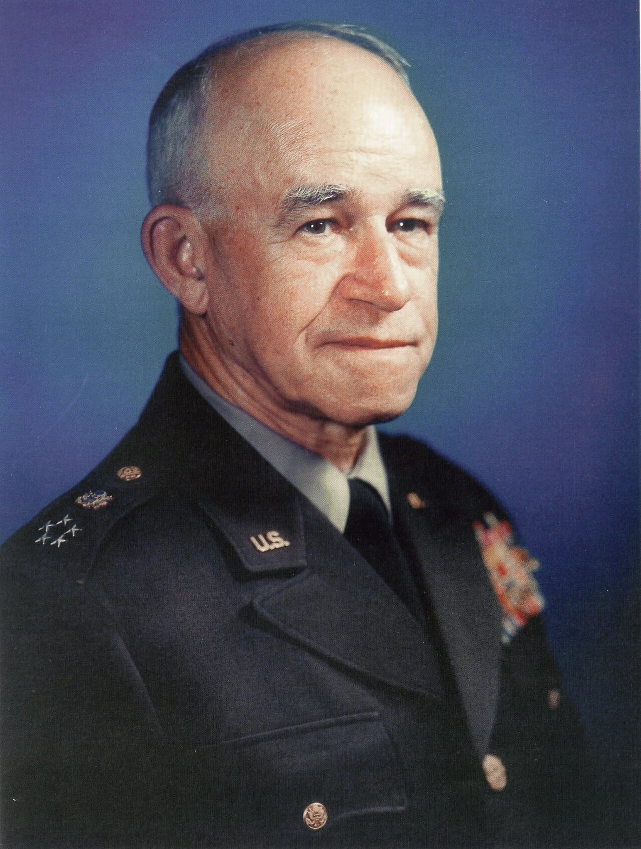
Free account
Read every Omar Bradley source
Sign up free →
Ready when you are
Start chatting with Omar Bradley now.
20 messages free · No credit card · Available in 50+ languages.