


Primary sourceDocument1818
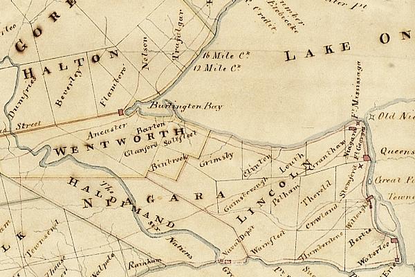
Upper Canada Niagara Peninsula Township Map
Robert Pilkington · 1818
An 1818 Royal Engineer map of the Niagara Peninsula's townships, depicting the area Laura Secord crossed during the War of 1812.
Depicts the Niagara Peninsula landscape and townships central to Laura Secord's 1813 journey.
About this source
What it is
This is a hand-drawn map from 1818, created by Robert Pilkington, a Royal Engineer, showing the townships of the Niagara Peninsula in Upper Canada, including Halton, Wentworth, Lincoln, Haldimand, and Niagara.
Why it matters
This map provides a close look at the same region Laura Secord travelled through in 1813 during her journey to warn British troops of an American advance. It offers insight into how the land was divided and understood by British colonial administrators in the years just after the war.
Look closer
- What do the township boundaries suggest about how land was organized at the time?
- How might this map have been used by travellers or soldiers moving through the region?
- What does the map leave out that a person on foot, like Secord, would have experienced?
This document is part of the curated material that grounds the AI version of Laura Secord on Humy.ai — when students ask about related events, the AI can quote it and cite it.
More Laura Secord sources
Browse all 60 → Book
Secondary source
1812; The War, and Its Moral: A Canadian Chronicle
William F. Coffin · 1864
 Photograph
Primary source
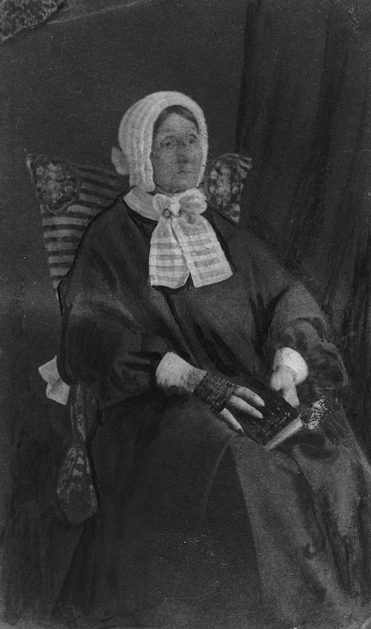
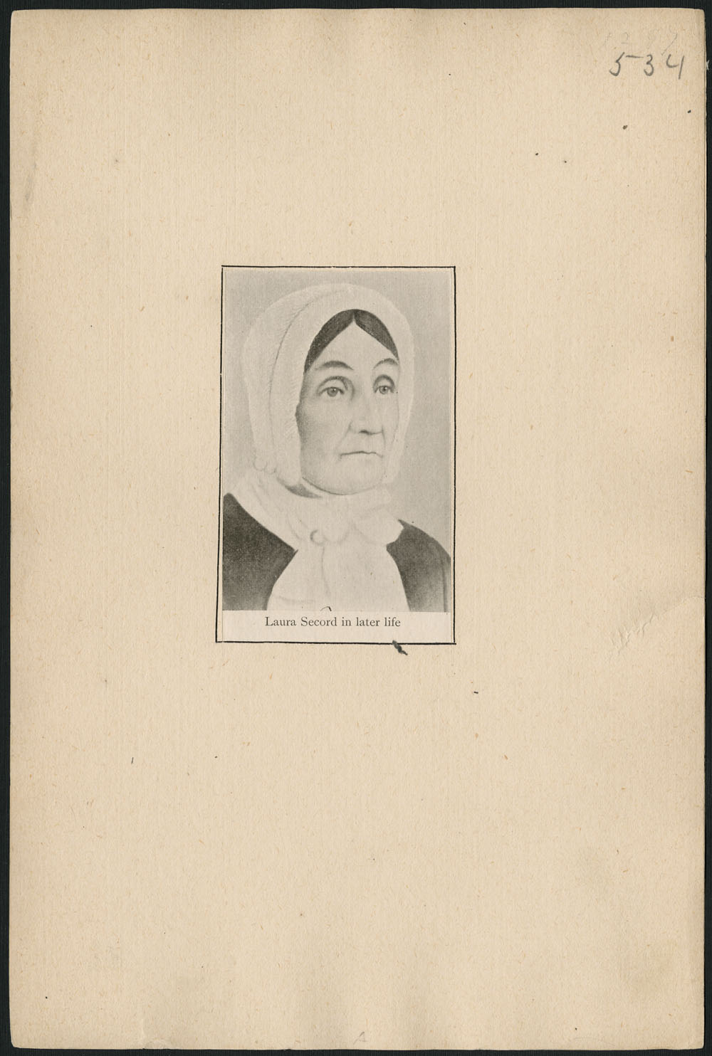
Portrait of Laura Secord
Anonymous · c. 1865
 Artifact
Primary source
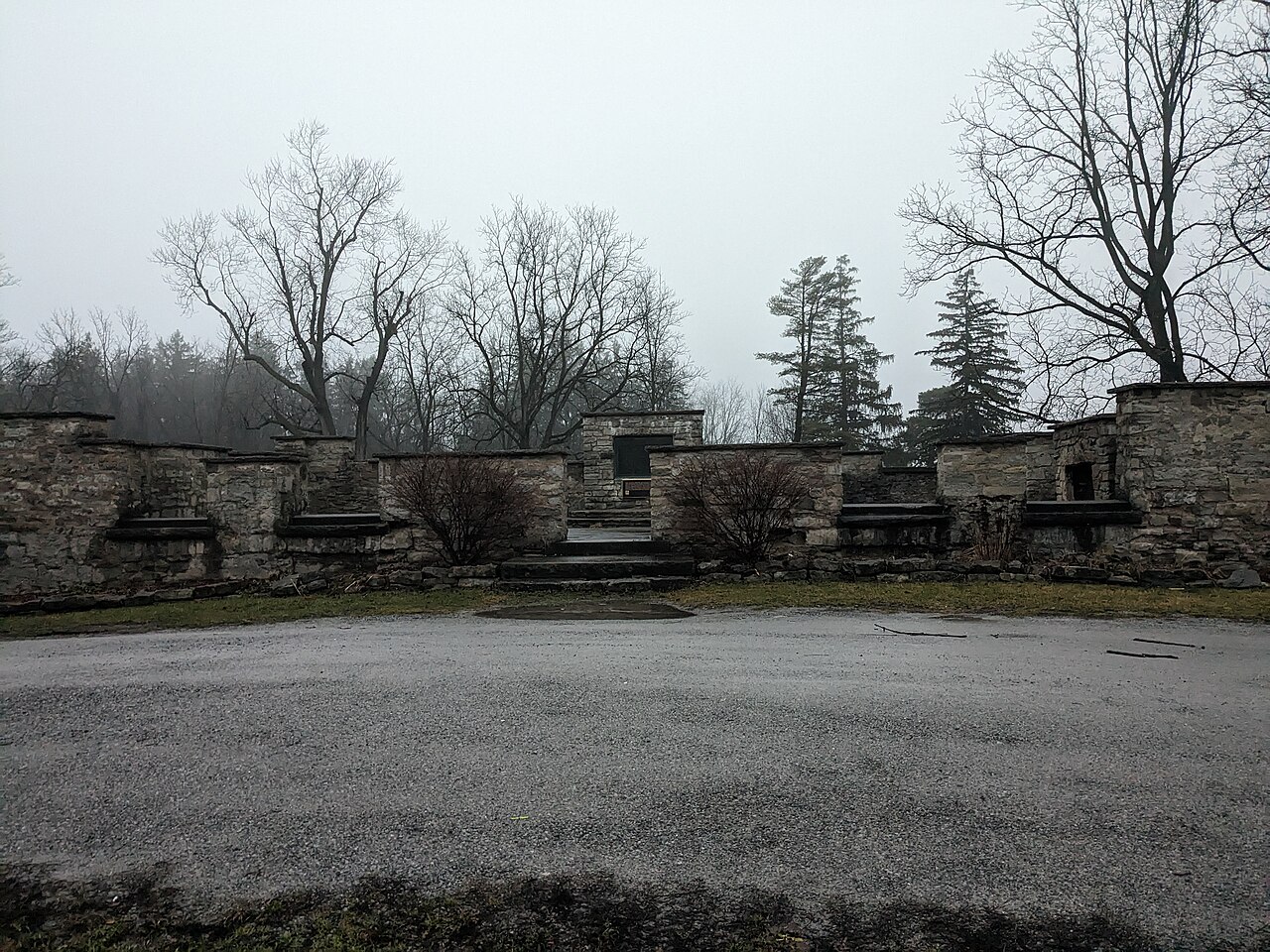
DeCew House
c. 1808
 Artifact
Secondary source
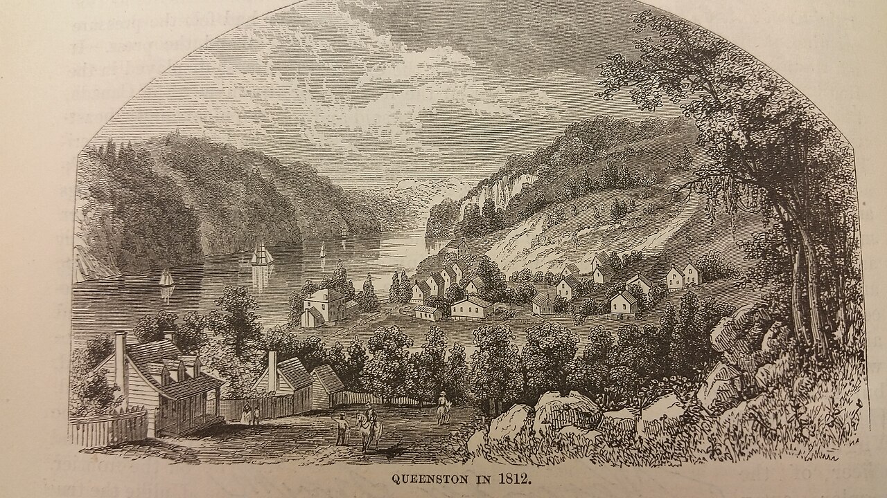
Queenston
Free account
Read every Laura Secord source
Sign up free →
Ready when you are
Start chatting with Laura Secord now.
20 messages free · No credit card · Available in 50+ languages.