


Primary sourceDocument1819 (depicting 1812-1814)
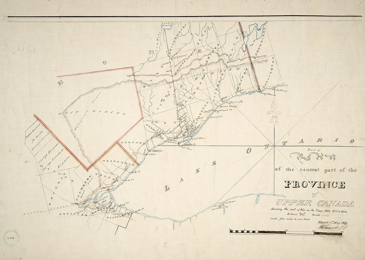
Upper Canada Seat of War Map, 1812-1814
James Grant Chewett · 1819 (depicting 1812-1814)
A hand-drawn map of the Niagara war zone in Upper Canada, showing the area where Laura Secord made her famous walk.
Maps the Niagara war zone where Secord's walk and the surrounding battles of the War of 1812 took place.
About this source
What it is
This hand-drawn and inked map, signed and dated 1819 by James Grant Chewett, shows the central part of Upper Canada that was the "seat of War" in 1812, 1813 and 1814. It covers Lake Ontario, the Niagara area, and the Lake Erie shoreline, with place names, boundary lines, a compass rose, and a scale bar.
Why it matters
This region was the setting for the War of 1812, including the events around Laura Secord's warning to British forces. Maps like this, made soon after the war, help us understand the geography that shaped military decisions and the journeys people made across this contested land.
Look closer
- Why would a mapmaker create a detailed war map after the fighting had ended?
- What can you learn about distances and terrain from this map that a written account might not show?
- What is missing from a map like this that would help you understand what ordinary people experienced?
This document is part of the curated material that grounds the AI version of Laura Secord on Humy.ai — when students ask about related events, the AI can quote it and cite it.
More Laura Secord sources
Browse all 60 → Book
Secondary source
1812; The War, and Its Moral: A Canadian Chronicle
William F. Coffin · 1864
 Photograph
Primary source
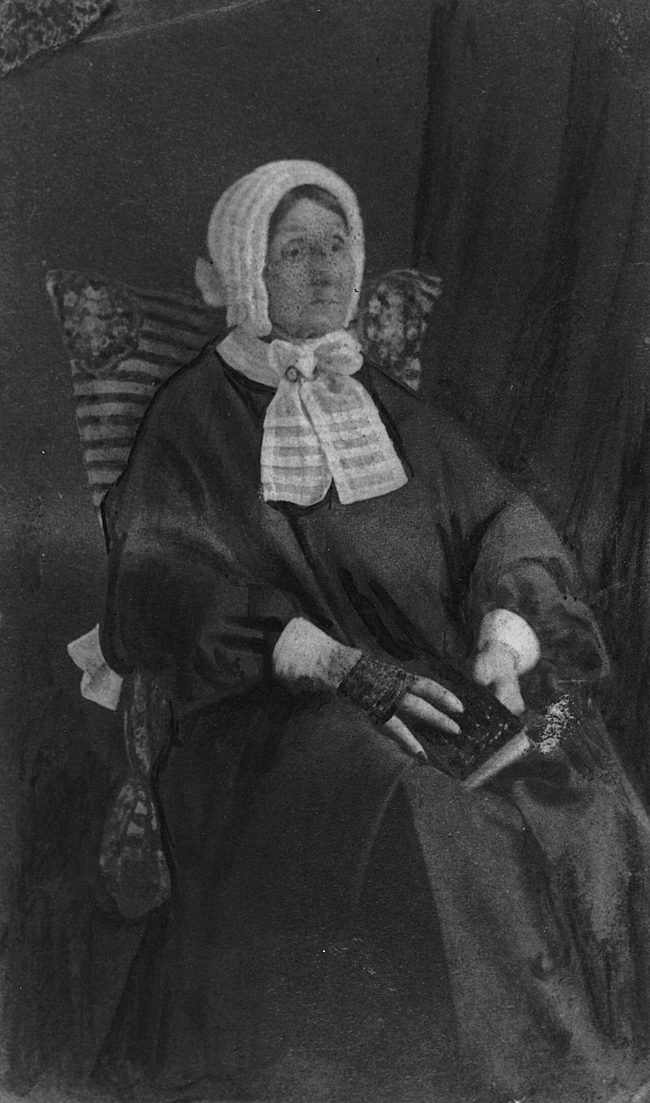
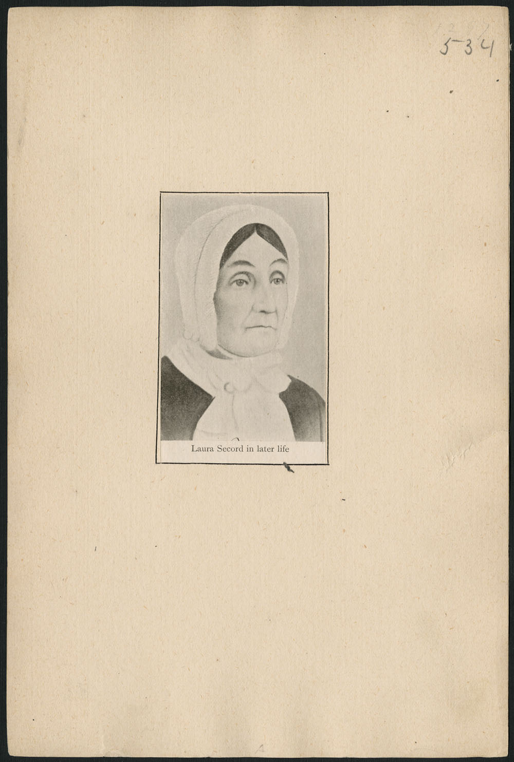
Portrait of Laura Secord
Anonymous · c. 1865
 Artifact
Primary source
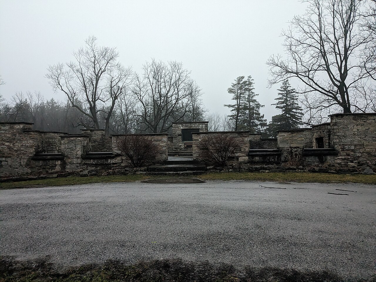
DeCew House
c. 1808
 Artifact
Secondary source
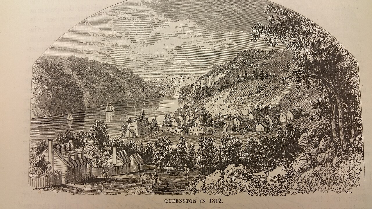
Queenston
Free account
Read every Laura Secord source
Sign up free →
Ready when you are
Start chatting with Laura Secord now.
20 messages free · No credit card · Available in 50+ languages.