


Primary sourceDocument2 December 1922
Uqair Protocol of 1922
2 December 1922
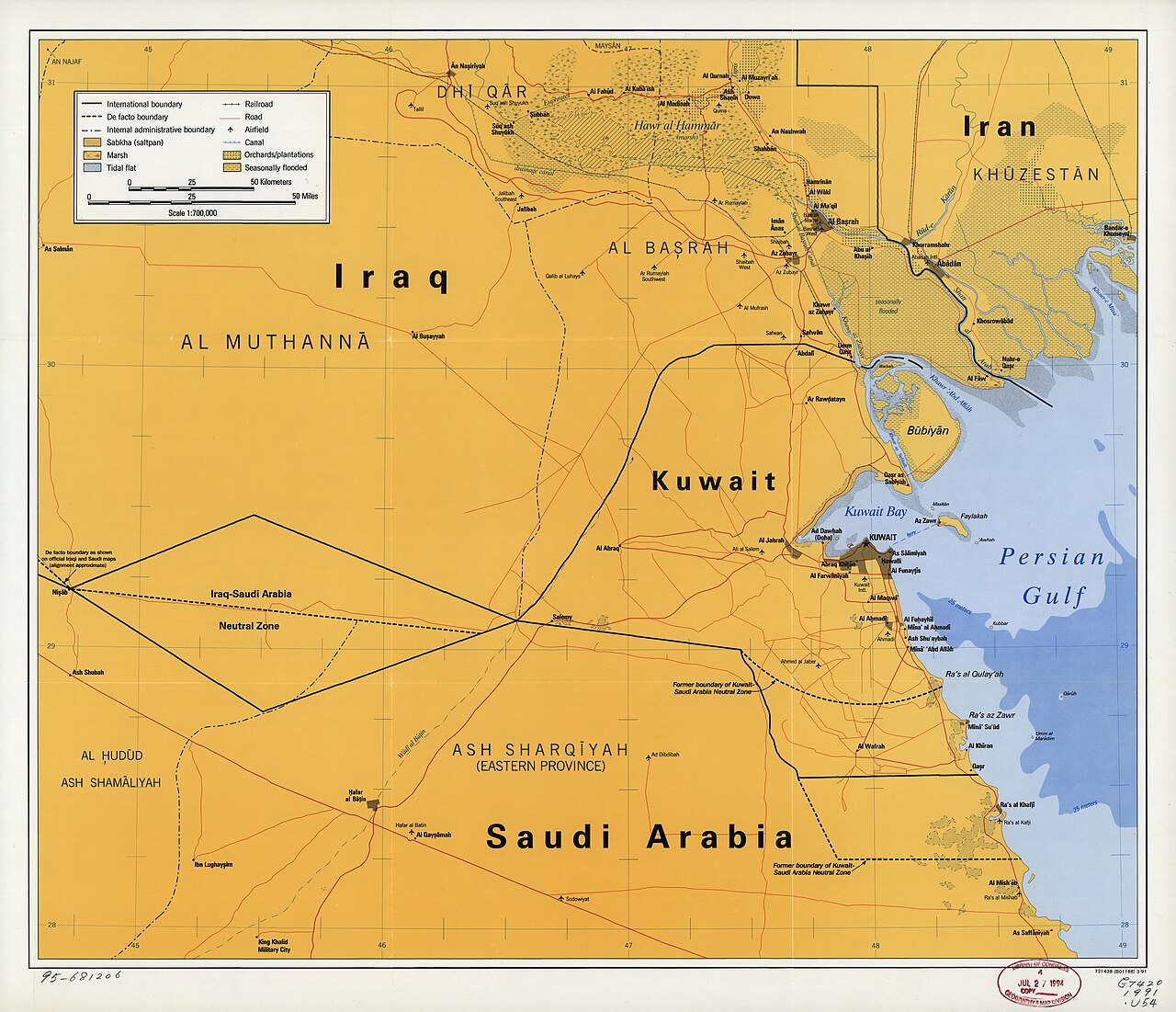
The 1922 agreement at which Ibn Saud and Percy Cox fixed borders between Nejd, Iraq and Kuwait, drawn after Saudi raids on Kuwait.
Records Ibn Saud negotiating borders with Britain after Ikhwan raids on Kuwait.
About this source
What it is
The Uqair Protocol was agreed at Uqair on 2 December 1922 between Percy Cox, the British High Commissioner to Iraq, Ibn Saud, and Major John More, the British Political Agent to Kuwait. It defined boundaries between Mandatory Iraq, the Sultanate of Nejd under Ibn Saud, and Kuwait, including neutral zones.
Why it matters
Cox called the meeting after Ikhwan raiders loyal to Ibn Saud attacked Kuwait, and drew the new boundaries himself, largely without full approval from his own government. Kuwait, though directly affected, had no say in the outcome and lost much of its territory, fuelling later resentment. The episode shows how Ibn Saud's expanding power was shaped — and limited — by British mediation.
Why it matters
Look closer
- Why was Kuwait not allowed to take part in deciding its own borders?
- What does it suggest that the British official drew the boundaries himself on a map?
- Why might borders drawn this way cause conflict later?
This document is part of the curated material that grounds the AI version of Ibn Saud on Humy.ai — when students ask about related events, the AI can quote it and cite it.
More Ibn Saud sources
Browse all 41 →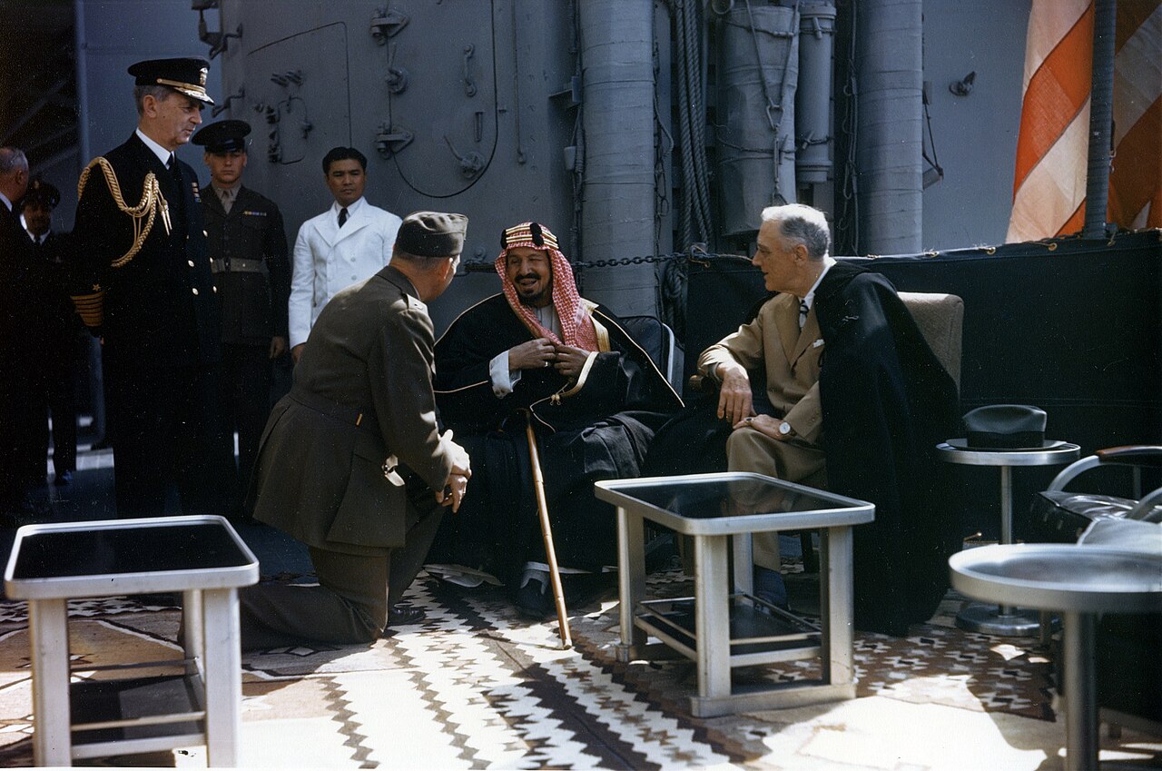 Photograph
Primary source
Roosevelt with King Ibn Saud aboard USS Quincy
U.S. Army Signal Corps · 14 February 1945
Primary source
Treaty of Darin
26 December 1915
 Artifact
Secondary source
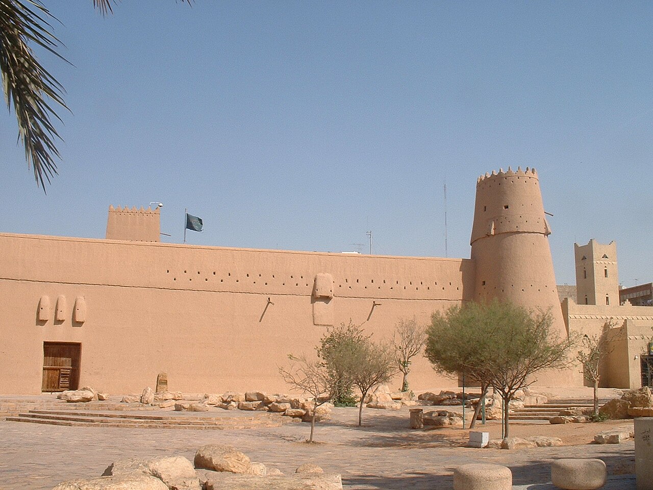
Masmak Fort
1865 (completed 1895)
 Artifact
Secondary source
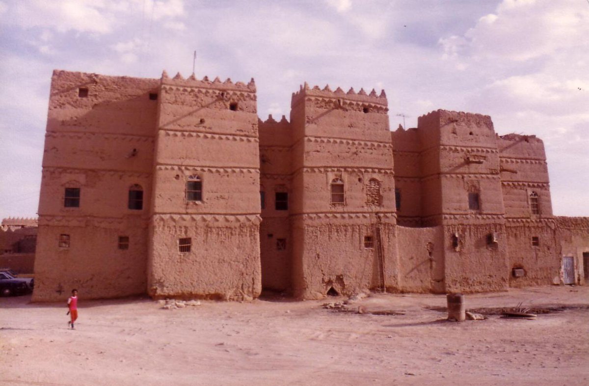
Murabba Palace
1936–1945
Free account
Read every Ibn Saud source
Sign up free →
Ready when you are
Start chatting with Ibn Saud now.
20 messages free · No credit card · Available in 50+ languages.