


Secondary sourceDocument1943
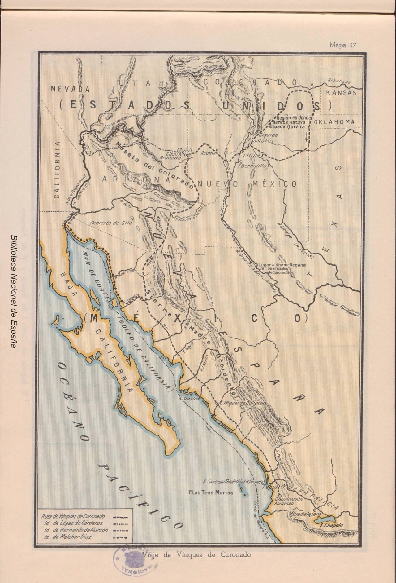
Viaje de Vásquez de Coronado
Editorial Miguel A. Salvatella · 1943
A 1943 printed Spanish-language map illustrating the route of Coronado's expedition through the American Southwest and northern Mexico.
A later educational map illustrating the route of Coronado's expedition across the Southwest and northern Mexico.
About this source
What it is
This is a printed map titled 'Viaje de Vázquez de Coronado,' labeled Mapa 37, published in 1943 by the Spanish publishing house Editorial Miguel A. Salvatella. It shows the American Southwest and northern Mexico, including the Gulf of California and Baja California, with colored dashed lines marking travel routes and a legend.
Why it matters
Created nearly four centuries after Coronado's expedition, this map is a secondary source meant to help students and readers visualize the geography of his journey. It reflects how later historians and educators have tried to reconstruct and teach about his travels through the region.
Look closer
- Why was this map made so long after Coronado's expedition took place?
- What choices did the mapmaker make about which routes and places to include?
- How might a modern map differ from one drawn in Coronado's own time?
This document is part of the curated material that grounds the AI version of Francisco Vázquez de Coronado on Humy.ai — when students ask about related events, the AI can quote it and cite it.
More Francisco Vázquez de Coronado sources
Meet the AI Francisco Vázquez de Coronado →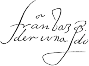 Document
Primary source
Signature of Francisco Vázquez de Coronado
Francisco Vázquez de Coronado
Primary source
Relación de la jornada de Cíbola
Pedro de Castañeda de Nájera · c. 1560s (surviving copy 1596)
Primary source
Letter of Viceroy Antonio de Mendoza to Charles V
Antonio de Mendoza · 17 April 1540
 Book
Secondary source
Relación de los naufragios y comentarios
Álvar Núñez Cabeza de Vaca · 1906 edition (text from the 16th century)
 Artifact
Secondary source
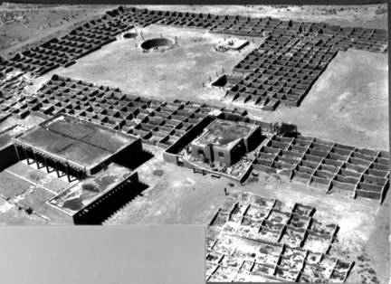
Coronado State Monument
1940 (site dedicated); pueblo occupied c. 1325–late 16th century
Ready when you are
Start chatting with Francisco Vázquez de Coronado now.
20 messages free · No credit card · Available in 50+ languages.