


Secondary sourcePhotograph11 April 2010
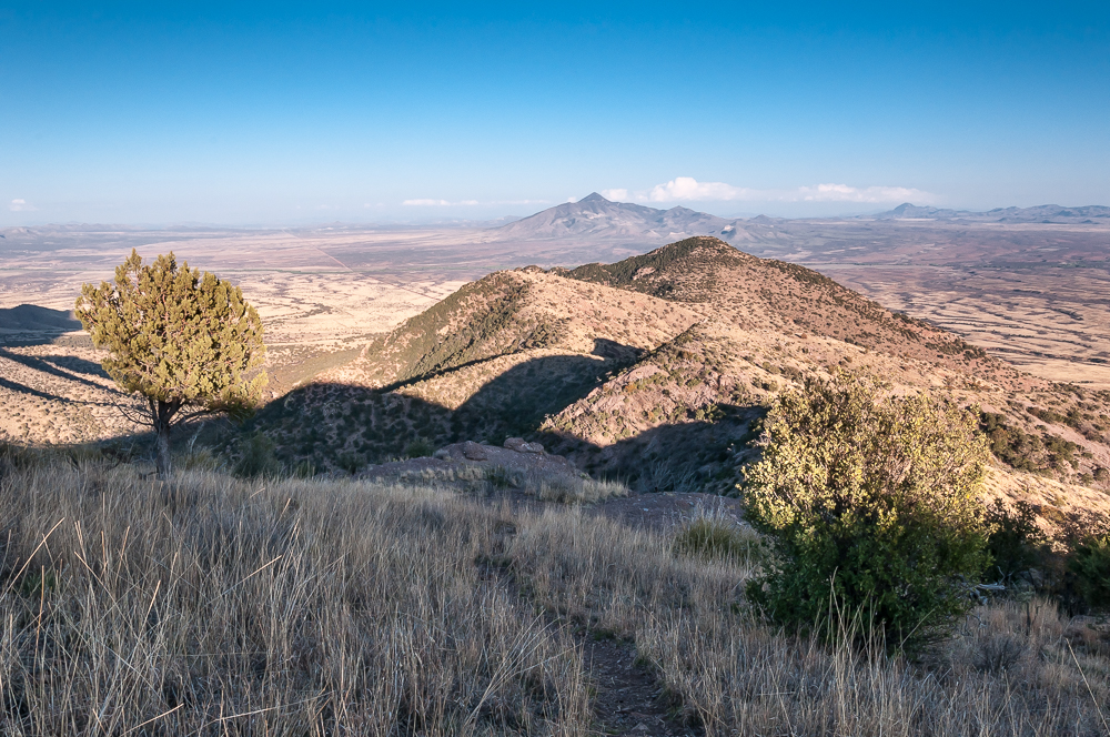
View from Coronado Peak Trail, Arizona
StellarD · 11 April 2010
A modern photograph of the rugged landscape near Coronado National Memorial, a site named to honor the explorer's expedition route.
The memorial and landscape commemorate the route Coronado's expedition is believed to have traveled through this region.
About this source
What it is
This is a modern photograph taken from a hiking trail near Coronado National Memorial in the Huachuca Mountains of Arizona. It shows the dry, rugged terrain of the borderlands region.
Why it matters
The memorial was created to mark the area where Francisco Vázquez de Coronado's expedition is believed to have passed on its journey north in search of fabled cities. The photograph itself shows no historical event, but the place has been chosen by later generations to remember Coronado's expedition and its impact on the region's history.
Look closer
- What does this landscape tell you about the challenges an expedition on horseback and on foot might have faced?
- Why do you think this particular area was chosen as a memorial to Coronado?
- What is missing from a photograph like this that might help you understand the actual historical journey?
This photograph is part of the curated material that grounds the AI version of Francisco Vázquez de Coronado on Humy.ai — when students ask about related events, the AI can quote it and cite it.
More Francisco Vázquez de Coronado sources
Meet the AI Francisco Vázquez de Coronado →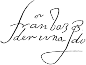 Document
Primary source
Signature of Francisco Vázquez de Coronado
Francisco Vázquez de Coronado
Primary source
Relación de la jornada de Cíbola
Pedro de Castañeda de Nájera · c. 1560s (surviving copy 1596)
Primary source
Letter of Viceroy Antonio de Mendoza to Charles V
Antonio de Mendoza · 17 April 1540
 Book
Secondary source
Relación de los naufragios y comentarios
Álvar Núñez Cabeza de Vaca · 1906 edition (text from the 16th century)
 Artifact
Secondary source
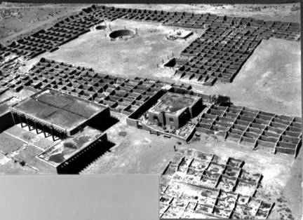
Coronado State Monument
1940 (site dedicated); pueblo occupied c. 1325–late 16th century
Ready when you are
Start chatting with Francisco Vázquez de Coronado now.
20 messages free · No credit card · Available in 50+ languages.