


Secondary sourceArtifact1759
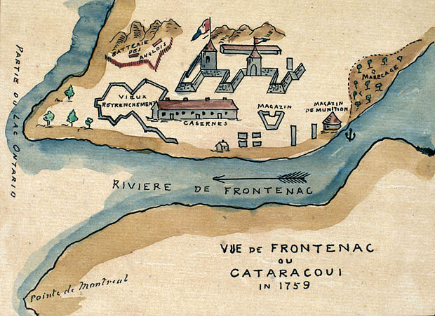
View of Fort Frontenac, 1759
1759
A watercolor map of Fort Frontenac made over seventy years after La Salle founded the post, showing the site in its later state.
Shows Fort Frontenac, the post La Salle founded, as it appeared decades after his death.
About this source
What it is
This watercolor and ink map, titled 'Vue de Frontenac ou Cataracoui in 1759,' shows Fort Frontenac on the shore of a river, with labeled batteries, barracks, a magazine, gardens, and an old entrenchment. It survives as an illustration in an album of Canadian history compiled by Alfred Sandham.
Why it matters
Fort Frontenac was the post La Salle founded and once commanded. This later image, made in 1759, shows how the fort had developed and changed long after La Salle's time, offering a view of the site's continued military importance in New France.
Look closer
- What changes might have happened to the fort between La Salle's time and 1759?
- Why would someone compile old maps and images like this into an album of Canadian history?
- What does the detail of labeled batteries and barracks tell you about the fort's purpose by this date?
This artifact is part of the curated material that grounds the AI version of Robert de La Salle on Humy.ai — when students ask about related events, the AI can quote it and cite it.
More Robert de La Salle sources
Meet the AI Robert de La Salle →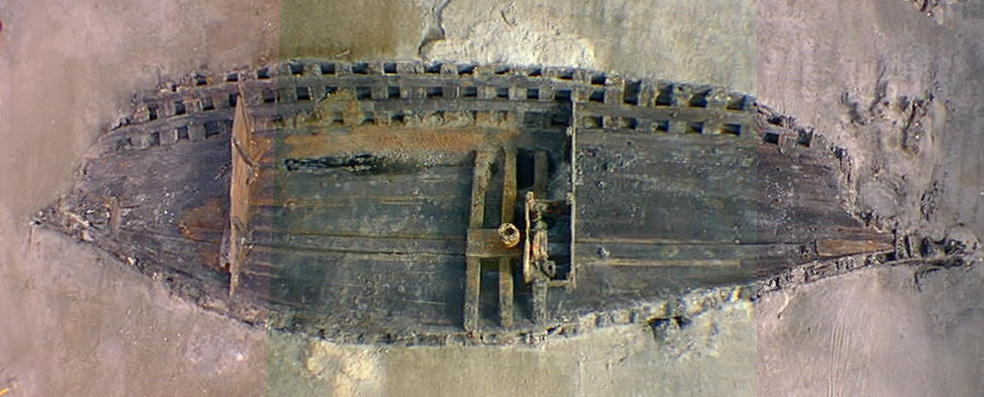 Artifact
Primary source
La Belle Shipwreck and Recovered Hull
French royal navy (built at Rochefort) · 1684 (built); sunk 1686; excavated 1995-97
 Book
Primary source
Description de la Louisiane
Louis Hennepin · 1683
 Document
Primary source
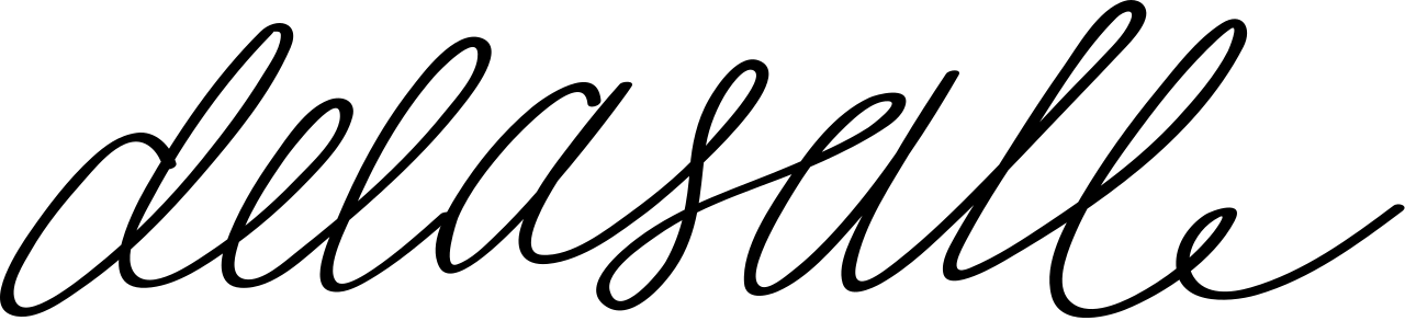
Signature of René-Robert Cavelier, Sieur de La Salle
René-Robert Cavelier, Sieur de La Salle
 Document
Primary source
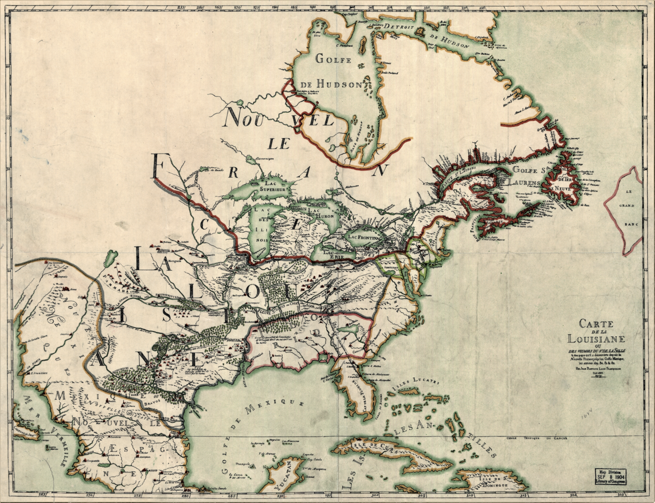
Carte de la Louisiane ou des voyages du Sr. de La Salle
Jean-Baptiste-Louis Franquelin · 1684
 Document
Primary source
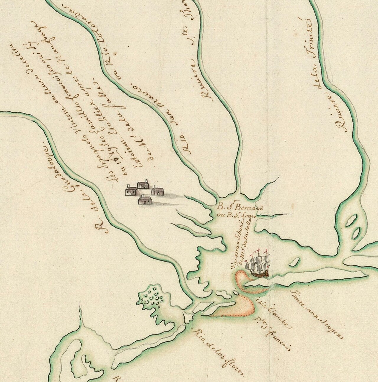
Plan présentant le naufrage d'un navire de Cavelier de La Salle en 1686
Unknown, possibly François Le Maire · late 17th or early 18th century
Ready when you are
Start chatting with Robert de La Salle now.
20 messages free · No credit card · Available in 50+ languages.