


Secondary sourceDocument26 January 2009
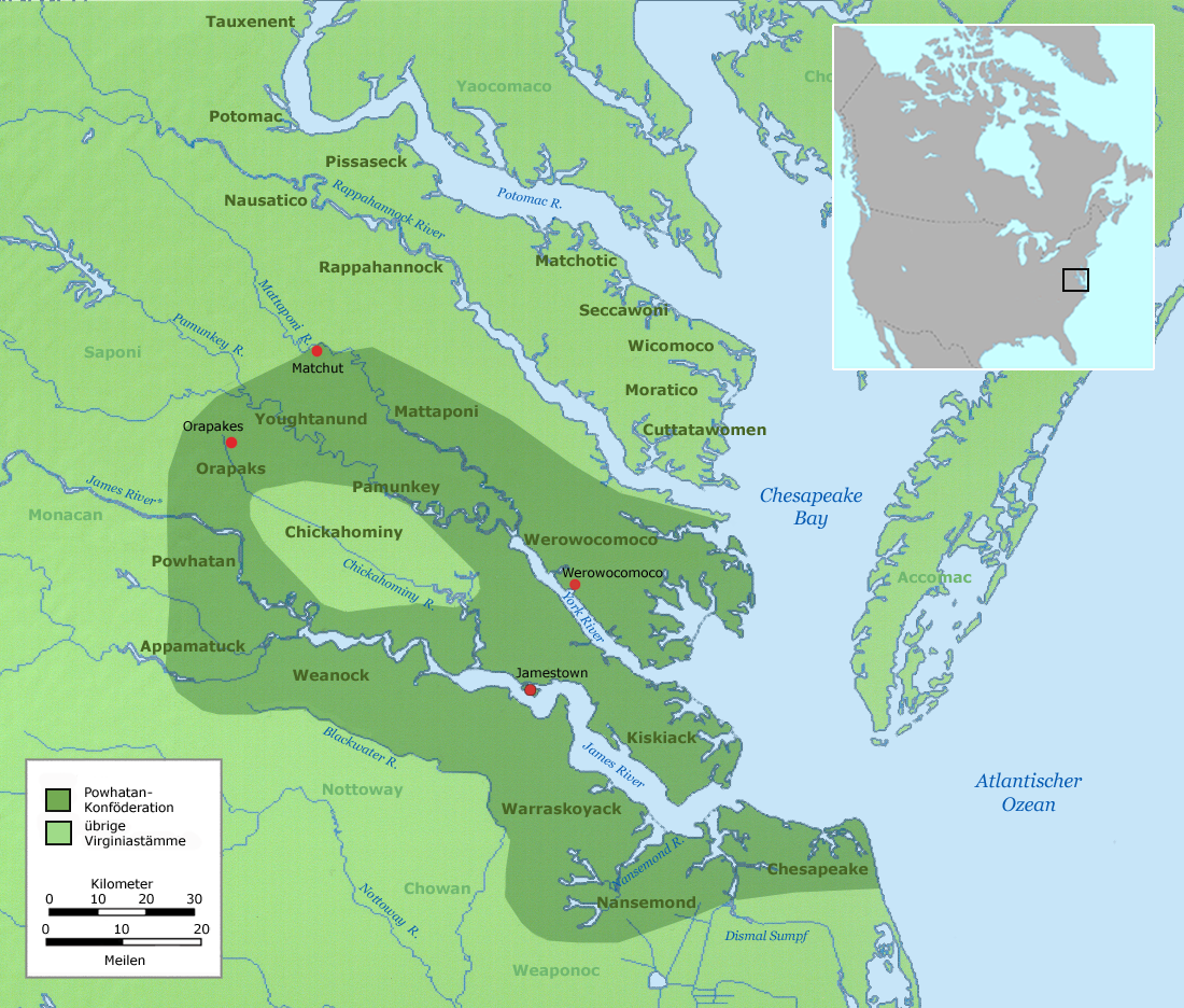
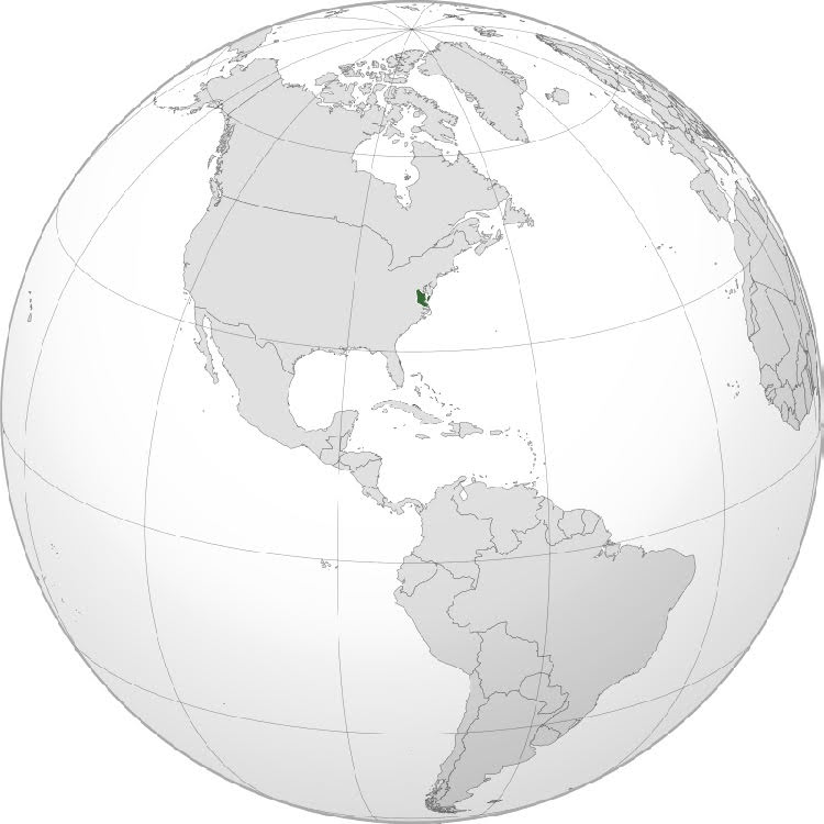
Virginia Algonquin Tribal Territories Map
User:Nikater · 26 January 2009
A modern map showing the territories of Virginia's Algonquian tribes, including the Powhatan Confederation led by Opechancanough.
Shows the territory of the Powhatan Confederation that Opechancanough led within the wider region.
About this source
What it is
This map, created in 2009 by a Wikimedia contributor known as Nikater, shows the tribal territories of Virginia's Algonquian-speaking peoples around the Chesapeake Bay. It highlights the Powhatan Confederation in darker shading, alongside rivers, Jamestown, and the Atlantic coast.
Why it matters
This is a modern reference map, not a historical document, but it helps place Opechancanough's leadership of the Powhatan Confederacy within the wider geography of 17th-century Virginia and its neighboring Algonquian groups.
Look closer
- Why might it be useful to see the Powhatan Confederation's territory alongside Jamestown on the same map?
- What does the map leave out about how these territorial boundaries were understood by the people who lived there?
This document is part of the curated material that grounds the AI version of Opechancanough on Humy.ai — when students ask about related events, the AI can quote it and cite it.
More Opechancanough sources
Browse all 35 →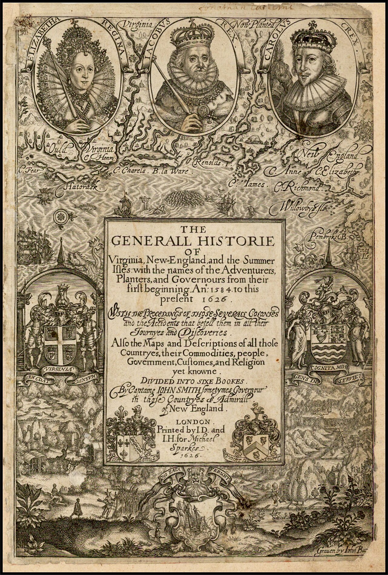 Book
Primary source
The Generall Historie of Virginia, New-England, and the Summer Isles
John Smith · 1624
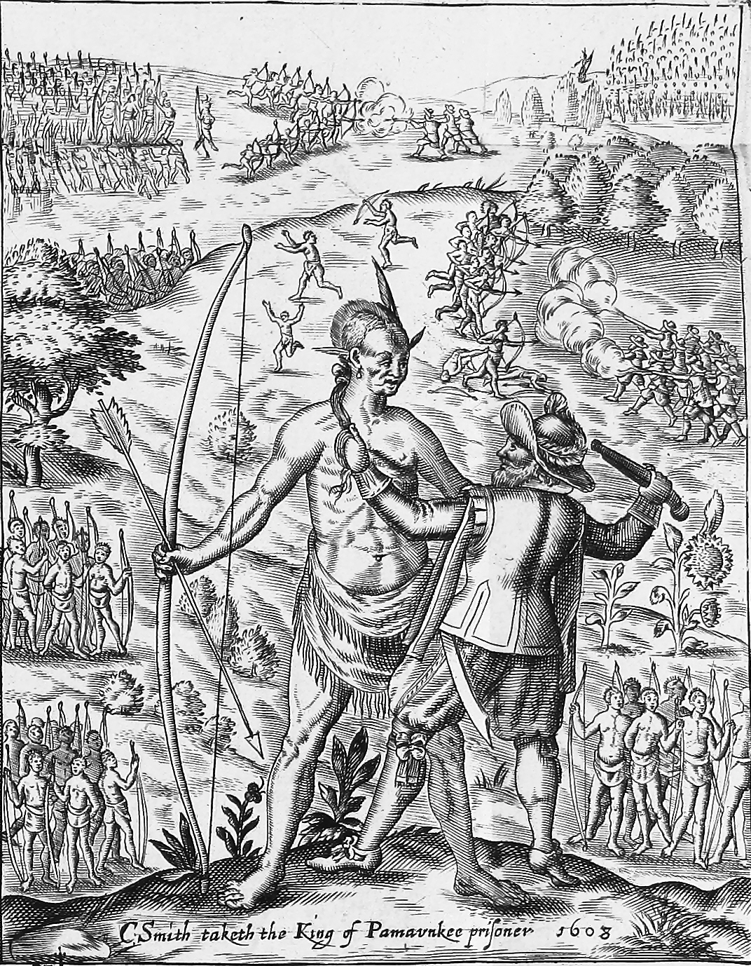 Painting
Primary source
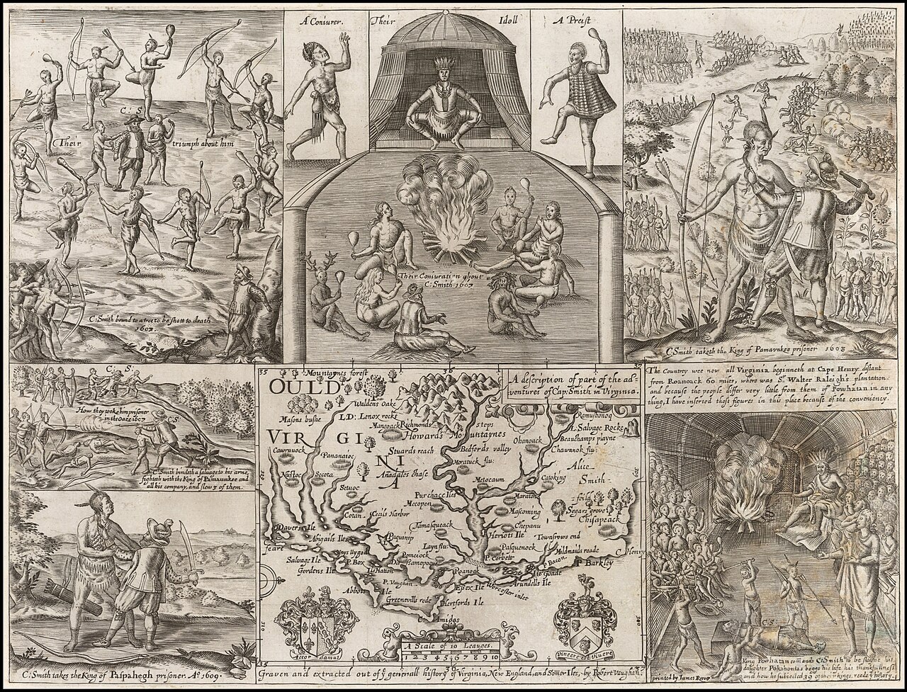
John Smith taking the King of Pamunkee prisoner
Robert Vaughan · 1624
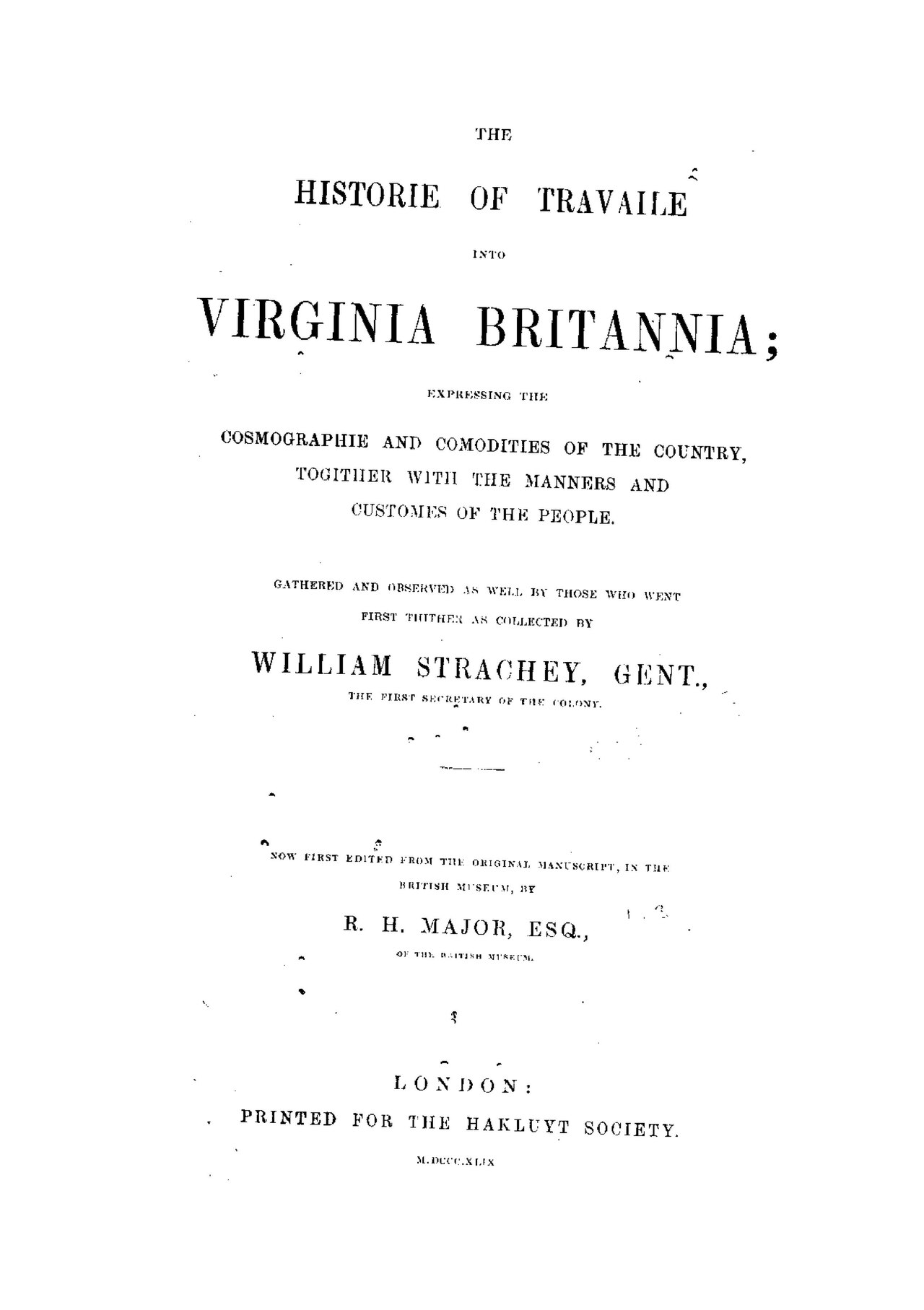 Book
Primary source
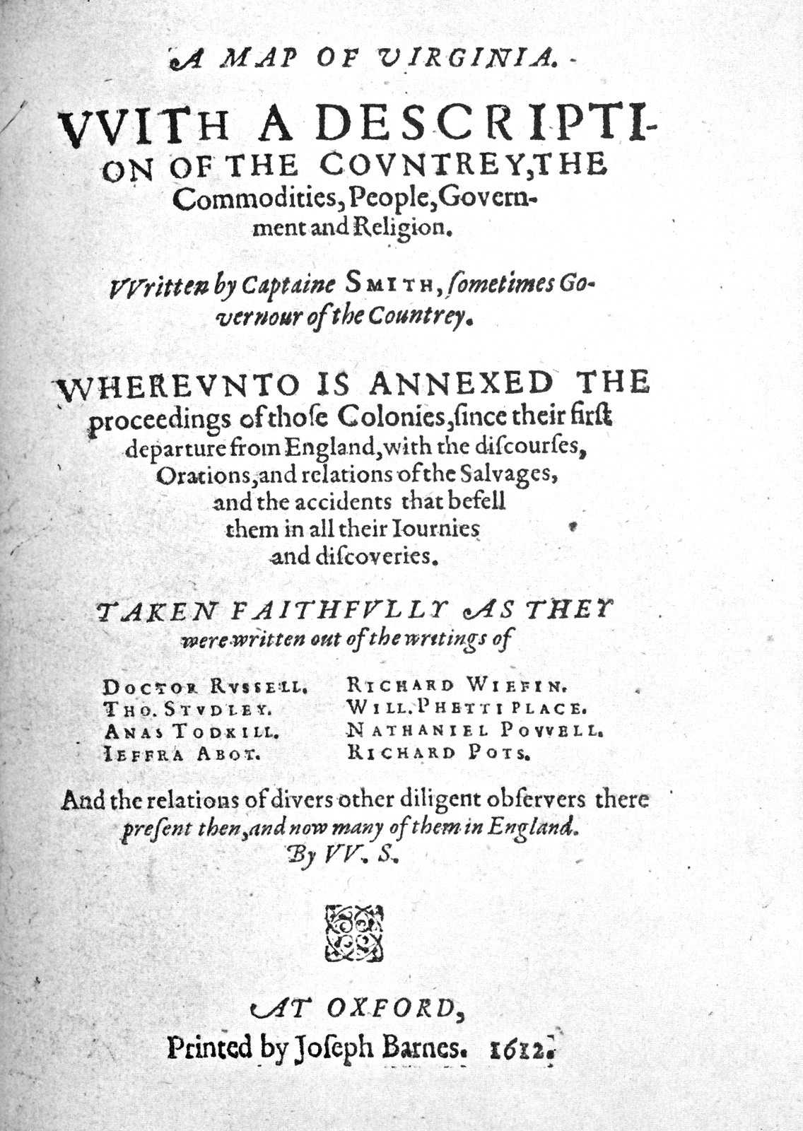
The Historie of Travaile Into Virginia Britannia
William Strachey · c. 1612
 Painting
Secondary source
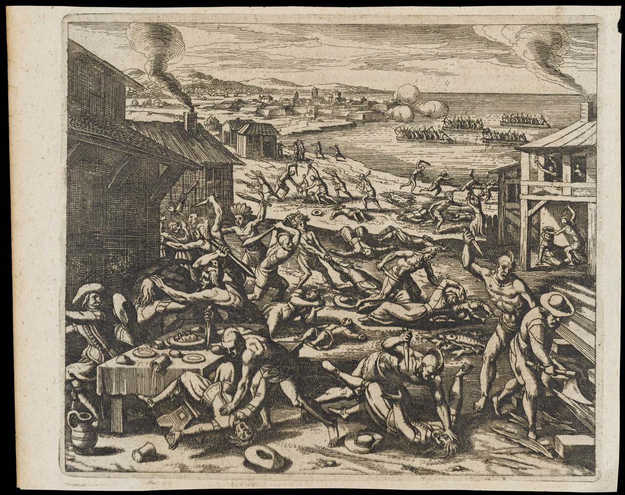
Indians Slaughtering the English Near Jamestown
Gottfried · 1655
Free account
Browse every Opechancanough source
Sign up free →
Ready when you are
Start chatting with Opechancanough now.
20 messages free · No credit card · Available in 50+ languages.