


Primary sourceDocument1670
Virginia and Maryland as it is planted
Augustin Heřman · 1670
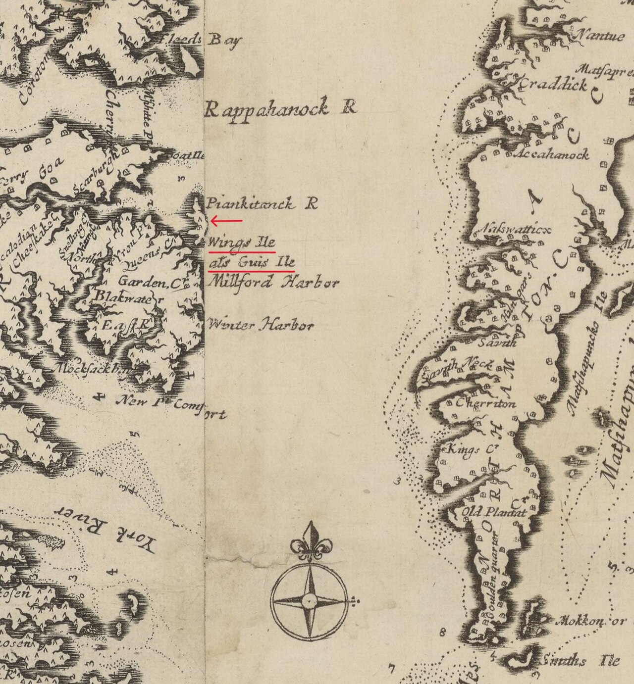
A 1670 engraved map of the Chesapeake Bay region showing the Virginia and Maryland colonies where Margaret Brent lived.
This 1670 map depicts the Chesapeake region of Virginia and Maryland, the world Margaret Brent inhabited as a colonist.
About this source
What it is
This is a 1670 engraved map of the Chesapeake Bay region, created by Augustin Herrman with engraving by Henry Faithorne and editing by Thomas Withinbrook. It shows rivers, harbors, islands, and place names across Virginia and Maryland.
Why it matters
This map does not show Margaret Brent herself, but it depicts the physical world of the Chesapeake colonies where she lived and worked as a landowner and legal figure in the mid-1600s. Maps like this reveal how colonists understood and claimed the land around them.
Look closer
- What details on the map—rivers, harbors, place names—tell you about what mattered most to the people who made it?
- Why would a mapmaker like Herrman create such a detailed chart of this coastline?
- What is missing from a map like this—whose presence or ownership of the land is left out?
This document is part of the curated material that grounds the AI version of Margaret Brent on Humy.ai — when students ask about related events, the AI can quote it and cite it.
More Margaret Brent sources
Browse all 18 → Document
Primary source
Archives of Maryland, Volume 1: Proceedings and Acts of the General Assembly, 1637/8–1664
Maryland General Assembly (ed. William Hand Browne) · 1637–1664 (published 1883)
 Document
Primary source
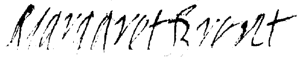
Signature of Margaret Brent
Margaret Brent
 Painting
Secondary source
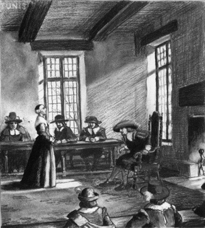
Portrait of Margaret Brent
 Book
Secondary source
Narratives of Early Maryland, 1633-1684
Clayton Colman Hall · 1910
Free account
Browse every Margaret Brent source
Sign up free →
Ready when you are
Start chatting with Margaret Brent now.
20 messages free · No credit card · Available in 50+ languages.