


Secondary sourceArtifact26 January 2006
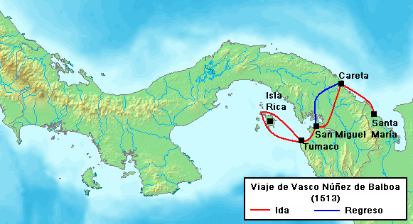
Voyage of Vasco Núñez de Balboa in 1513
26 January 2006
A modern map illustrating Balboa's 1513 route across the Isthmus of Panama, including his outbound journey and return.
A modern map tracing the historic route Balboa took during his 1513 crossing of the isthmus.
About this source
What it is
This is a modern illustrative map created in 2006, showing the route Vasco Núñez de Balboa took in 1513 across the Isthmus of Panama. Red lines mark his outbound journey from Tumaco and Isla Rica toward Careta and Santa María, while a blue line shows his return path to San Miguel and Tumaco.
Why it matters
Balboa's crossing of the isthmus led to the first documented European sighting of the Pacific Ocean from the Americas. This map helps visualize the geography of that journey, though it was made centuries later as an educational tool rather than by anyone who traveled with Balboa.
Look closer
- Why might mapmakers today still find it useful to trace old exploration routes like Balboa's?
- What geographic challenges might Balboa's expedition have faced based on the terrain shown here?
- How does a modern map like this differ from maps that explorers themselves might have drawn?
This artifact is part of the curated material that grounds the AI version of Vasco Nunez de Balboa on Humy.ai — when students ask about related events, the AI can quote it and cite it.
More Vasco Nunez de Balboa sources
Meet the AI Vasco Nunez de Balboa →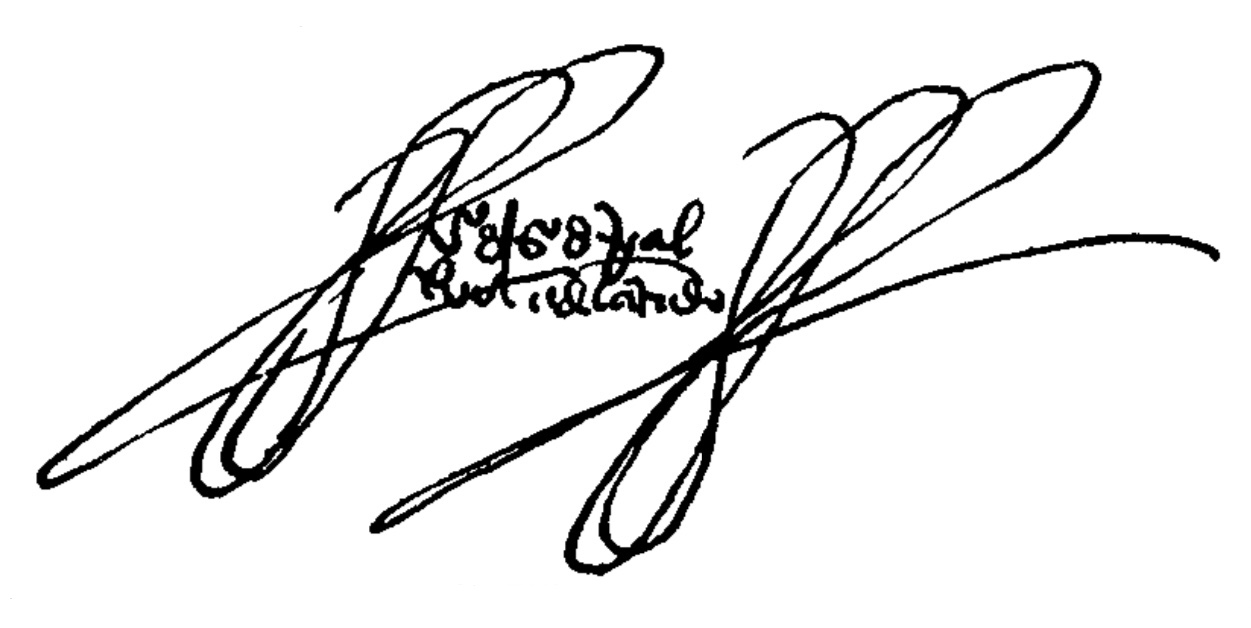 Document
Primary source
Signature of Vasco Núñez de Balboa
Vasco Núñez de Balboa
 Book
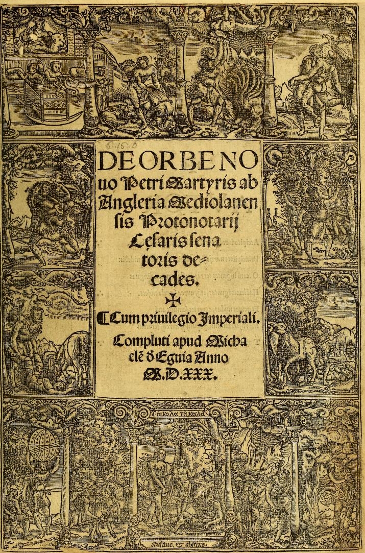
Secondary source
Decades of the New World
Peter Martyr d'Anghiera · 1530 (complete edition)
 Book
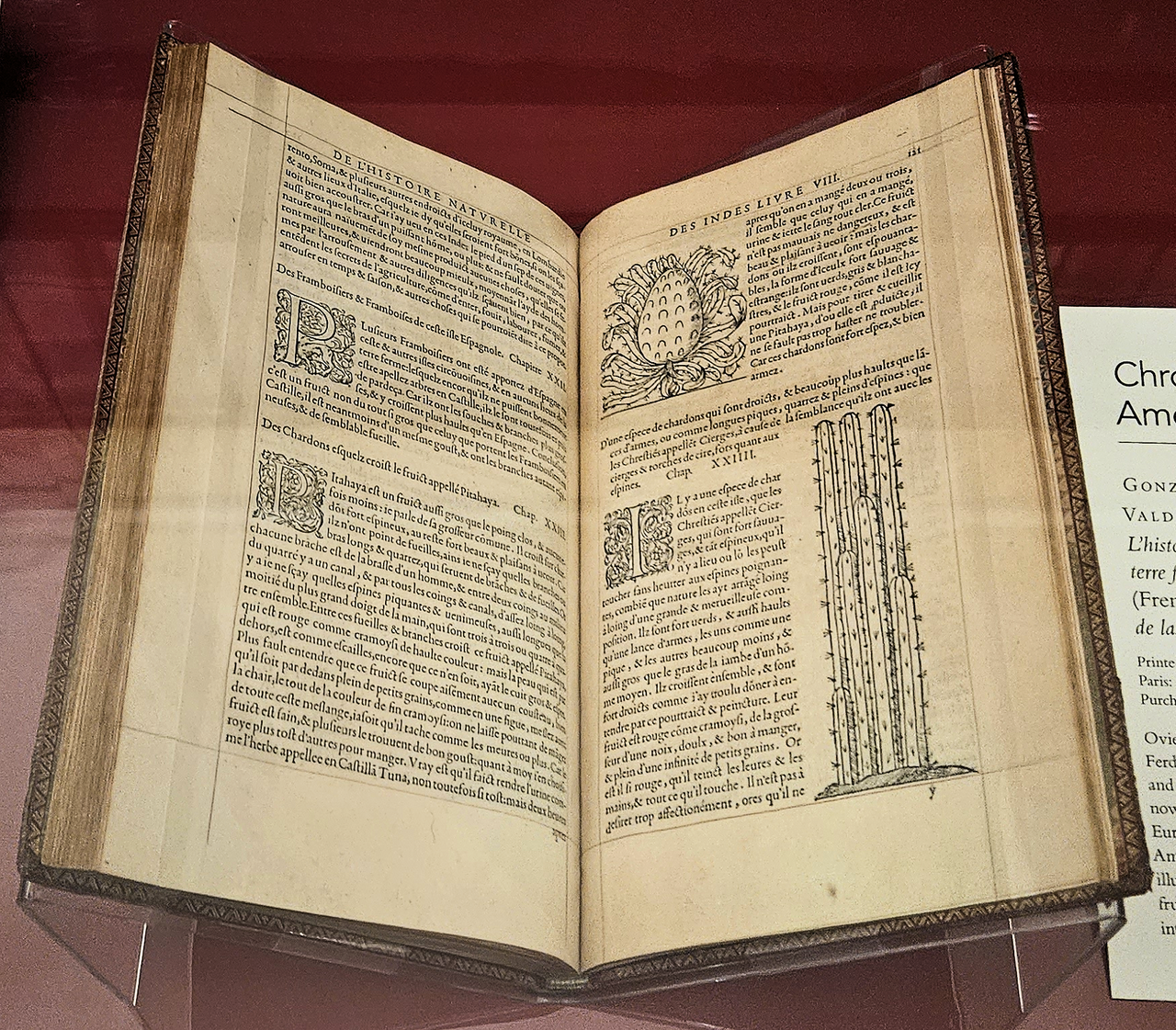
Secondary source
Historia general y natural de las Indias
Gonzalo Fernández de Oviedo y Valdés · 1556 (French edition); original work 16th century
 Book
Primary source
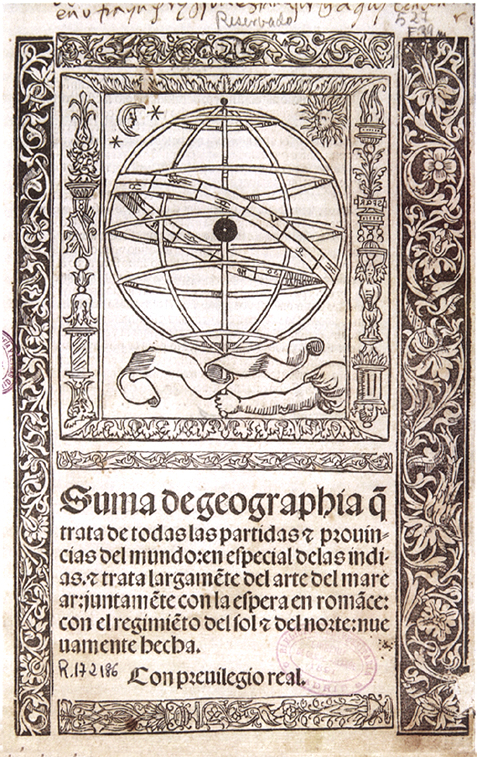
Suma de Geographia
Martín Fernández de Enciso · 1519
 Painting
Secondary source
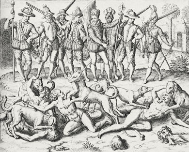
Balboamurder
Theodor de Bry · 1594
Ready when you are
Start chatting with Vasco Nunez de Balboa now.
20 messages free · No credit card · Available in 50+ languages.