


Primary sourcePainting
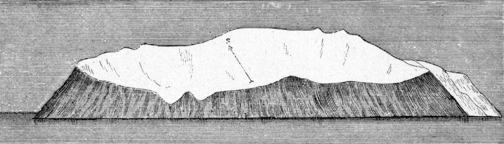
West Diomede Island from the North
John Muir
An engraved drawing by John Muir of West Diomede Island seen from the north, made as one of his illustrations for The Cruise of the Corwin.
Shows one of Muir's own island views from the Corwin voyage, part of the record he kept of Arctic coasts.
About this source
What it is
This is an engraved line drawing of West Diomede Island seen from the north. It shows a flat-topped, icy mass rising from dark, striated cliffs above the waterline, with a small arrow-and-letter marking on its upper surface. The collection record calls it Muir's own illustration from The Cruise of the Corwin. The copy shown is a digital image held in the Wikimedia Commons archive.
Why it matters
Muir made drawings like this to record the coasts and islands he passed on the voyage. Such images gave readers a visual sense of places they would not visit. The drawing also shows the careful mapping habits that scientists of the period used to describe new land.
Look closer
- What does the arrow-and-letter marking on the island seem to be for?
- How does the drawing show the difference between ice, rock and water?
- What would a viewer not know about this island from this one view?
This painting is part of the curated material that grounds the AI version of John Muir on Humy.ai — when students ask about related events, the AI can quote it and cite it.
More John Muir sources
Meet the AI John Muir →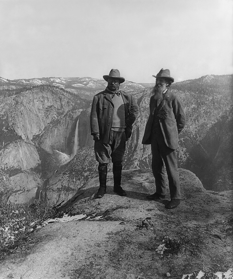 Photograph
Primary source
Muir and Roosevelt at Glacier Point
Underwood & Underwood · 1903
Primary source
My First Summer in the Sierra
John Muir · 1911
Primary source
Our National Parks
John Muir · 1901
 Document
Primary source
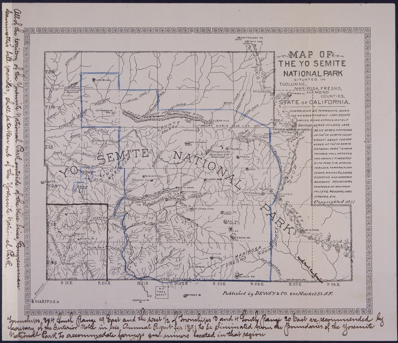
Petition and Map from the Sierra Club Founders
John Muir and the Sierra Club
 Book
Primary source
The Mountains of California
John Muir · 1894
Ready when you are
Start chatting with John Muir now.
20 messages free · No credit card · Available in 50+ languages.